TPMS or Tyre Pressure Management Systems are they worth the money to buy one or not? I’d read about these systems that measure the tyre pressure and temperature of your tyres and wondered whether they were really worth it. Lots of truck companies insist on them being on all their trucks now as a TPMS can alert you to a potential failing tyre and you can do something about it before the tyre blows out and causes a real problem.
After a bit of research reading forums and such we purchased the Safety Dave TPMS online directly from Safety Dave. Our motorhome is based on an Iveco chassis and we have two front wheels and four rear wheels, two on either side of the rear axle so we needed 6 sensors.
The TPMS arrive quickly by Australia Post and we installed it a couple of days before we were due to leave on our Big Red Bash trip. The monitor goes on the dash and the sensors are attached to the valve of each tyre in place of the valve cap. They wirelessly send data to the monitor for each tyre. Very quickly we found one of our tyres was losing air so we took the MH to our local tyre dealer. The tyre was taken off however nothing could be found wrong with it so the valve was replaced in case it was a faulty valve. We were good to go.
We set off on our way and found the tyre was still losing air slowly so once we arrived in Hillston it was straight to the tyre shop. Again they couldn’t find anything wrong and said we were good to go. We set off towards Mt Hope but the tyre was still losing air. Something was still wrong. Back to Hillston where we had to stay overnight so we could visit the tyre shop the next morning.
Next morning the tyre came off again and again nothing could be found wrong with it. The valve was fine. The only thing it could be was possibly the valve extension and they didn’t have any. We would have to try in Cobar.
We arrived in Cobar and went straight to the tyre shop where we were able to get a new valve extension and yay…..this finally solved the problem of the leaking air. Without the TPMS we would not have known the tyre was slowly leaking. It would have just kept going down until one of us noticed that it was getting flat. We could also have had a blow out in that tyre that could have caused all sorts of problems.
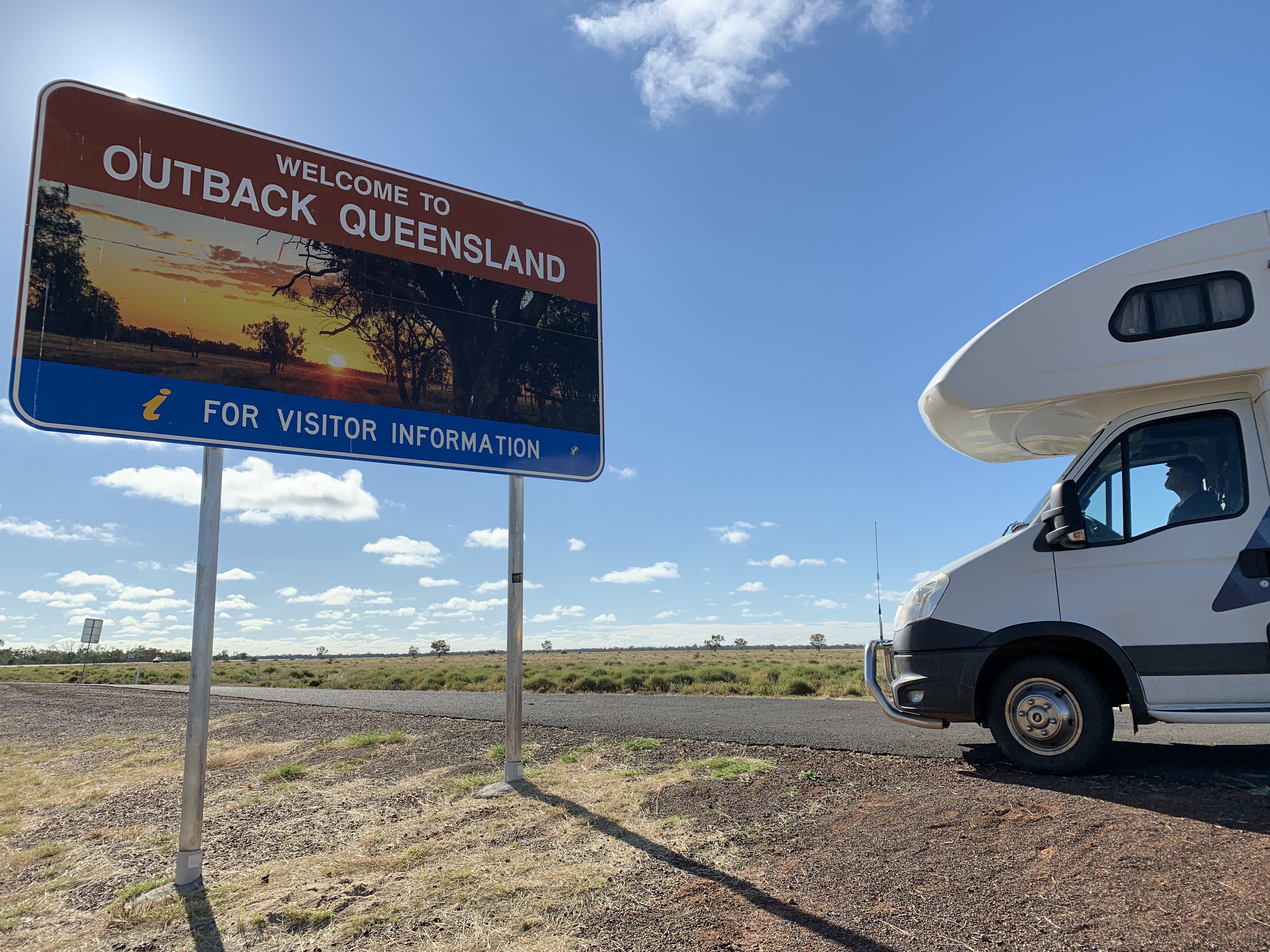
Already I think the TPMS has paid for itself and we can confidently continue on our journey to the Outback.
Month: June 2021
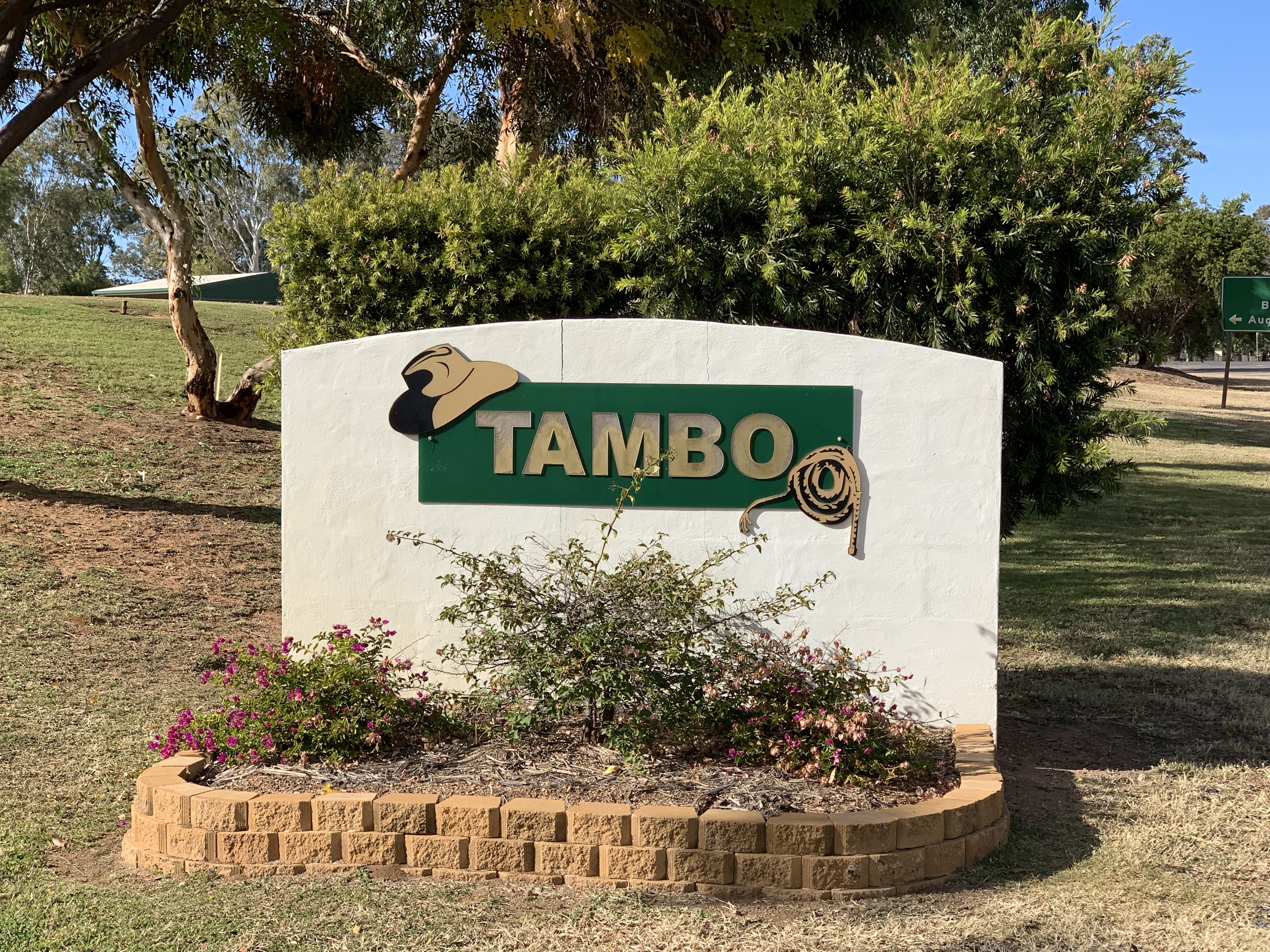
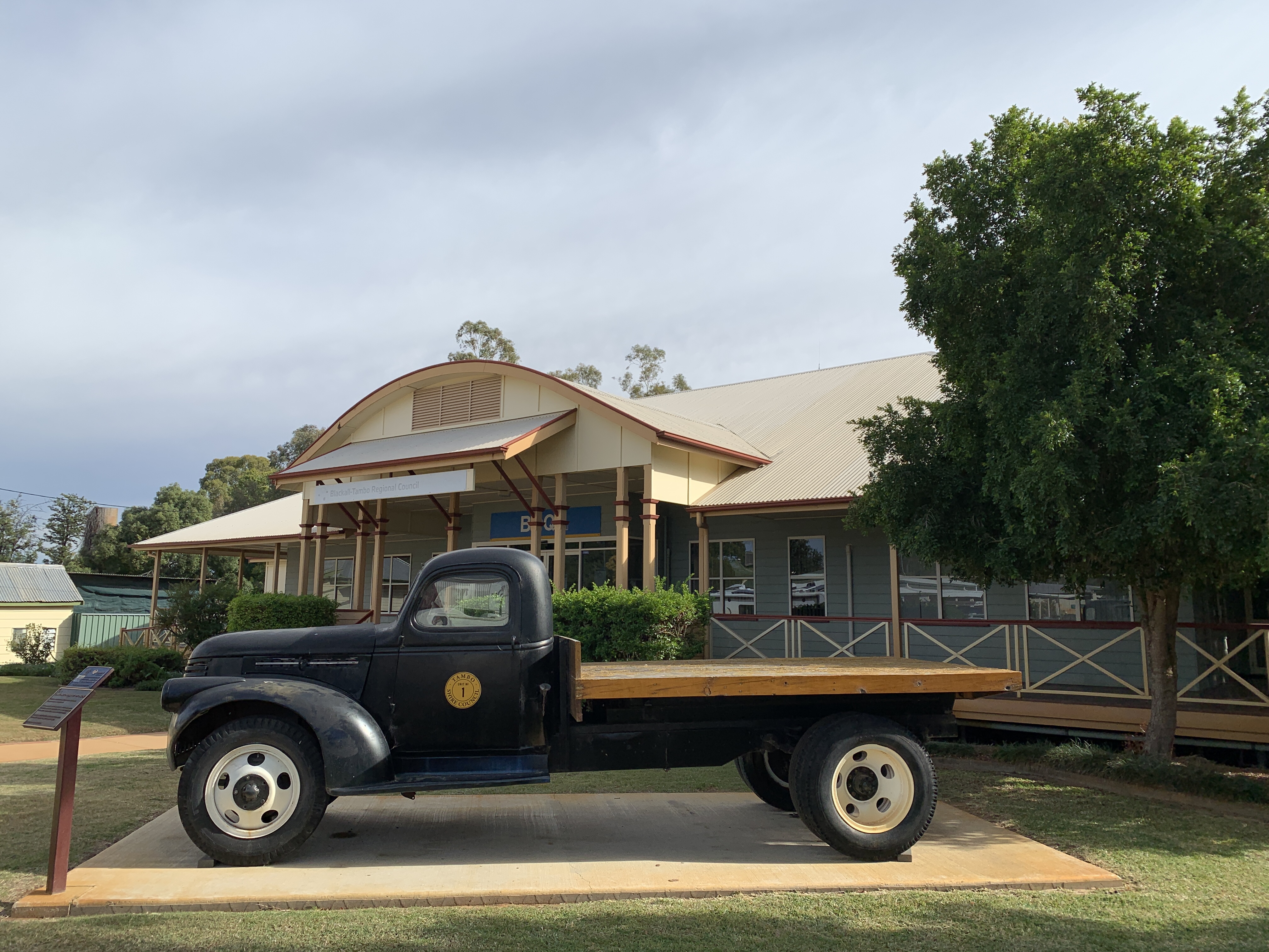
Tambo to Lara Wetlands
We set off from camp after a long leisurely breakfast and discovered that we couldn’t access the track that leads to the site of the 1927 Qantas plane crash as the bridge across the Barcoo is being replaced and the whole section of road including access to the walking track to the crash site is blocked off. Oh well. Have to do that one if we ever come this way again.
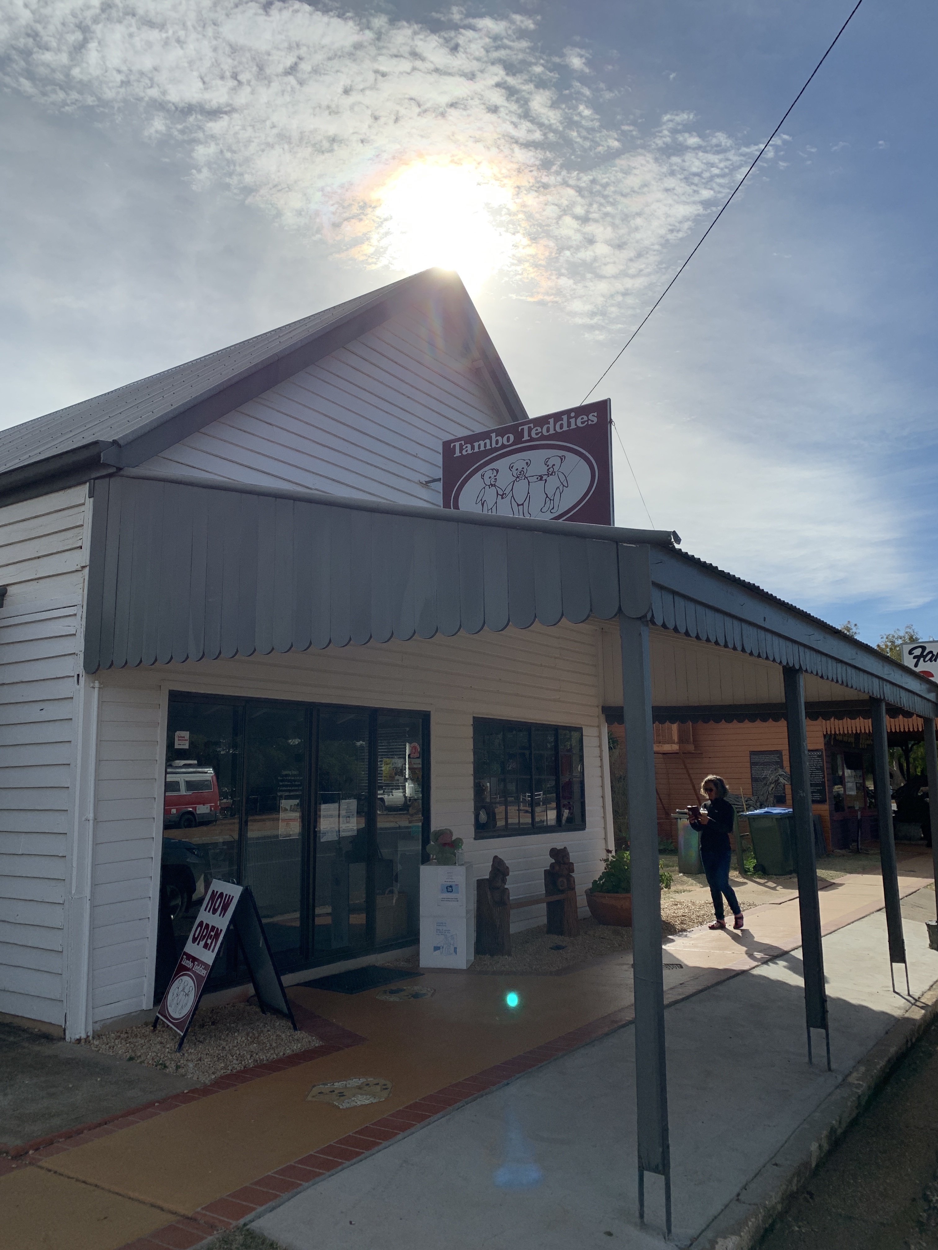
We filled up with fuel and then spent an hour or so exploring the little Main Street of Tambo. Tambo is famous for its Tambo Teddies. This is a local success story. Tambo Teddies was born in 1993 when three local ladies decided to assist the ailing wool industry, encourage tourists and create employment by making teddy bears from wool pelts and stuffing them with wool. Tambo Teddies took off. The teddies were a big hit. The last of the three ladies retired in 2014 and sold the business to two other local ladies and these two are continuing the tradition of Tambo Teddies.
Every teddy sold is unique, has their own personality and they are all named after Tambo farming properties. Each teddy has its own name and number. Tambo Teddys were gifted to the Duke & Duchess of Cambridge and the Duke & Duchess of Sussex during their 2014 and 2018 royal tours.


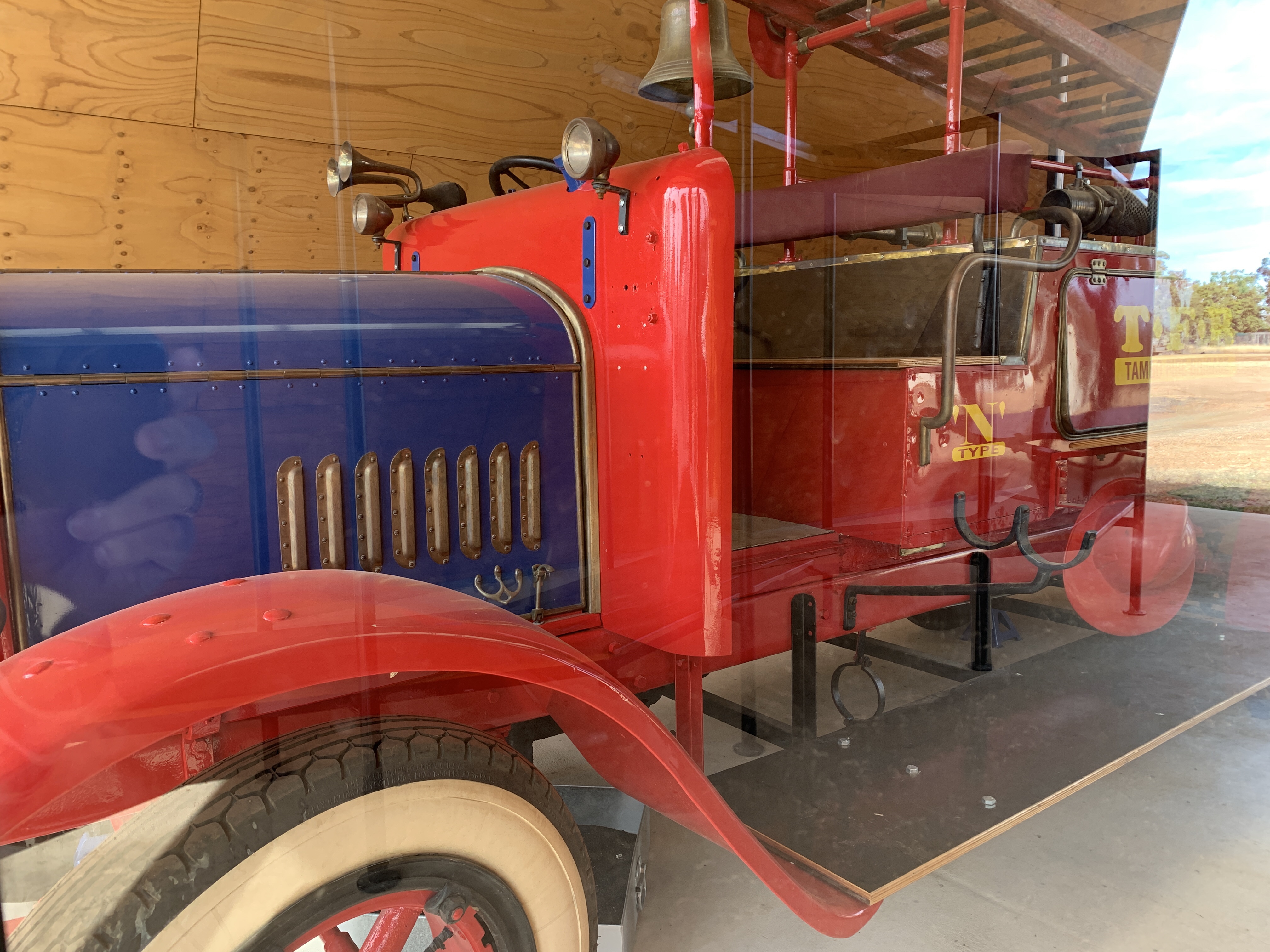
In the Main Street is a building housing ‘Flo’ a restored Dennis Fire Engine built in Surrey in 1921. Flo was once part of the Tambo Fire Brigade however she was notoriously unreliable and difficult to start. Rumour has it that she was so slow to start that before she even arrived at a fire on Albert Street the fire was already out.
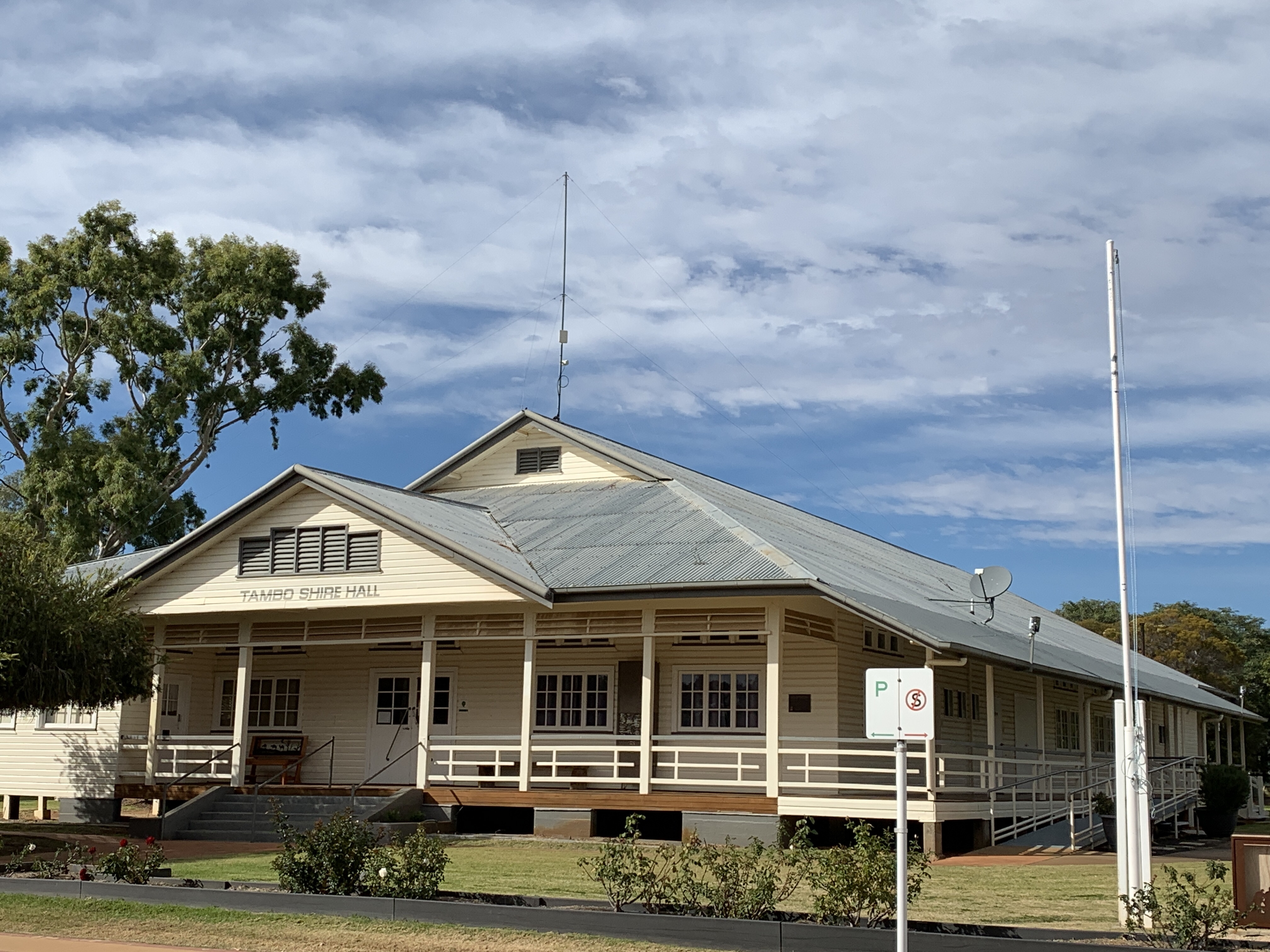
The historic Post Office built in 1876 is now the town museum. On the other side of the road is the new Post Office built in 1904.
The Historic Court House built in 1888 is now the town Library and Visitors Centre.
This little town has two caravan parks as well as the free camp on the Barcoo River where we camped last night. They are obviously doing everything they can to attract visitors to the town and it was working. We saw many RV’s pulled up and lots of visitors walking along the Main Street checking out the shops, buying a teddy or two, having a coffee, buying fuel and all adding to the town’s economy.


The road between Tambo and Blackall is a wide two lane tar road but it’s a rough one. It’s a road train route and these heavy vehicles really are hard on road surfaces. The motorhome shook and bounced over this rough road. We crossed the Barcoo River again and this time there was a little muddy water in it. We didn’t see many animals on this part of the road just a few mobs of cattle. What we did see was lots of RV’s of all descriptions. Every man and his dog must be travelling the Outback!


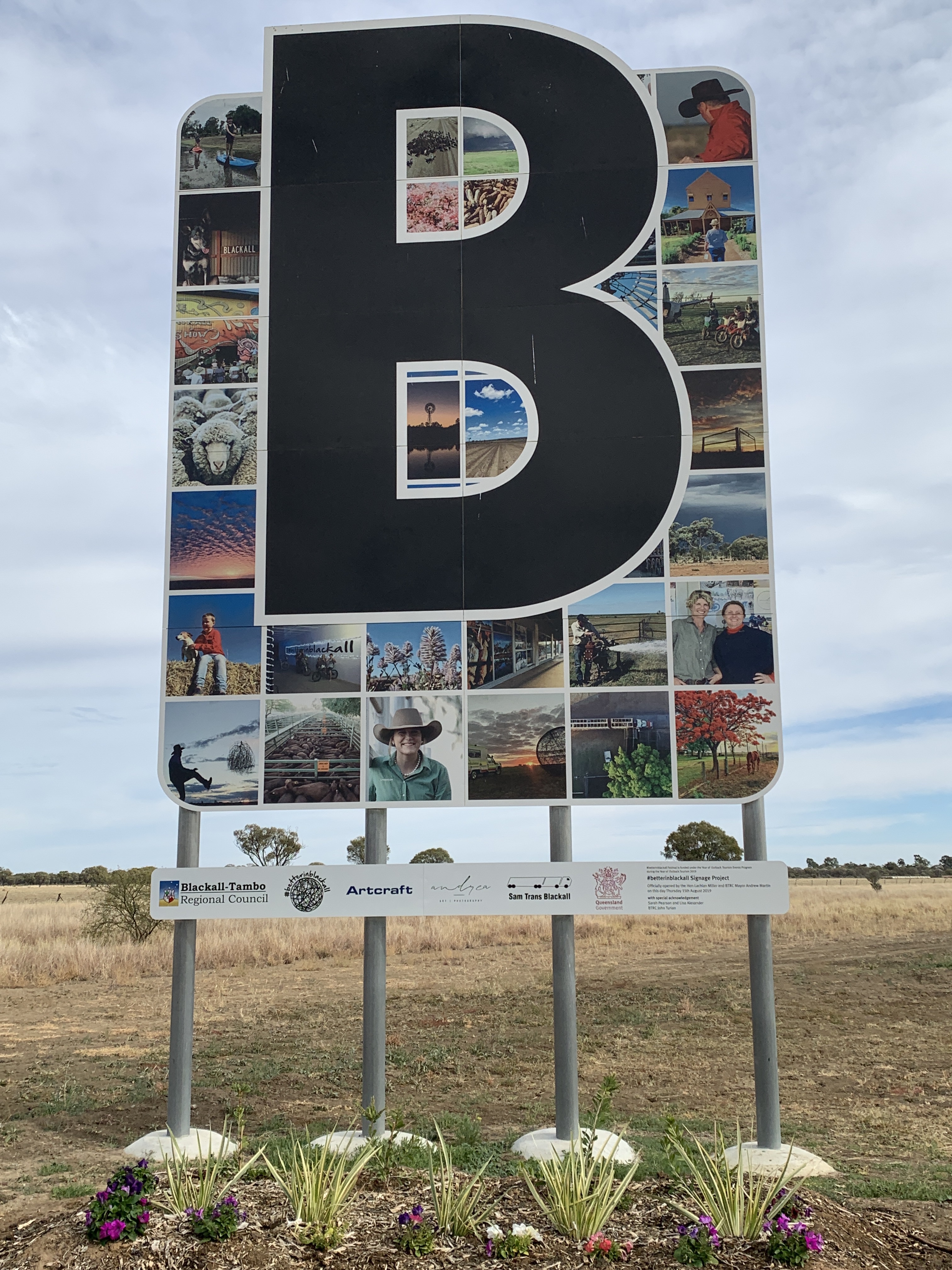
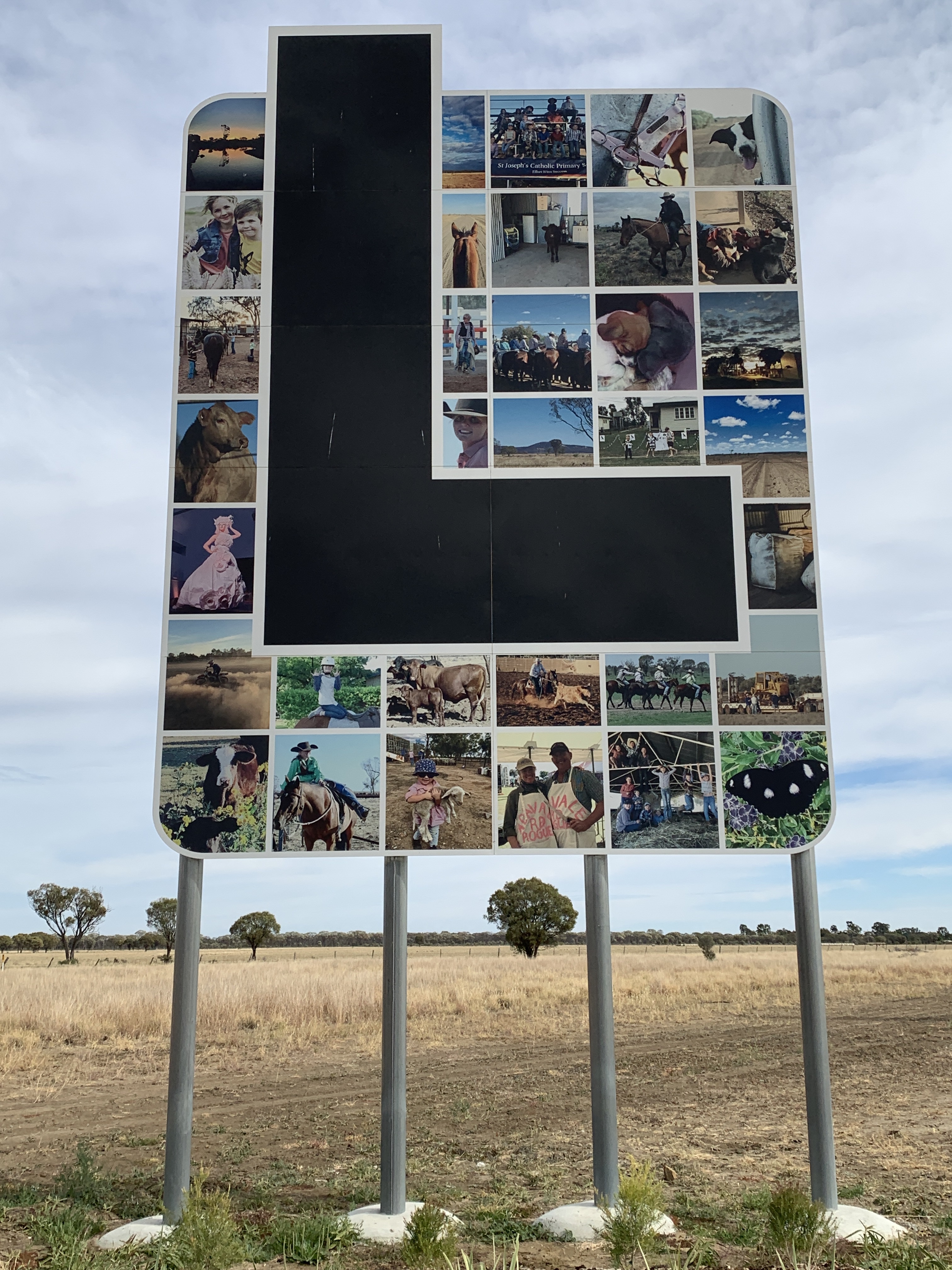
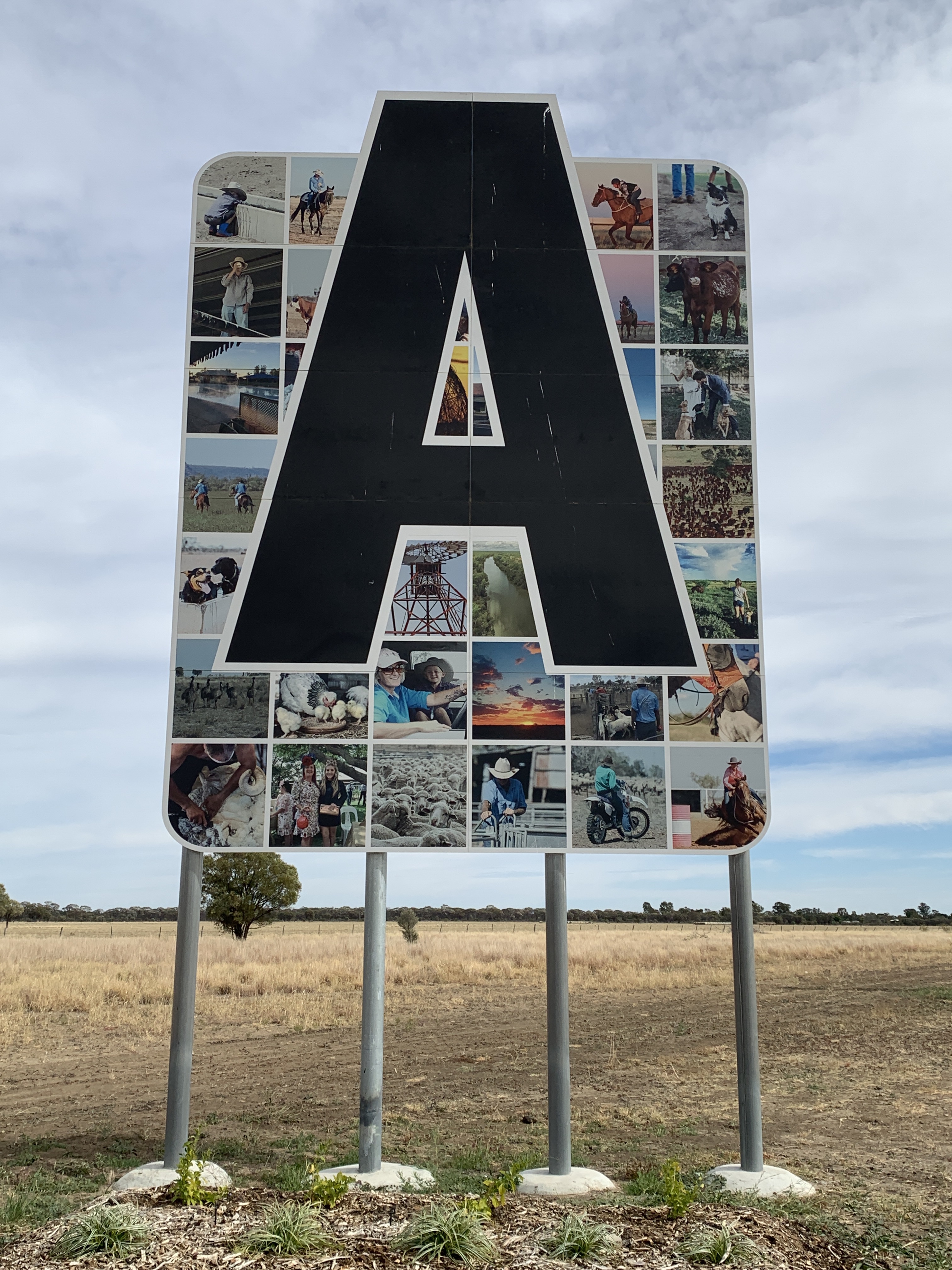
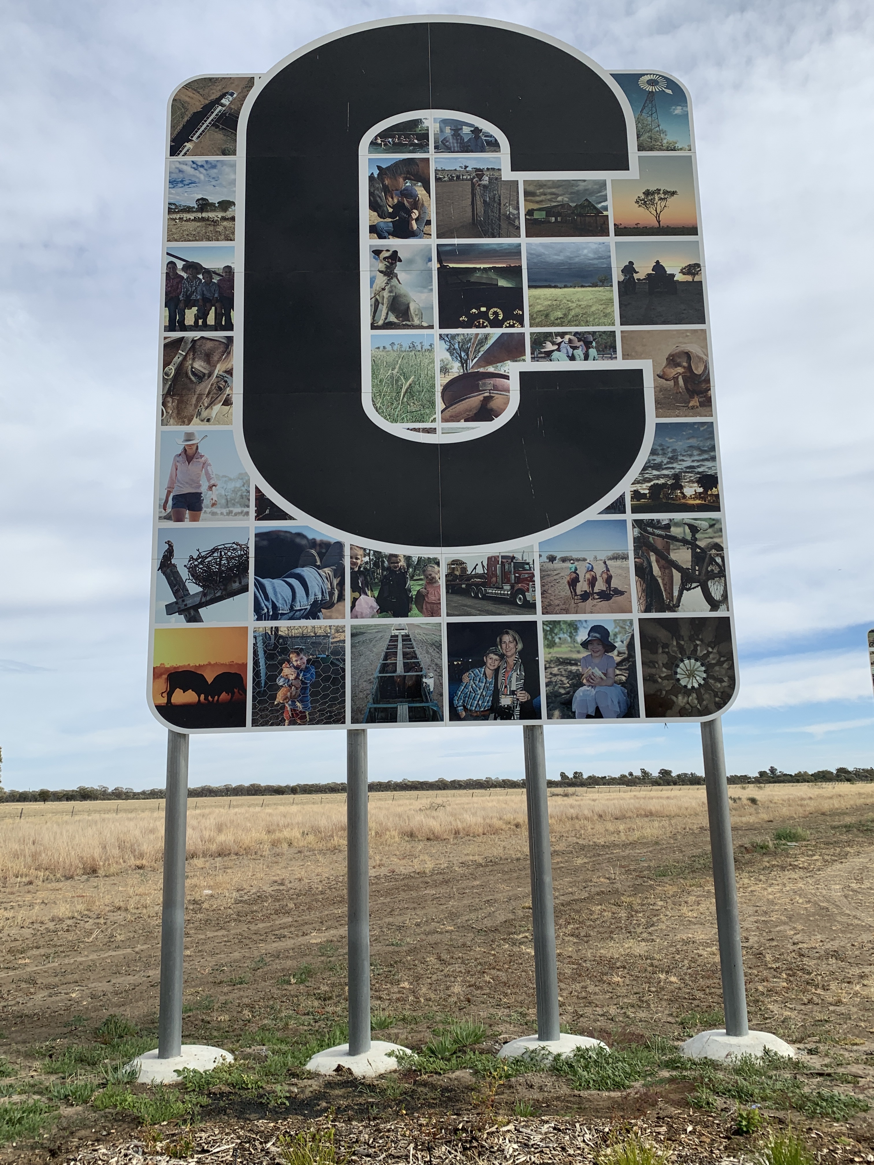
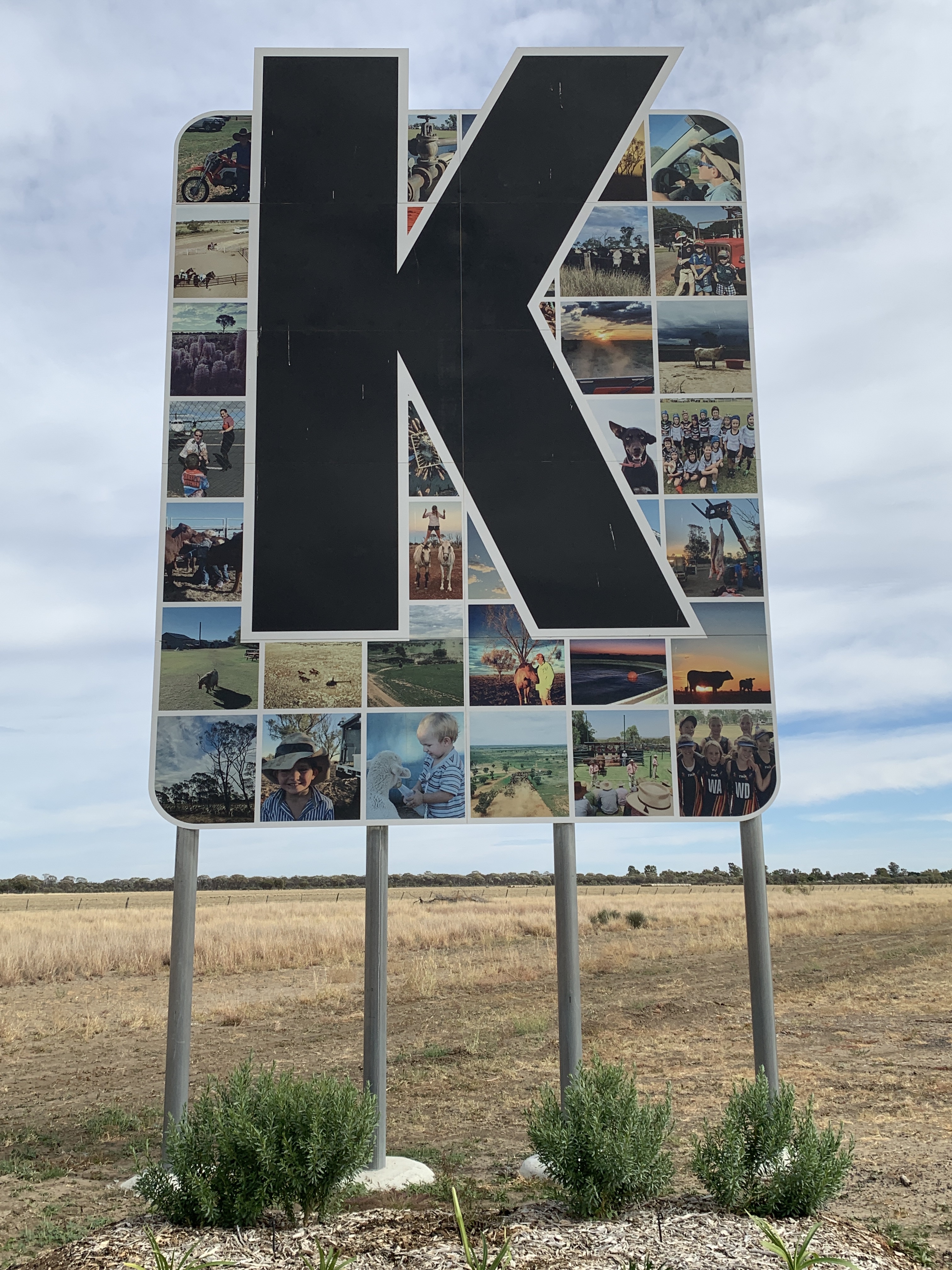
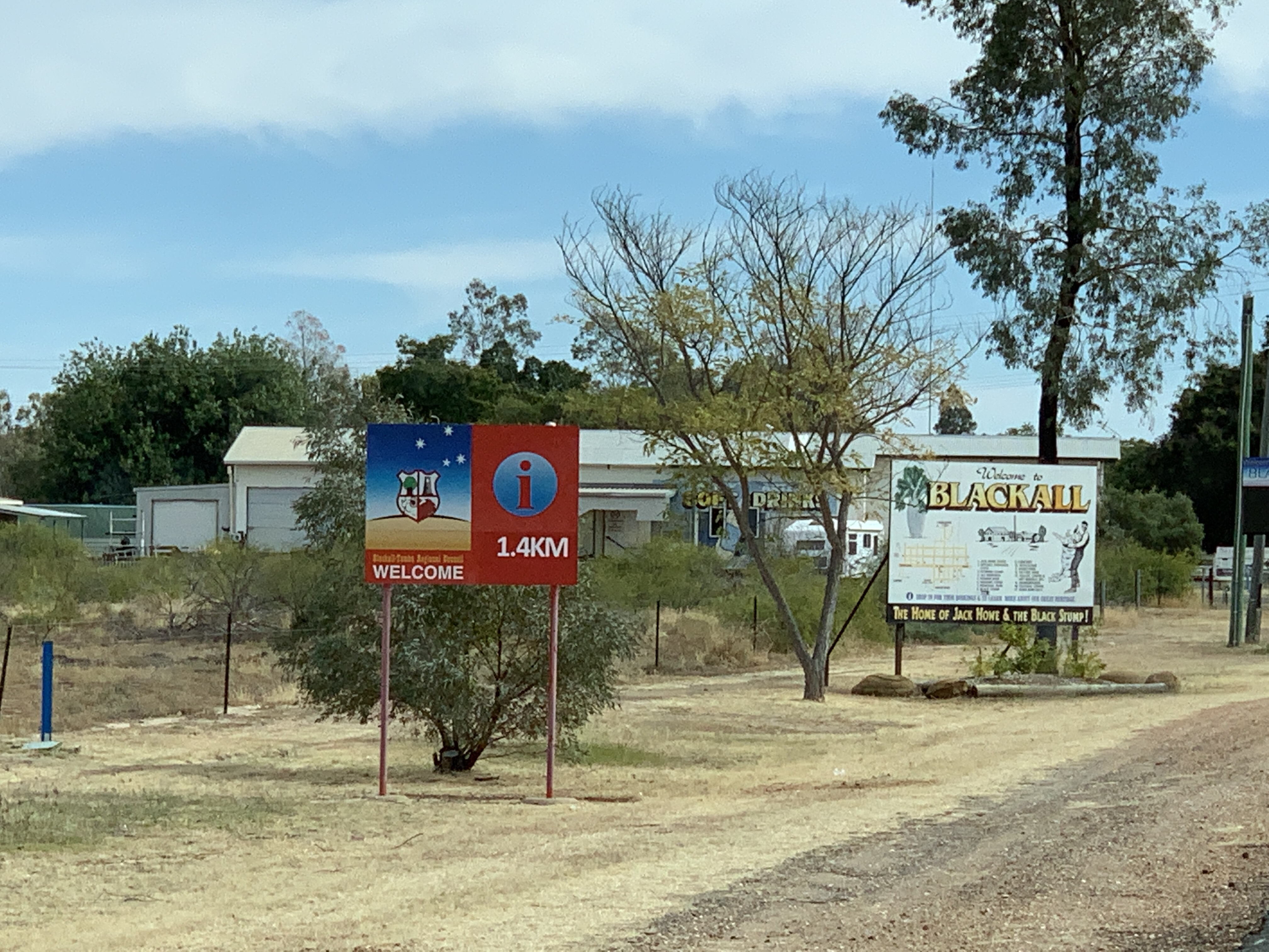
We arrived in Blackall around 11.30am and had to stop and take photos of their fabulous signs at the entry to the town. The town name is spelt out in very large single black letters on a background of images. The images include local people, buildings, local activities and flora and fauna of the area. They are fabulous!


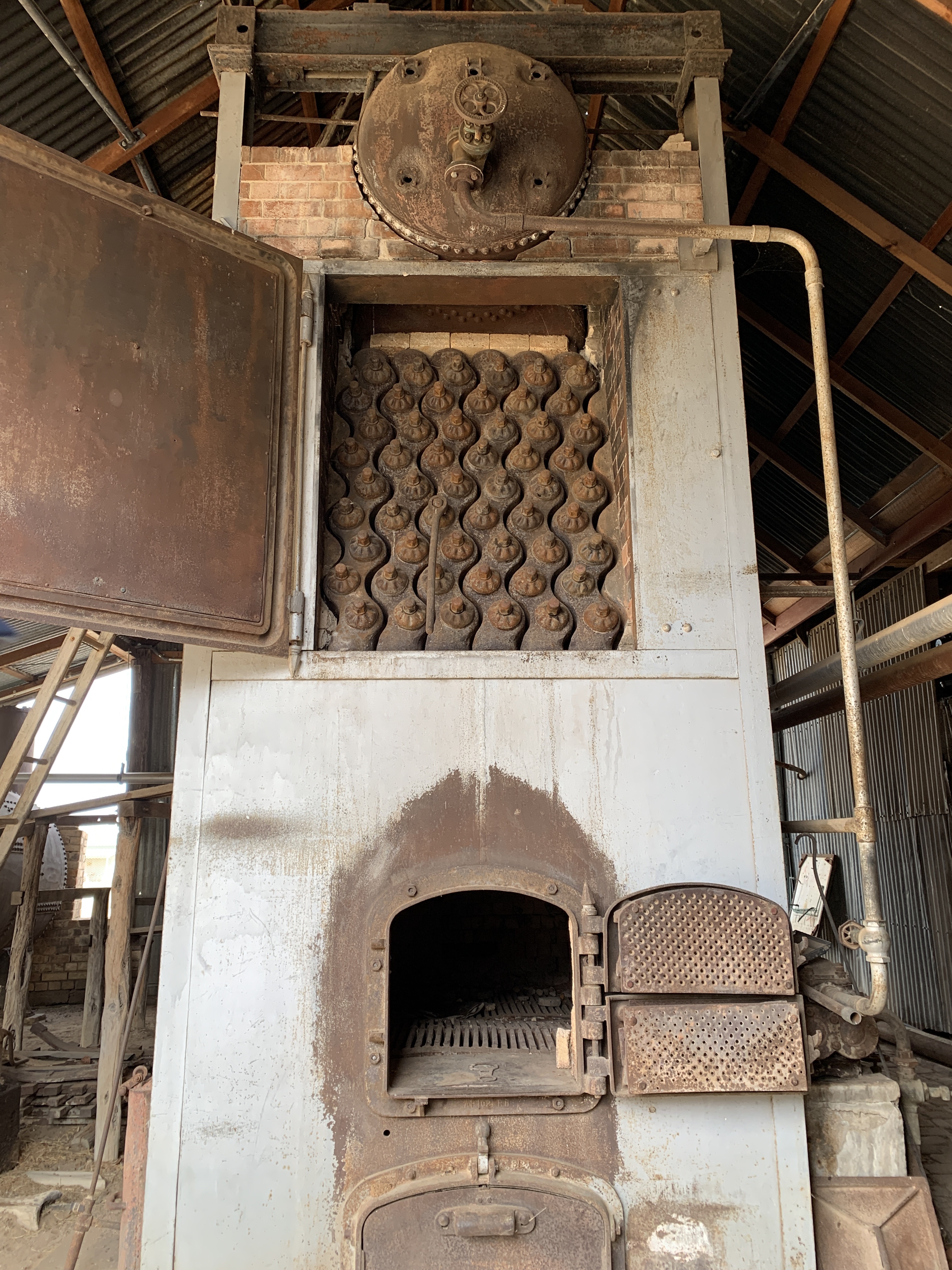
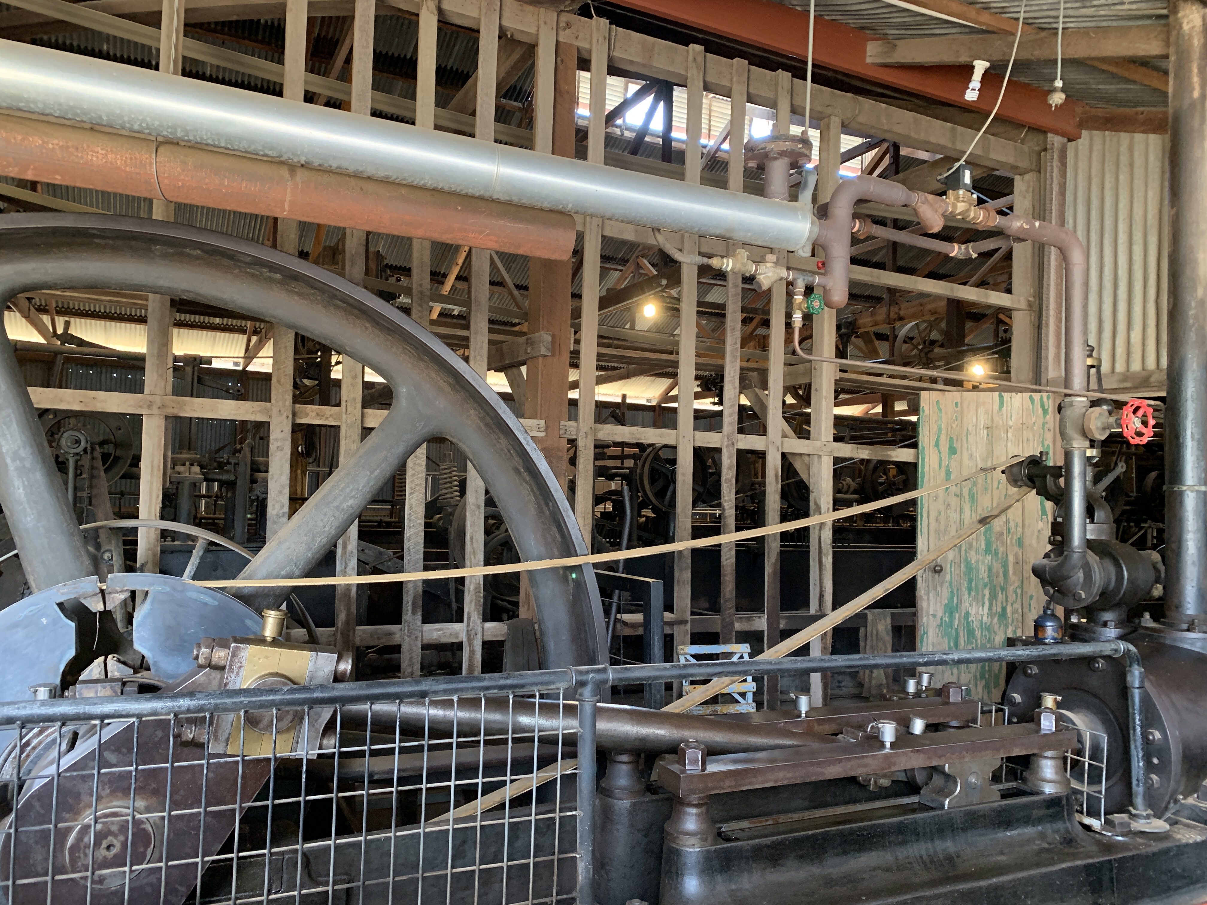
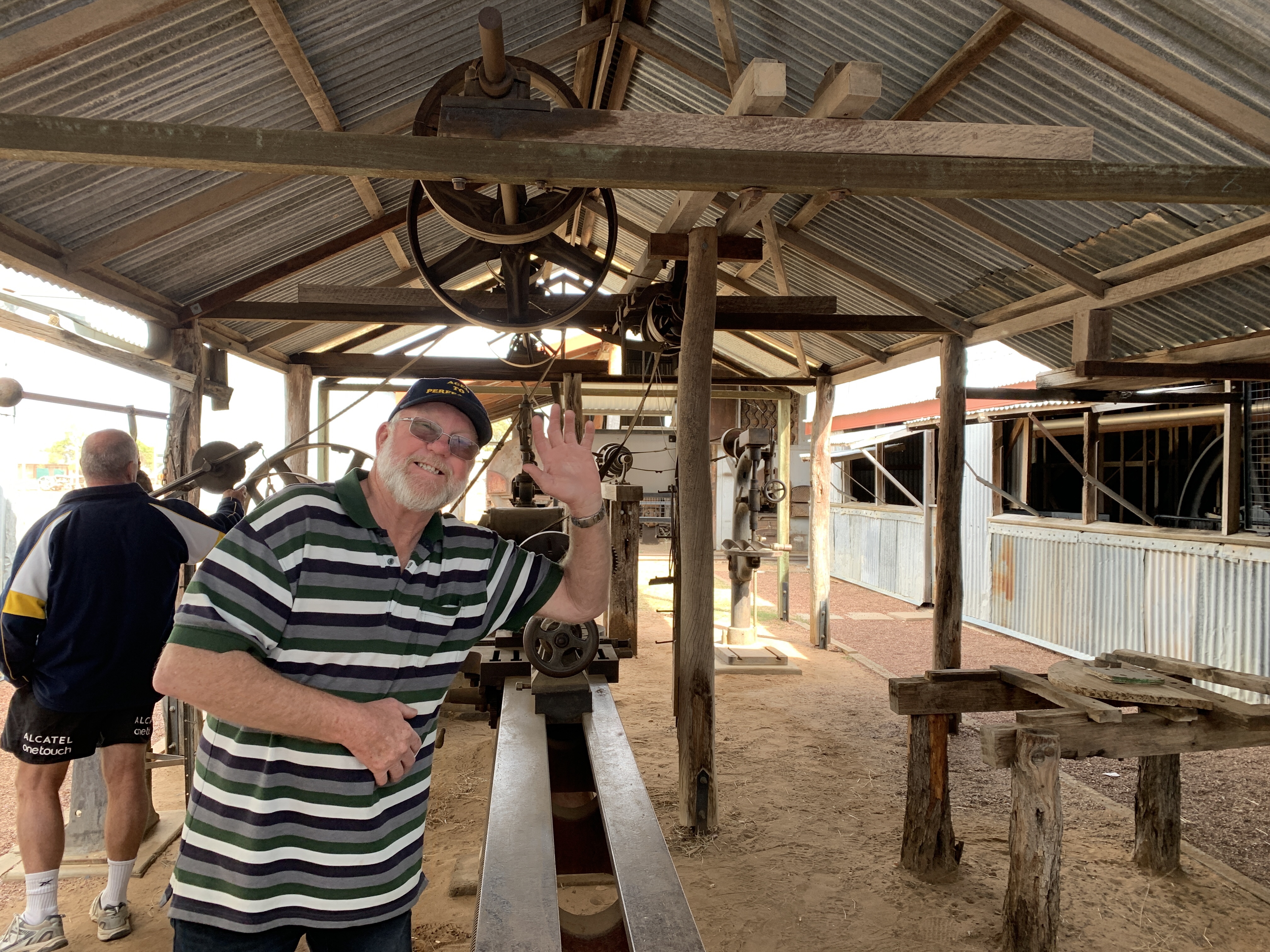
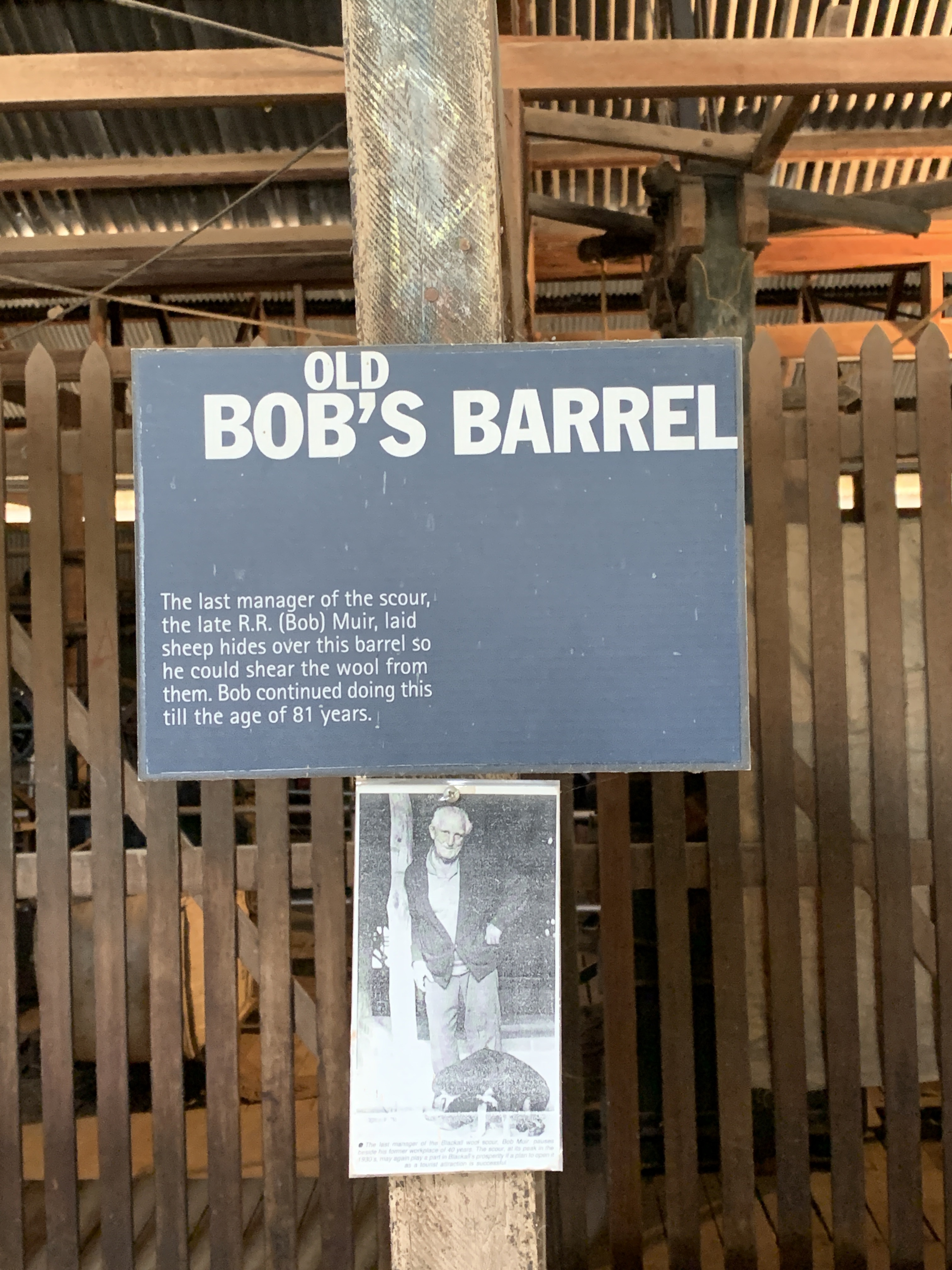
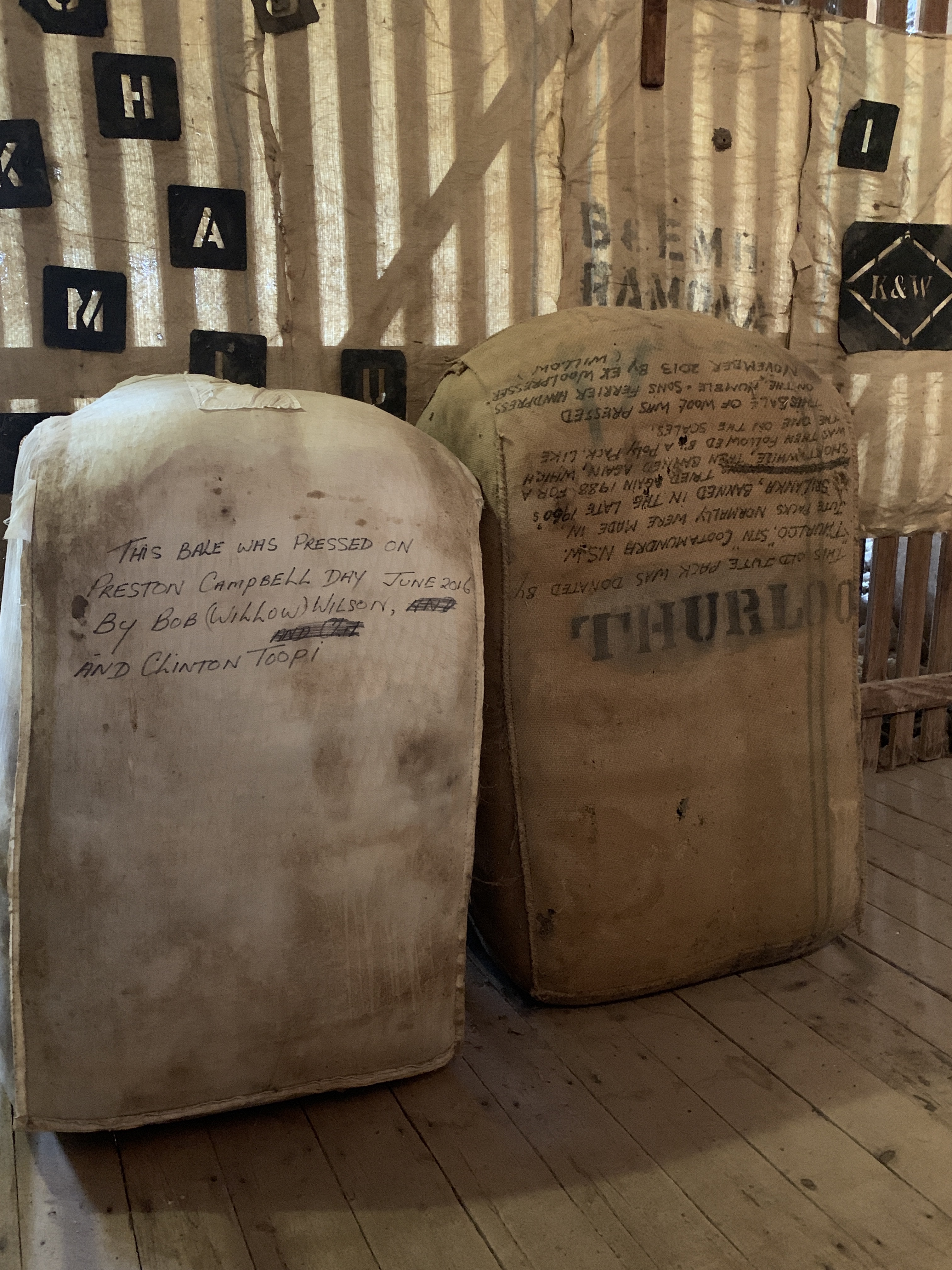
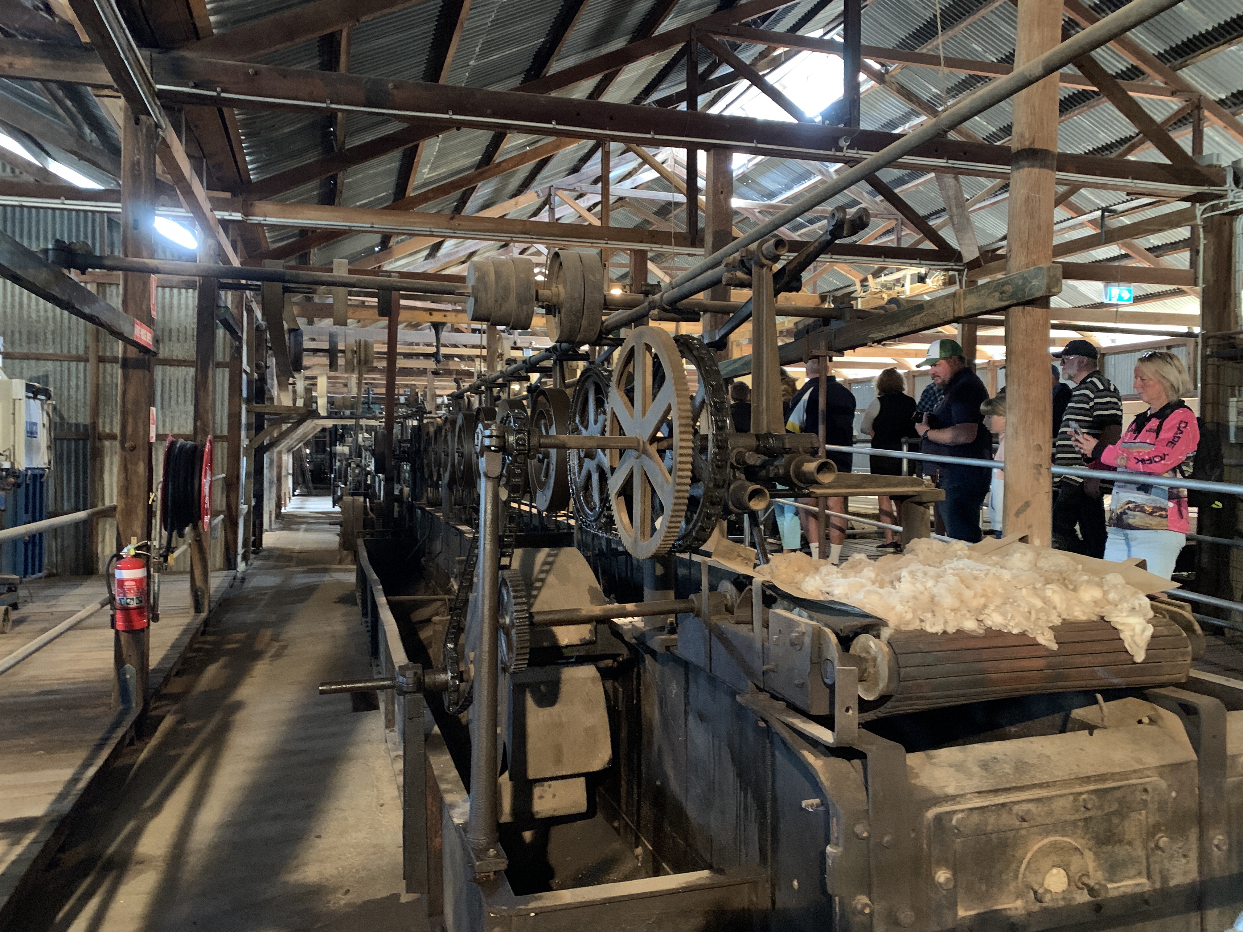
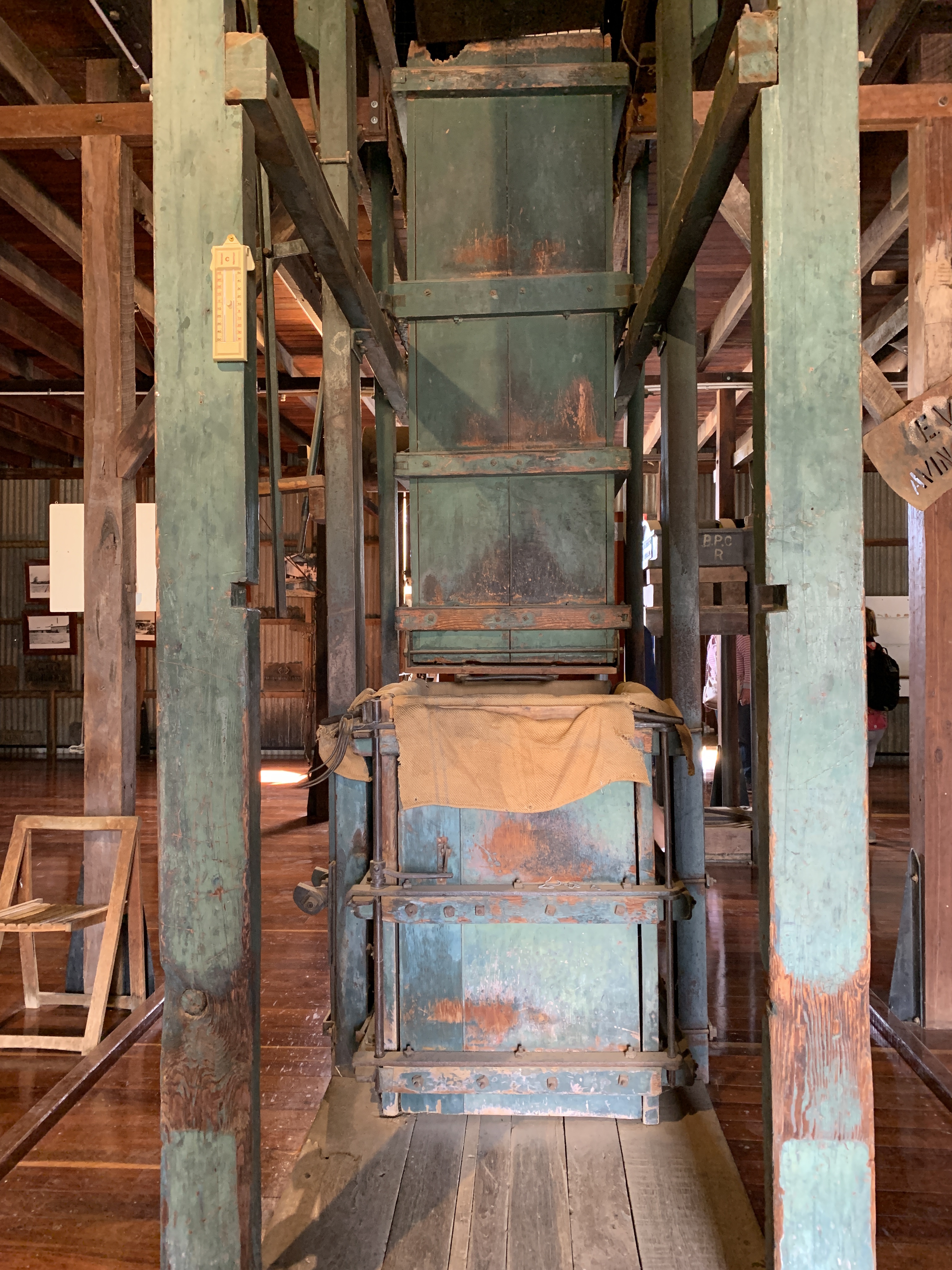
Our next stop was just out of town to visit the Historic Woolscour. We timed it just right to catch the tour which runs on the hour every day. The tour commences with a short video on the wool industry, how it began, developed, waned and what the industry is like today. It was a very informative 15 minute movie. Then the group moved outside to be taken on a tour of the actual Woolscour building. Our guide for the our tour was a man named Darryl Dash and we were fortunate to have Dashy as he left school at 13 on a Friday and the following Monday commenced work at the Woolscour. He knows the place inside out.


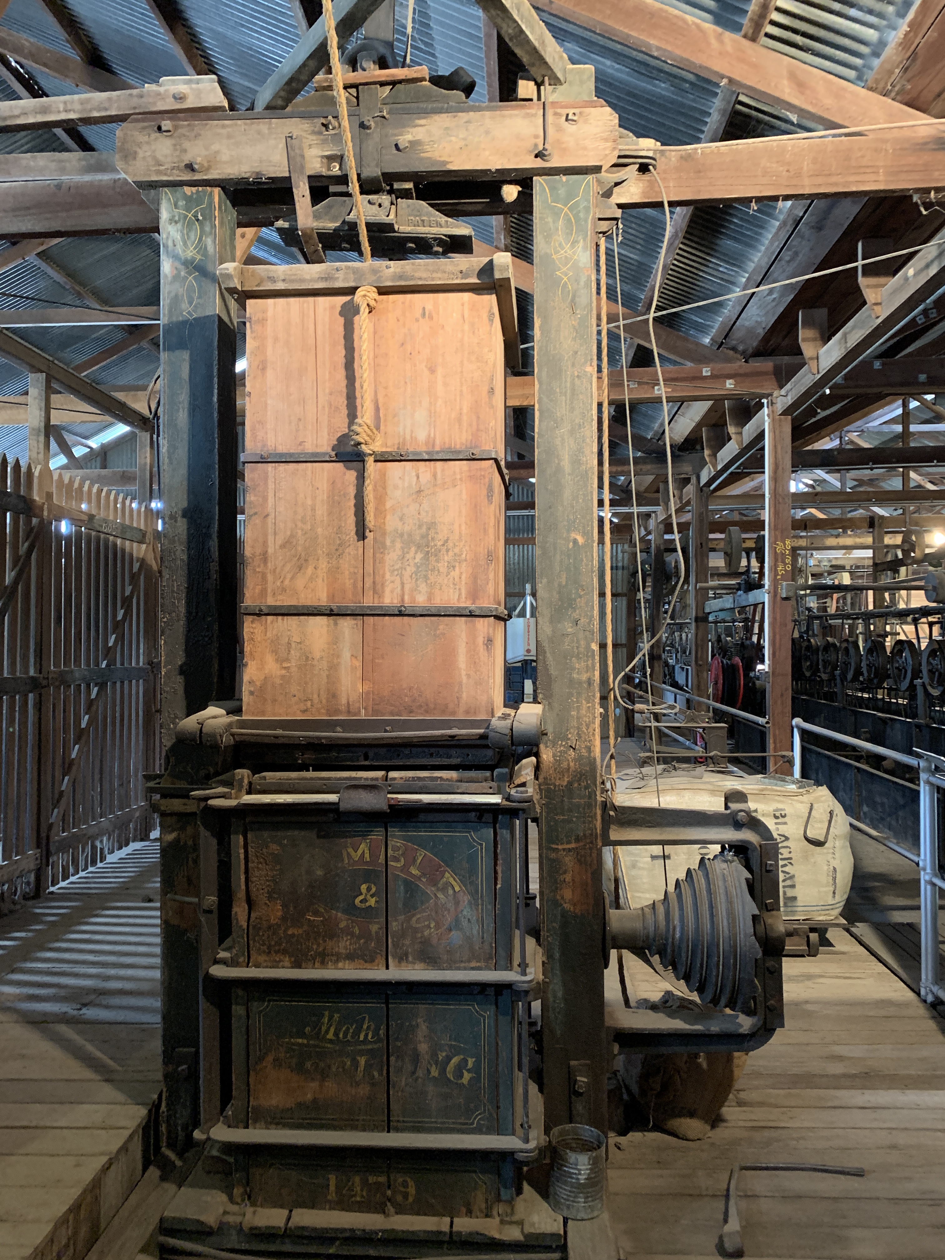


We drove the 4km back into town and visited the statue of the famous Jackie Howe, gun shearer. Jackie is famous for blade shearing 321 sheep in one 8 hour day in 1892 at ‘Alice Downs’. Jackie retired from shearing at 39 and became a publican of the Universal Hotel in Blackall. A replica of the Universal Hotel is now the Visitors Centre. Jackie’s statue is out the front.


The township has a low cost campground on the banks of the Barcoo and when we stopped for a lunch break we were amazed at the number of campers. We counted at least 50 RV’s of all types set up and it was only lunchtime. More would arrive in the afternoon. To camp at this spot you purchase a permit at the Visitors Centre and it costs $10 per vehicle per night.
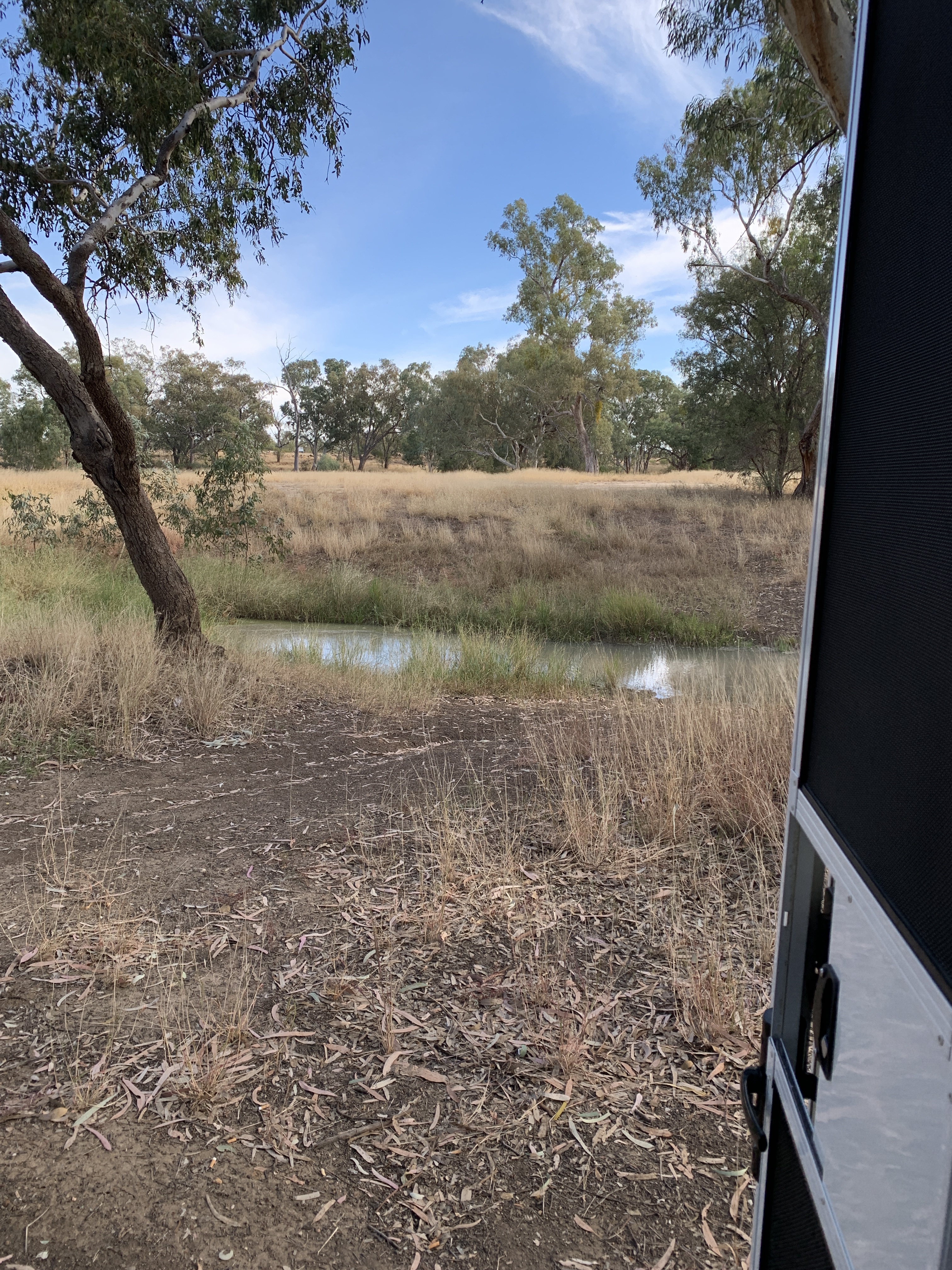

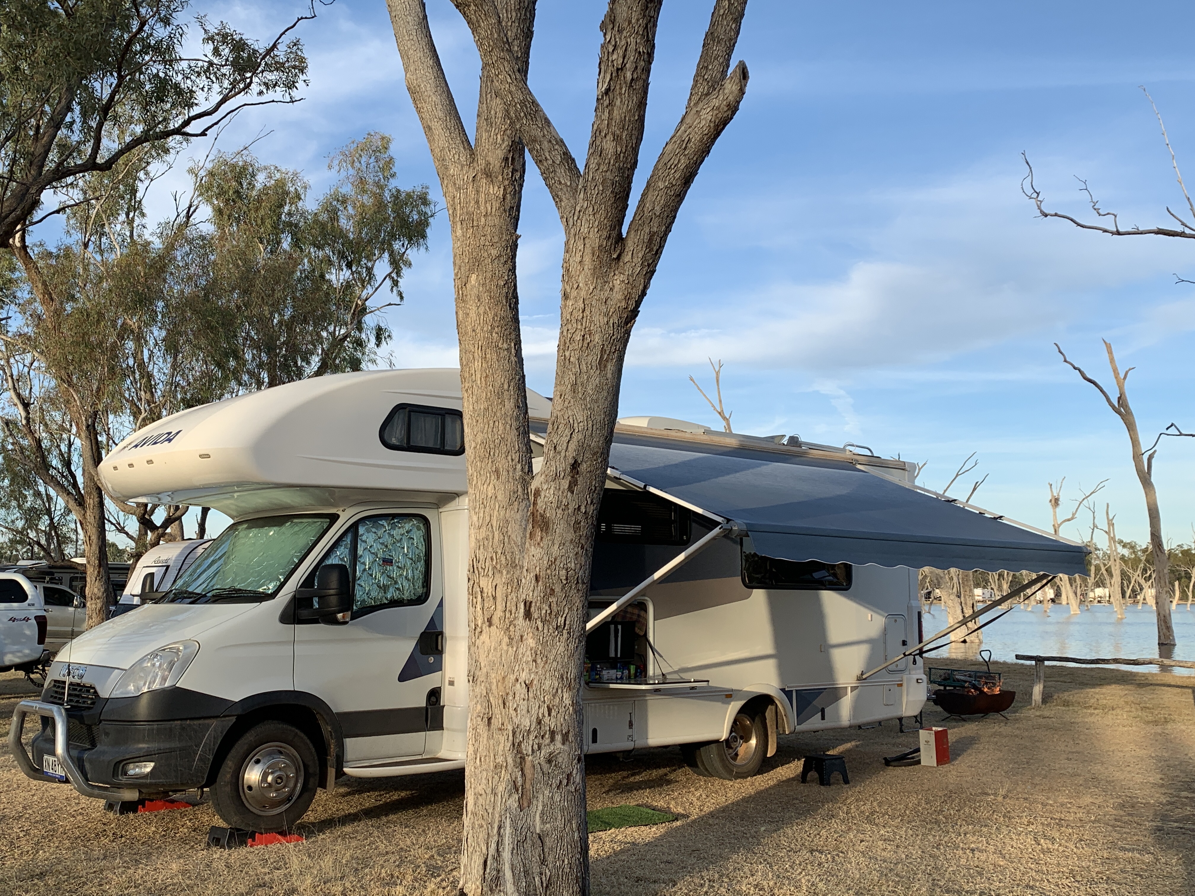
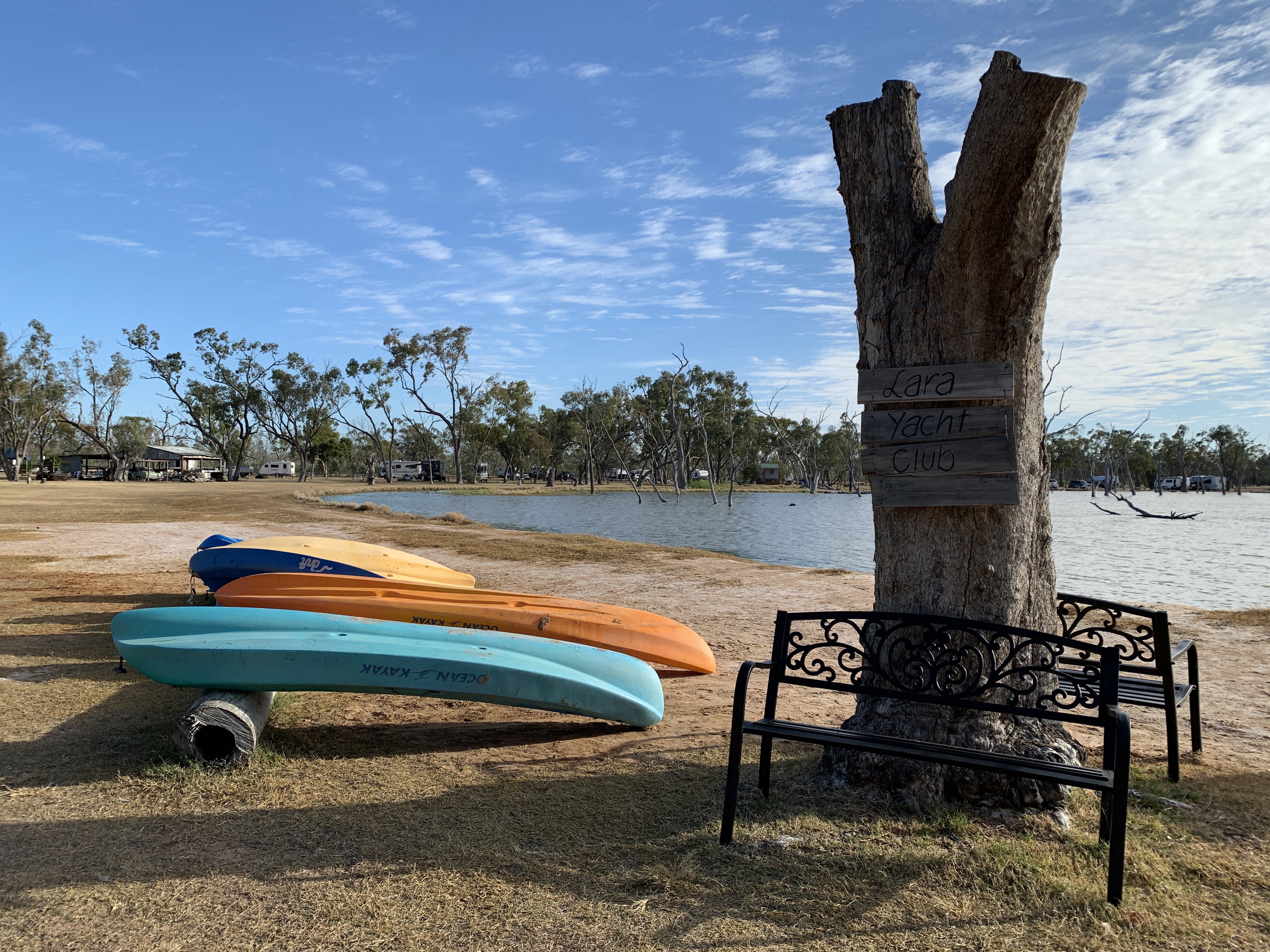
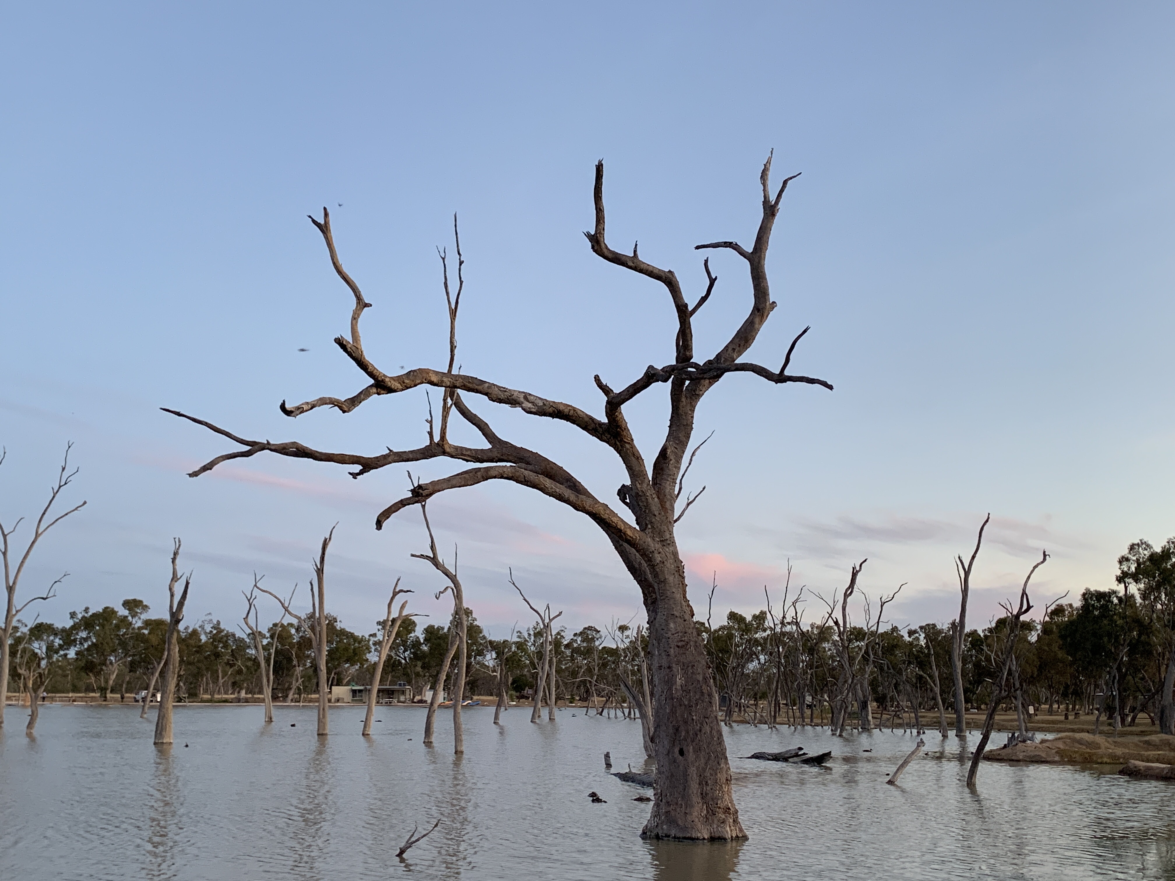
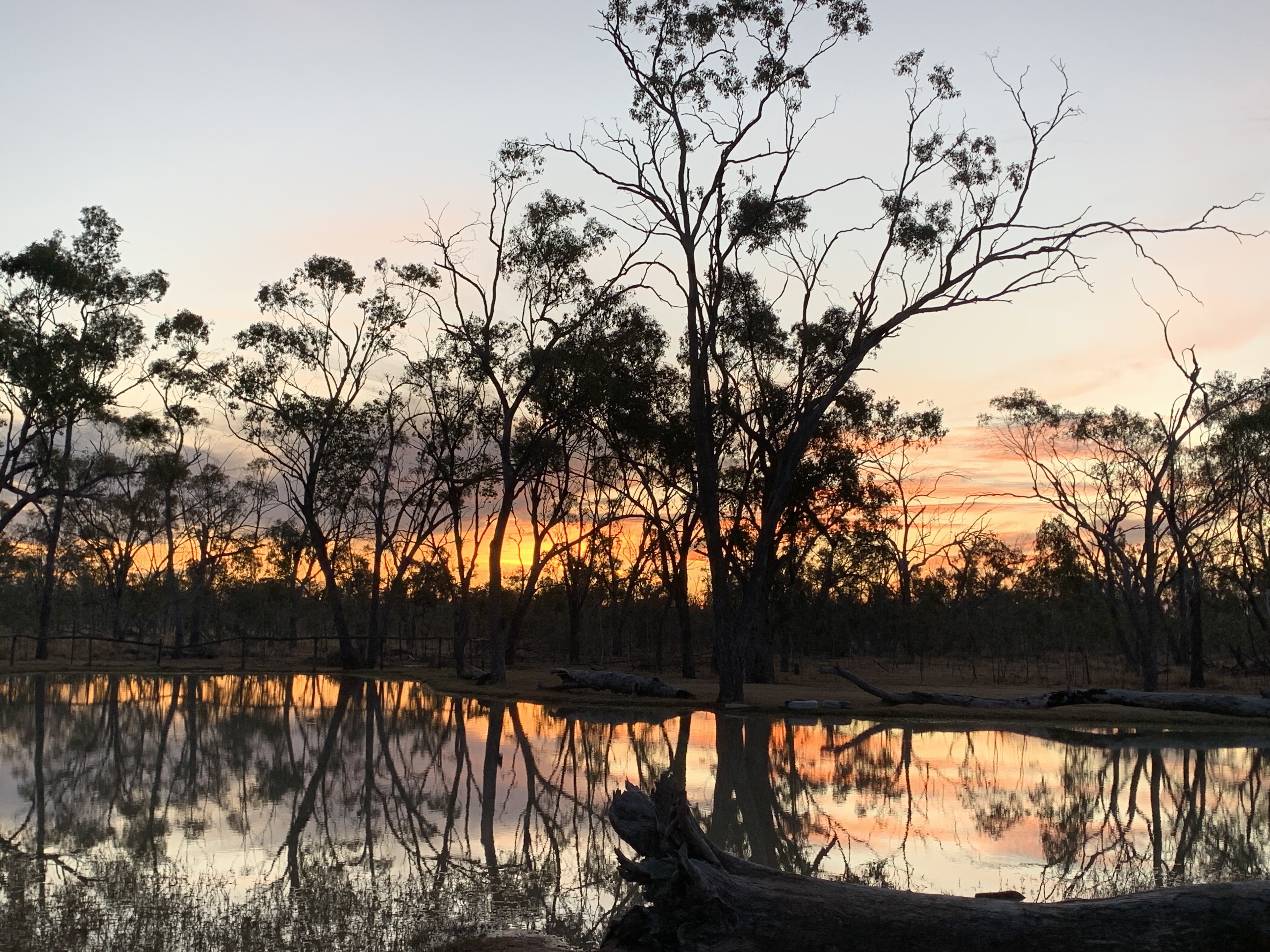
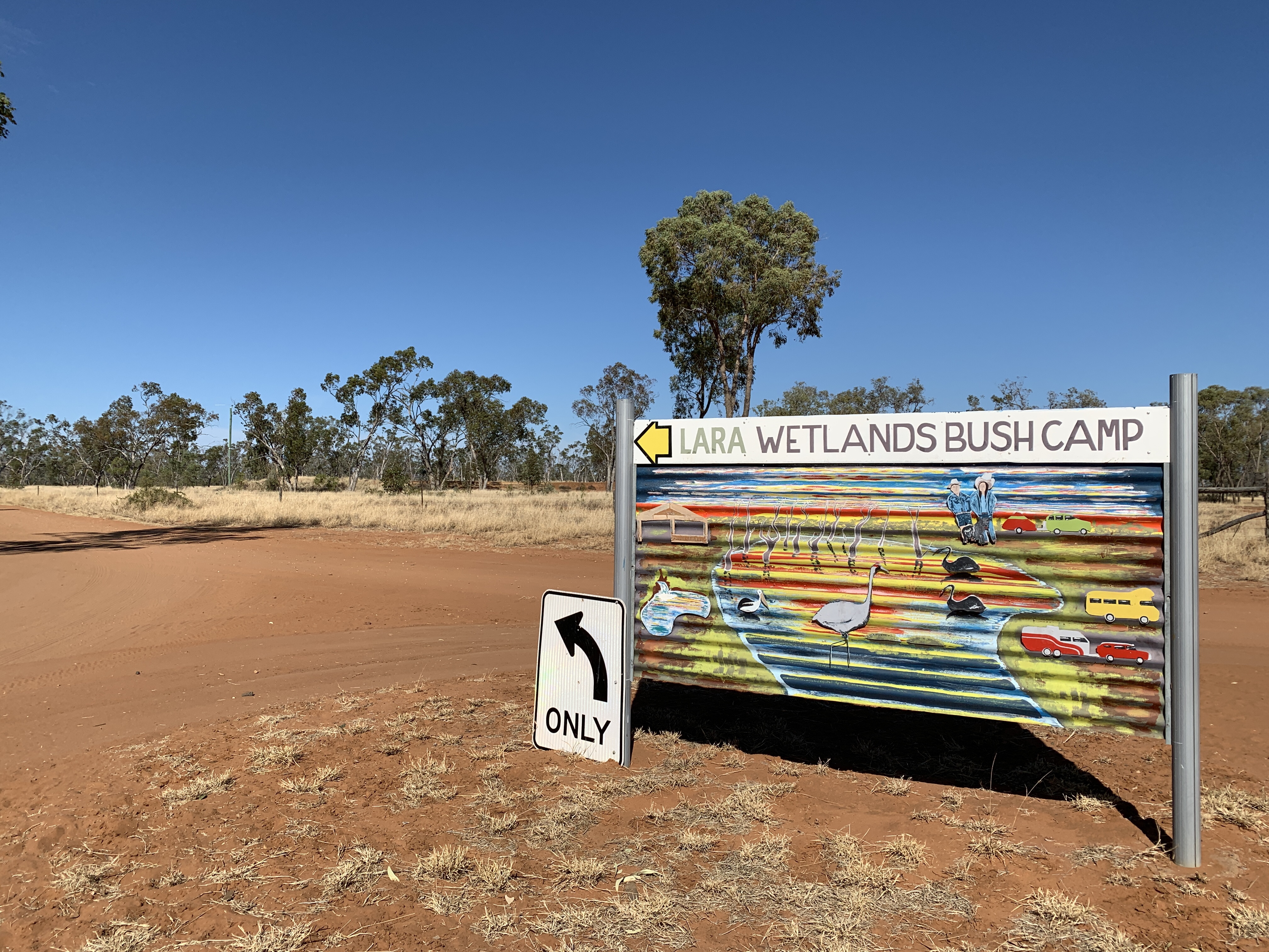
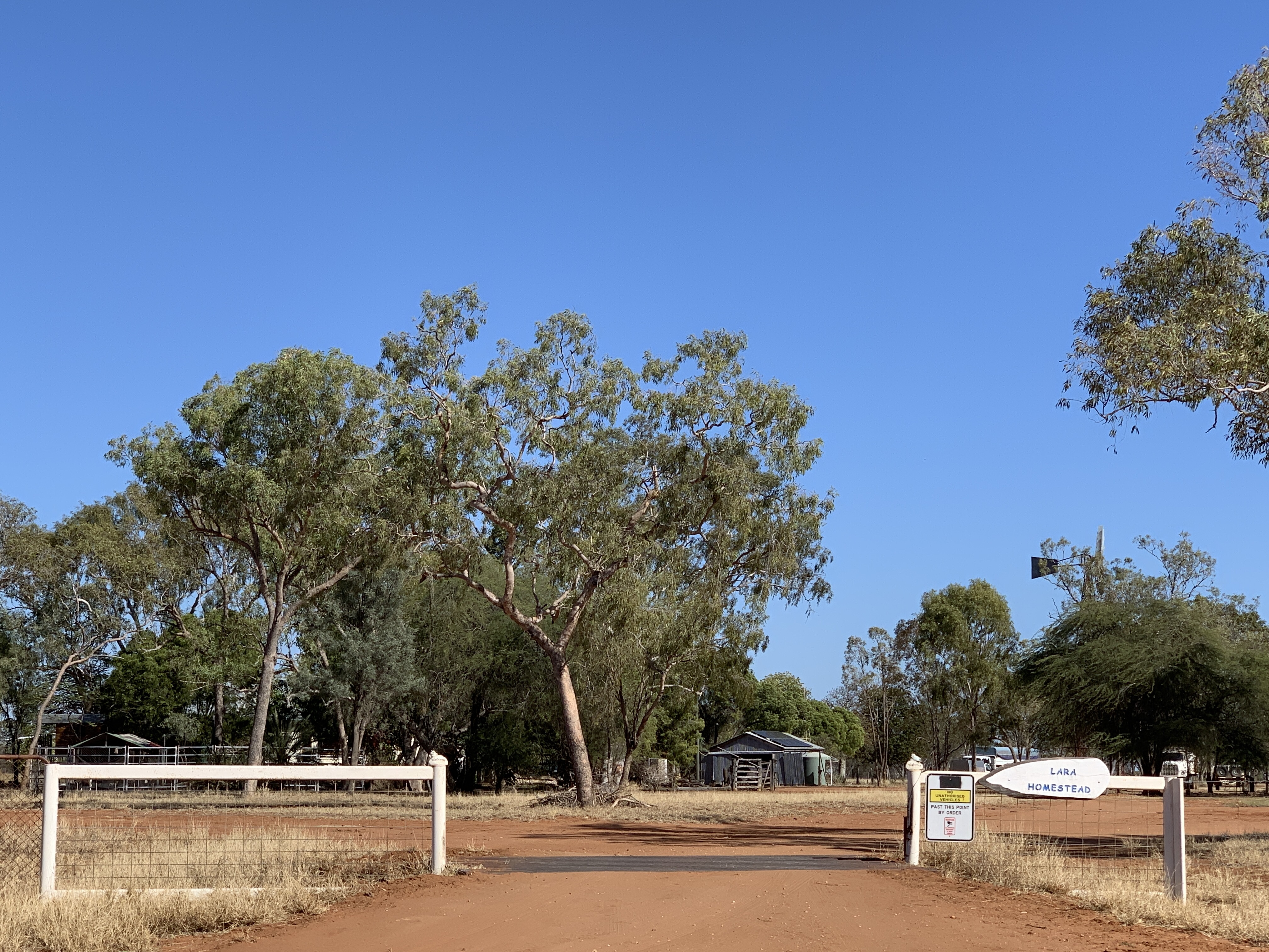
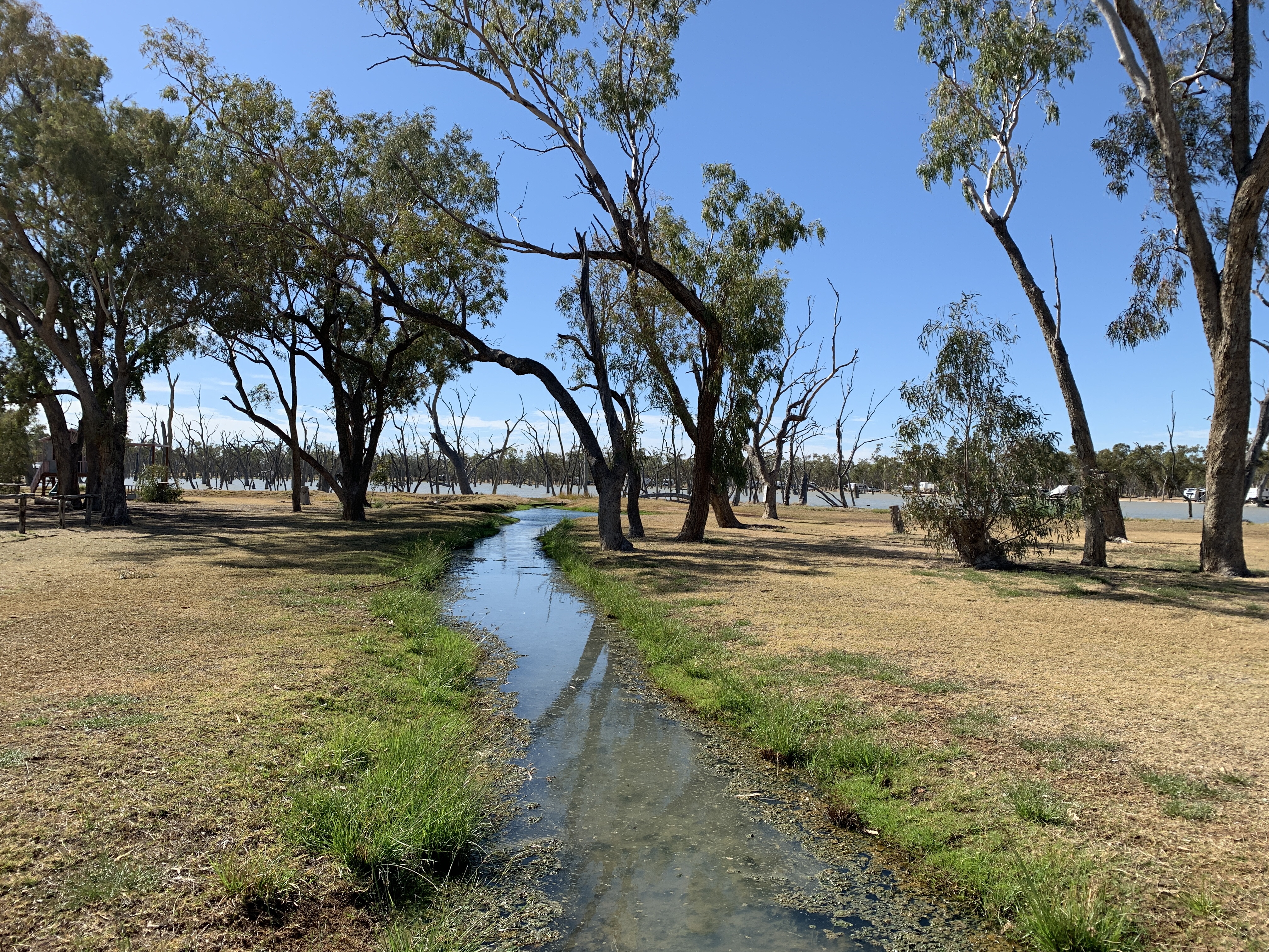
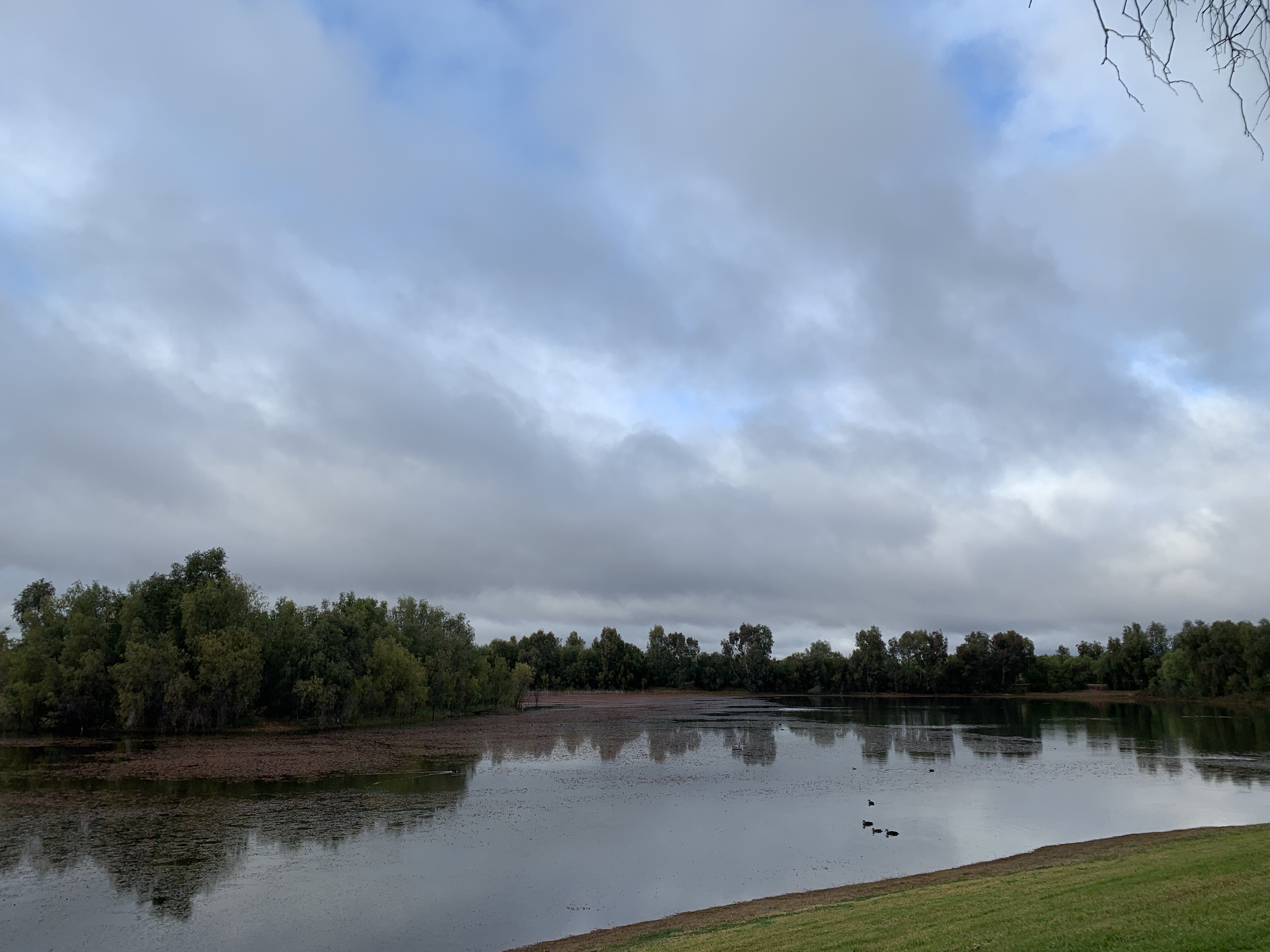
We left Blackall and continued heading northwards for another 78km and then turned off towards Lara Wetlands Campground. The road in to Lara is a dirt one and it was quite corrugated in places. It’s only 13km but it took us 1/2 an hour to travel in to the main entrance. What a surprise it is to arrive. To get there you travel through very dry red sandy scrub and all of a sudden you are greeted by this large body of water teeming with bird life. It’s magic. The roughly circular wetlands has been landscaped in such a way that it all looks natural. The area was originally a natural depression so it didn’t take much imagination to enlarge it. There is an access road all around the wetlands and campsites all the way around as well.
We booked in for one night (although I suspect we’ll stay for two) and set off around the water to find a camp site. We managed to find a water side spot with a fire drum and quickly set up camp. We met the neighbours on either side of us and the four of them later joined us around the campfire.
Geoff and Chris on one side were from Lakes Entrance and they are on their way home after traveling to Darwin and back. Paul and Janine are on the other side and they are from the Sunshine Coast. They were all interested to hear we are going to the Big Red Bash and thought it sounded fun. We enjoyed a lovely convivial evening around the fire. Paul even shared his homemade vegetable pizza! It was delicious.
We’d booked in to do the Homestead Tour in the morning, then we planned to use the Thermal Pool and I was hoping to get my kayak out for a paddle on the Wetlands. I really think we’ll be here two nights!


Wyandra to Charleville
After another great night at our fabulous free camp on the banks of the Warrego River we woke to a glorious sunny day. That made for a nice change from the overcast mornings we’d had so far. Our plan for the day was to make it Charleville.
We set off heading north and the road after Wyandra was a two lane road but quite skinny and rough. Still plenty of room for trucks to pass though and we were able to drive at our limit of 100km/h. Now that we are Light Rigid our maximum speed is 100km/h.
Again we didn’t see much livestock apart from the usual goats and emus however we did see a couple of mobs of cattle on this stretch.
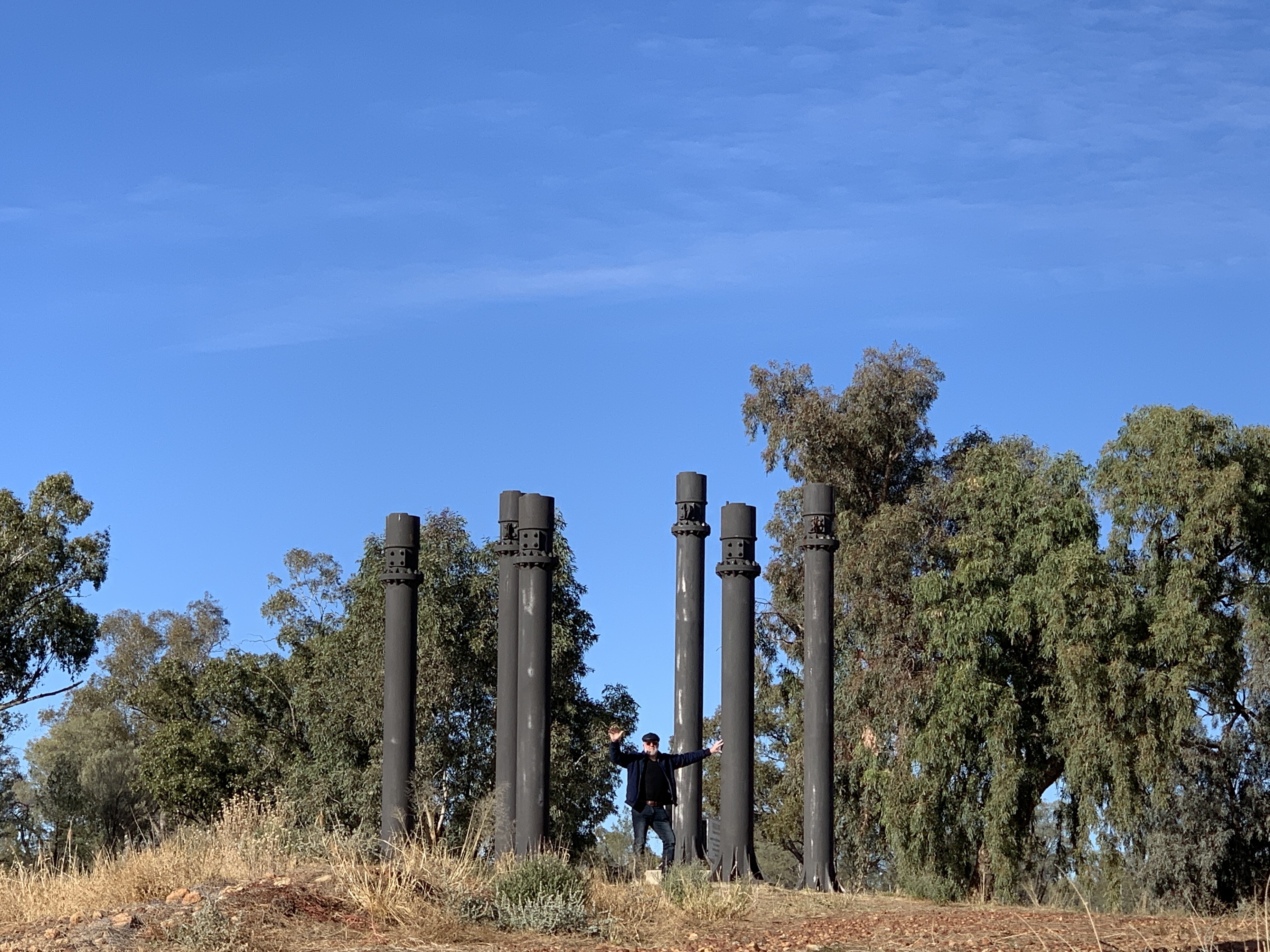
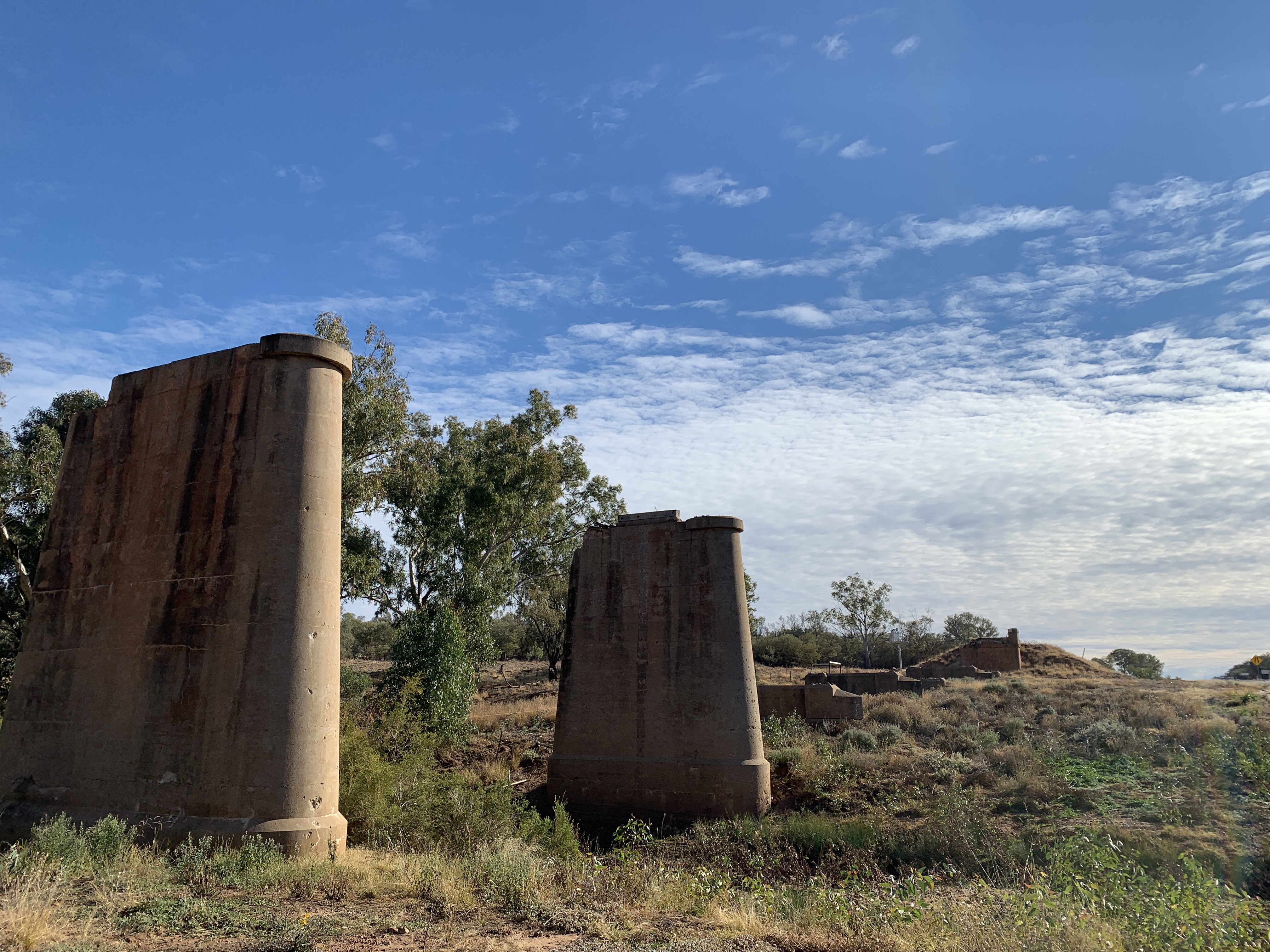
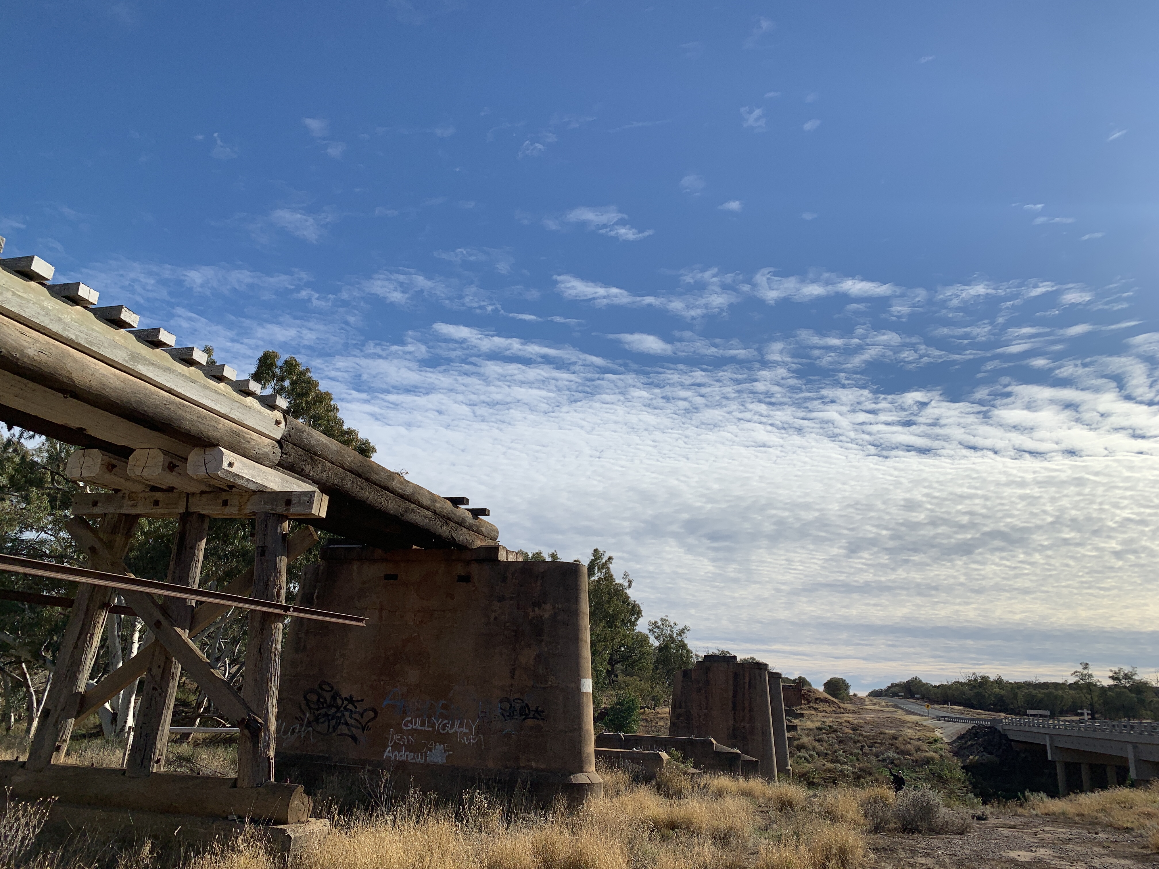
About 30km south of Charleville is the site of one of Australia’s most horrendous accidents at Angellala Bridge. Around 9.00pm on Friday 5 September 2014 a truck carrying 52.8 tonnes of ammonium nitrate crashed at the Angellala Bridge. The following explosion was measured on the Richter scale as a 2.1 seismic event. The explosion was so powerful that residents of Charleville 30km away thought there’d been an earthquake. Amazingly no lives were lost although the truck driver received burns to 35% of his body and others were injured. The railway bridge was completely destroyed and will probably never be rebuilt. On the side of the road there are signs and a pull over area for tourists to stop and read the story of the remarkable event.


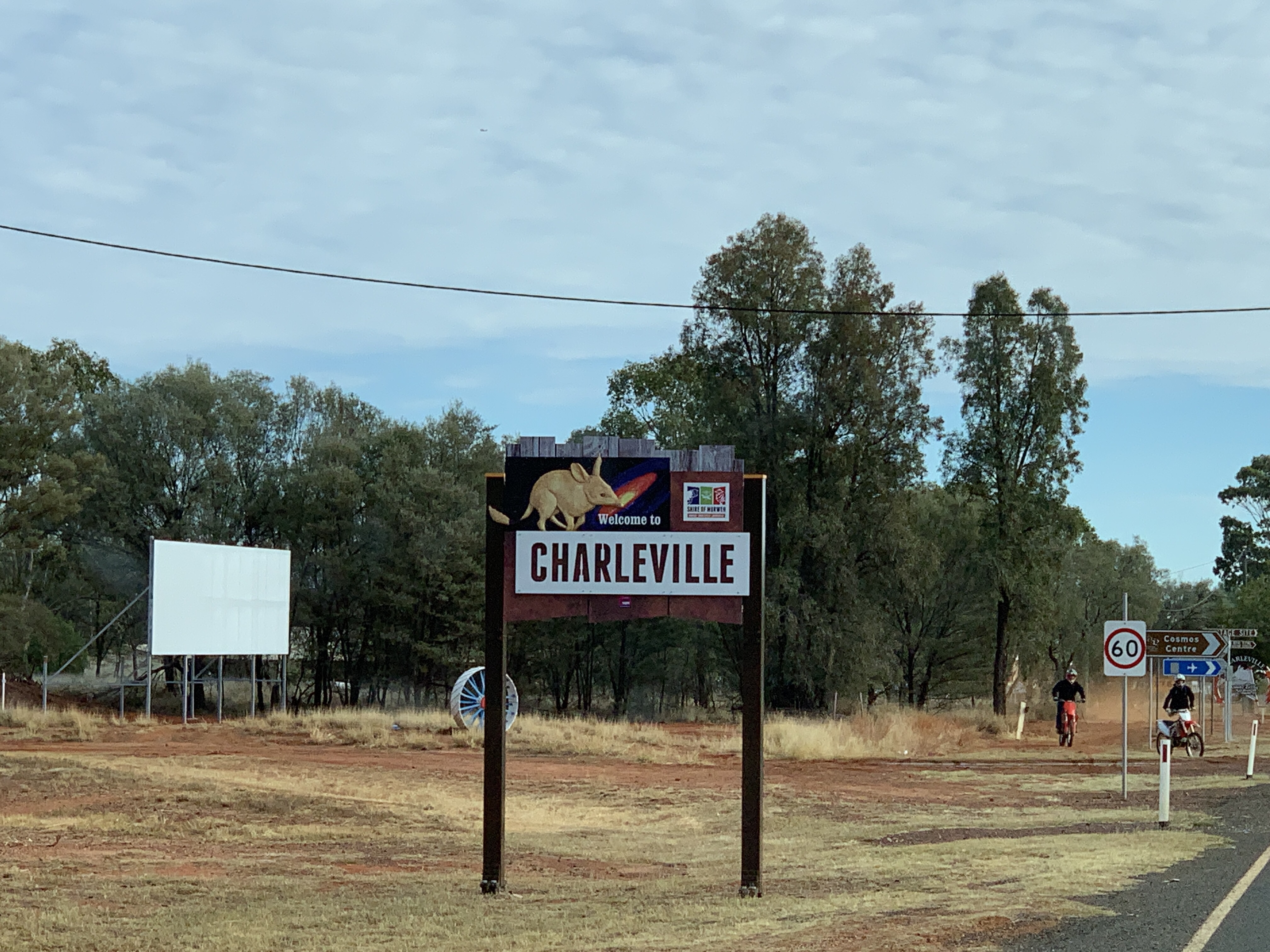
We arrived in Charleville and had a drive around the little town to orient ourselves. There is a CMCA RV Park just out of town so we drove out to check it out. It is a very large park, really just a bush camp but it has potable water, a dump point and a big rubbish bin. There is a communal area with central fire pit and free BBQ’s. This is where Happy Hour is held each night led by the current resident caretaker. It looked like a good spot to camp so we’d book online to stay there that night. It costs $3 per person per night for CMCA members. So a whopping $6 to camp the night.
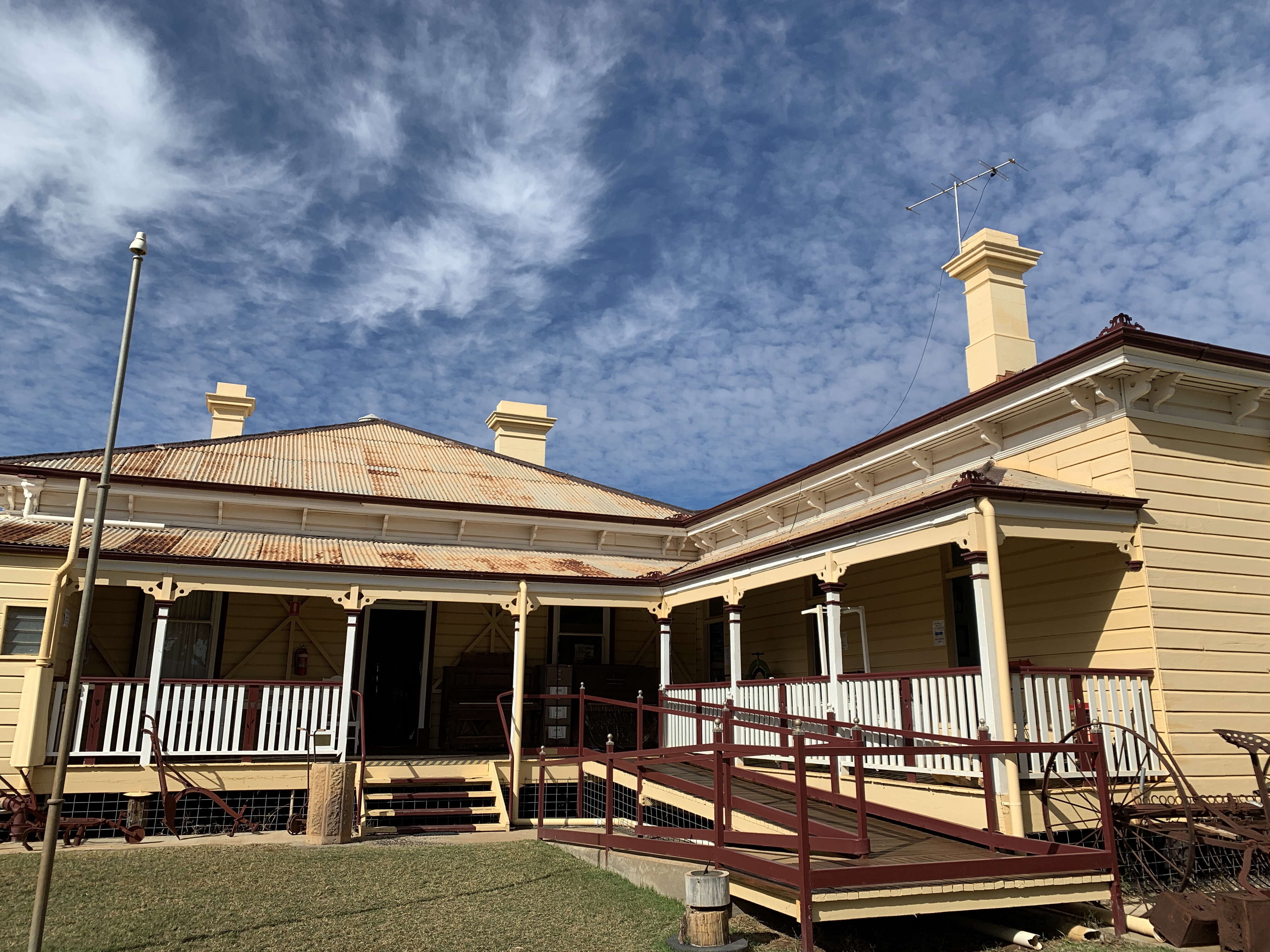
Back in town we drove around the town centre and I was surprised by the number of lovely Art Deco buildings especially the Court House. The Visitors Centre is housed in the Charleville Station and we visited and bought tickets for the afternoon tour at Hotel Corones. Unfortunately the Bilby Experience , where you get to see some actual Bilbys is booked out for the next few days so we won’t be able to do that. Likewise the Cosmos Centre Night Viewing so we won’t be doing that either. We have seen so many motorhomes, camper trailers and caravans on the road. Every second vehicle is a caravan. With so many visitors many of the tours and attractions are sold out and caravan parks are full. This is fabulous for these small communities.
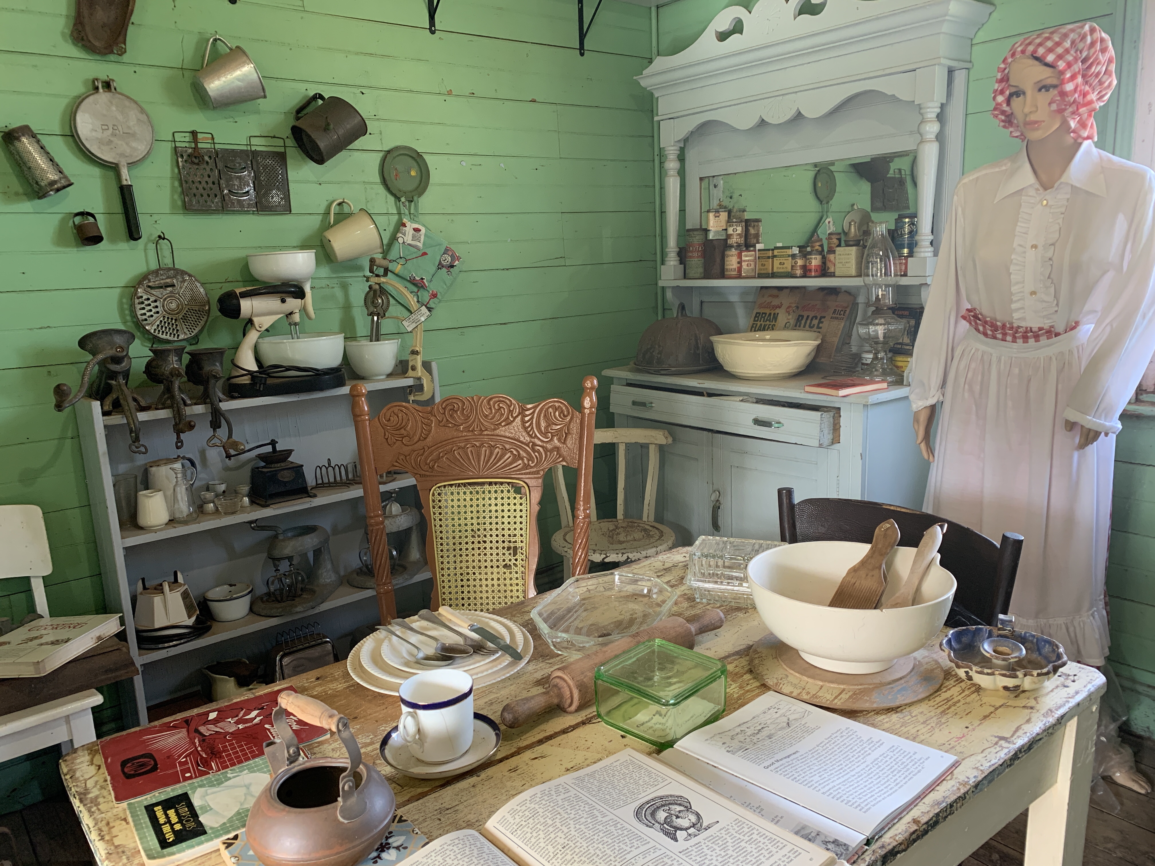
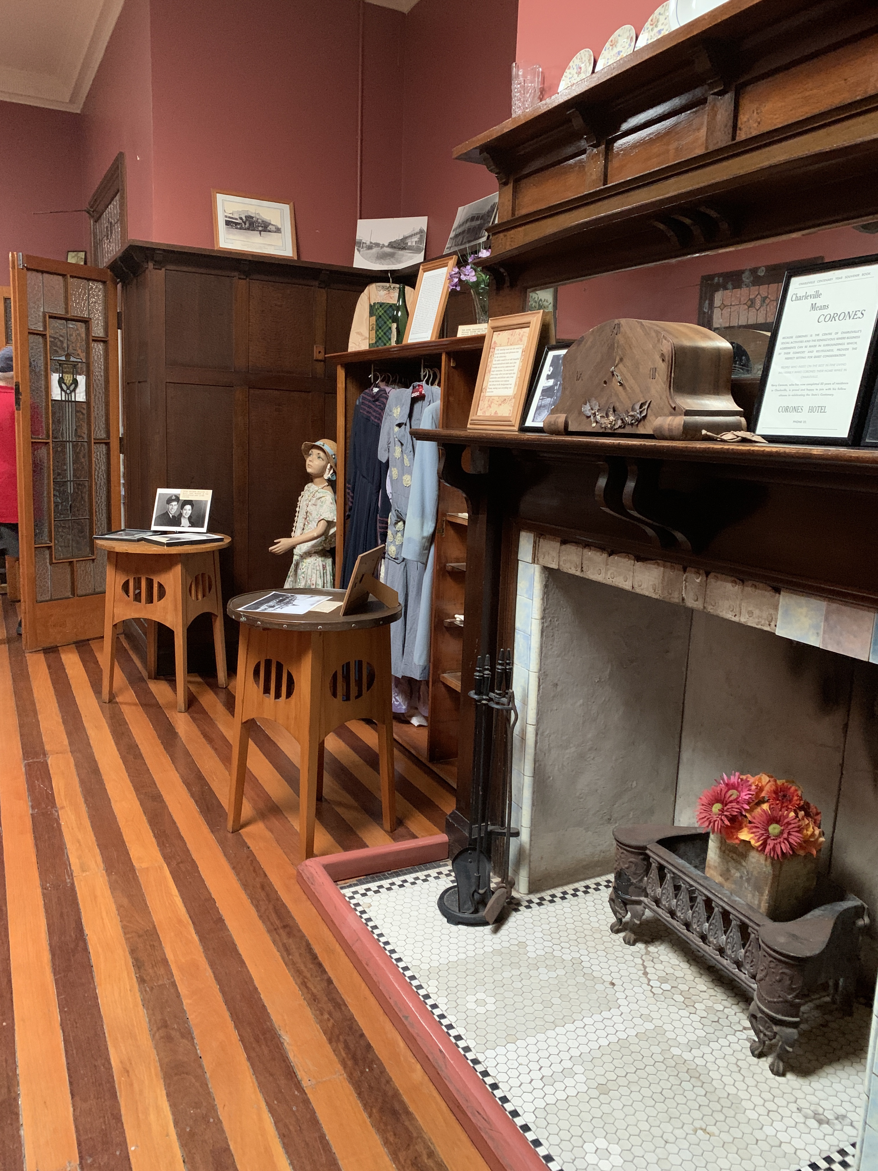
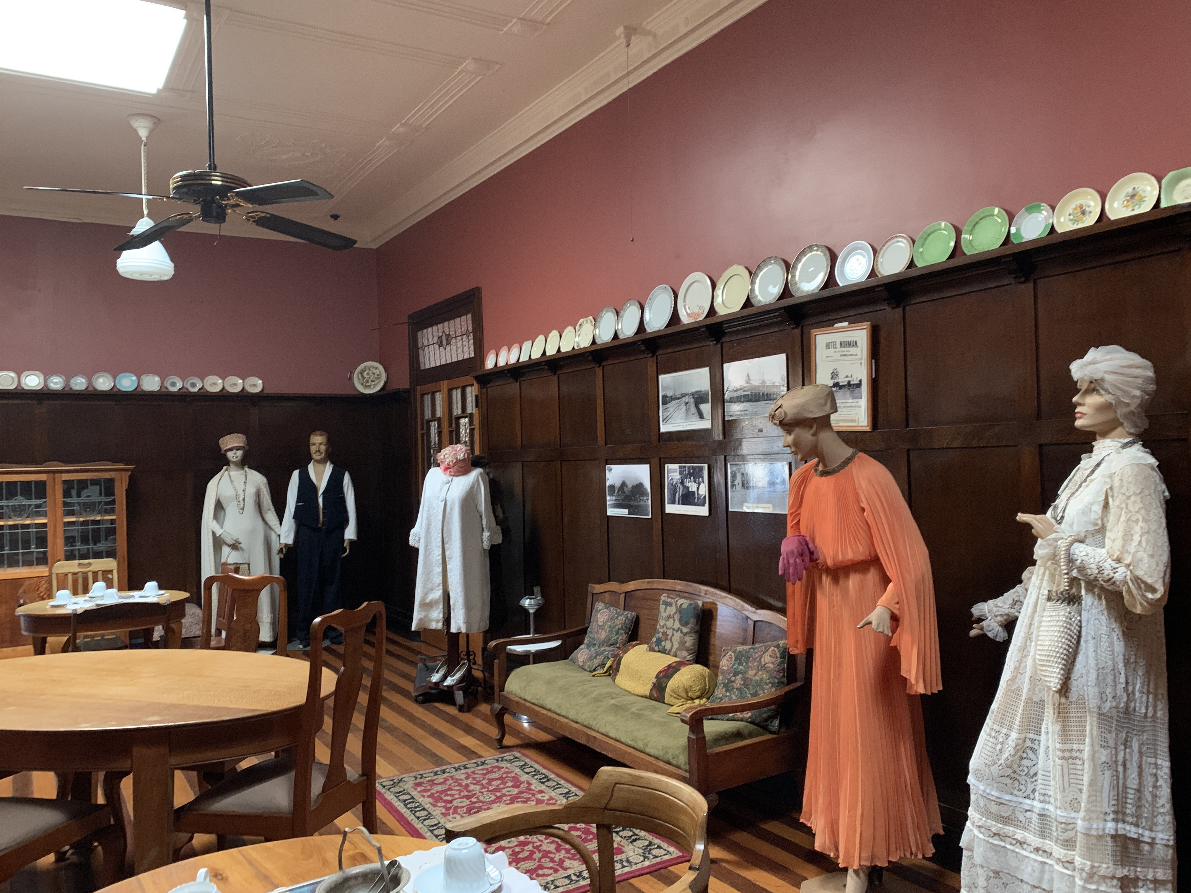
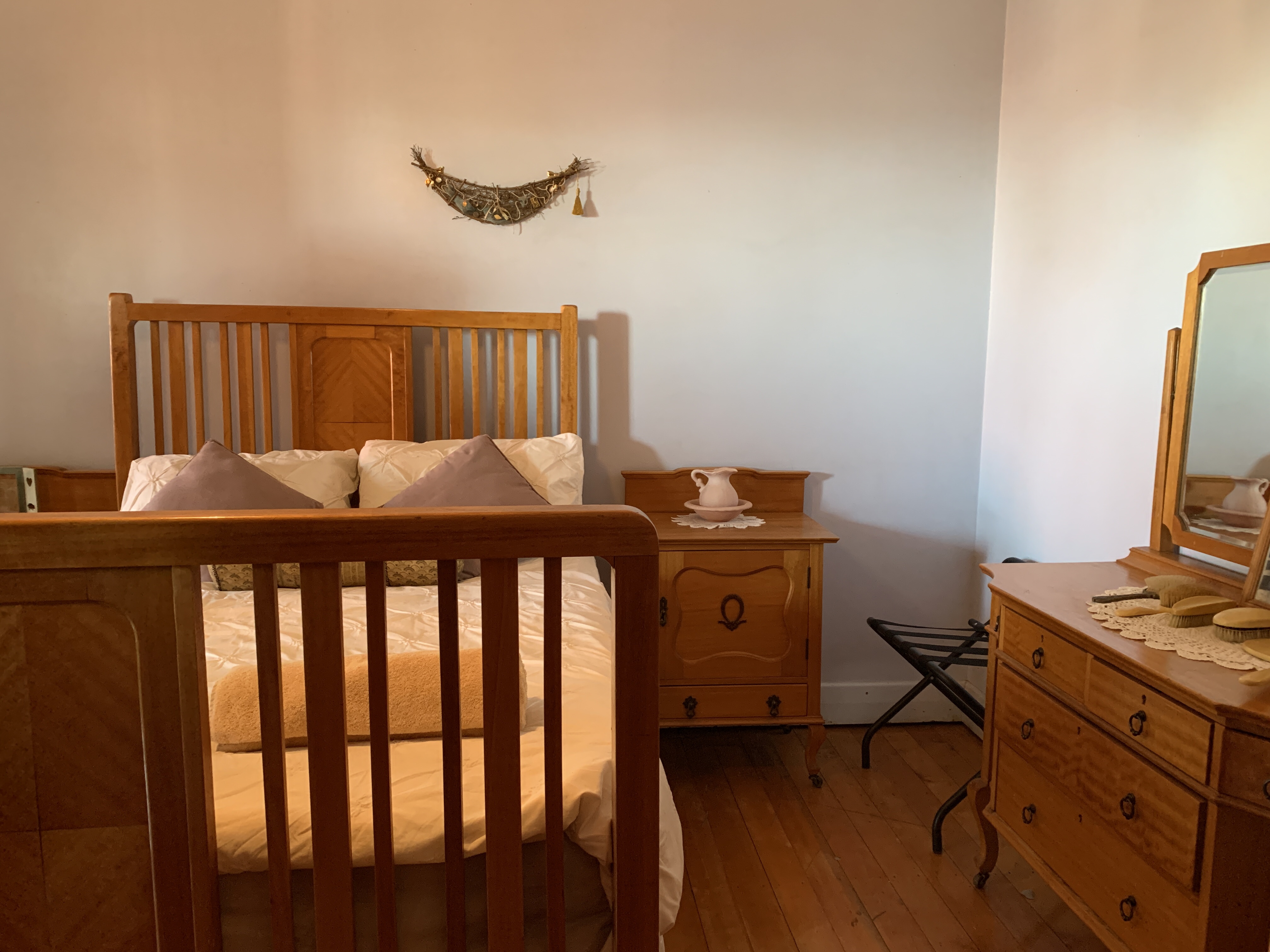
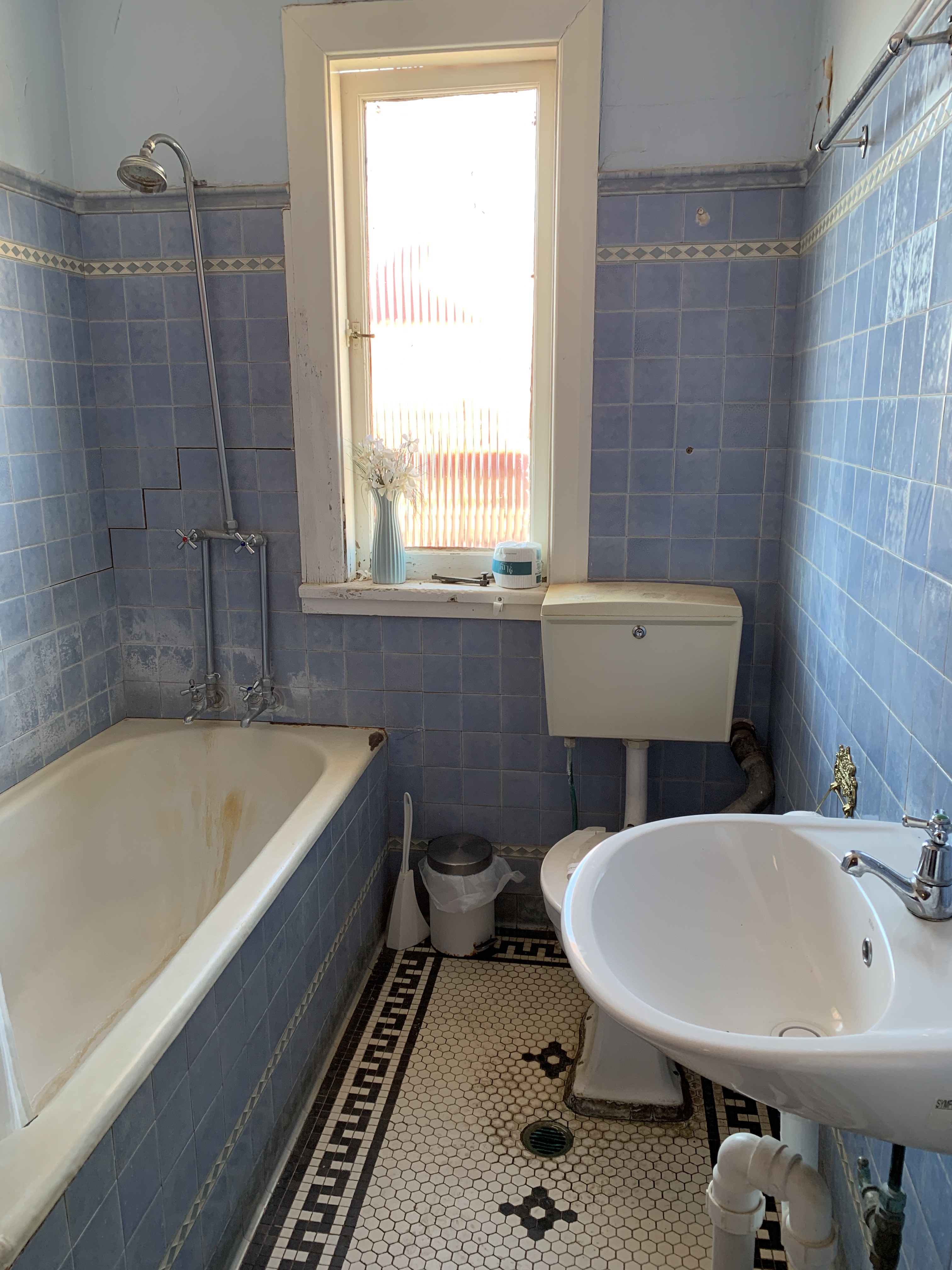
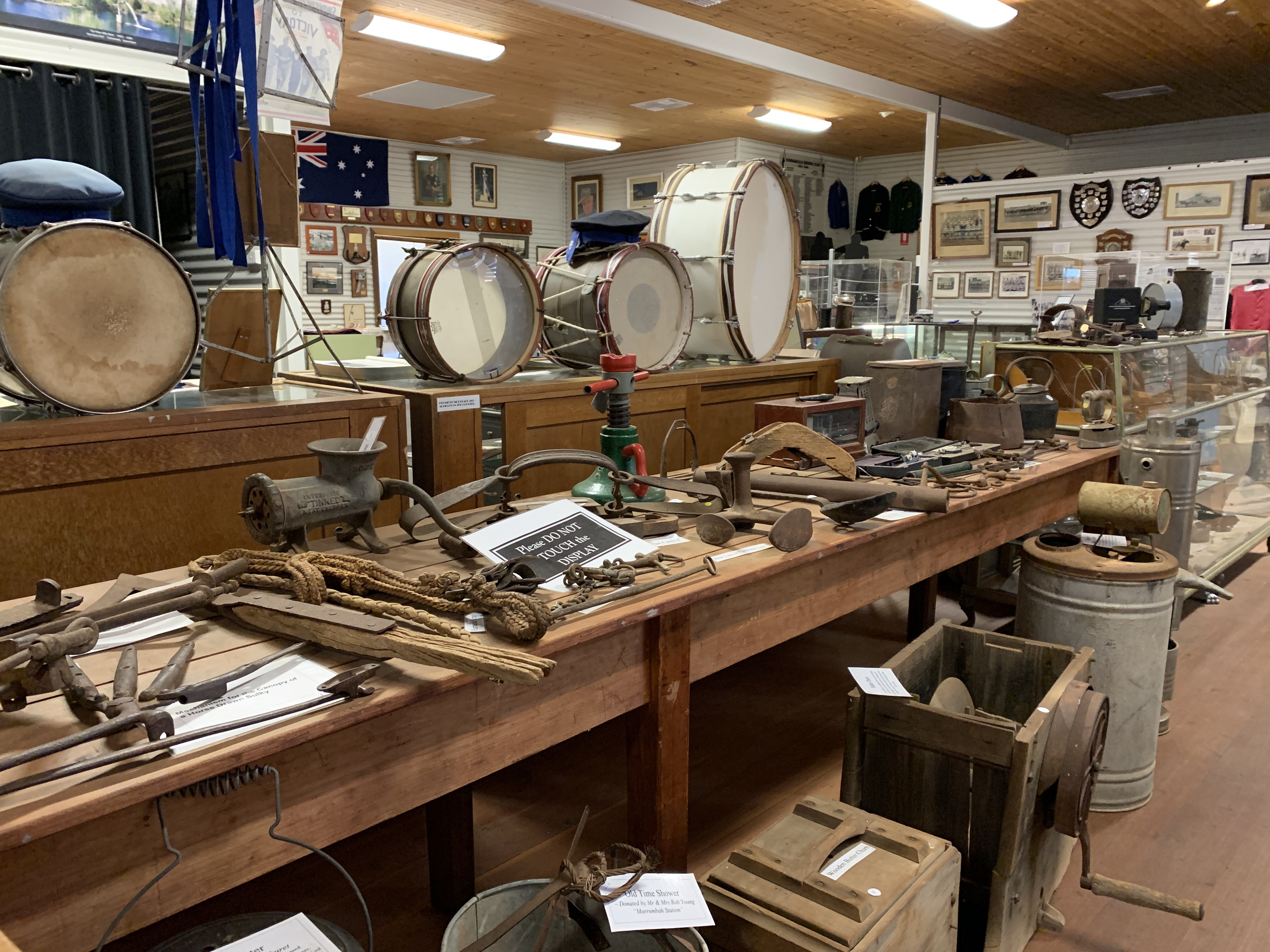
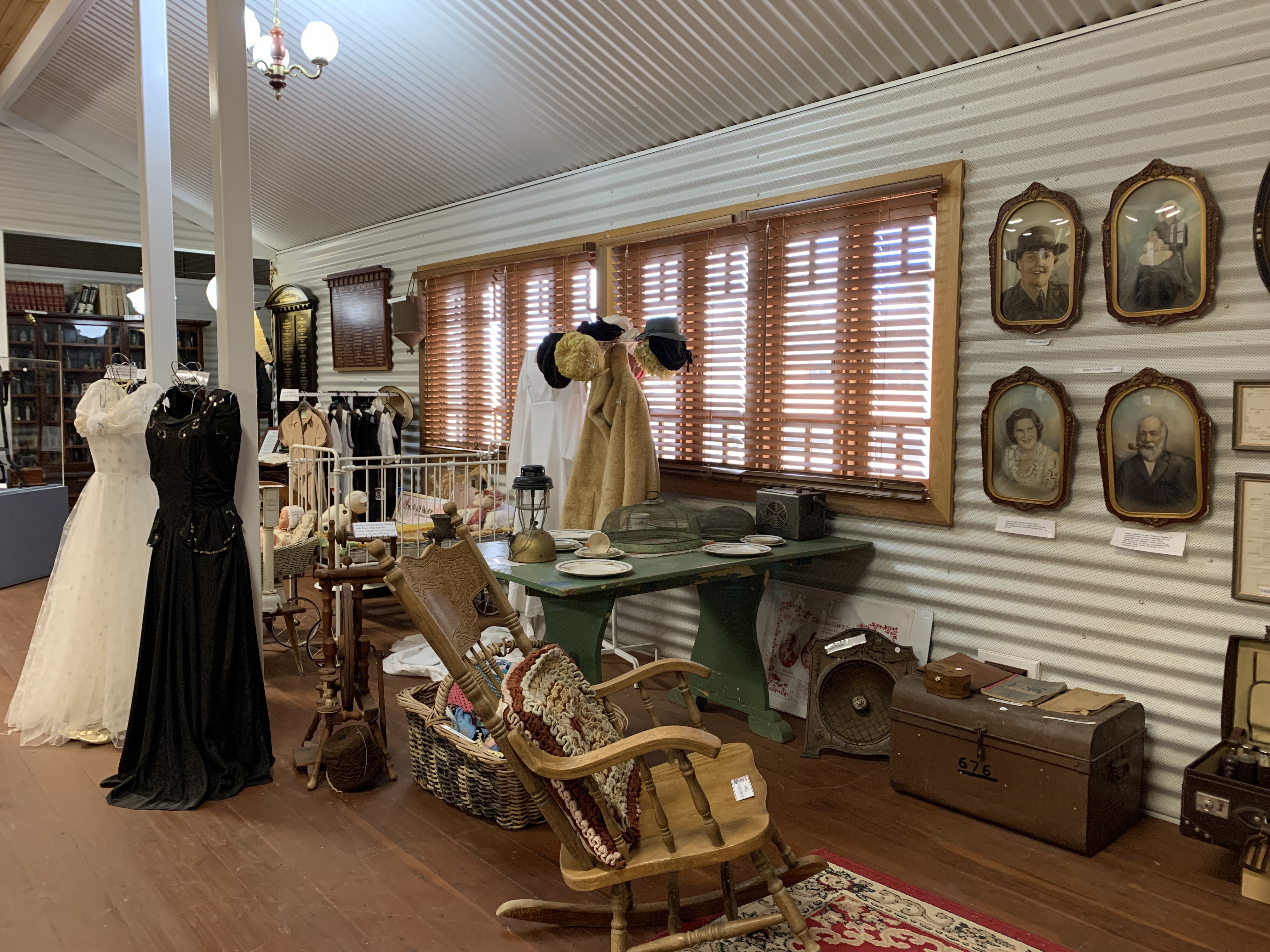
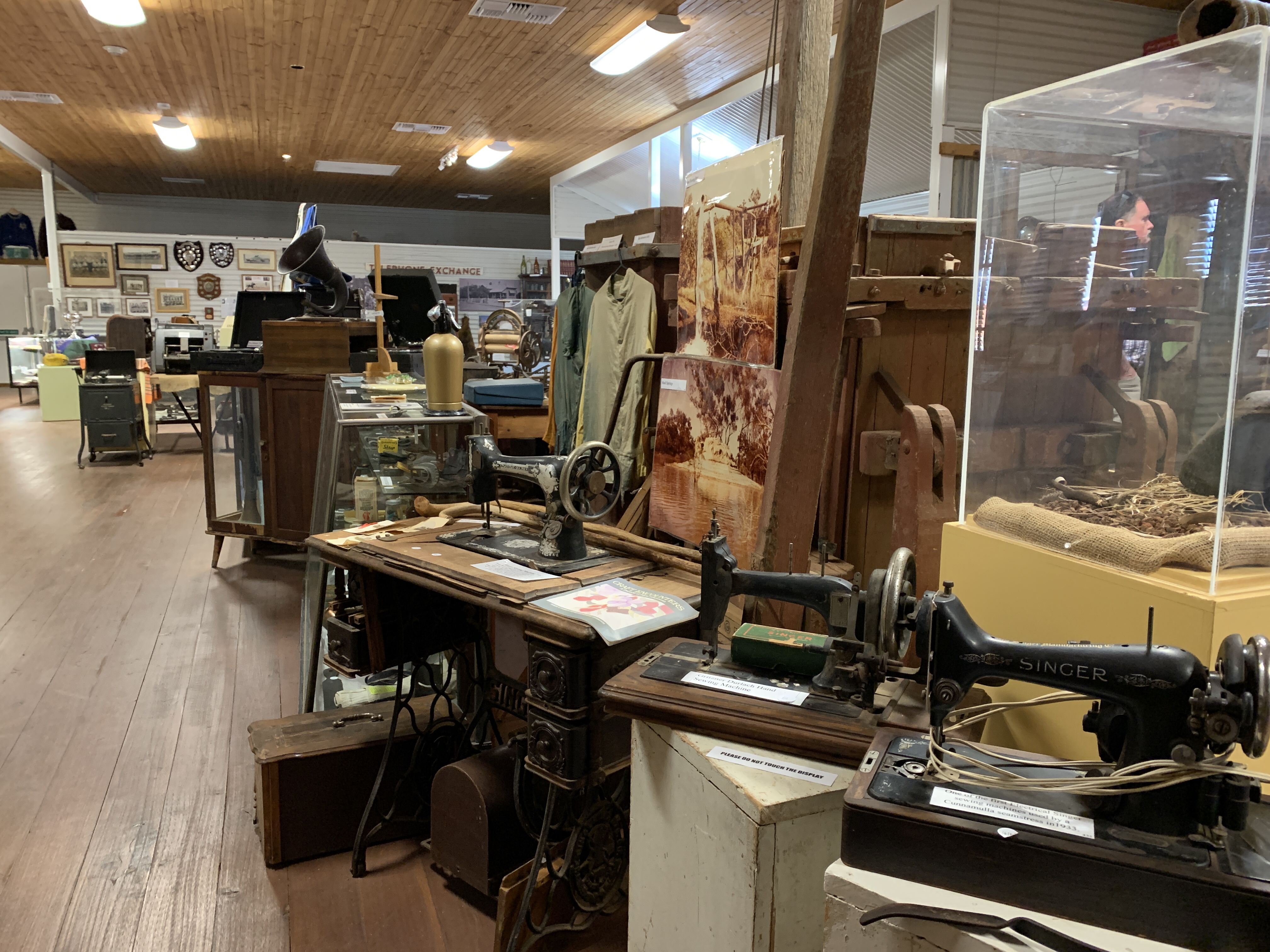
We visited the bakery for some fresh bread and across the road is the Historic House Museum. While Rich had some morning tea I visited the museum. The museum was built in 1889 as the Queensland National Bank with the bank at the front including a huge safe, and a residence for the bank manager and his family at the back. Across the yard at the rear were stables, tack rooms, and a buggy shelter. The property even had its own well. No expense was spared for the bank in the construction and the house features marble fireplaces, ceramic door knobs, cedar doorways and architraves and classic high ceilings. Today the house is home to a huge collection of local memorabilia including historical photographs, antique clothing, musical instruments, gramophones, and even the typewriter used by Rev. John Flynn (co-founder of the Royal Flying Doctor Service). Out the back are some fine examples of horse drawn vehicles and motor vehicles. If you love old stuff and history then this is a must do stop in Charleville.


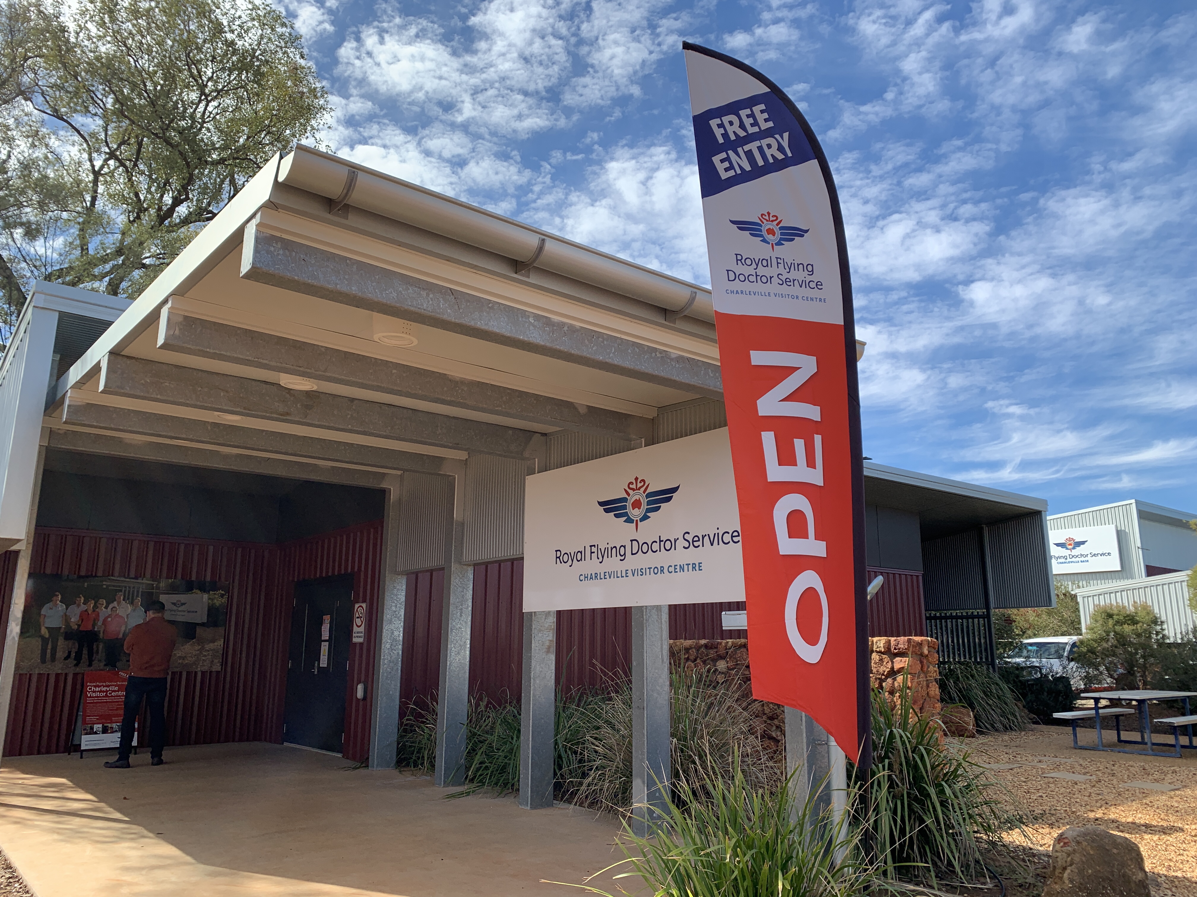
We drove out to the Charleville Airport Complex and this is where we were booked to do a tour of the Secret WWII Base the next day. There is a Dump Point and potable water available here for visitors. The area is also home to the Royal Flying Doctor Service Visitors Centre and the
Cosmos Centre & Observatory. We paid a visit to the Royal Flying Doctor Service Visitors Centre and this was a great little exhibition showcasing the wonderful work that this organisation has been providing for remote Australians for many years. Well worth a visit.
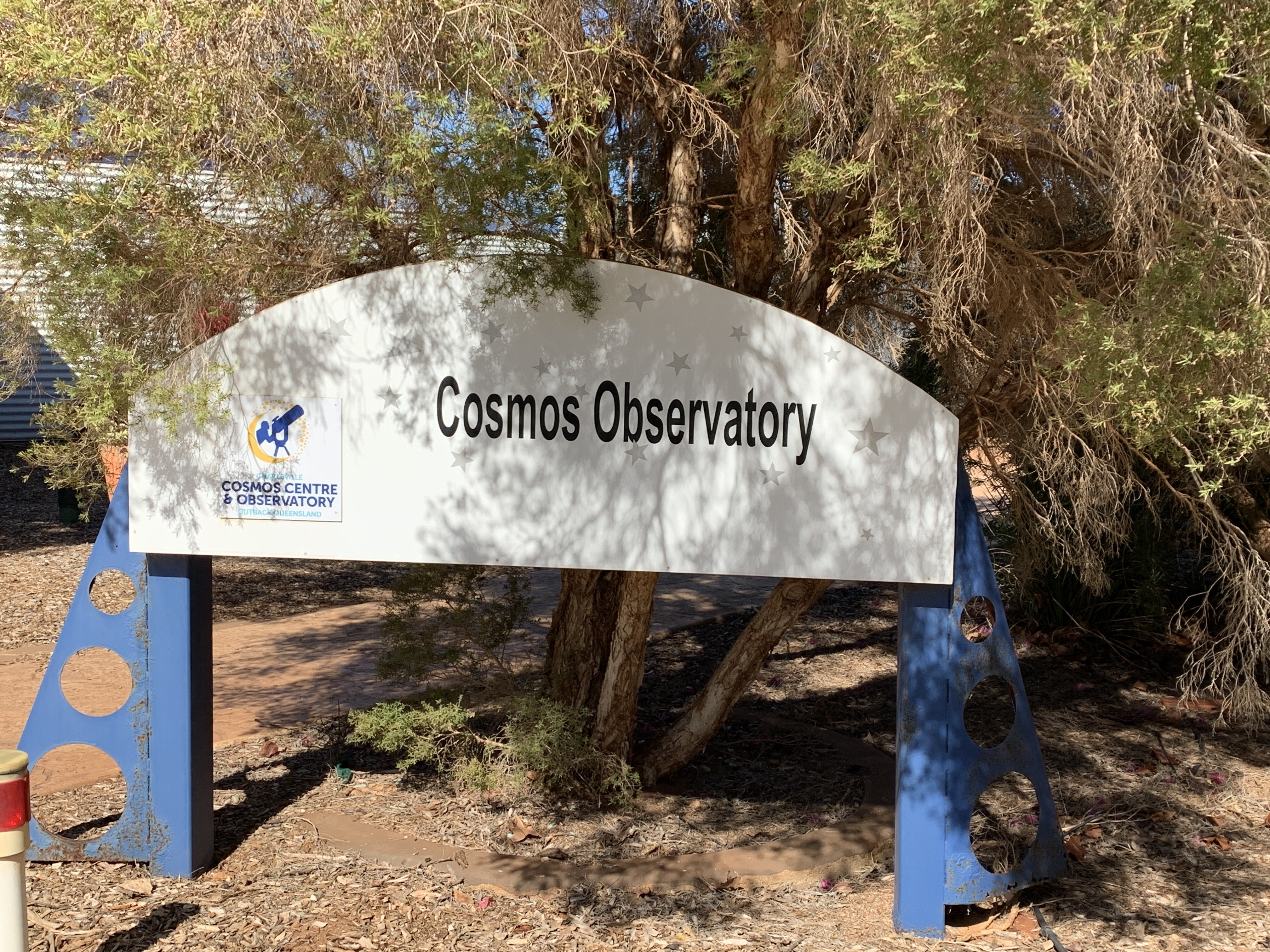
We also paid a visit to the Cosmos Centre and this too is a great Exhibition of all things astronomical and space. Lots of great displays. Kids would love visiting this place.
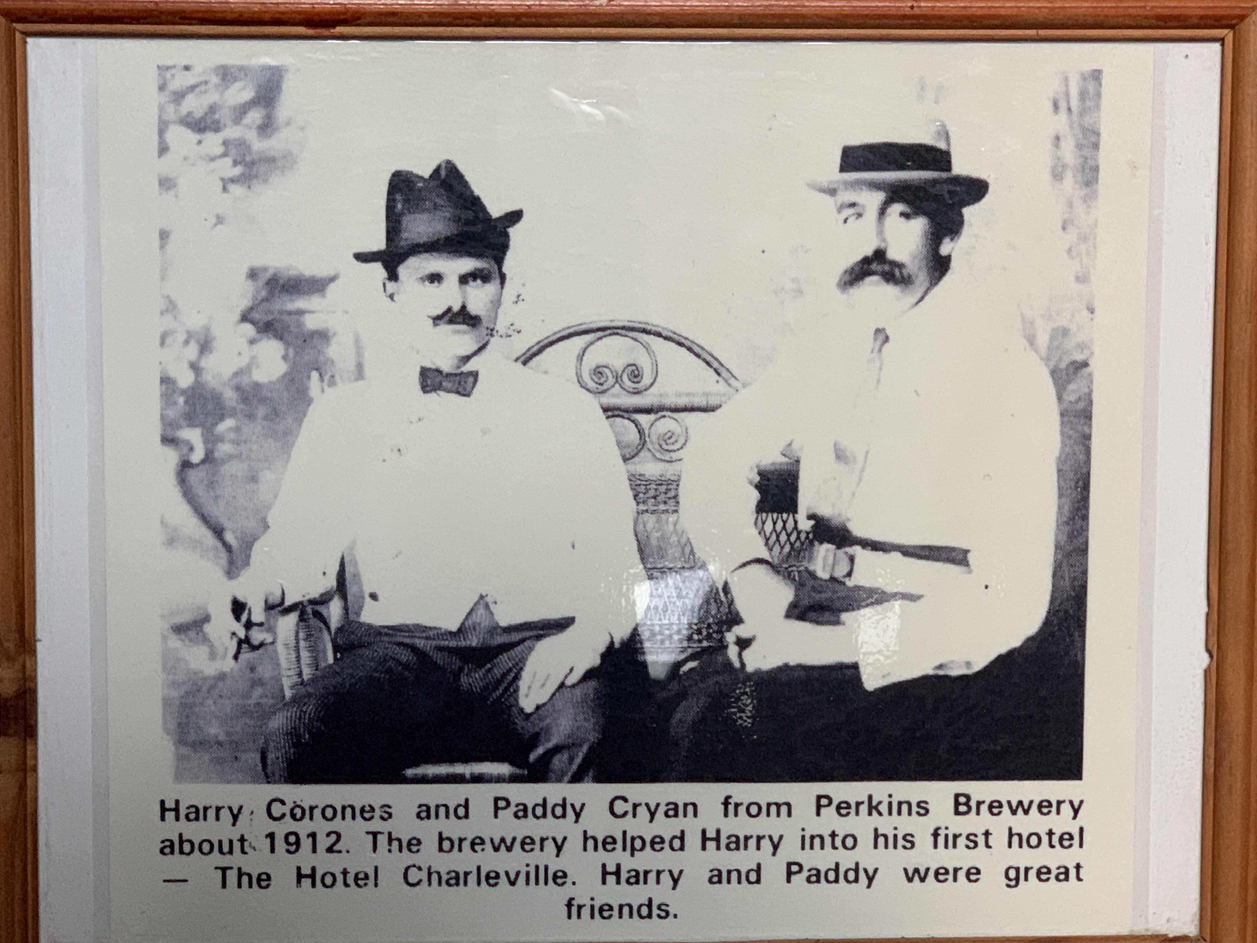
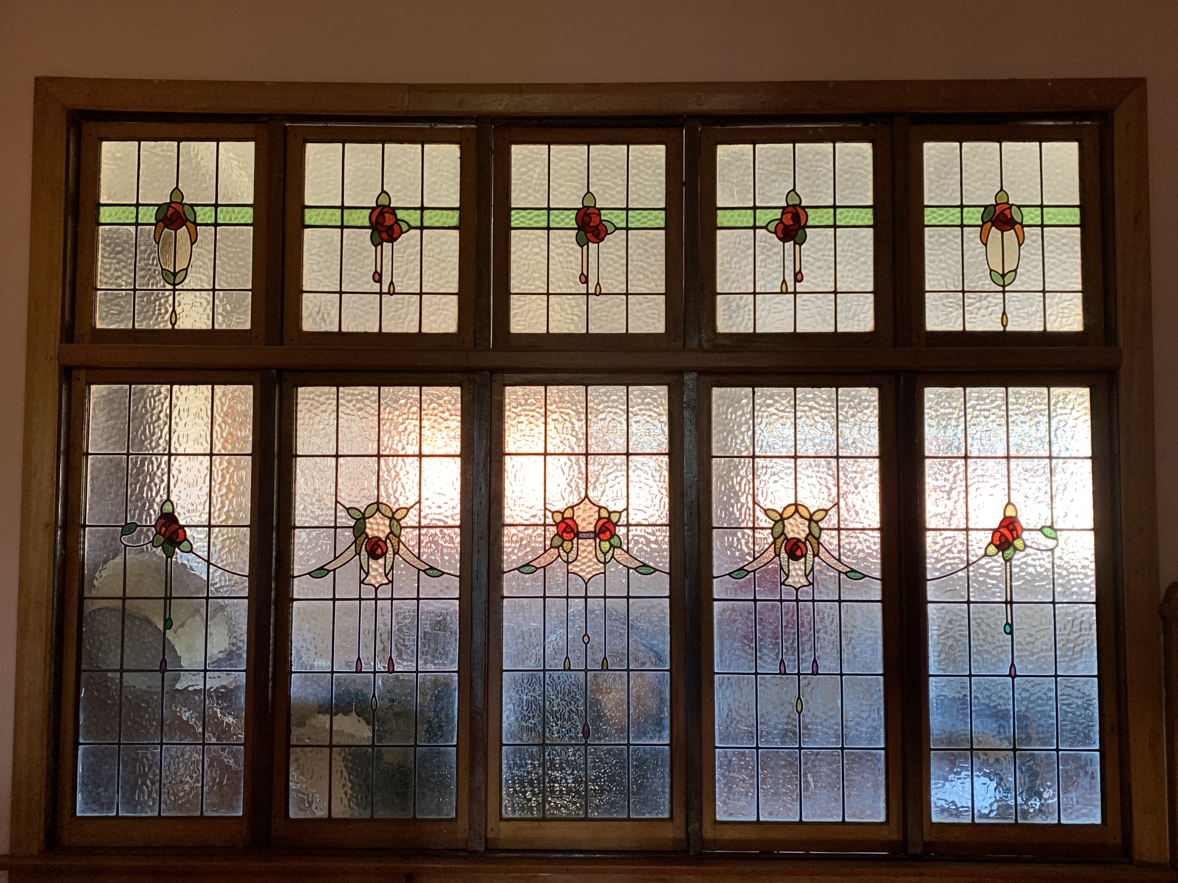
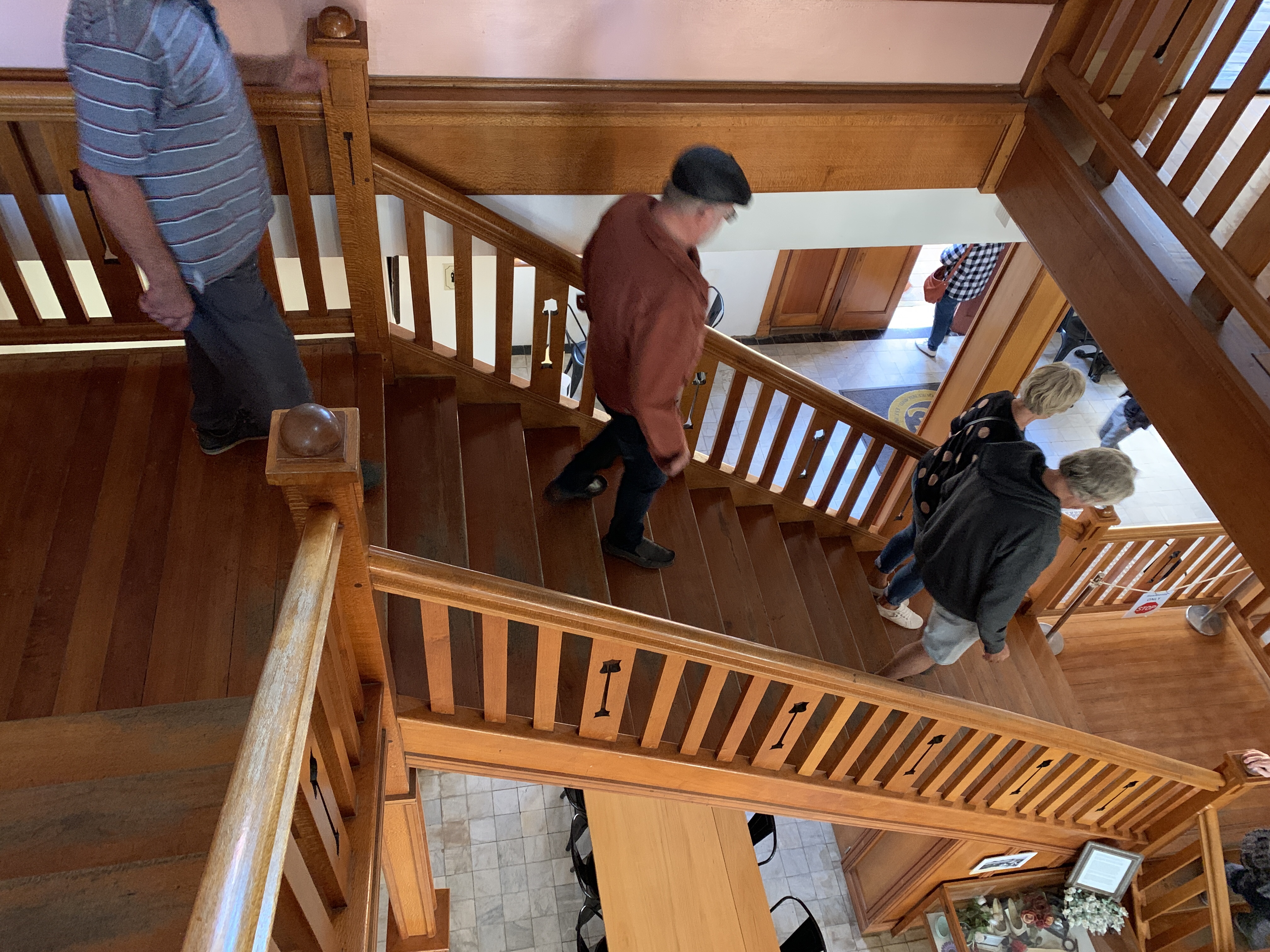
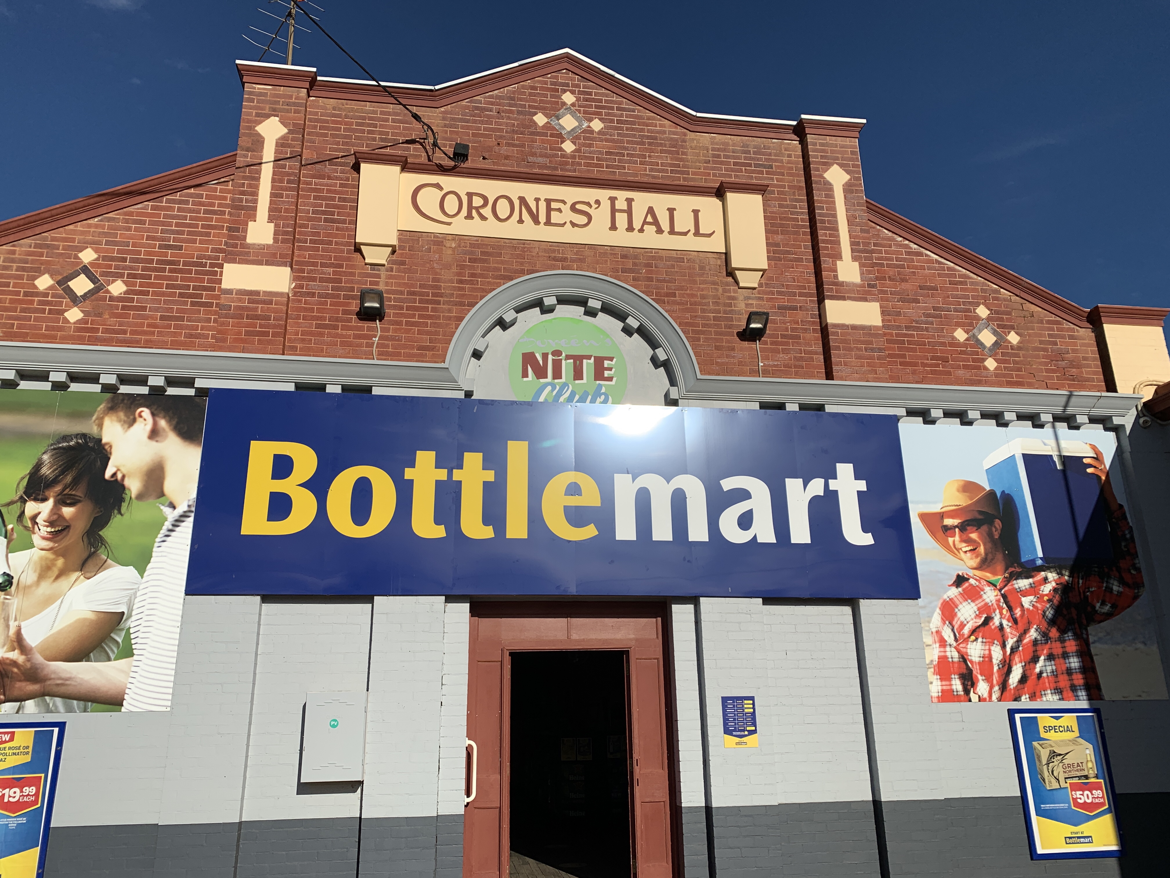
Back in town is was time for us to do our Hotel Corones Tour. This tour is run daily at 2.00pm between April and October and is a guided tour of the most famous building in Charleville. We rocked up for this tour with no real knowledge and thoroughly enjoyed our tour. The Hotel Corones was the crown jewel of Greek immigrant Harry Corones life. He migrated from a small Greek fishing island to Australia and through his own hard work and vision created an icon. Harry became a Charleville legend and was into everything. He made a fortune from his hotel but wasn’t shy of sharing his good fortune with his community. Many famous guests have stayed at the Hotel Corones over the years including aviator Amy Johnson, Robert Menzies, and even the Duke and Duchess of Gloucester. Harry’s story is one of a migrant made good and is a great story happily shared by our tour guide whose great great grandfather was the builder of the hotel. A drink of your choice at the famous long bar is your reward at the end of the 3 hour tour. We recommend any visitor to Charleville take this tour. It is full of fabulous little anecdotes about Harry, his family, guests of the hotel and we loved hearing how enterprising Harry was. This tour gets a big thumbs up from us.


By the time we finished the tour it was time to find a camp for the night and we traveled back out to the CMCA Park where we were met and checked in by caretaker, Craig. The park had filled up while we’d been out sightseeing and there was a huge variety of motorhomes, campers and caravans, even a couple of fifth wheelers. After setting up camp we carried our chairs and a drink across to the communal area for happy hour. There were already about 20 people sitting around the fire and we enjoyed the next hour or so chatting and listening to others before heading back to camp for some hot soup and an early night.
Bourke to Cunnamulla
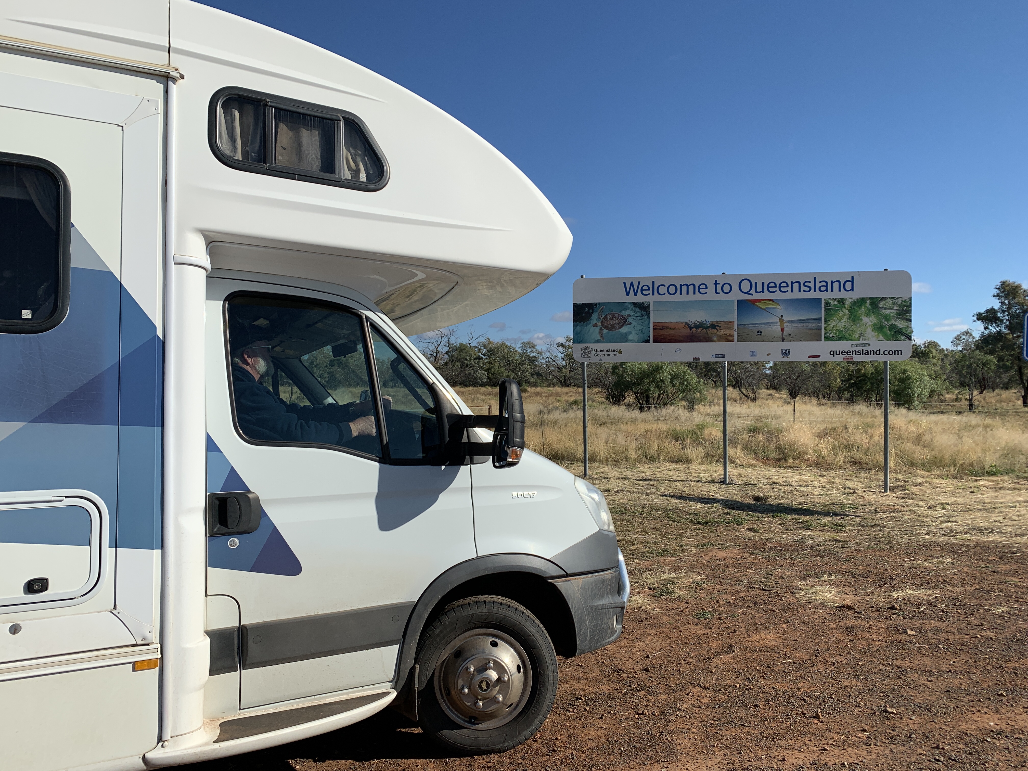
We set off excitedly from our great overnight camp alongside the Darling River at North Bourke. This day we would cross the border into Queensland.
Travellers into Queensland must apply online for travel passes and I had done that a couple of days ago however I received a text from the Qld Govt to say our travel passes had been revoked because there was now a new Covid-19 hotspot in NSW. This meant we had to apply for passes again. They were granted immediately as we hadn’t been in any hotspot area so we were now able to cross the border.
The countryside between Bourke and Cunnamulla is very flat and the road is long and straight. We didn’t see much livestock, only a few goats and Emus. When we reached the border at Berringun we stopped to take photos of our border crossing. There were no officials manning the border to check if we had the correct travel pass.
On the Queensland side of the border was a large billboard with stories about the Exclusion Fences. These fences are built to keep wild dogs away from valuable livestock. Each year wild dogs are responsible for killing or maiming tens of thousands of dollars of livestock and the fences are part of the control management of these pests. One famous fence, usually called the Dingo Fence, is 5,500km long and stretches from near Dalby in Qld to the Great Australian Bight in South Australia.

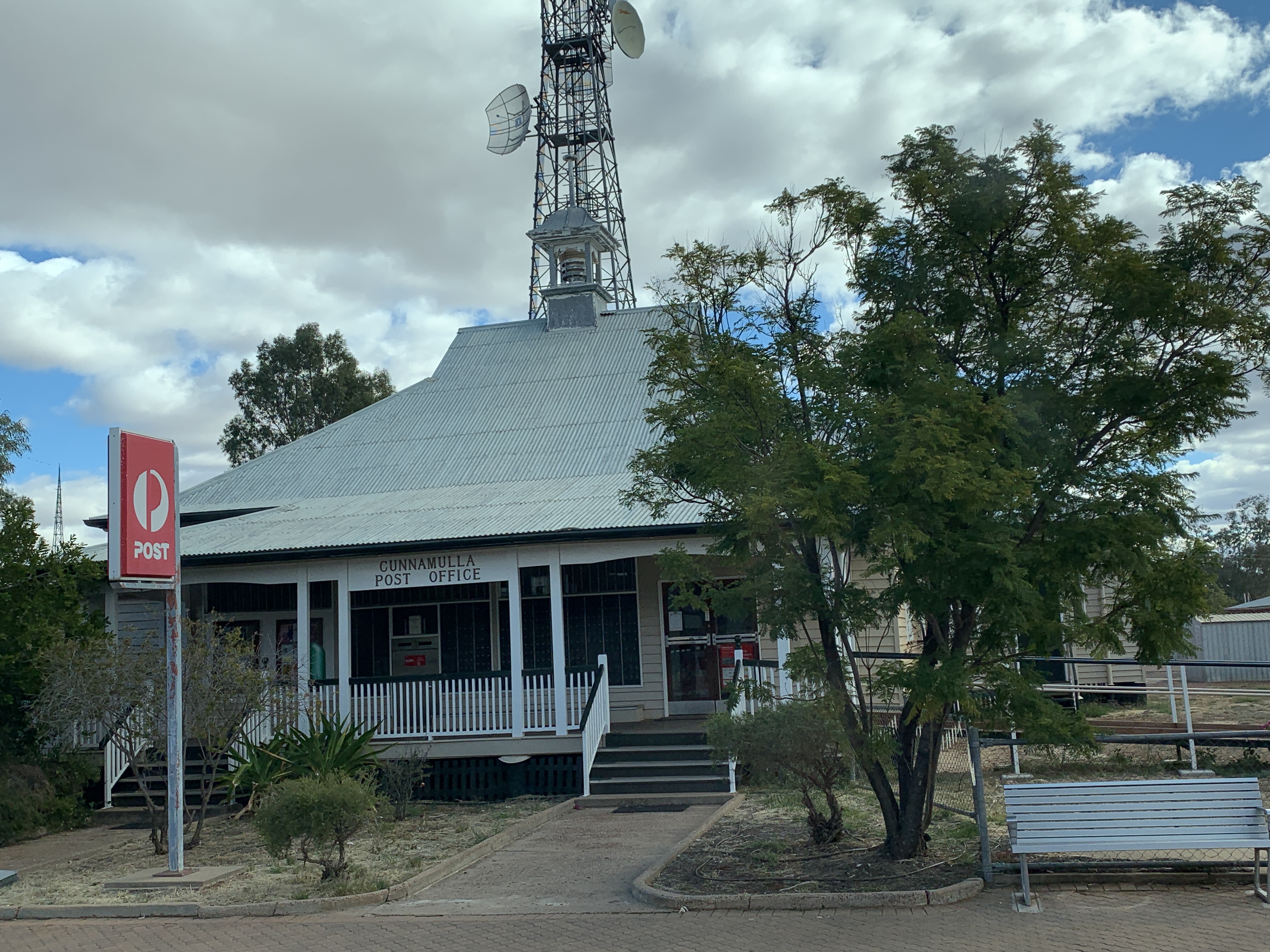
We arrived at the the small outback town of Cunnamulla around 11.30am and went directly to the Visitors Centre where we were just in time for the next screening to the Great Artesian Basin movie. This great little movie talks about how the basin was formed over time, the indigenous usage of the water, the explorers, early pioneers and settlers, the sinking of bores and the current scheme that incentivises property owners to cap their bores and use pipes to prevent wastage of this precious resource. It was a very informative little movie.
The Visitors Centre also houses a fabulous collection of memorabilia and it is well displayed and labeled.
The current show in the Art Gallery is works by Wayne Rasmussen. He has used the iconic road sign as the base for his works. We see these road signs everywhere when we travel and they just become part of the surrounding environment. The artist has cleverly used different paint so when the paintings are viewed in different light you see something different. In normal light you see road signs, ones we see all the time however view them using a black light torch and you see a whole different painting in fluorescent colours. Quite clever!
The Visitor Centre is housed in Cunnamulla’s original school building built in 1885. It was repurposed as the Visitors Centre in 1995.


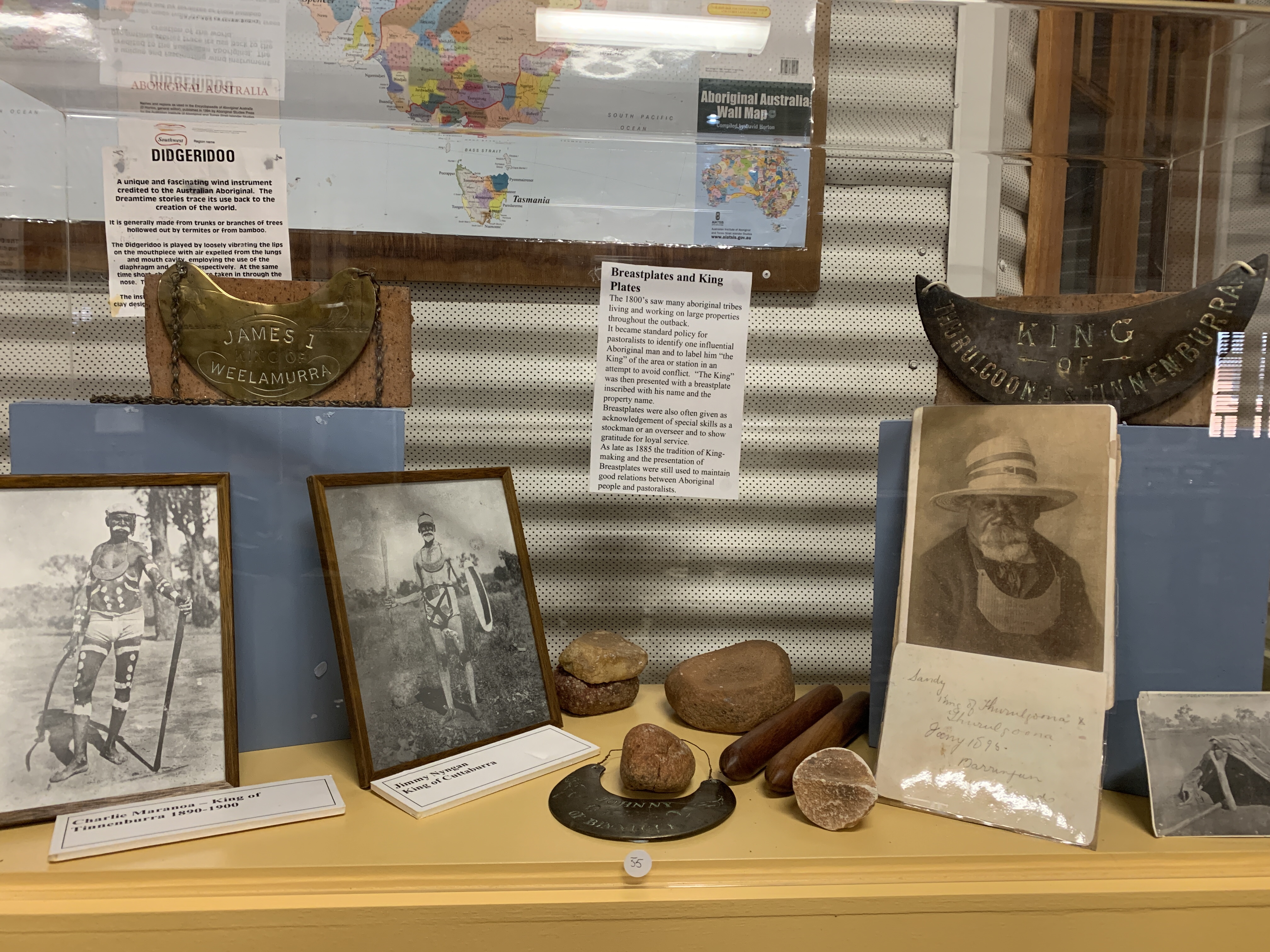
Cunnamulla is a small town on the Warrego River. The Warrego regularly floods and the town is protected all around by an 11m high levee bank. The town was originally a Cobb & Co stop established in 1879. Today it is home to some 1200 people, 37% of whom are Aboriginal or Torres Straight Islanders.

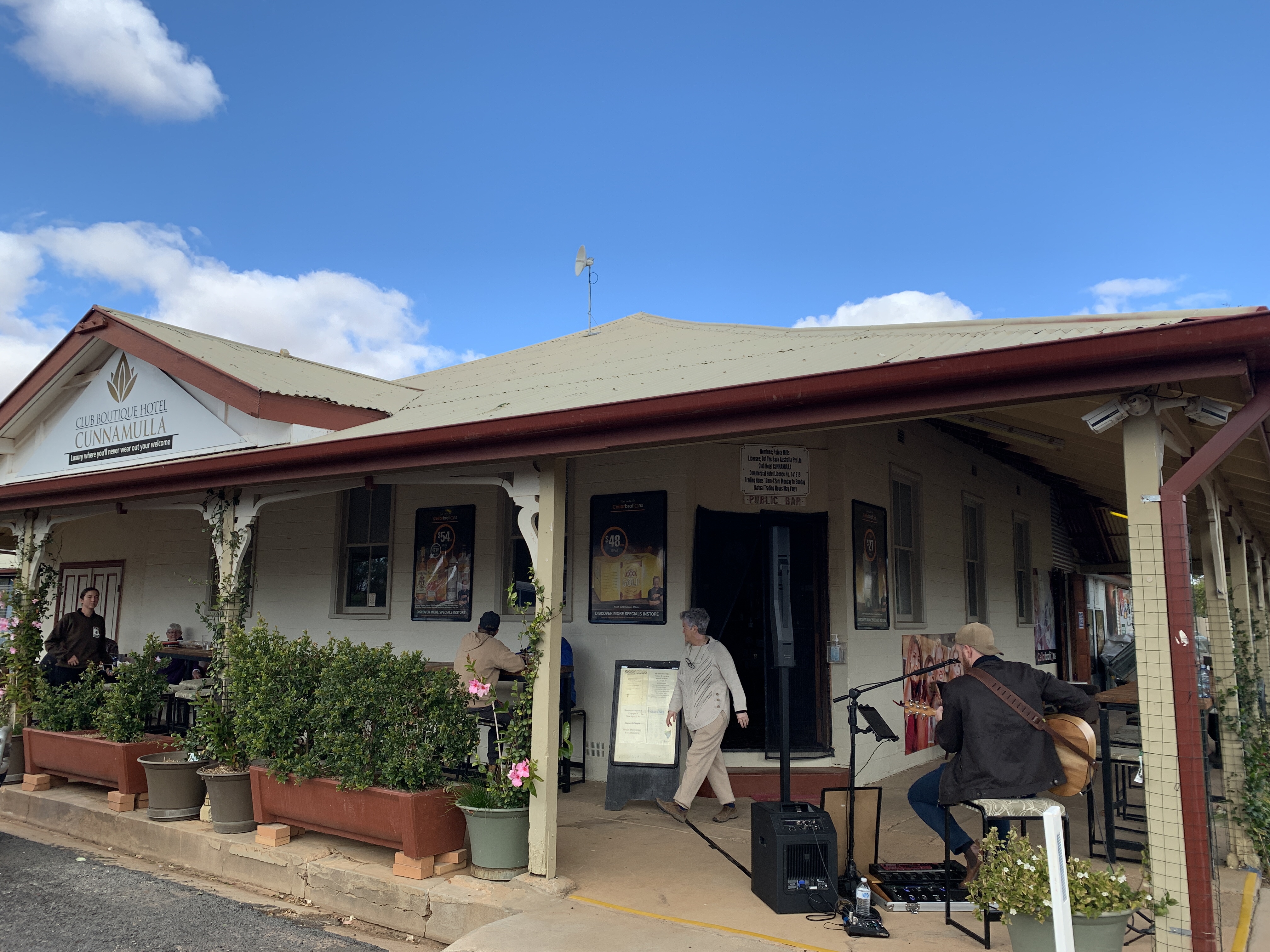
We left the Visitors Centre and went to the IGA to pick up supplies and by this time our stomachs were grumbling. We drove around and saw a pub that had a nice verandah and looked busy with diners. As an added bonus there was also live music playing. We find that the busiest places usually have the best food and we enjoyed a couple of delicious steak sandwiches accompanied by the live music provided by a young bloke named Ken Dustin at the Club Boutique Hotel.
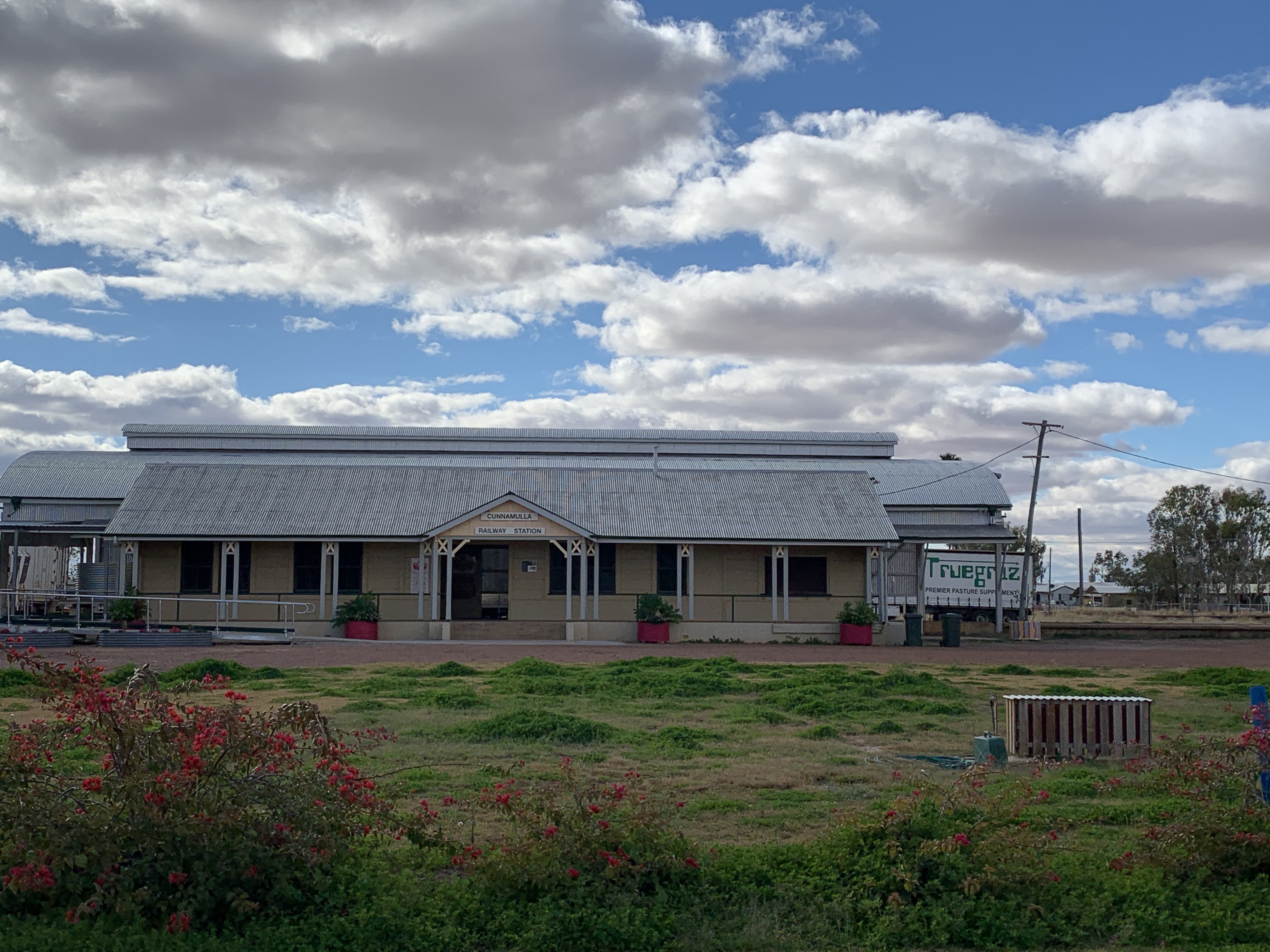
After lunch we drove around the little town and saw the Cunnamulla Fella, a statue of a swaggie immortalised in a Slim Dusty song called ‘The Cunnamulla Fella’, the old Post Office built in 1890 on the site of the Cobb & Co stockyards, the art nouveau Memorial Fountain built in 1919 to commemorate all the soldiers who died at Gallipoli, the painted water tower painted by artist Guido Van Helton depicting local children playing sport, and the old Railway Station built in 1930 that replaced an earlier building built in 1898 that was destroyed by fire.


Leaving Cunnamulla we got back onto The Matilda Way heading northwards again. Interestingly, the road in NSW is called The Kidman Way but once we crossed the border it is now called The Matilda Way. It was 100km of very flat countryside with long straight roads and only Emus. Does this sound familiar? The road was a pretty good wide tar road and there was not a lot of traffic. We swapped drivers and I was driving as we came to the tiny community of Wyandra. This enterprising little community offers a small caravan park with powered sites for $20 per night as well as a free (make a donation) camp in the large paddock behind the public school. There were quite a few vans and motorhomes already set up there as we drove by.
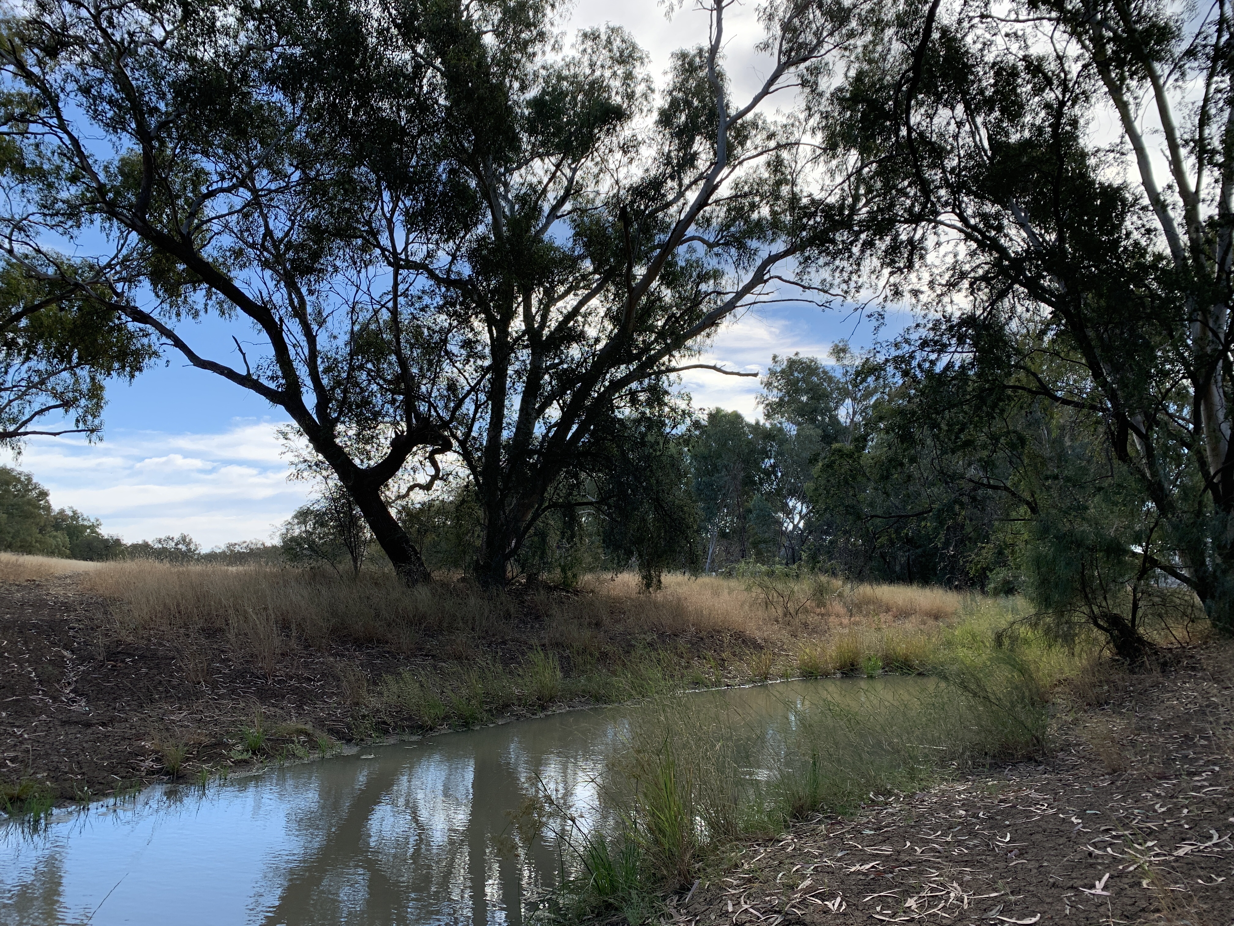
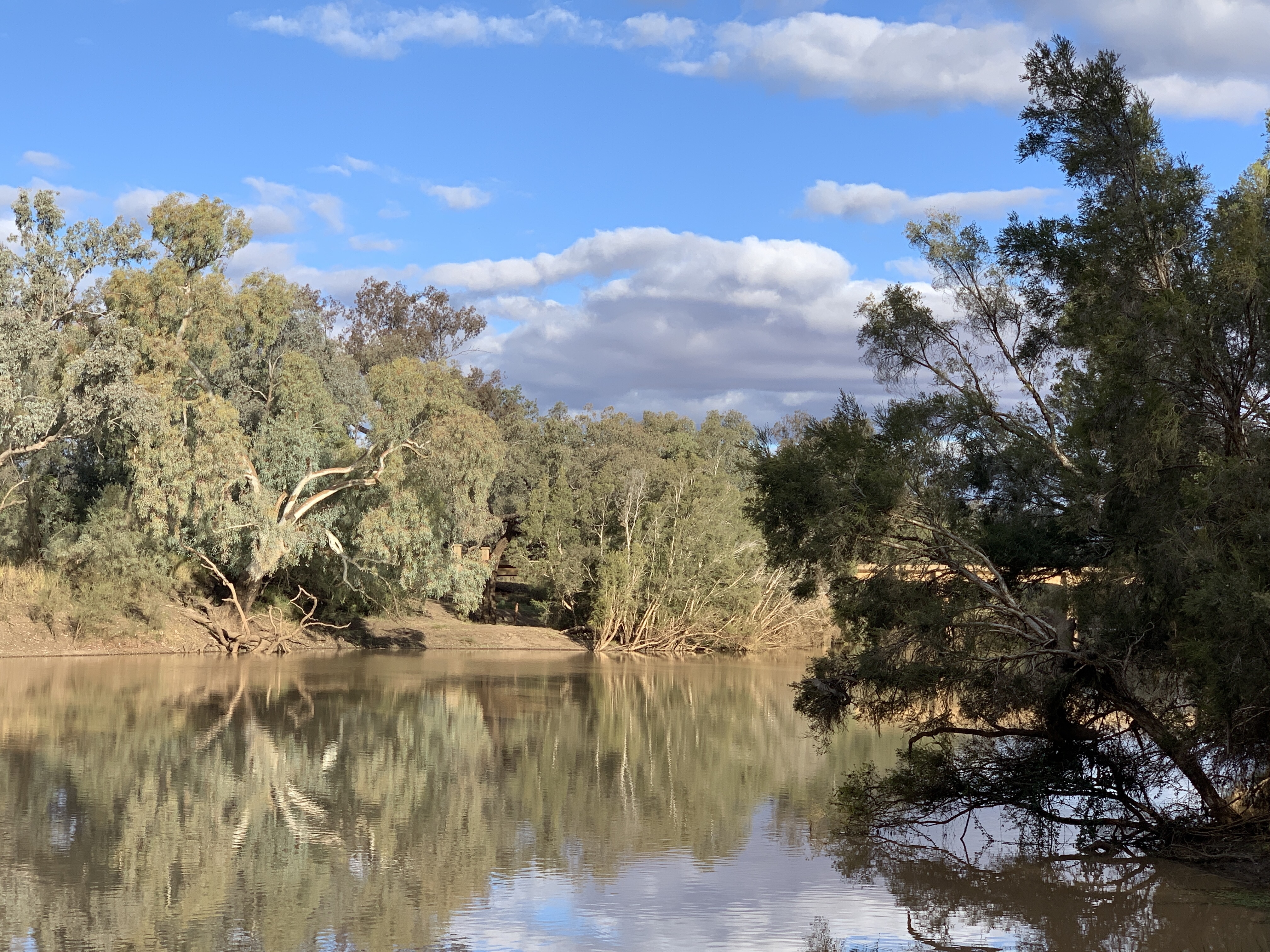
However this didn’t really appeal to us and we went a little further west, crossed the bridge over the very full Warrego River and saw a track leading off to the right. It looked like it might lead to the riverside so we parked up and walked down the track to check it out. Sure enough there was a perfect spot, just big enough for one RV like ours or two small vans. It’s obviously a popular camp site as there is evidence of multiple fires along the riverbank. We quickly set up camp and got a fire going. I wrote this post while sitting outside next to the fire and feeling the serenity of camping with a water view. I think that’s the best campsite….one with a water view.


Cobar to Bourke
It rained a couple of times overnight. Just light rain and nothing to give us concern about the dirt road to get out of the camp area at the Cobar Old Reservoir. We both enjoyed listening to the patter on the roof while snuggled warm in our very comfy bed.
It was raining in the morning. Just a misty rain and it looked cold outside. I’d had a message from one of our son, Michael’s old school mates who lives in Cobar with his young family. I contacted him and he said he’d call out to catch up with us before we left.
Chilli arrived not long after. He’d just come off a night shift working at one of the mines in Cobar and was ready for a good sleep. He came in while we finished cleaning up after breakfast and getting ready to move. We followed him to his house with a stop to check out the Newey Reservoir. What a lovely spot for a picnic on a nice day, I thought.
We had a lovely visit with his young family. The little boys were excited to see us. I think they remember visiting with us in Griffith not long ago.
We left an overcast and rainy Cobar behind at 9.30am and headed northwards towards Bourke.
After leaving Cobar we were on a road that neither of us had been on before. From here on we would be exploring places new to us.
The countryside between Cobar and Bourke became progressively flatter. There were lots of feral goats along this stretch of the road. We also saw a few Emus.
As we neared Bourke there was scattering of cotton along the edge of the road. It’s obviously a large cotton growing area
We arrived in Bourke around 12ish and spent the afternoon exploring this little river town. We visited the following:
* The Historic Bourke Cemetery
* The Lock & Weir on the Darling River.
* The Historic Wharf
* The Crossley Engine
* Historic Bourke buildings
* The painted water tower
* Back O’ Bourke Exhibition Centre & Information Centre
After that very busy afternoon we topped up our fuel and got a gas bottle before heading to North Bourke to find a camp spot for the night. This Swap N Go gas bottle was the most expensive one we’ve ever encountered. $35 for a 4.5kg bottle. Diesel was $145.90/l. It was very windy and cold.
We crossed the Darling River over the ‘new’ bridge and from there we could see the original lift-span bridge. It is the oldest surviving lift-span bridge in Australia and was designed to allow paddle steamers and barges to pass under during periods of high water. The bridge was built over 100 years ago. It is now closed to all traffic. On the other side of the bridge is the Back O’ Bourke Gallery featuring works by local artist Jenny Greentree. Jen is fascinated with the outback and its extraordinary landscapes. She brings it to life in her beautiful works, mainly using pastels. I bought a print of a classic Darling River scene complete with River Red Gums. I’ll have it framed and put on my travel wall with the other paintings I’ve collected over our travels.
Back south across the ‘new’ bridge and this time I was on the right side of the motorhome to be able to get a photo of the old bridge. Just past the bridge is a turnoff to a boat ramp and this spot shows on WikiCamps as a great spot to free camp on the banks of the Darling. We found a fabulous flat spot right on the bank overlooking the muddy brown river. We quickly set up camp, got a fire going, put on our Apricot Chicken and potato bake to cook and settled in to enjoy the serenity. Rich pulled the top off a ten year old red, I’ve got a lovely dry Sauvignon Blanc. How good is life? What a great day we’d had.


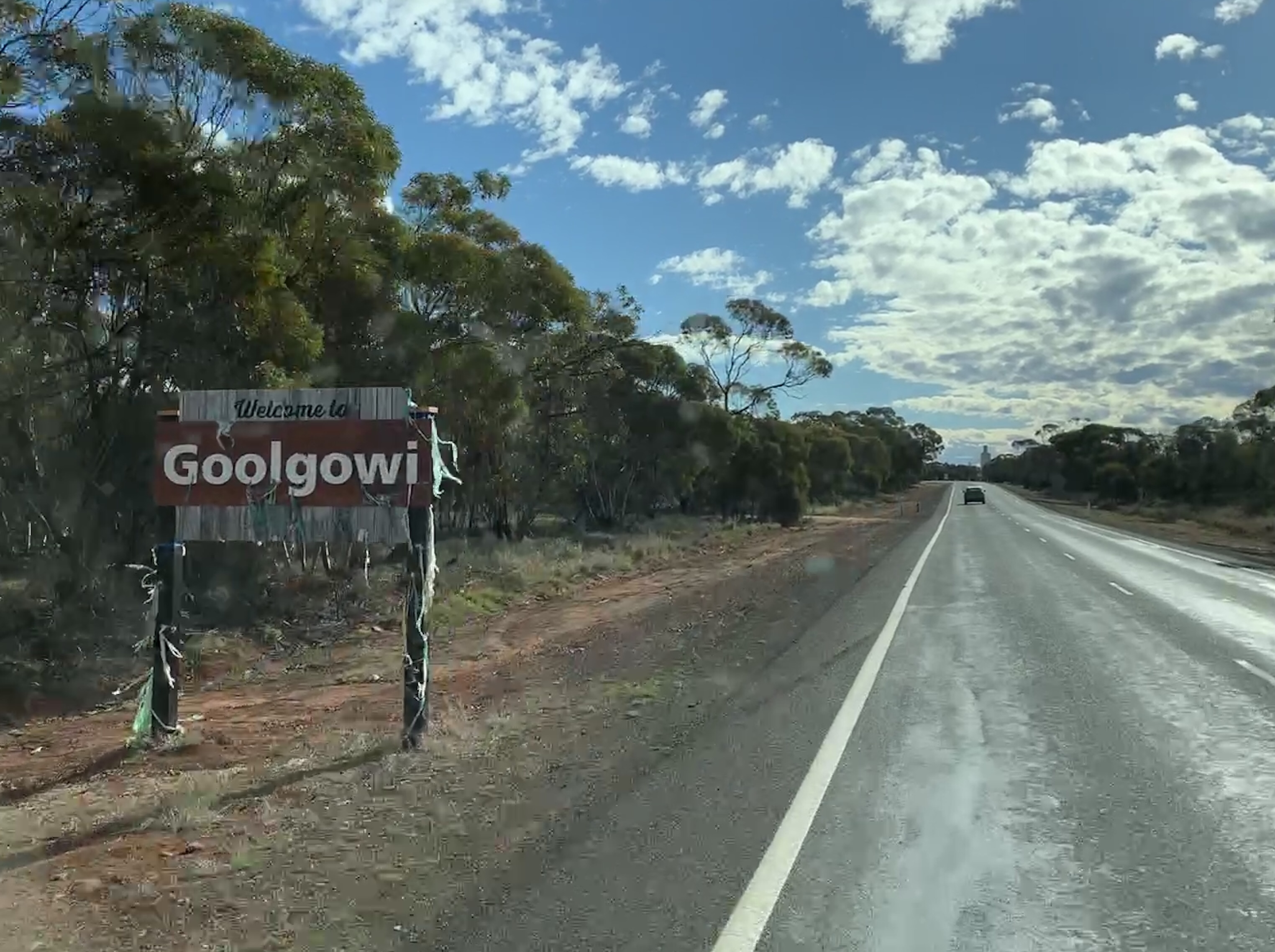
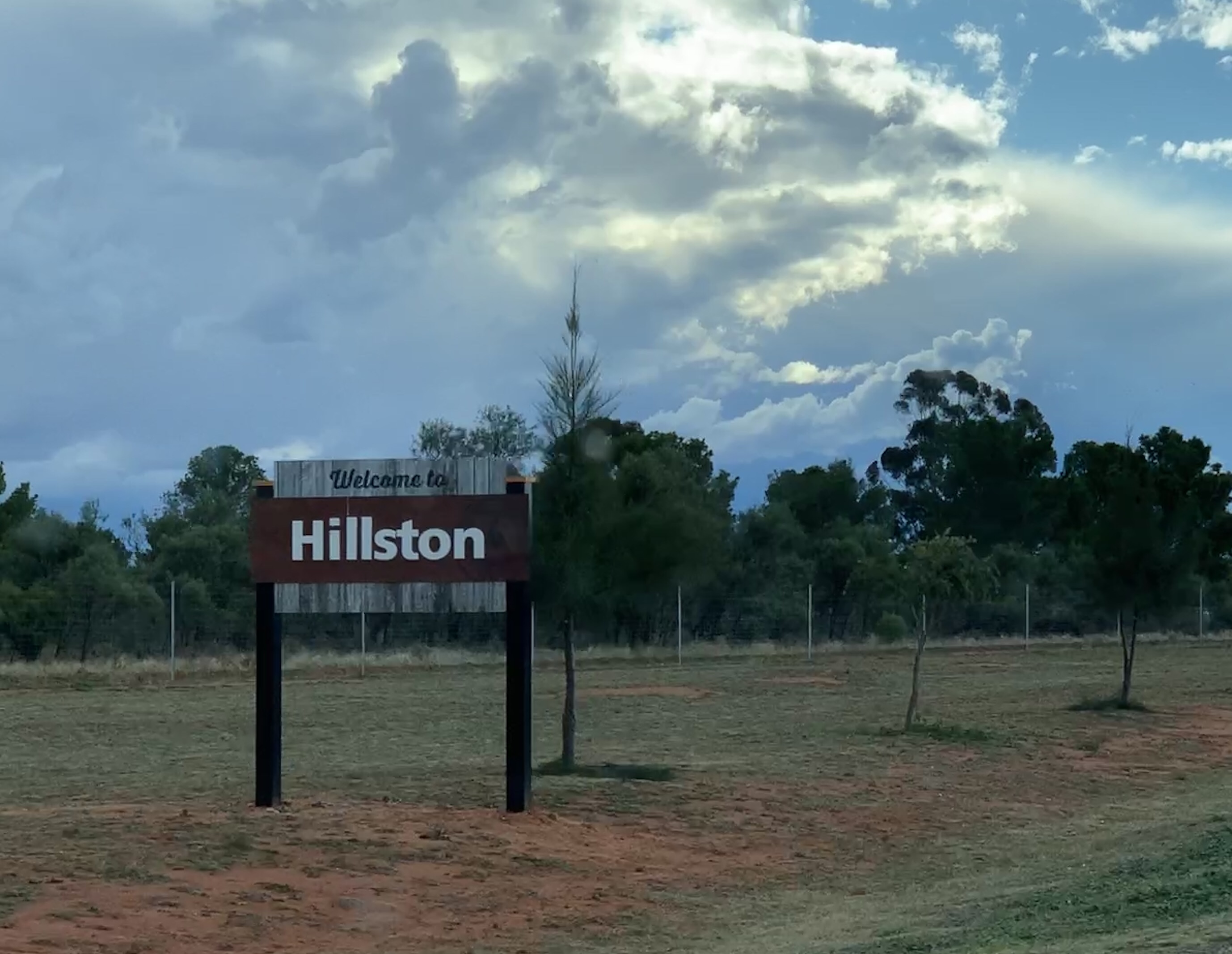
Hillston to Cobar
We had a great nights sleep at the Hillston Rest Area. This large paved Rest Area is just 2km south of Hillston opposite the Airport. It was a busy rest area last night. I counted 3 caravans, a huge fifth wheeler, us and a couple of nice young girls camping in a tent. Multiple big rigs also used the rest stop during the night.
Richard got chatting to the young ladies and invited them in for a hot cuppa. They took him up on the offer and I think they enjoyed being able to sit inside in the warm for a bit. They are traveling in their little car with a 2 man bell tent and plan to go all the way to Uluru. They had planned to go via Ivanhoe but due to the recent rain and the heavy storm yesterday the Ivanhoe Road is closed. It will probably be closed for a few days to dry out. This means the Ivanhoe-Menindee Road is probably closed too. The girls have no option but to go the long way around via Cobar and Broken Hill. I heard them leave about 4am.


We started our travels again by visiting the tyre joint in Hillston to see if they could find out why one of our tyres is leaking air slowly. After taking the tyre off and investigating we are still no wiser. There is nothing wrong with the tyre or the valve so, by the process of elimination, it must be a faulty valve extension. They didn’t have one so we will have to try to get a replacement in Cobar. At least we know the tyre is OK. Unfortunately without the extension we cannot fit the TPMS sensor so we won’t know if we get a puncture in that tyre. We’ll just have to check it manually as we go.
It was a lovely, sunny, cold day and made for quite pleasant traveling as we were warm and snug inside. The countryside after leaving Hillston is mostly Mallee scrub with some cleared land for cropping. We did see a few Emus and a couple of paddocks with healthy looking black-faced sheep. As we got closer to Mt Hope we also came across native Pine forest.
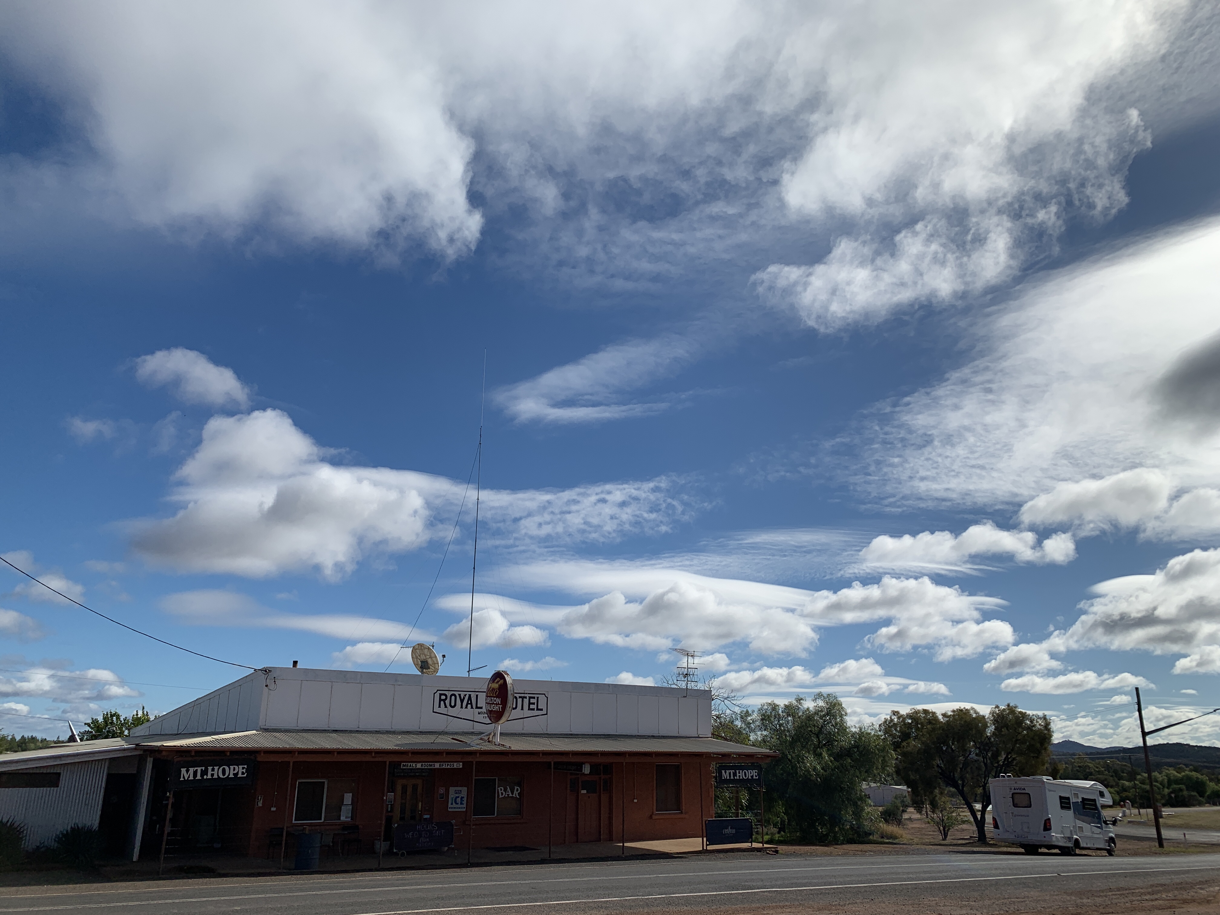
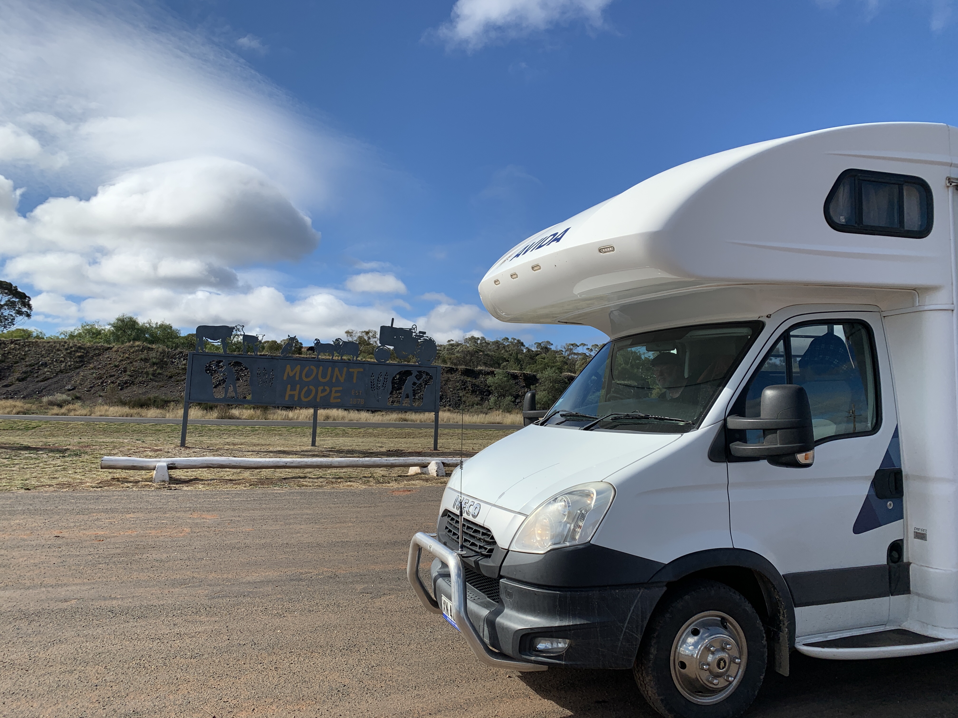
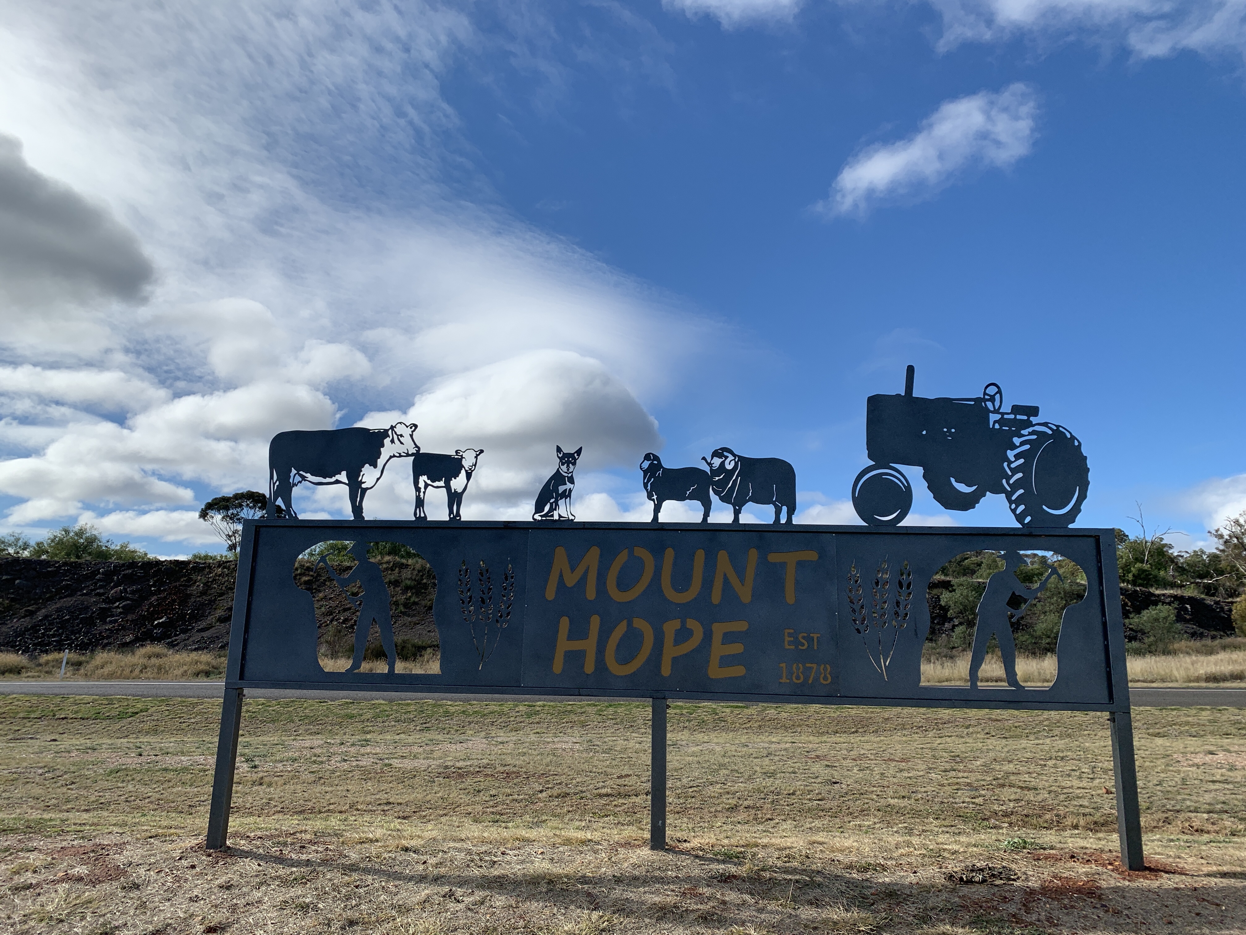
We had a short stop at the tiny village of Mt Hope so I could take a photo of our motorhome near the Royal Hotel. Across the road is the remains of the slag dump that my dad and his brothers used to play on when they were boys and lived in Mt Hope. The school they went to is just an old historic site now. Funny to think this is where my dad and his brothers spent their early years. Back then the road wasn’t even tarred. It would have been pretty remote.
Further along The Kidman Way we stopped for a lunch break at the Gilgunnia Rest Area, 51km north of Mt Hope. This is the site of the Gilgunnia Goldfields and was once a thriving mining area. I liked the statue called ‘Charlie’ made from bits of old metal stuff and the story alongside.


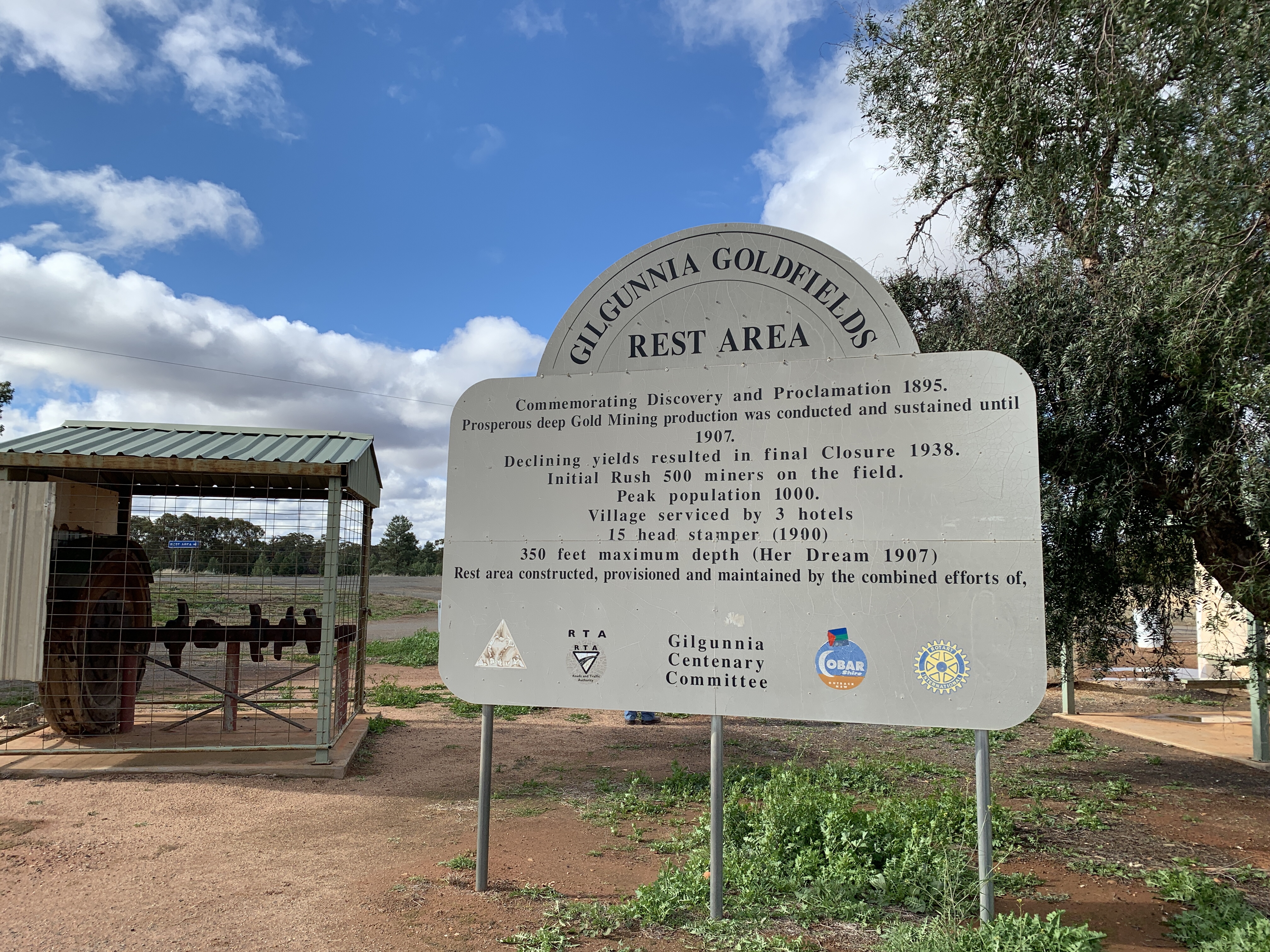
Gilgunnia Goldfields was once home to 1,000 people and had 3 pubs. One of those was founded in 1873 by Henry Kruge (more about him later) and he also provided blacksmith and wheelwright services and sold general stores. He was an enterprising man and as Cypress Pine grew in the area he also set up a sawmill and later opened a post office at the hotel. This old hotel eventually became a homestead and survived until it was destroyed by fire in 1976.
Gilgunnia was proclaimed a village in 1897 and had a public school from 1896 to 1907.
All mining had ceased in the area by the 1930’s and the population dwindled and by 1942 there was no one left. The buildings decayed and there are no buildings left today.
It is a good stop for a rest with some remnants of mining on display. There is a plaque commemorating the Kruges as the first settlers in the area and the founders of Old Gilgunnia.
We continued on towards Cobar. The countryside became progressively hillier and we were surprised by the amount of floodways on the roads. It doesn’t rain often out here but when it does it must be heavy to need all those floodways across the road.
Along this stretch of The Kidman Way we spied lots of groups of feral goats of all sizes and colours. Many of them do not appear to be afraid of the traffic on the road.
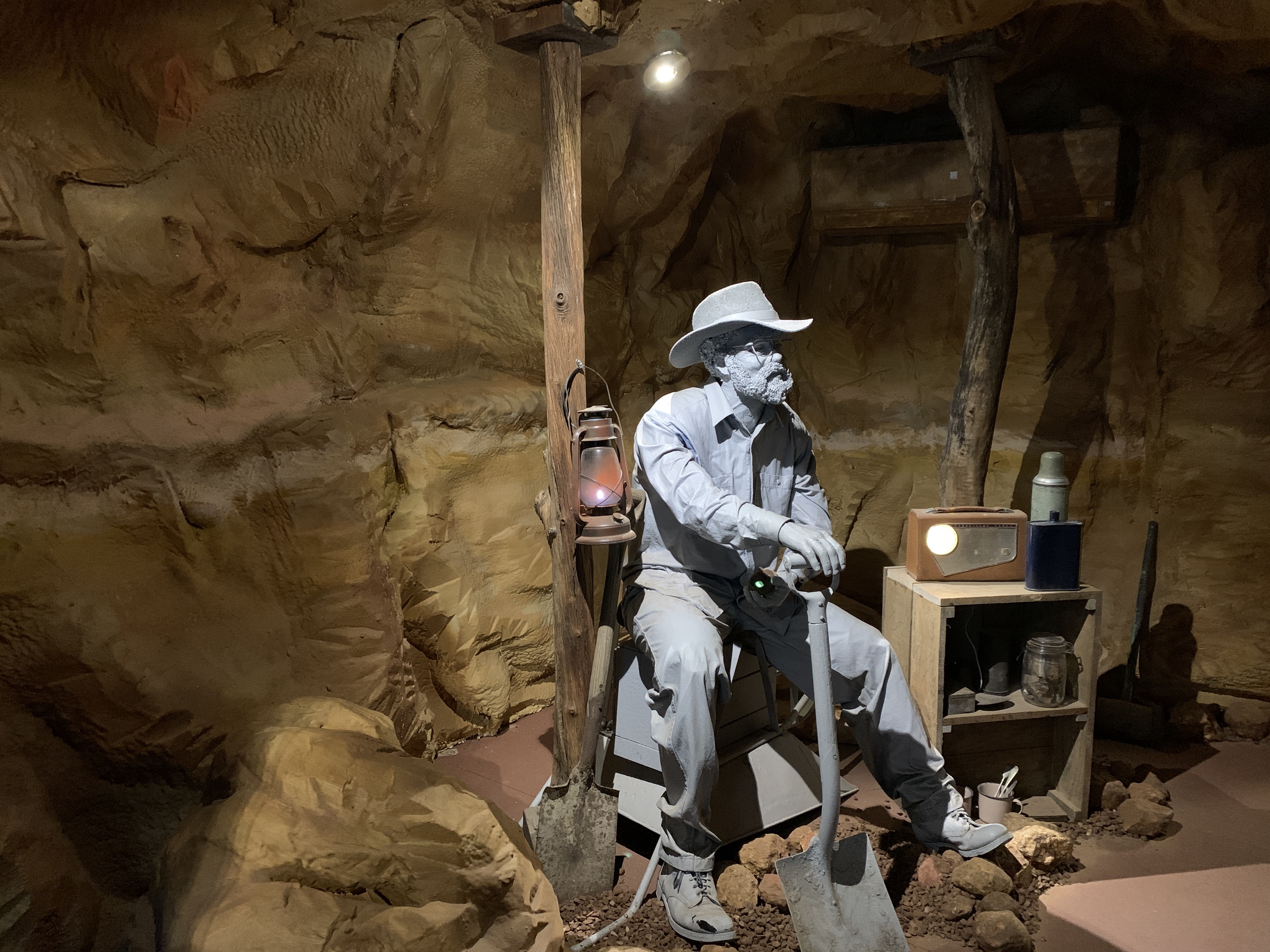
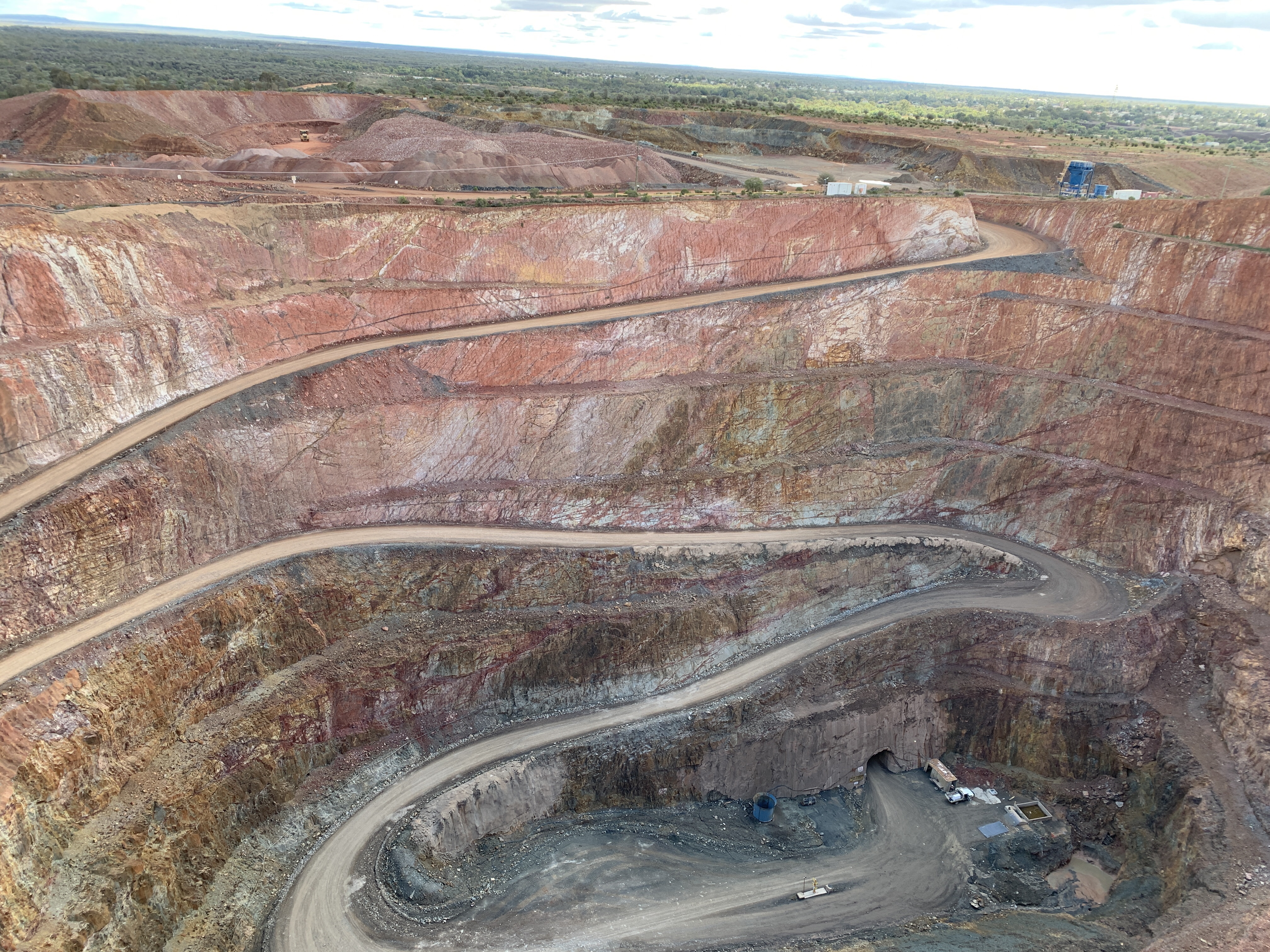
Just south of Cobar we turned off to the Fort Bourke Hill Lookout and I’m glad we were not towing a van. The very narrow tar road leads to the top of a steep hill and there is a very small turning circle at the top. I think they need to have a Not Suitable for Caravans sign at the bottom of the hill. There is a small tin shed only a short walk away from the carpark and it overlooks the New Cobar Mine. The shed houses story boards of the history of Cobar and mining in the area. It was really windy and very cold standing up there looking down at this huge hole in the ground. New Cobar open cut mine was started in the late 1890’s and is considered to be a medium sized open cut. I thought it looked pretty big!
On the northern end of the cut you can clearly see the vein of quartz called the Great Chesney Fault and it extends south to the Chesney and New Occidental Mines.
Underground mining commenced at New Cobar Mine in 2004. Ore from nearby Chesney Mine and New Cobar Mine are brought to the surface at the bottom of the open cut by huge dump trucks. 200 loads a week are brought to the surface.
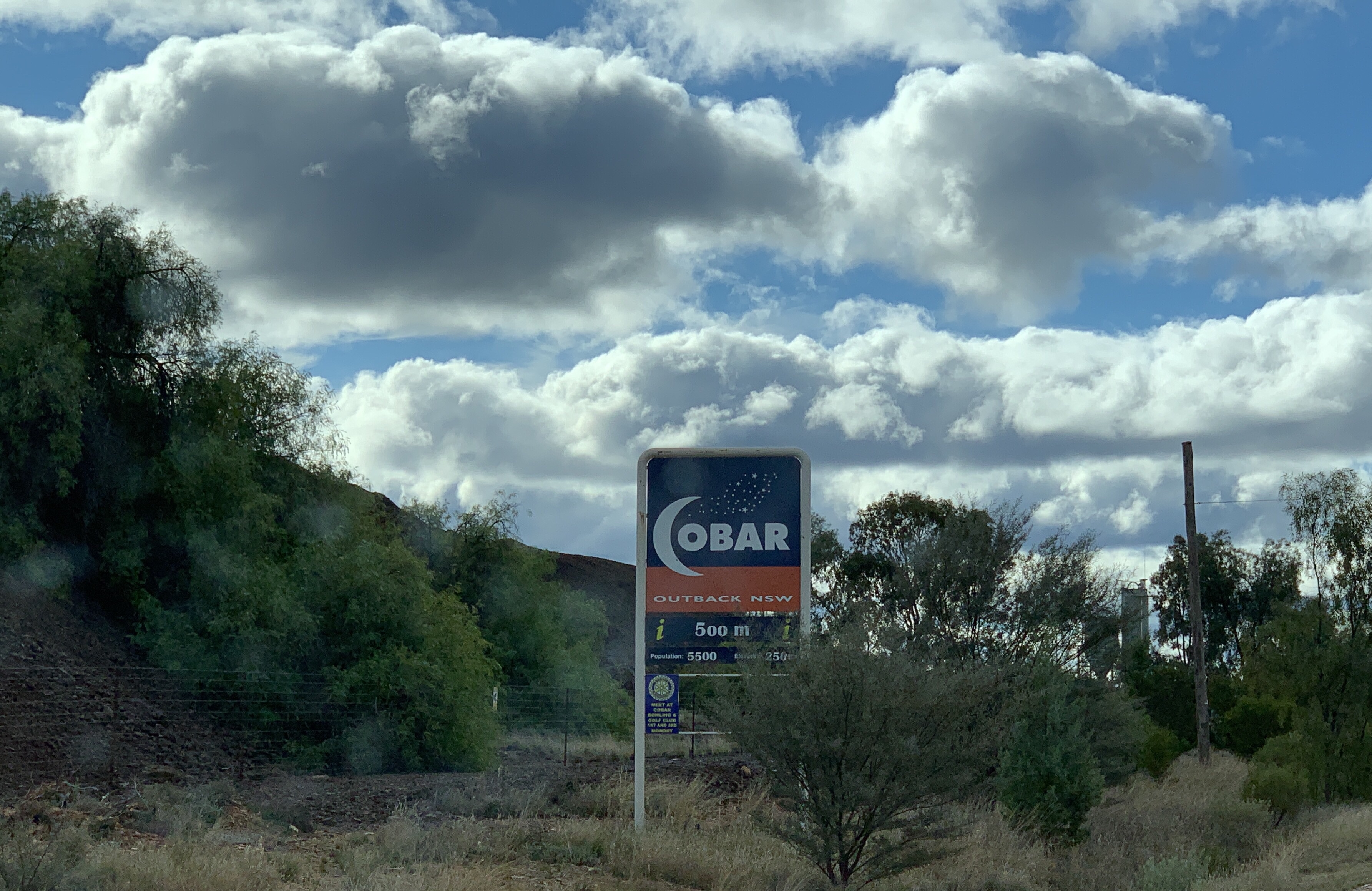

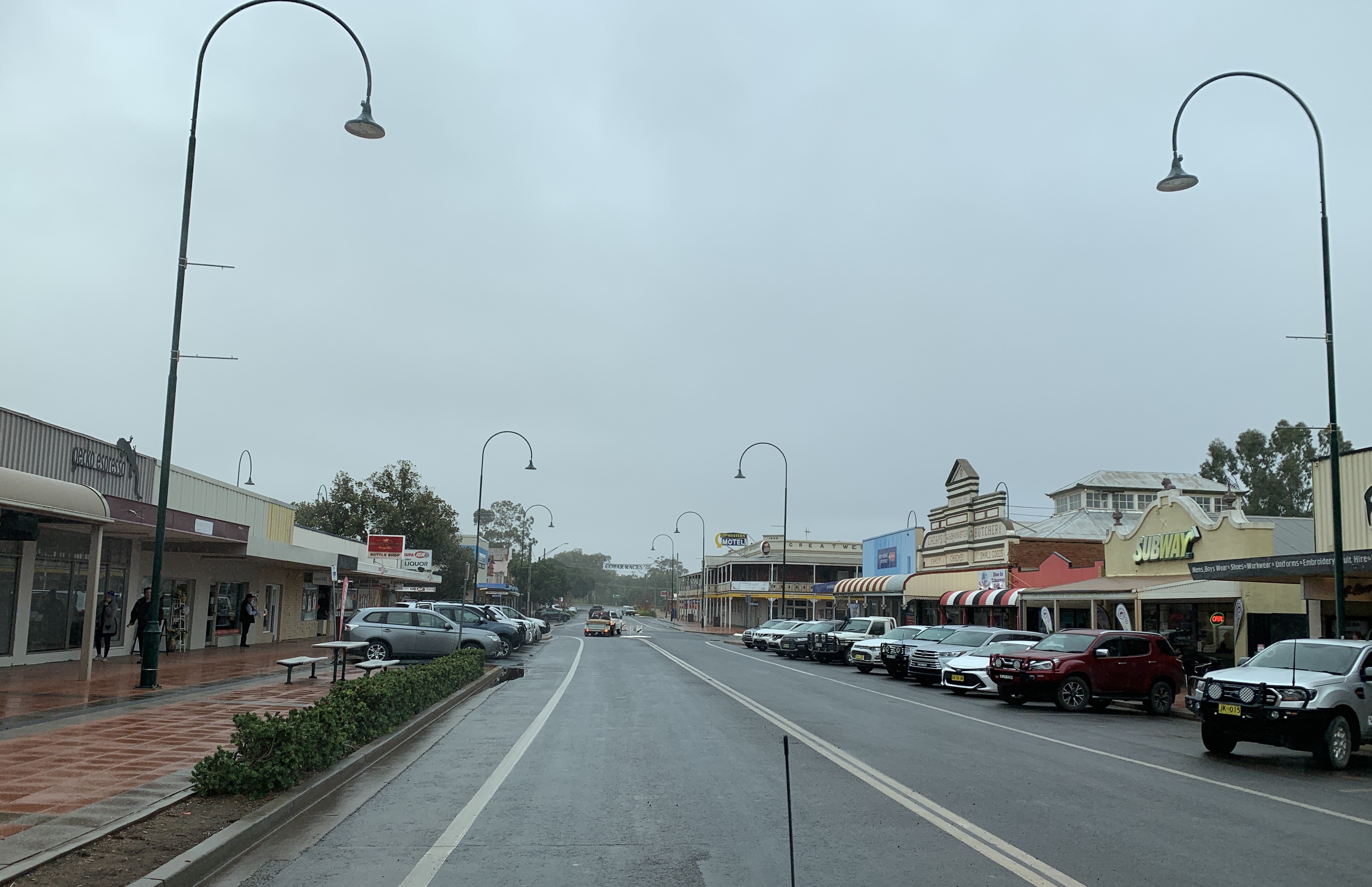
We continued on into Cobar and had to stop at the famous Cobar sign and take the obligatory photo. I thought it turned out pretty well.

I was very disappointed to find the Cobar Heritage Centre and Museum is currently closed for renovations. I was really looking forward to going to that. Oh well. We will just have to come back another time.
I wanted to go there for a special reason. Copper was first discovered in Cobar by three tank sinkers, Danes Ferdinand Emilius Kempf (known as Charles Campbell), Jens Arnholdt Gottfred Albrecht Hartman (know as Thomas Alfred Hartman) and Scotsman George Samson Gibb. The three of them were sinking a tank near the Kubbur waterhole where they camped overnight. They were impressed with the blue and green colours of the rocks and took samples with them.
They headed south and they met up with Mr & Mrs Kruge (remember them from Gilgunnia?). Now Mrs Kruge was a Cornish woman who had worked at the copper mines as a girl. She recognised the samples as being copper and this was confirmed by her husband Henry Kruge in his forge at his blacksmith shop.
Tank sinking was forgotten and Campbell, Hartman and Gibb set off for Bourke to lodge a claim. They lodged their 40 acre claim on the 10 October 1870. This was the beginning of the Great Cobar Copper Mine.
Why is this special to me? Ferdinand Emilius Kempf is my great great uncle. His sister Olivia Ricki Wilhemina Kempf is my great great grandmother.
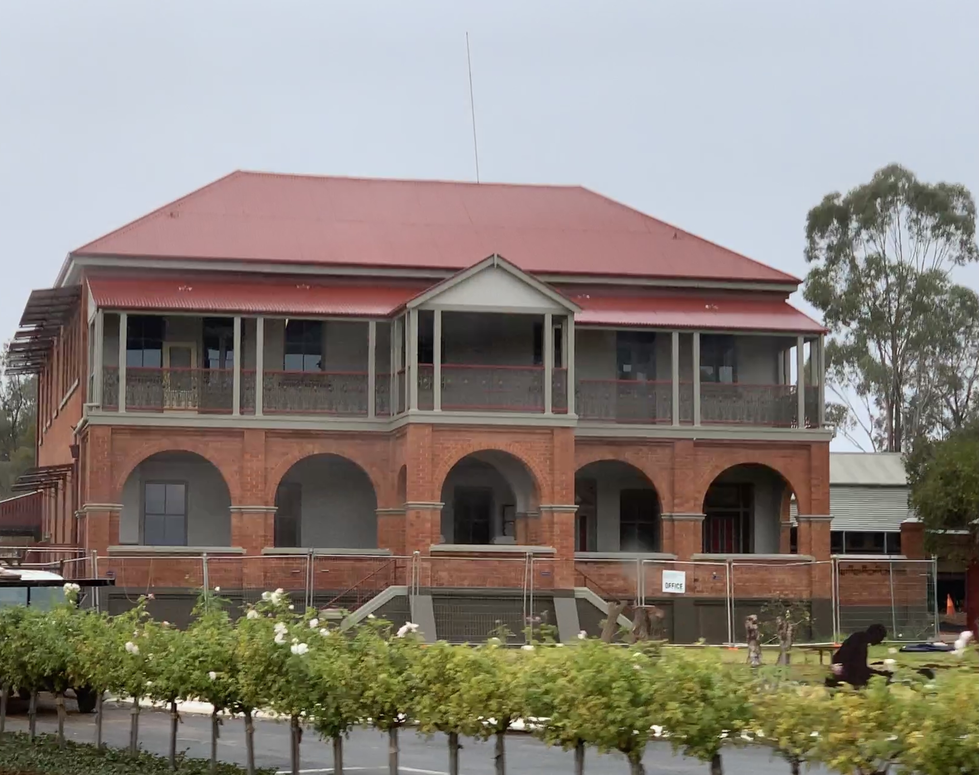
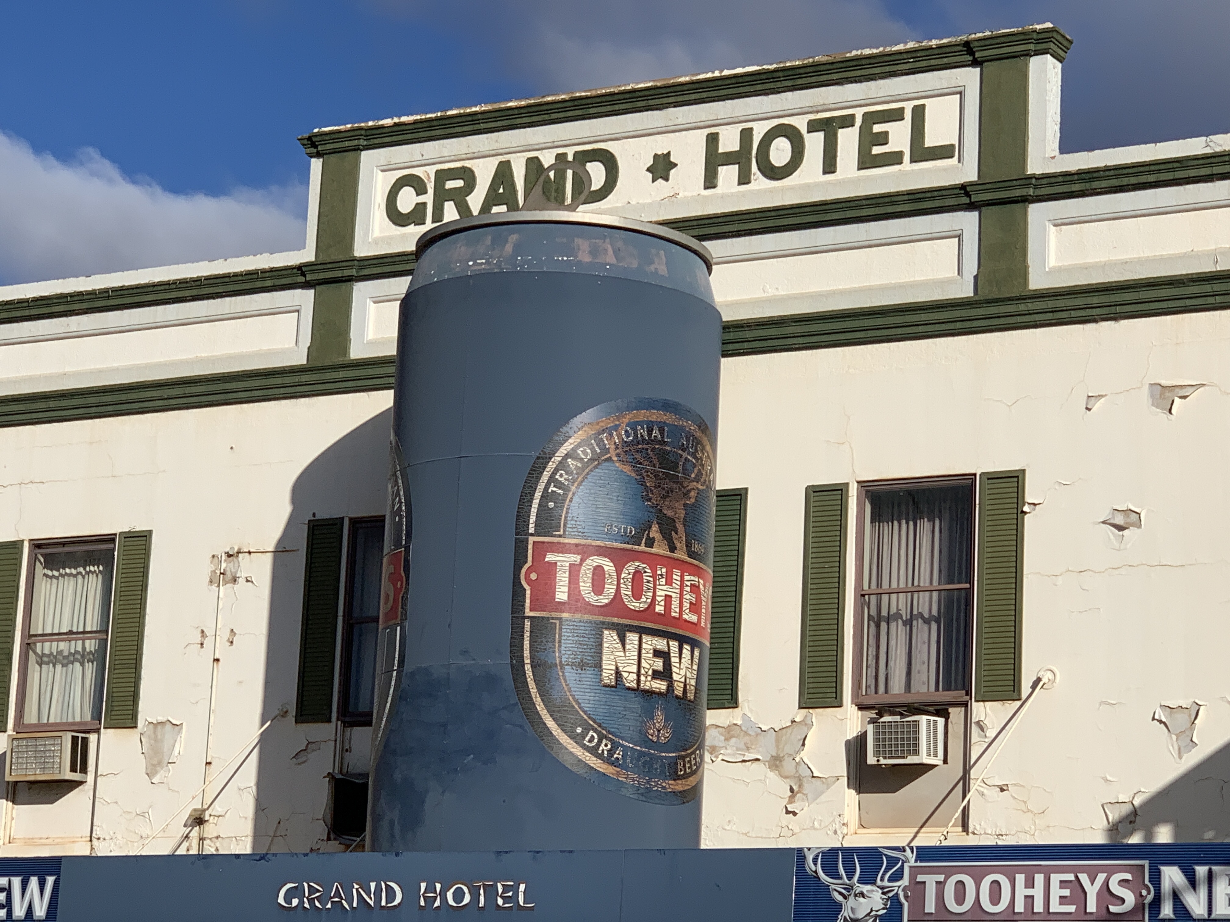
We had a drive around town and found another ‘big thing’…..the Big Beer Can on the roof of the awning of the Grand Hotel.
We found a tyre shop in Cobar and they were able to fix our valve extension. We bought a couple of spares as well. Our TPMS is happy now.
Our camp for the night is a free camp at the Old Reservoir just north of town. This is a large flat area next to the large dam that was once the town water supply. There’s a lot of other campers here too. I don’t know why people would choose to stay in the other free camp in town that is right next to the main road!

BRB here we come!
After passing my Light Rigid driving test in the morning, saying a goodbye to my mum, and having our tyres checked, we set off from Griffith in the early afternoon towards Hillston.
When we arrived in Hillston we noticed our Tyre Pressure Management System (TPMS) was showing one rear tyre down to 55 psi so we called in at the local tyre joint to get it checked. While we were parked under their awning the big storm that we’d seen building as we neared Hillston finally opened up and down came the rain. It poured rain for about 15 minutes, then it eased off, then it hailed for a few minutes. I’m glad we were parked under the awning when the hail came down. It sounded so loud on the tin roof.
The tyre fitter couldn’t find anything wrong with the tyre so put it back on and pumped it up. We thought we might just stay overnight in Hillston in case the tyre decides to go down again and we would be close to the tyre joint however when we arrived at the little caravan park we found they were completely booked out. What to do?
As we still had a bit of daylight left we decided to head north and maybe make it to Mt Hope. It was not to be. We only went about 20km out of town and the tyre was going down rapidly so we turned around and headed back to Hillston.
We had passed a Rest Area just before arriving in town, opposite the Airport so went there and found a flat spot to camp for the night. We were going to get a bit of truck noise as it was close to the road but we didn’t have much choice. The free camp next to the Lachlan River was a no go after the rain storm had turned the track to mud.
We’d have to get the tyre looked at again in the morning.

GVM Upgrade – what’s involved?
Well, what a process this has been! We purchased our 2013 Avida Esperance in 2016. It had done 33,000km at the time. As we have traveled we have added things to it such as an extra water tank, removed the tiny 150W inverter and installed a 1000W inverter, added a couple of 12V points and fitted a washing machine under the lift up bed. We have also taken out the microwave and are having a cupboard made to fit in the space it left behind. We have also had the large bottom drawer in the kitchen rebuilt and fitted with heavy duty runners as the ones that were original were just not up to the job.
We have made these changes as we have found over time that we prefer to camp in more remote places, mostly off the grid. Nothing beats being in a fabulous spot all by ourselves camped by a river, on a point overlooking a lake, next to a beach where we can hear the waves crashing or just in the bush where we can sit around our little fire pit.
To camp like this we needed the extra water, the larger inverter and we never used our microwave as it required 240V power. Instead we used it as a bread bin! It will be better to have the useful cupboard space instead.
Another thing we have purchased, but are yet to use, is a second cassette for our toilet. We bought it as we didn’t want to be camped in a great spot and be forced to pack up and go just to empty the cassette. We find we only get 3-4 days out of one cassette as we use our toilet all the time. We were limited by the amount of fresh water we can carry but we now have 180L on board. At roughly 15L per person per day this means we can camp out for 5-6 days. We can even stretch this to a week if we are really careful with our water usage.
Having made all these changes we were concerned that we would now be overweight. The GVM on our registration is 4495kg and the tare is 3790kg. That only leaves room for a small payload of 705kg and this has to include us, all our water, our fuel, food and clothing, wood, tools, my kayak, the washing machine, wine, our two heavy ebikes on their rack and all the other stuff we think we need. On our last trip we were able to test this as we came across an unmanned weighbridge in SA that is free for travellers to use. This was too good to pass up and as we drove onto the weighbridge a digital display on a pole in front us gave our weight as 4890kg. Almost 400kg overweight! We had just filled up with fuel and water in the previous town so this gave us a really accurate measurement of what we truly weigh most of the time. It was time to investigate upgrading our GVM.
Silly me! I thought this would be a reasonably straightforward process. When Avida import the Iveco chassis they build the motorhomes on they can choose to have the lower 4495kg rating or the higher one of 5200kg. The Iveco 50C can be rated at either. I’m guessing it is to enable the motorhome to be driven on a car licence that they choose the lower rating. However then you come across the same problem we find ourselves in.
I researched the internet to find out what to do to upgrade the GVM and there was lots of information but most of it was conflicting. OK so first up I contacted Avida, the manufacturer of the motorhome. They helpfully replied and said I need to contact Iveco and gave the contact details. I then contacted Iveco and they forwarded my details to the nearest local Iveco dealer which just happens to be in Wagga Wagga 200kms away. The fellow there was helpful and completed an online form which then was sent to Iveco who then sent a Rating Confirmation Letter saying that the vehicle could be rated at either weight. The dealer suggested I take this to Service NSW along with the rego papers and they should be able to process the change. This Rating Confirmation letter cost $231.
Well going to Service NSW was an experience……..NOT. The lady I spoke to there had no idea what was needed and had to contact another department. Apparently they were all at a meeting so she suggested she give me call when she knew what the process was. I did some further research of the Service NSW documentation and found that I may need an engineers certification. After asking the mechanic who looks after our motorhome who in our area is certified to do an upgrade to Light Rigid he gave me the name of a local engineer.
Luckily, when I called the engineer, he was coming to Griffith in a few days and would call out to our place and do the compliance check. He did this, took lots of photos and would send the certificate and modification compliance plate once completed. This was duly sent along with an invoice for $650.
Next step was to take all the documentation to Service NSW along with a completed Change of Details form and have it processed. Sounds simple really! Alas a rule change has meant that ALL vehicles over 4.5t now have to have National Heavy Vehicle plates and the plates were on the motorhome which was down at the mechanics. So off to the mechanic to get the current plates from off the vehicle and back to Service NSW. Finally GVM upgrade was processed and new NHV plates were issued.
The next step was to get a heavy vehicle pink slip. Our mechanic was able to do that and, as the motorhome was in for a service, he was able to do the pink slip at the same time.
Back again to Service NSW and rego was renewed for another year. When we get back from our next trip I will need to order an Auxiliary plate for our bike rack.
As the motorhome will be rated as Light Rigid I will need to upgrade my licence to Light Rigid as well. Richard already has a Light Rigid Licence so I am able to drive it as long as Richard is in the vehicle ‘supervising’. This might be OK most of the time but there are occasions where I drive it on my own so an upgrade to my licence is needed. This involves sitting for an online Driver Knowledge Test at your local Service NSW. I downloaded the test questions from their website and practised the online test a few times before booking a test time online. I’m happy to say I passed that one with 100%. Really the only questions that I needed to learn were the ones related to trucks, loads, heights etc. The other questions are really just general road knowledge and if you’ve been driving for as long as I have you should know those already.
The next step is the Driving Test and that is booked at the time you pass the Driver Knowledge Test. You can take the test in your own vehicle so was able to do it in the motorhome. I’m happy to say I passed the test and now have a Light Rigid licence.
What a long winded process but I’m happy it is done now and we can travel knowing we are within our legal weight limits.
Where to next?
I’ve mentioned it before that I love to research and plan our future trips. So where are we going next?
We are off to the Big Red Bash in Birdsville Qld. The Big Red Bash is a 3 day music festival held out in the Simpson Desert alongside the giant sand dune known as Big Red. Each year some 10,000 intrepid campers set off for this outback event. It had long been on our bucket list and when it was announced in 2019 that Paul Kelly was to be the headline act for the 2020 Big Red Bash we just had to get tickets for that. Sadly, due to the COVID-19 pandemic sweeping our world the 2020 event was cancelled however the organisers let us know that our tickets would carry over to 2021. So here we are in 2021 and it looks like the event we’ve waited so long for will go ahead.
Our original group of Red Bashers has changed a little and we are now a group of 8 couples who will meet up in Birdsville on Saturday 3 July. We come from all over NSW and Queensland and will make our various travels to meet up at the Birdsville Common. We have all purchased 2 day Early Entry tickets and to be able to camp together as a group we must all roll in together on the Sunday. Our group consists of 7 caravans and our motorhome.
So what’s our planned route?
We plan to leave home on Thursday 17 June and head to Birdsville via
– Cobar
– Bourke
– Cunnamulla
– Charleville
– Blackall
– Barcaldine
– Longreach
– Winton
– Boulia
– Bedourie
We will have a week at Birdsville and then our group will split off in different directions. We plan to head north to Mt Isa for a few days and then further north to Gregory and Boodjamilla National Park where we have booked to stay at Adels Grove Campground.
The trip home from there is still in the planning but may include a visit to Carnarvon Gorge.
Our group has called ourselves ‘BRB Makin’ Memories’ and we have our fishing shirts to go with it. Don’t they look fabulous? We won’t lose each other with these on! Only 7 more sleeps!


Our planned journey
Apple TV in our Motorhome
On our recent trip following the Murray River and exploring the amazing Silo Art in Victoria we took our Apple TV with us. Neither of the 2 TV’s in our motorhome are SMART TV’s and in the past when we wanted to watch a movie or TV show on Netflix or Stan it was a complicated process to connect my iPad to the RV Wifi (on an old phone), connect it to the TV with an HDMI cable and then open Netflix app on the iPad and watch it on the TV.
The Apple TV has made this a much easier process. The Apple TV connects to the RV Wifi network and just plugs into the HDMI point on the TV. The power cord has to be plugged into either a 24V power point or the inverter power point. Then you just watch the Apple TV the same as you do at home. We found on this recent trip as long as we had at least one bar of mobile service we could watch something with no problem.
Our RV Wifi network is set up on an old iPhone that we had lying around the house. It has a data only SIM from Aldi installed which uses the Telstra network and we set up the phone as a hotspot for all our devices to connect to. This works quite well except the the hotspot does turn itself off if it is not being used and you have to reconnect again. For this reason I have purchased a Netgear Nighthawk M2 and will give this a try on our next trip. This should make it easier as we won’t have to connect to the hotspot all the time as the Nighthawk will continually broadcast. I will let you know how this works down the track.
