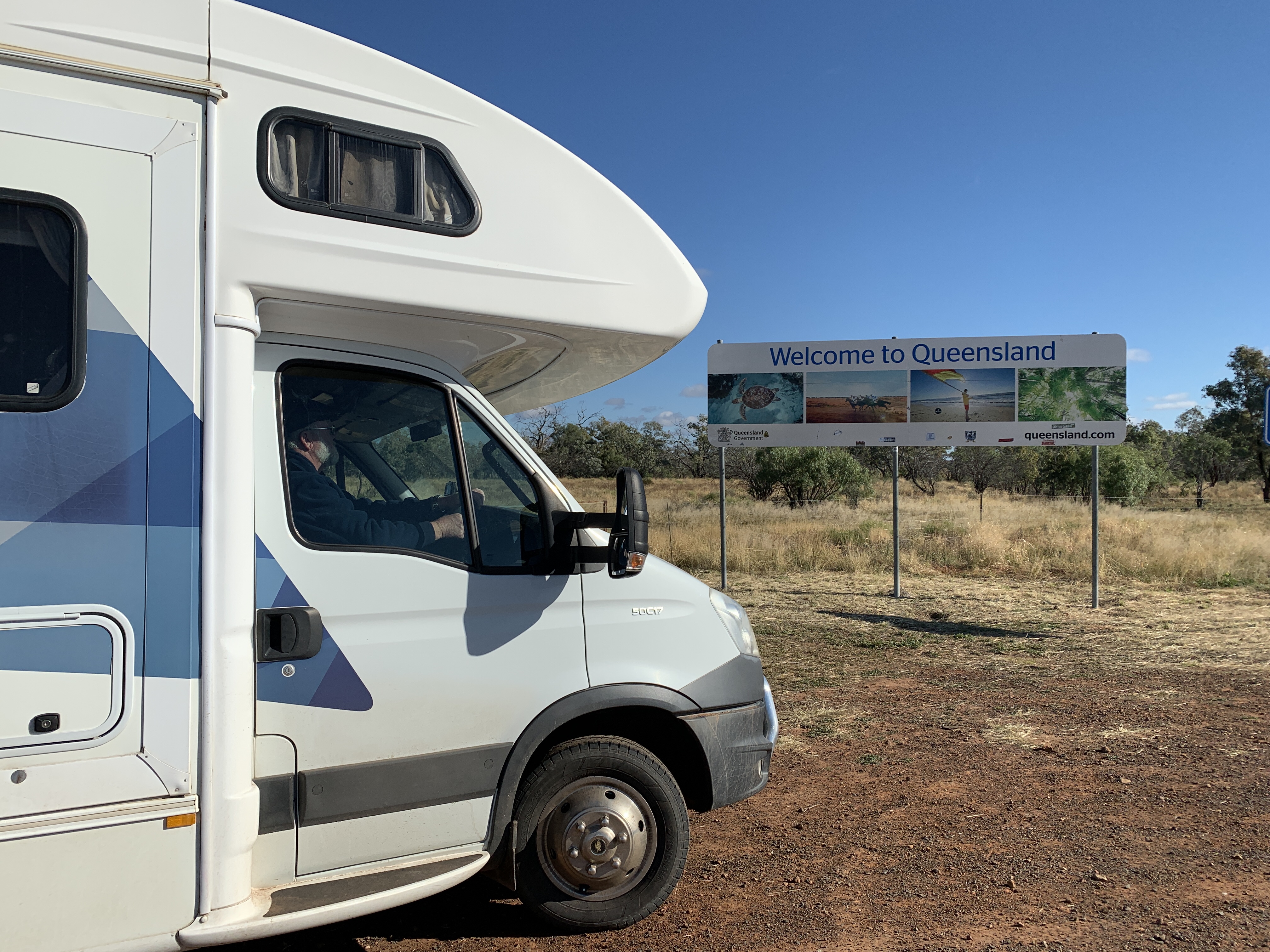
We set off excitedly from our great overnight camp alongside the Darling River at North Bourke. This day we would cross the border into Queensland.
Travellers into Queensland must apply online for travel passes and I had done that a couple of days ago however I received a text from the Qld Govt to say our travel passes had been revoked because there was now a new Covid-19 hotspot in NSW. This meant we had to apply for passes again. They were granted immediately as we hadn’t been in any hotspot area so we were now able to cross the border.
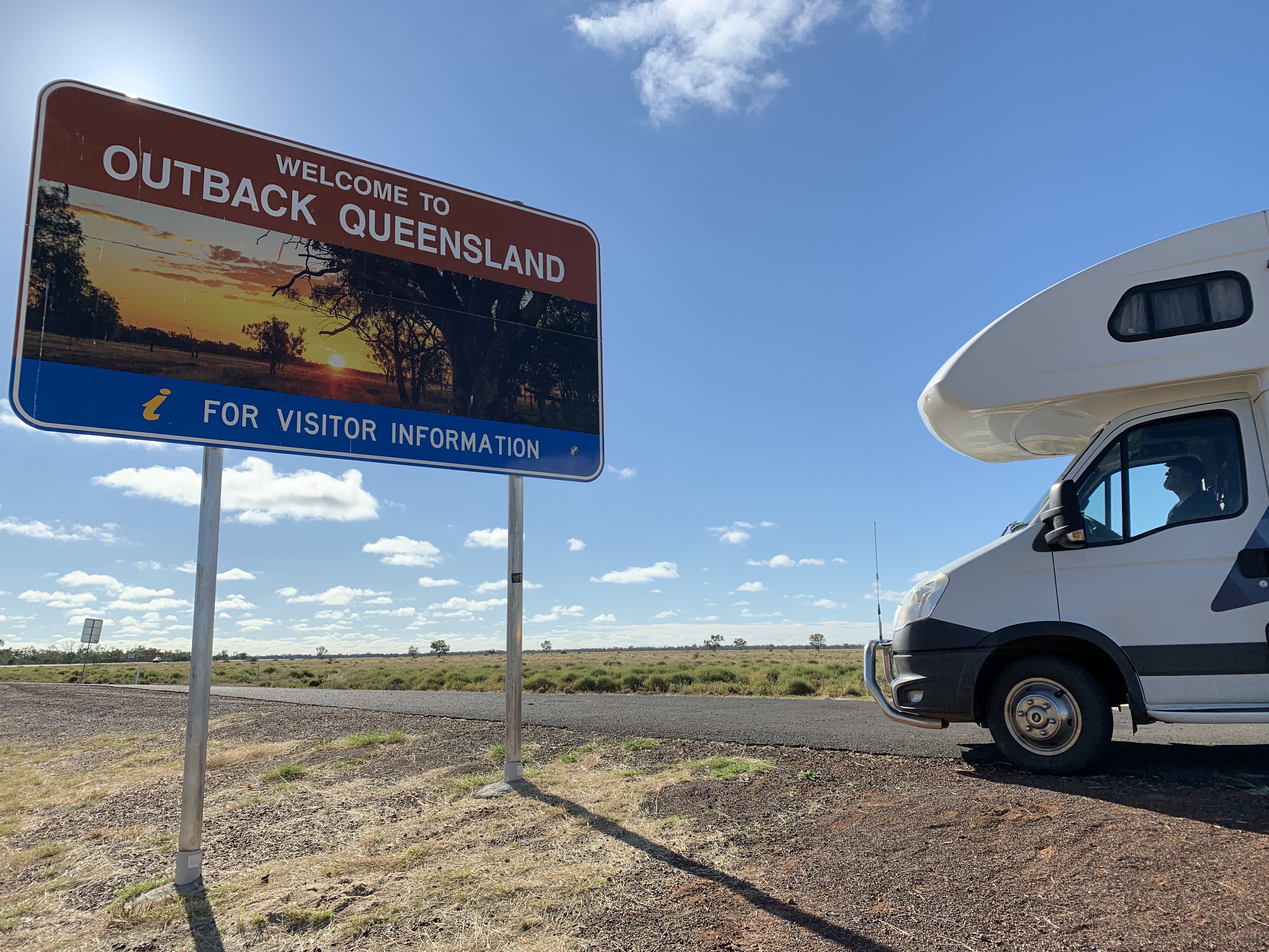
The countryside between Bourke and Cunnamulla is very flat and the road is long and straight. We didn’t see much livestock, only a few goats and Emus. When we reached the border at Berringun we stopped to take photos of our border crossing. There were no officials manning the border to check if we had the correct travel pass.
On the Queensland side of the border was a large billboard with stories about the Exclusion Fences. These fences are built to keep wild dogs away from valuable livestock. Each year wild dogs are responsible for killing or maiming tens of thousands of dollars of livestock and the fences are part of the control management of these pests. One famous fence, usually called the Dingo Fence, is 5,500km long and stretches from near Dalby in Qld to the Great Australian Bight in South Australia.

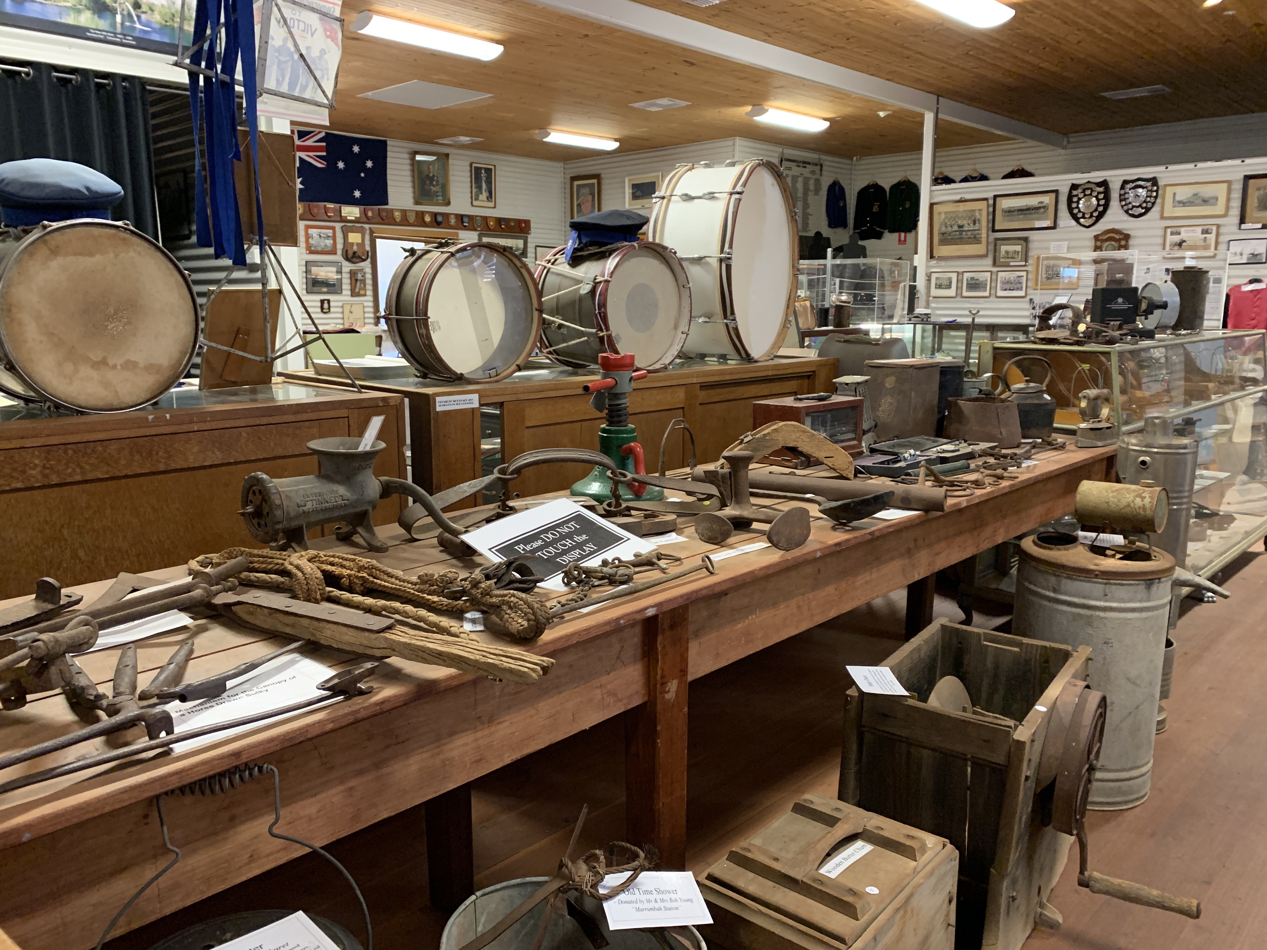
We arrived at the the small outback town of Cunnamulla around 11.30am and went directly to the Visitors Centre where we were just in time for the next screening to the Great Artesian Basin movie. This great little movie talks about how the basin was formed over time, the indigenous usage of the water, the explorers, early pioneers and settlers, the sinking of bores and the current scheme that incentivises property owners to cap their bores and use pipes to prevent wastage of this precious resource. It was a very informative little movie.
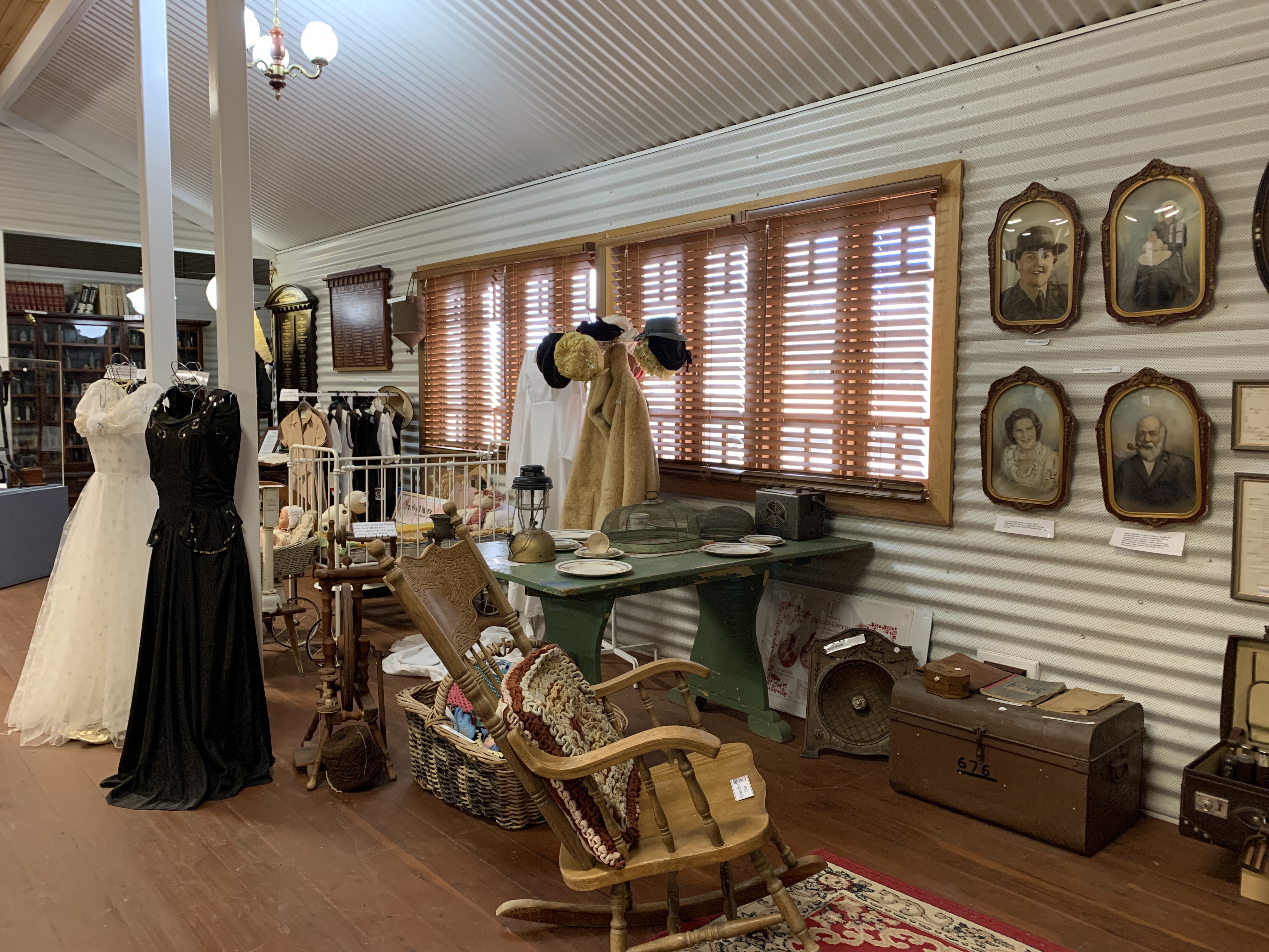
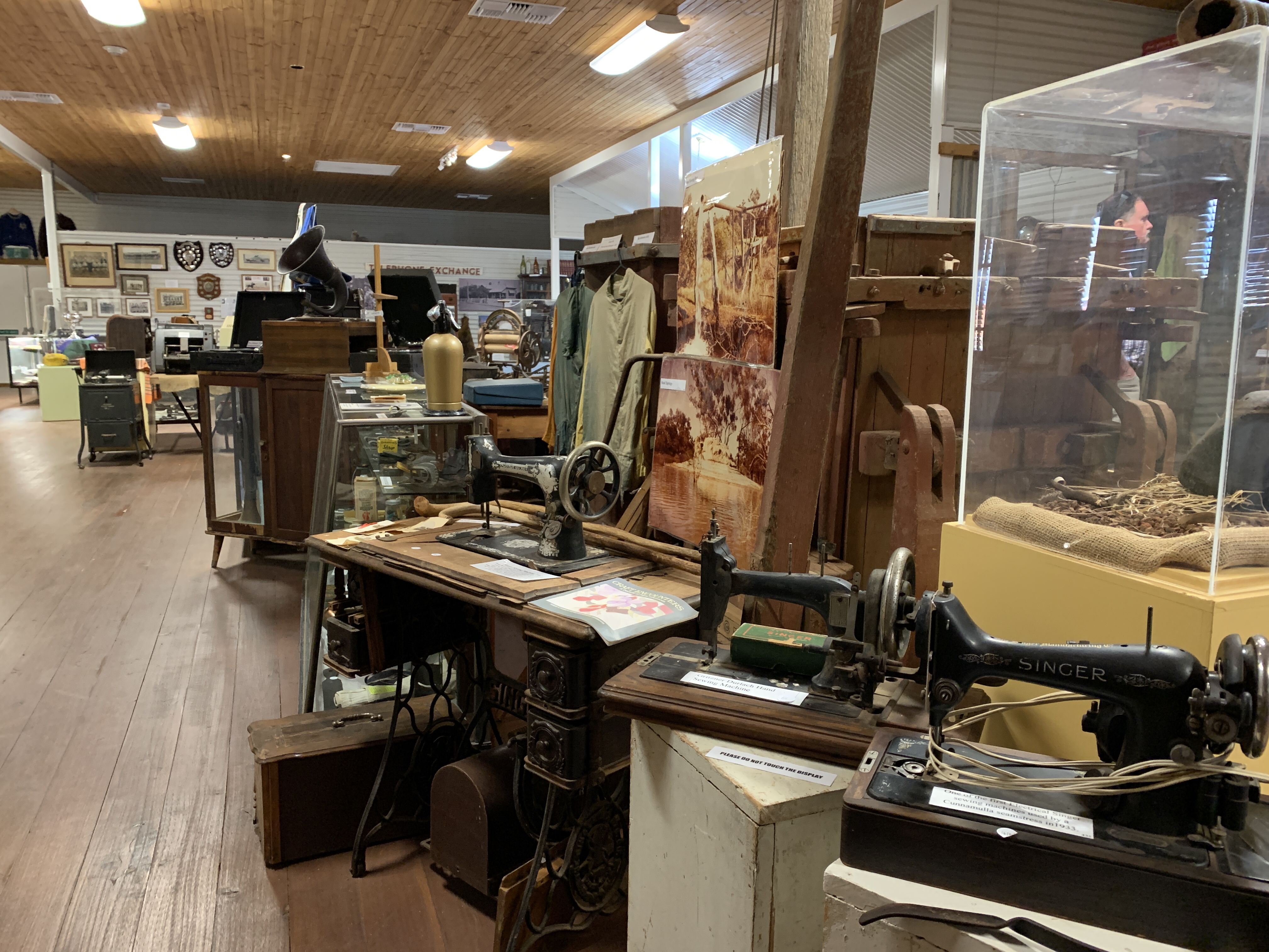
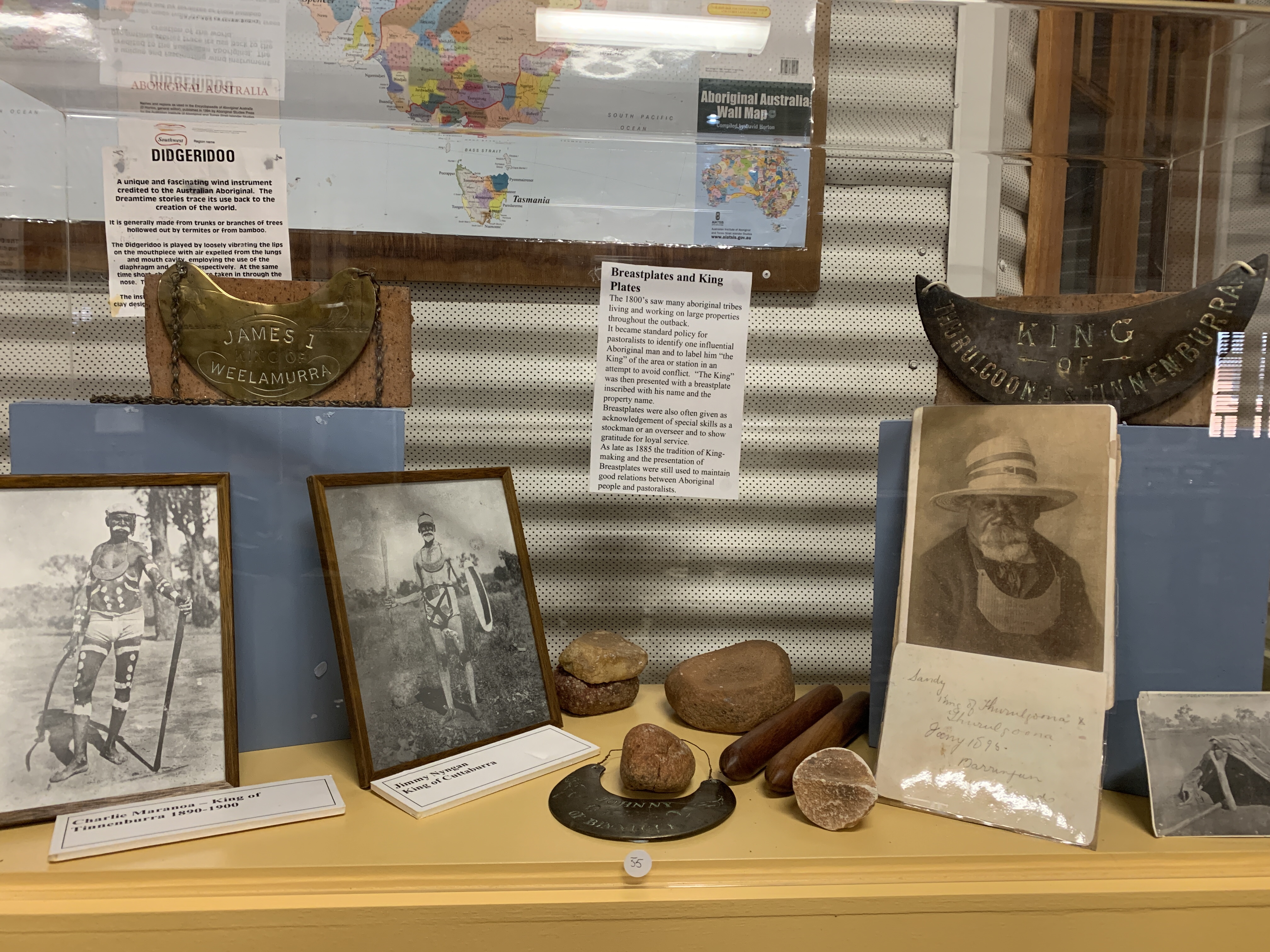
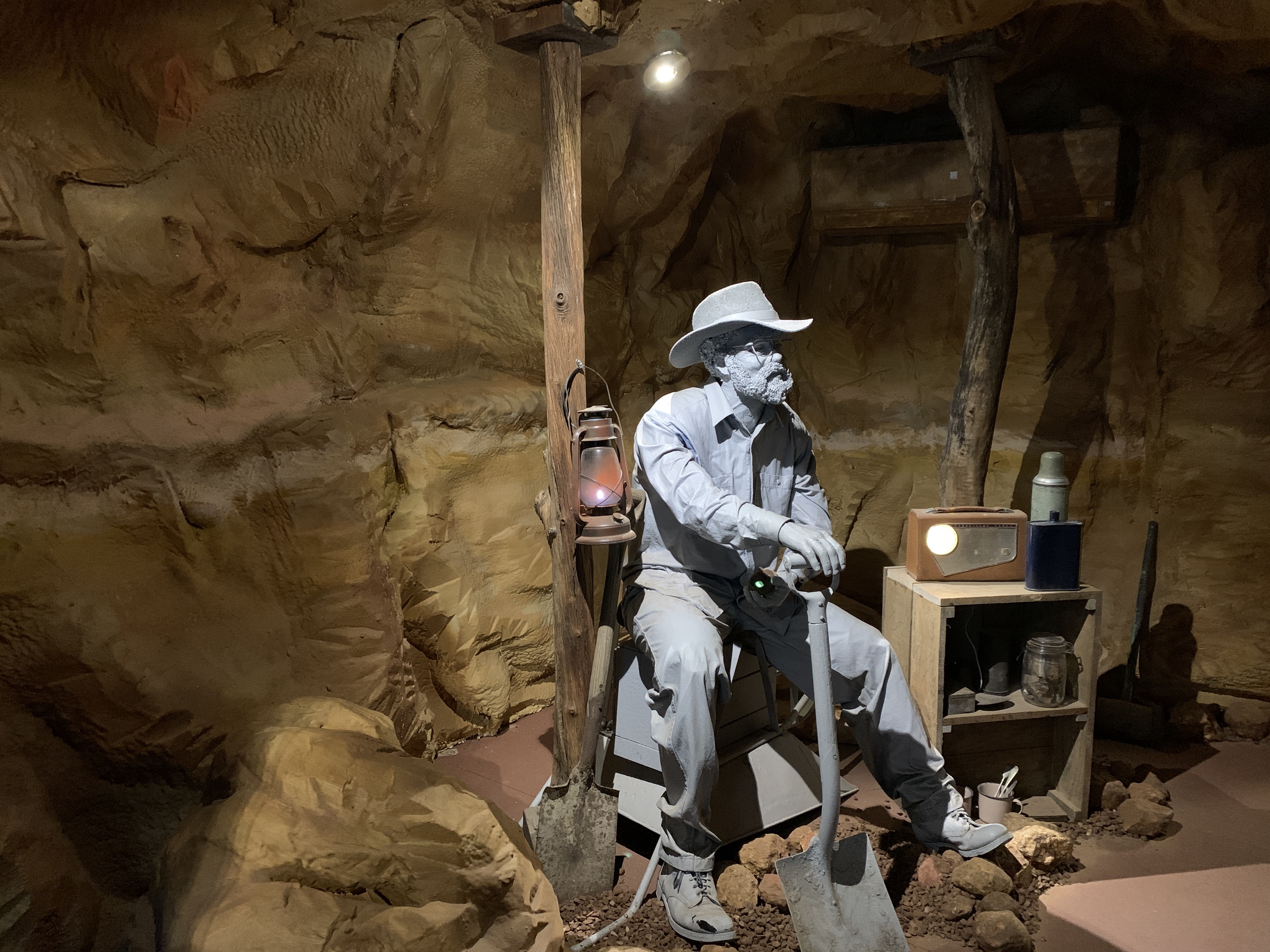
The Visitors Centre also houses a fabulous collection of memorabilia and it is well displayed and labeled.
The current show in the Art Gallery is works by Wayne Rasmussen. He has used the iconic road sign as the base for his works. We see these road signs everywhere when we travel and they just become part of the surrounding environment. The artist has cleverly used different paint so when the paintings are viewed in different light you see something different. In normal light you see road signs, ones we see all the time however view them using a black light torch and you see a whole different painting in fluorescent colours. Quite clever!
The Visitor Centre is housed in Cunnamulla’s original school building built in 1885. It was repurposed as the Visitors Centre in 1995.


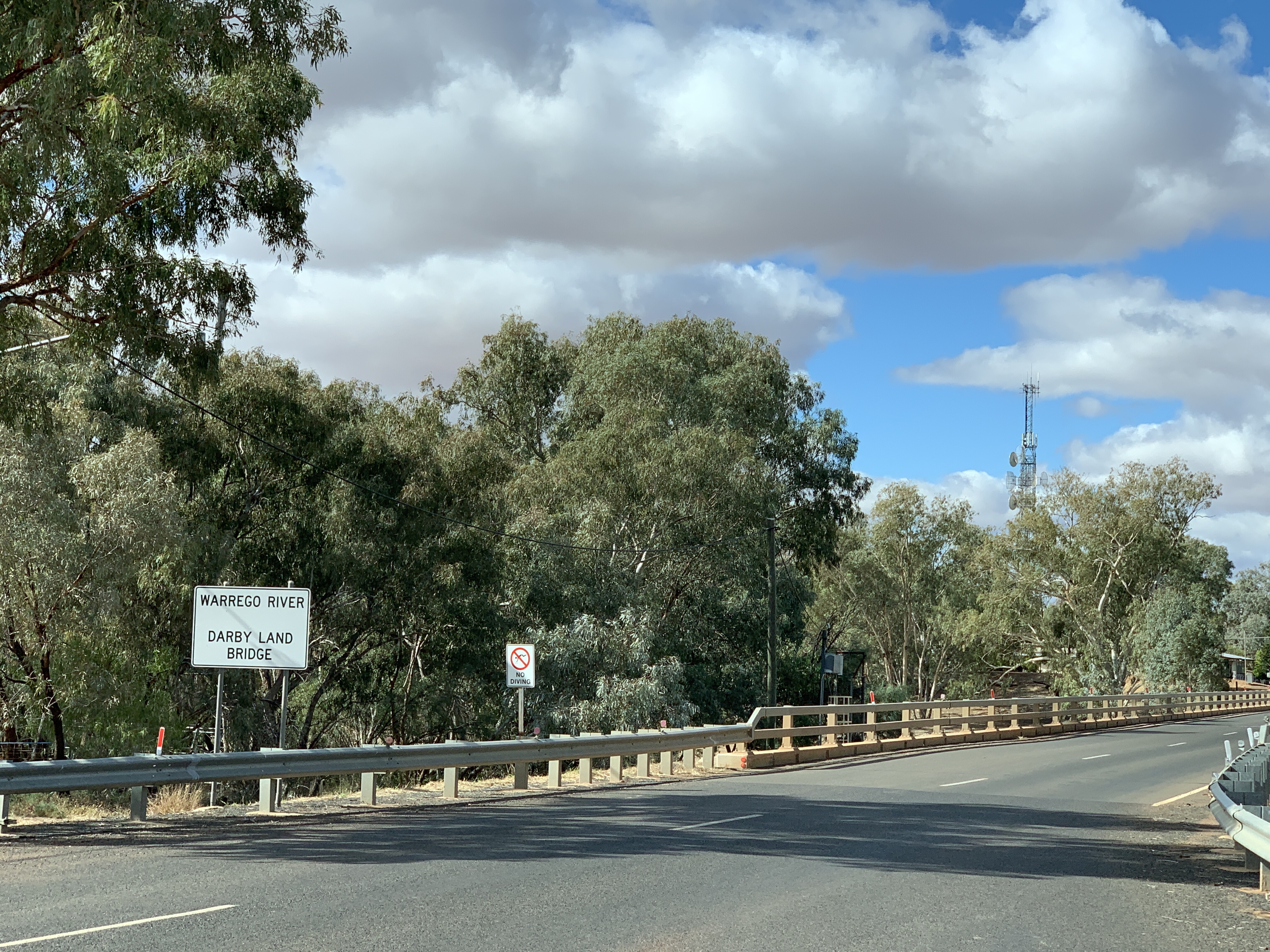
Cunnamulla is a small town on the Warrego River. The Warrego regularly floods and the town is protected all around by an 11m high levee bank. The town was originally a Cobb & Co stop established in 1879. Today it is home to some 1200 people, 37% of whom are Aboriginal or Torres Straight Islanders.

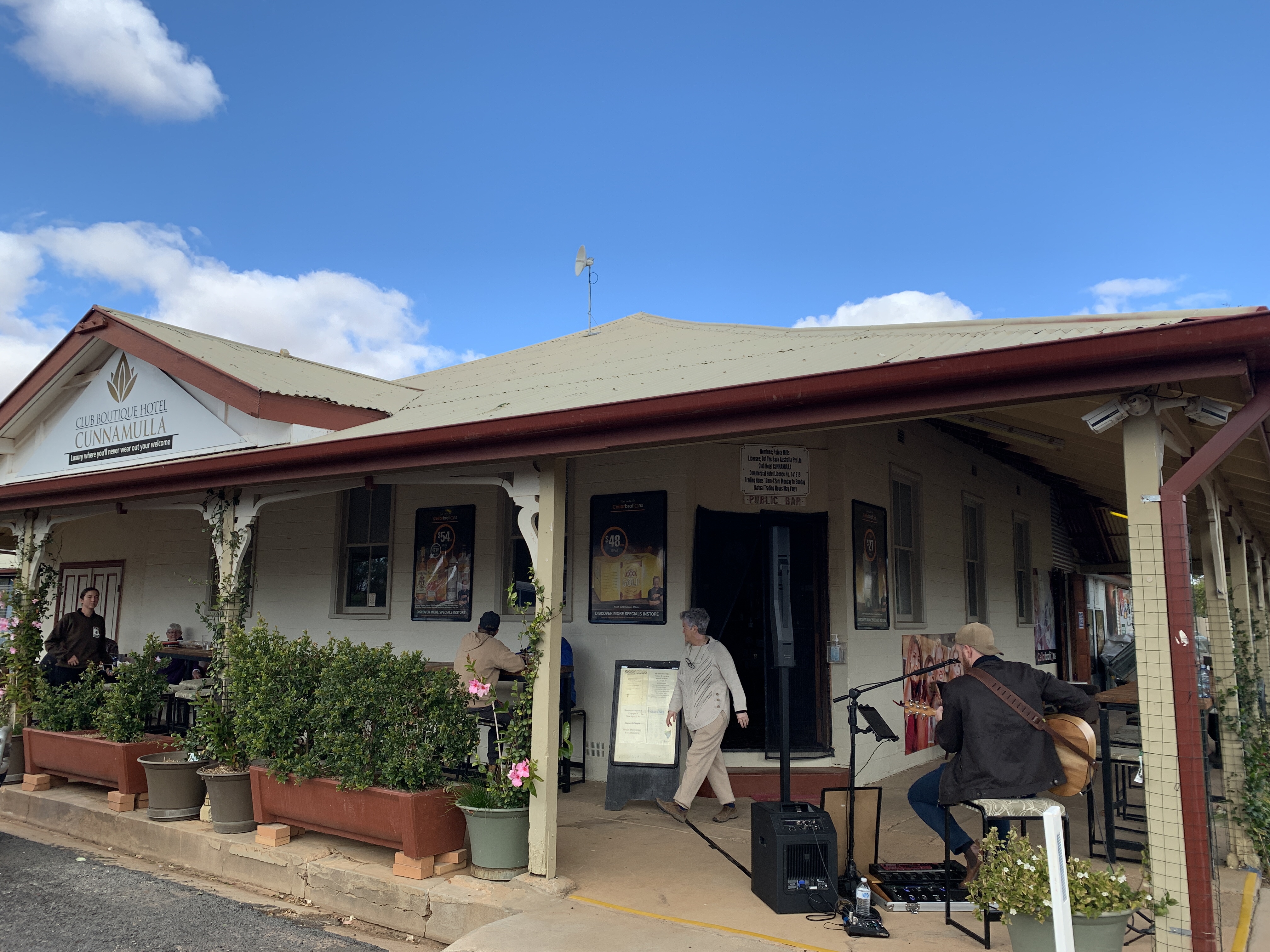
We left the Visitors Centre and went to the IGA to pick up supplies and by this time our stomachs were grumbling. We drove around and saw a pub that had a nice verandah and looked busy with diners. As an added bonus there was also live music playing. We find that the busiest places usually have the best food and we enjoyed a couple of delicious steak sandwiches accompanied by the live music provided by a young bloke named Ken Dustin at the Club Boutique Hotel.
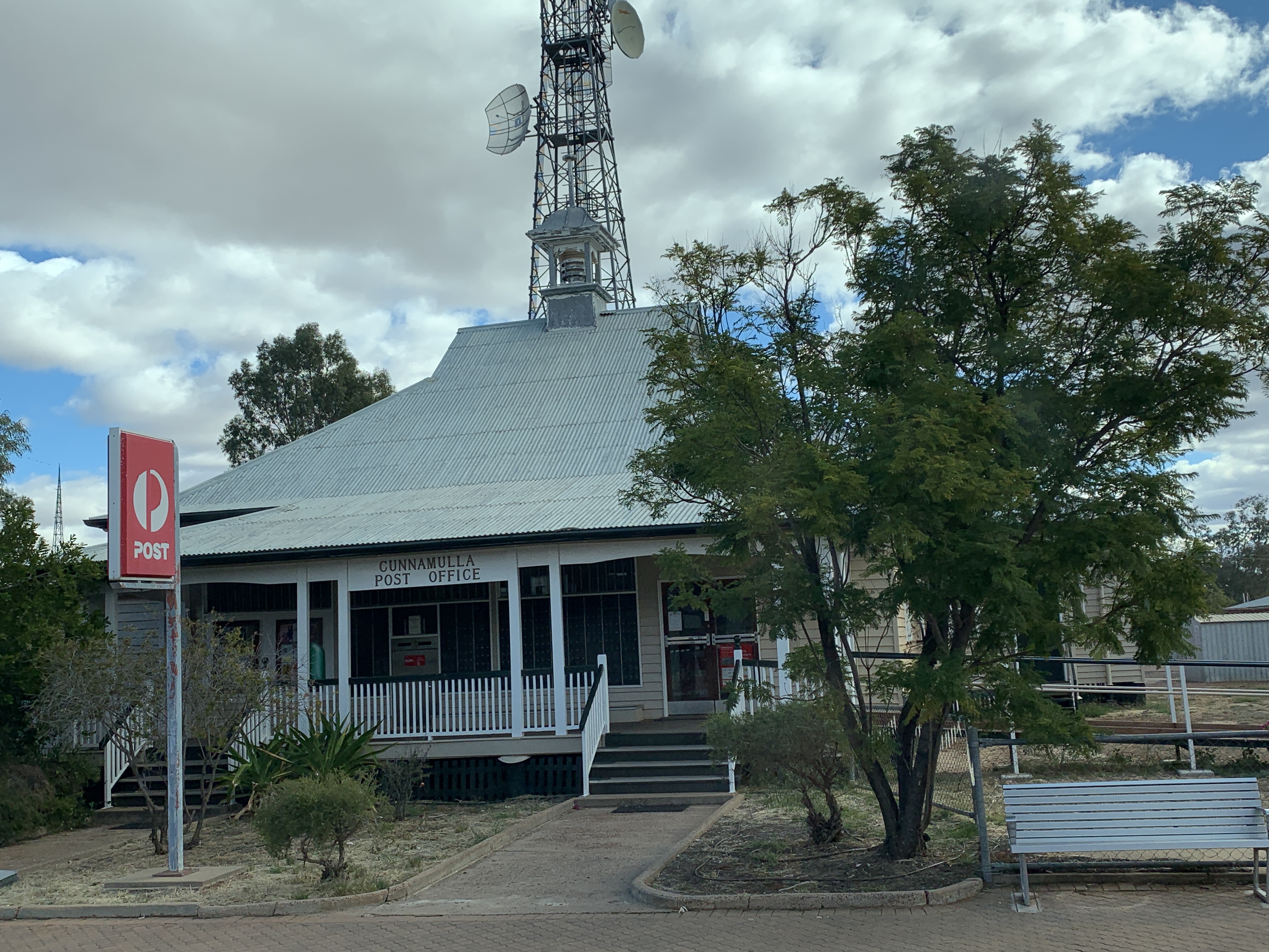
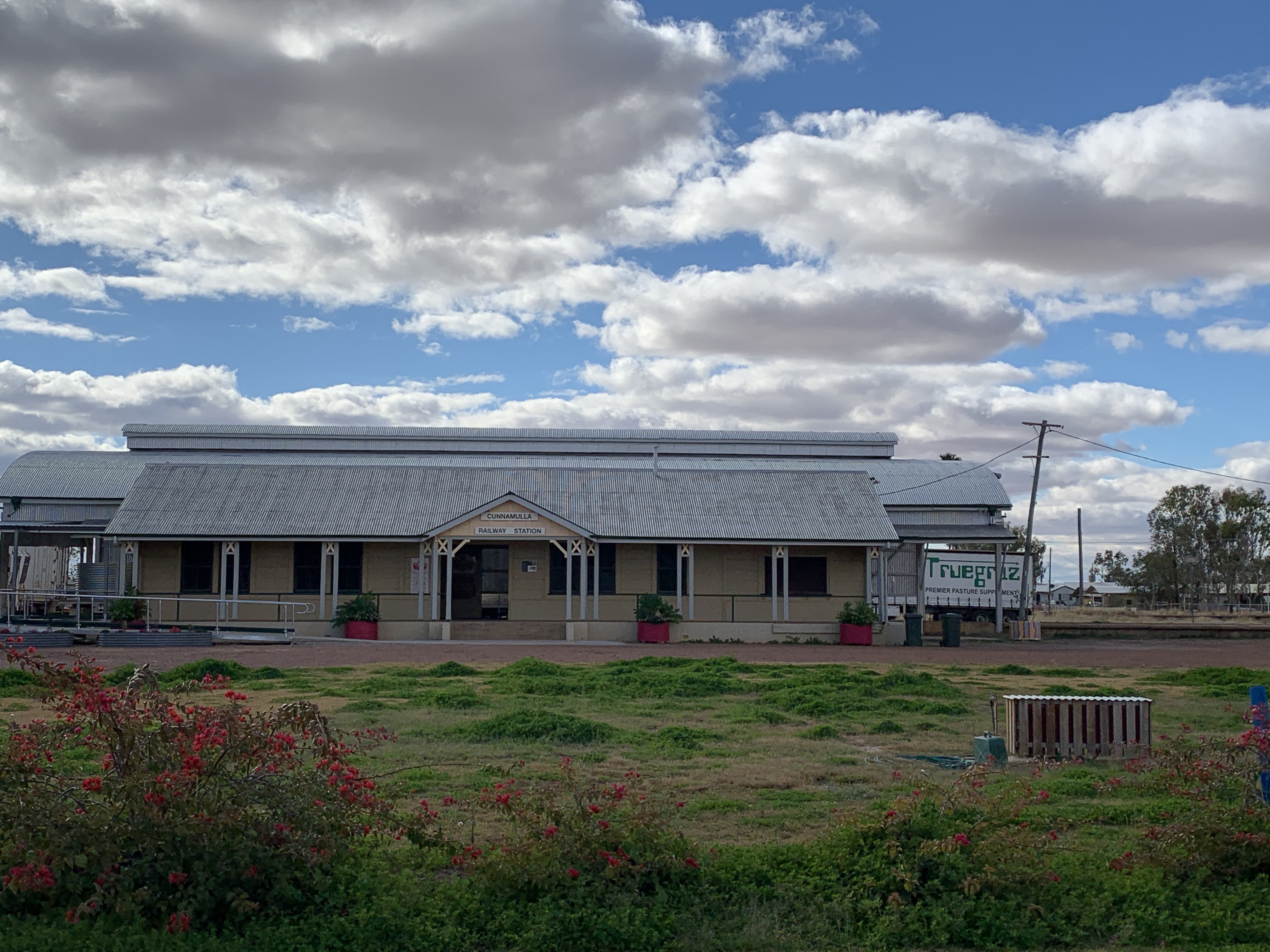
After lunch we drove around the little town and saw the Cunnamulla Fella, a statue of a swaggie immortalised in a Slim Dusty song called ‘The Cunnamulla Fella’, the old Post Office built in 1890 on the site of the Cobb & Co stockyards, the art nouveau Memorial Fountain built in 1919 to commemorate all the soldiers who died at Gallipoli, the painted water tower painted by artist Guido Van Helton depicting local children playing sport, and the old Railway Station built in 1930 that replaced an earlier building built in 1898 that was destroyed by fire.


Leaving Cunnamulla we got back onto The Matilda Way heading northwards again. Interestingly, the road in NSW is called The Kidman Way but once we crossed the border it is now called The Matilda Way. It was 100km of very flat countryside with long straight roads and only Emus. Does this sound familiar? The road was a pretty good wide tar road and there was not a lot of traffic. We swapped drivers and I was driving as we came to the tiny community of Wyandra. This enterprising little community offers a small caravan park with powered sites for $20 per night as well as a free (make a donation) camp in the large paddock behind the public school. There were quite a few vans and motorhomes already set up there as we drove by.
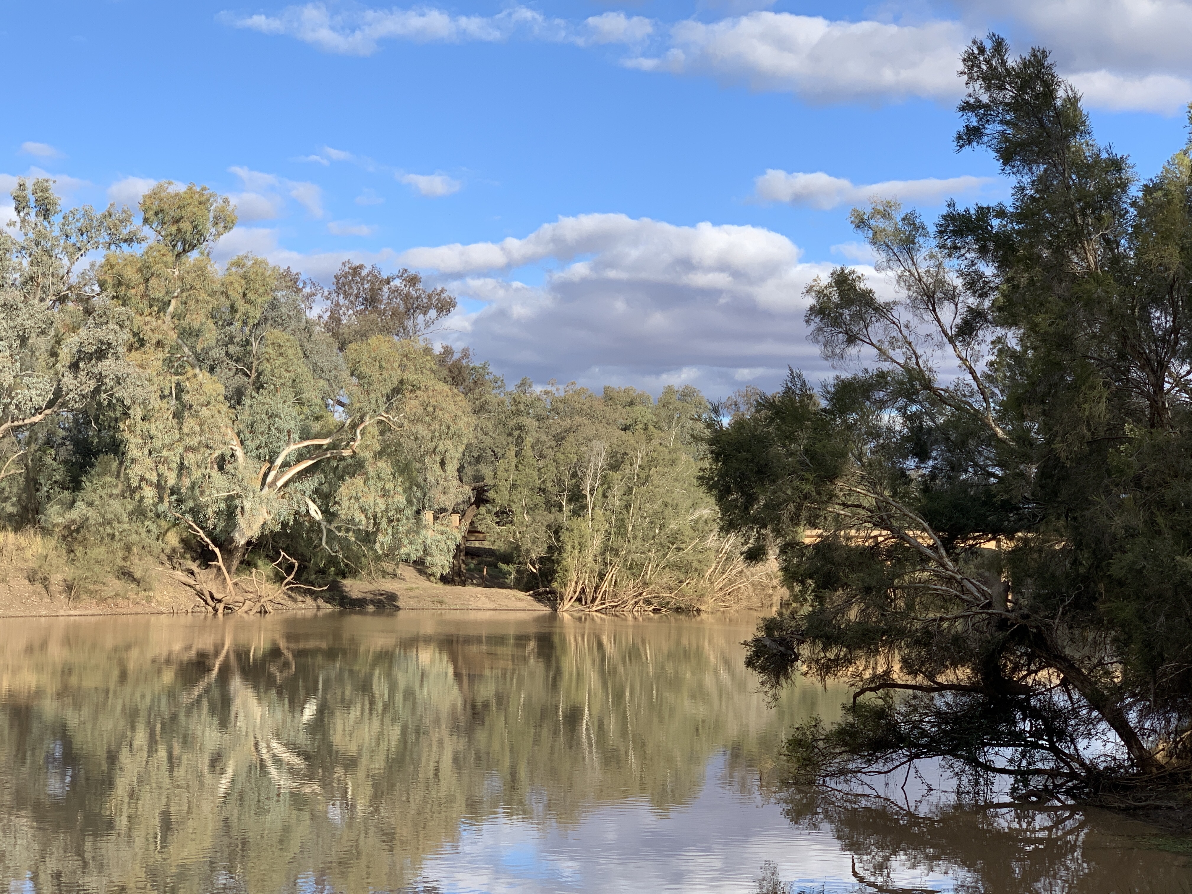
However this didn’t really appeal to us and we went a little further west, crossed the bridge over the very full Warrego River and saw a track leading off to the right. It looked like it might lead to the riverside so we parked up and walked down the track to check it out. Sure enough there was a perfect spot, just big enough for one RV like ours or two small vans. It’s obviously a popular camp site as there is evidence of multiple fires along the riverbank. We quickly set up camp and got a fire going. I wrote this post while sitting outside next to the fire and feeling the serenity of camping with a water view. I think that’s the best campsite….one with a water view.