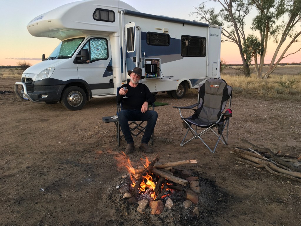
I had booked online for a tagalong tour of the Secret WWII Base and we had to be out at the Airport before the tour started at 9am. We had enjoyed our first stay in a CMCA RV Park and will definitely stay in one of those again. Such a bargain…a flat spot to park, a dump point, rubbish bin, potable water and happy hour around a campfire. All for $6 per night for two. If you are not members of the CMCA is costs more so why wouldn’t you become a member? It’s only $44 per year.
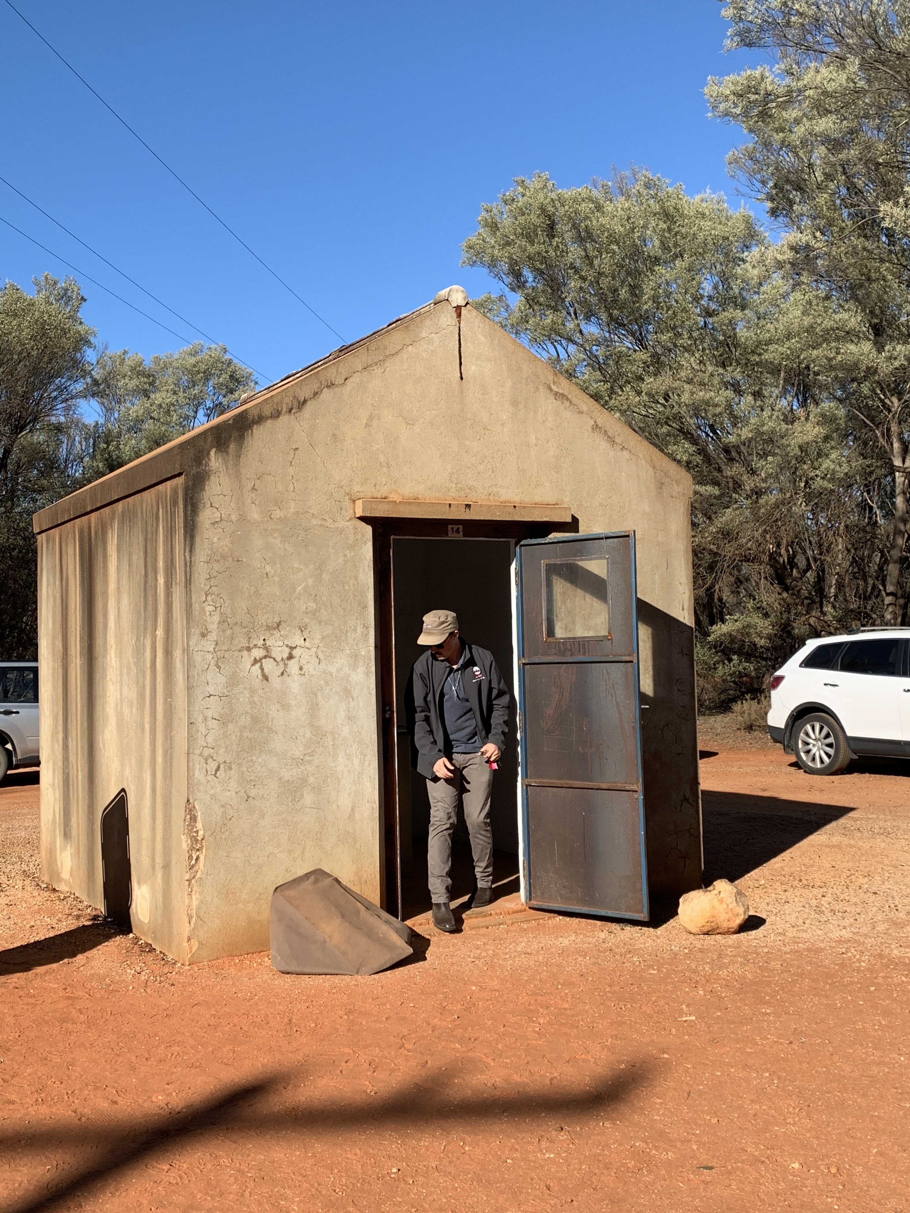
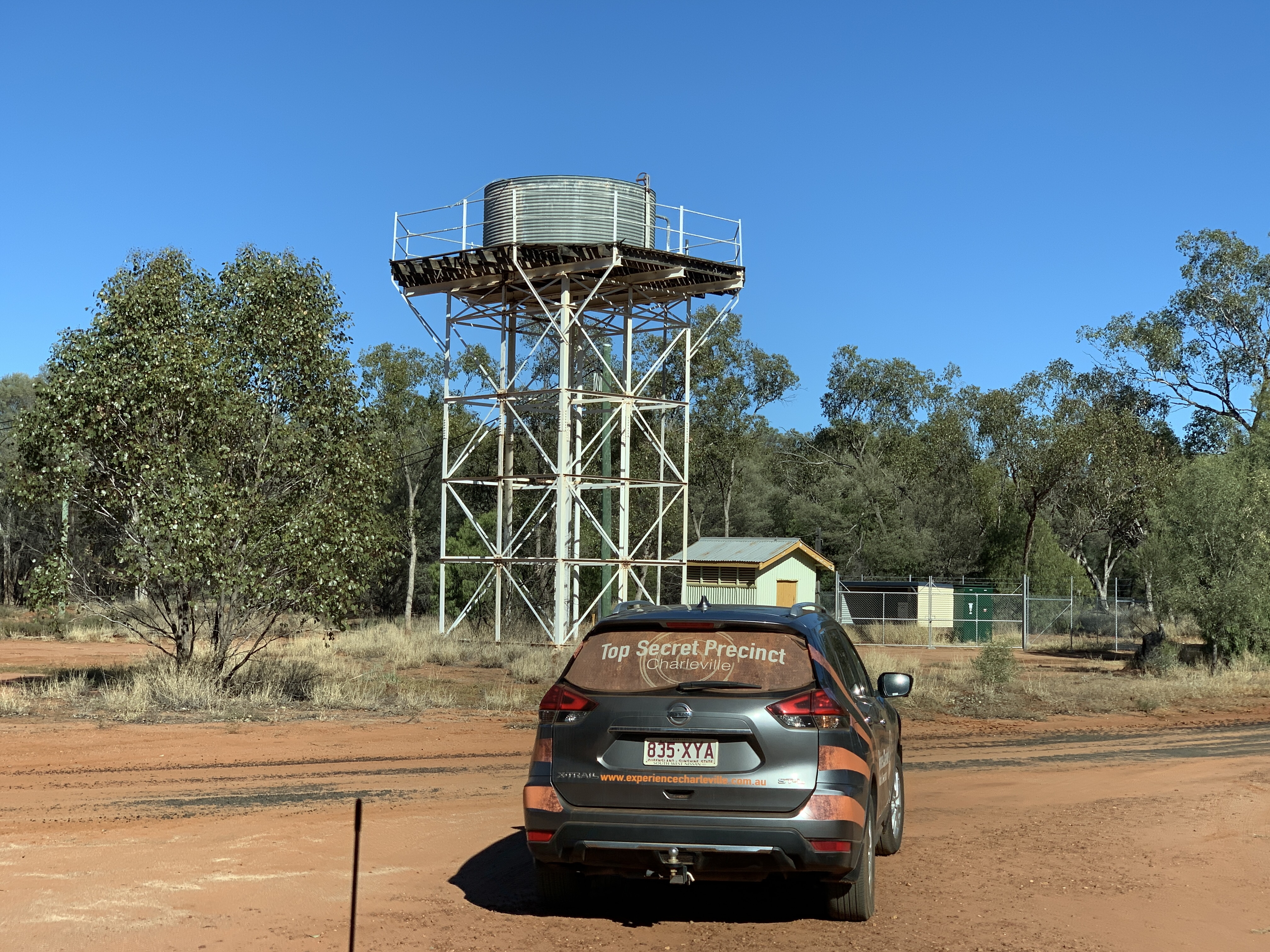
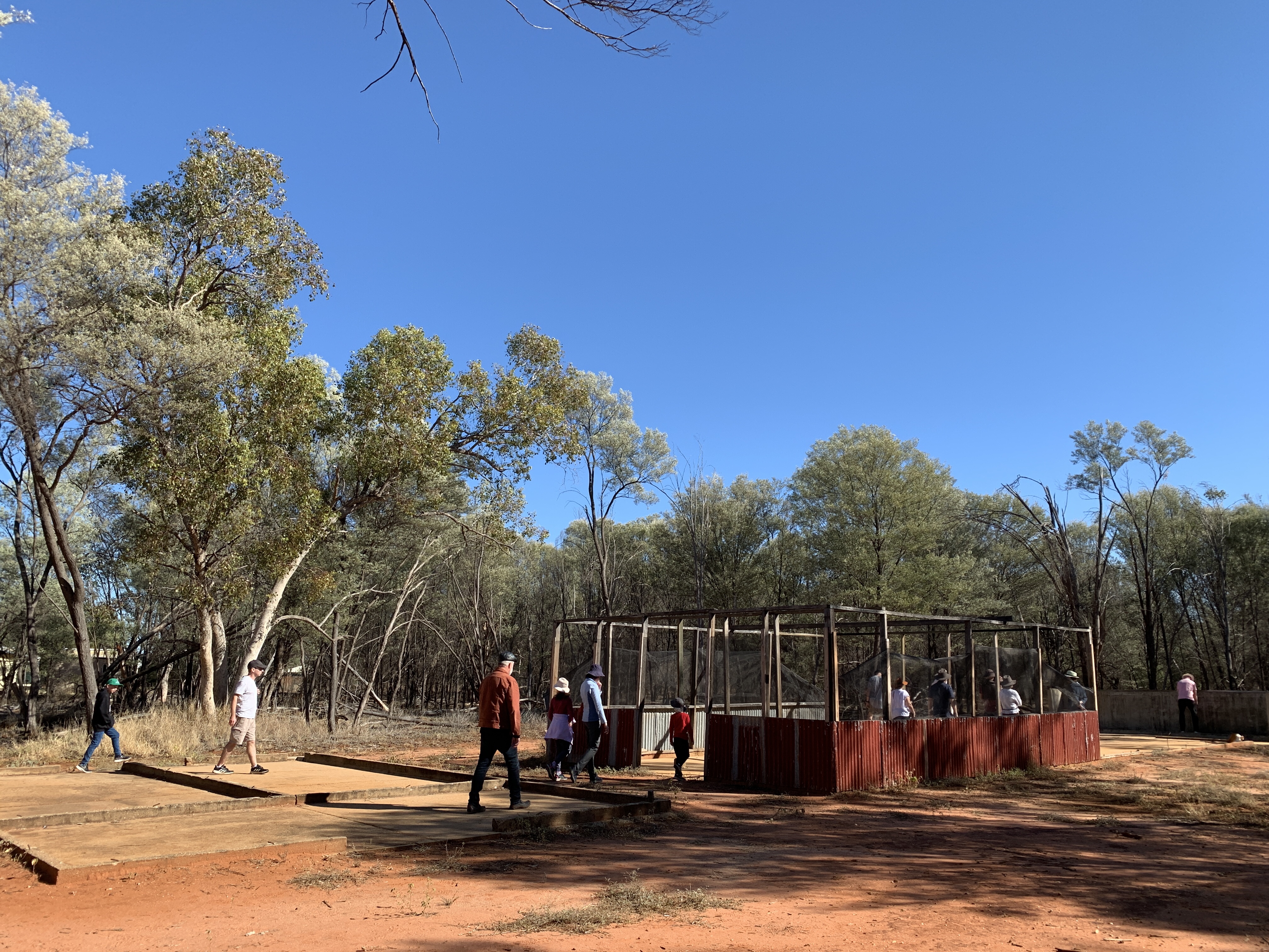
So we arrived out at the WWII Secret Base and parked near the main building. Not long after a little car drove up with Secret Base signage. A young guy hopped out and he turned out to be our tour guide for the morning. The way this tour works is the guide drives his car to each of the seven locations around the huge airport site and at each one he stops to give a talk about the significance of each location. Everyone follows in their own vehicle.
The Secret Base was a United States Army/Air Force base and during the war around 3,500 US servicemen were stationed there. Why was it secret? And why was it built in Charleville?
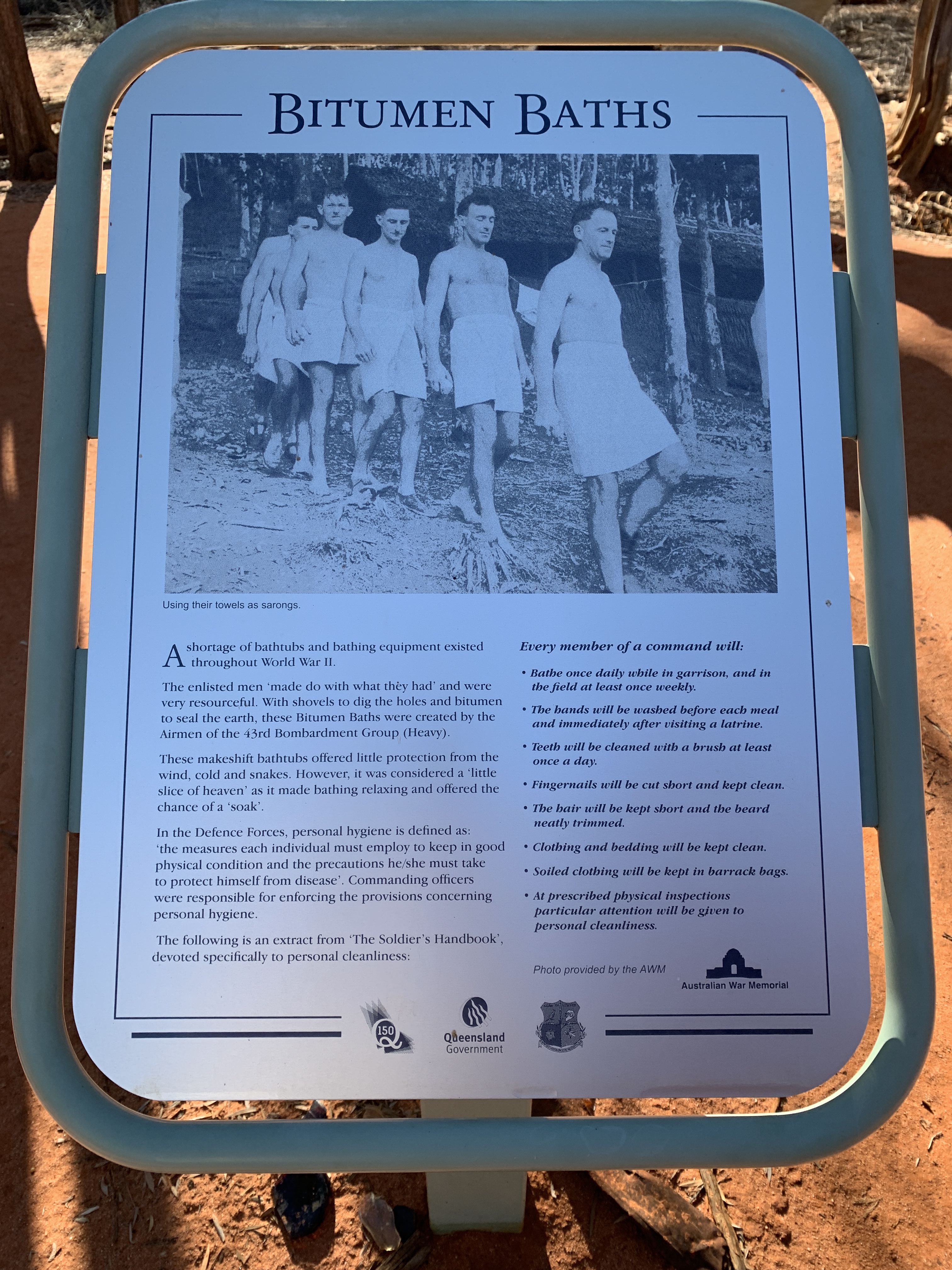
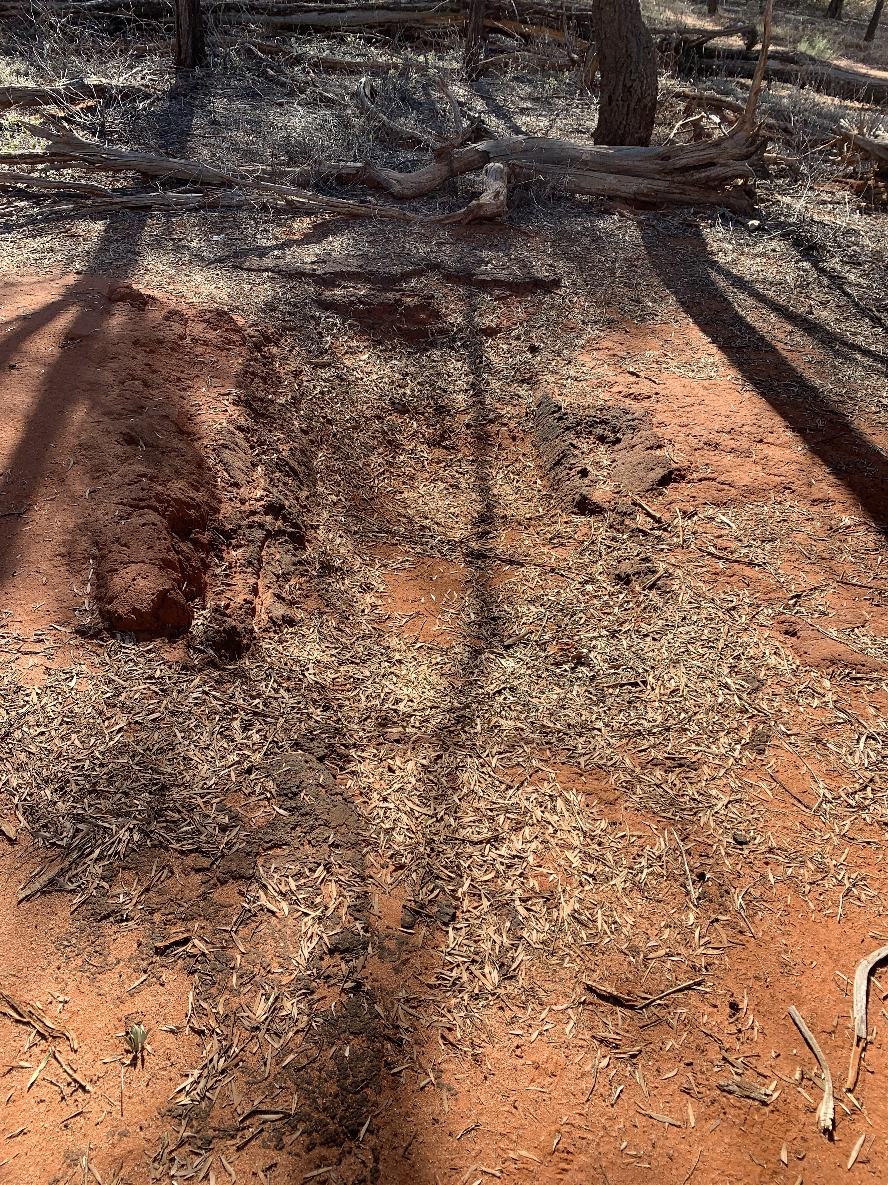
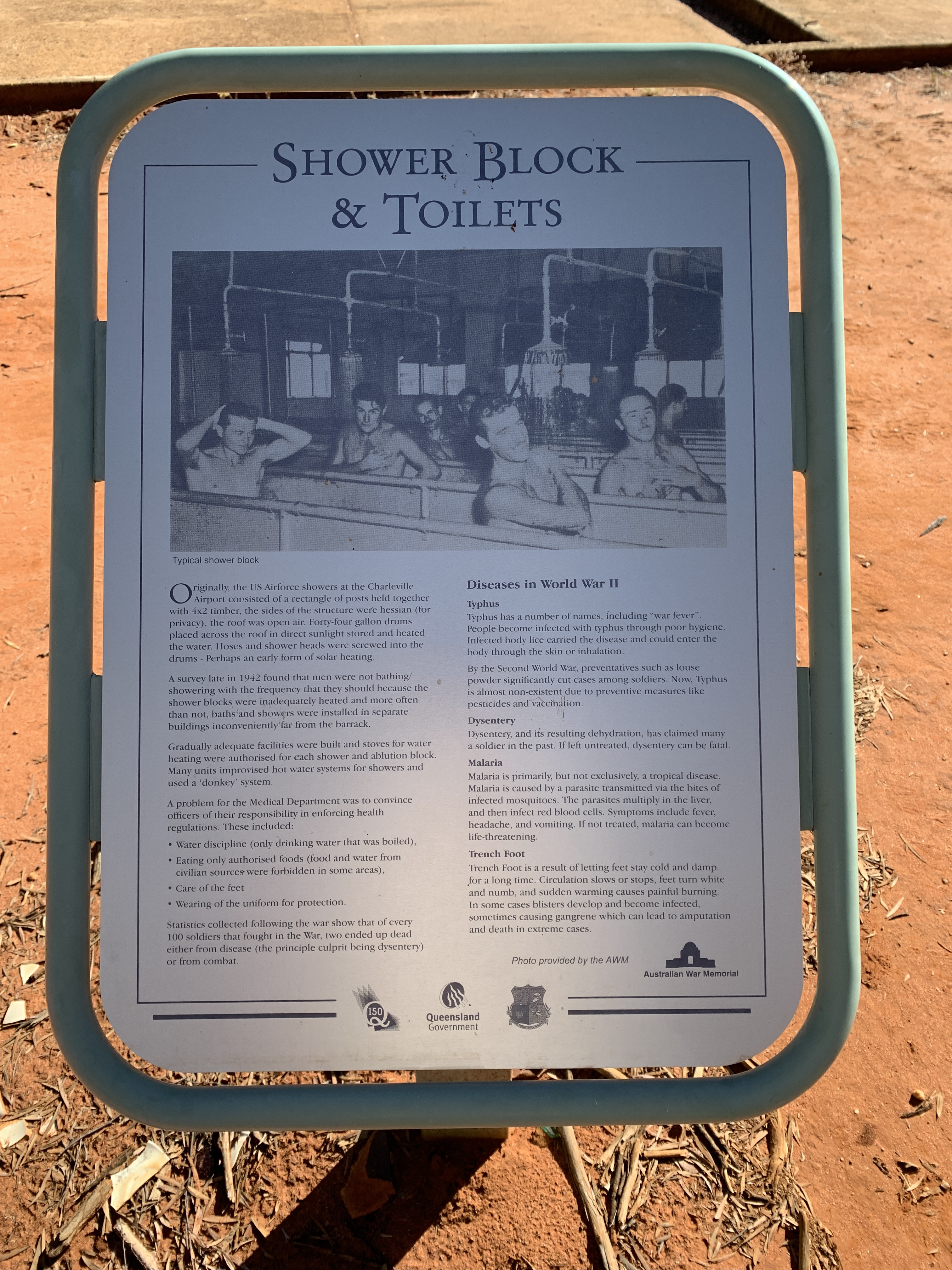
The base was built in Charleville as the conditions were exactly right for a large airport. It was flat, it was the right distance from the coast and it was within flying distance from the theatre of war. Also it was too far for Japanese planes to fly to and attack without refuelling making unlikely that it would be attacked by the Japanese. The base was built in a very short time and became the base for the famous B17 Bomber plane as well as many others. The planes were scattered around the base hidden between the Mulga trees and camouflaged with netting and vegetation. At this base the planes would be serviced and repaired.
Now the secret is a different story. The Americans had invented a machine that was used to accurately pinpoint a target location and drop a bomb on that location. It was called the Norden Bomb Sight, named after it’s Dutch/American inventor. The Norden Bomb Sight was top secret and was one of the US military’s most closely guarded secrets during WWII. The Sights were kept locked in a bunker with an armed guard at all times and when they were taken to the planes it was with an armed guard. The Sights were kept covered so they could not be viewed from the air and once the mission had been completed the Sight was removed from the plane and taken back to the bunker to be locked up again. It was such a special invention that gave the allies an advantage in the war. It was supposedly accurate enough to hit a target in a 100 foot circle from 21,000 feet. By the end of the war over 45,000 bombardiers had been trained to use the Sight and each of them had to sign an oath of secrecy.
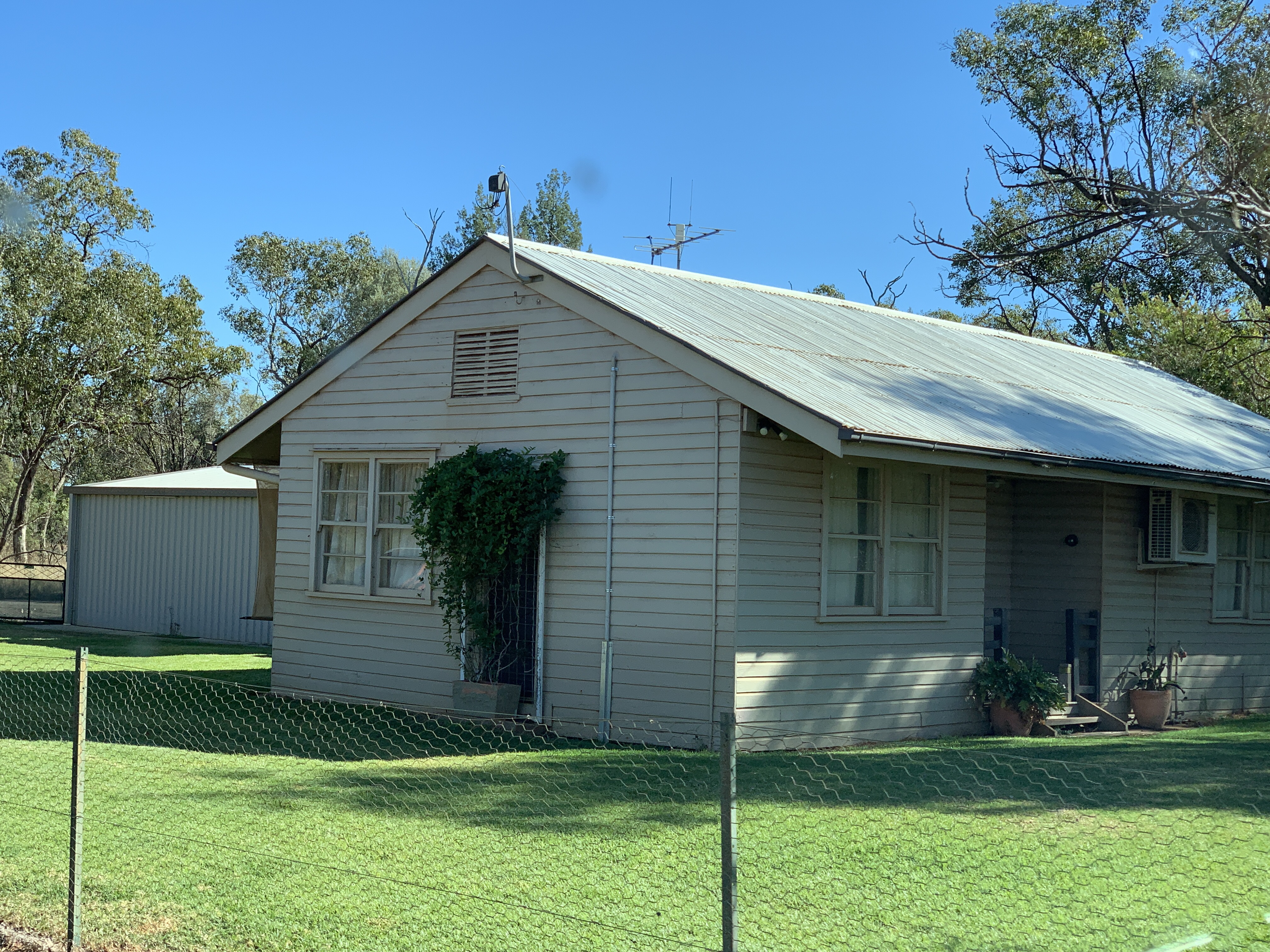
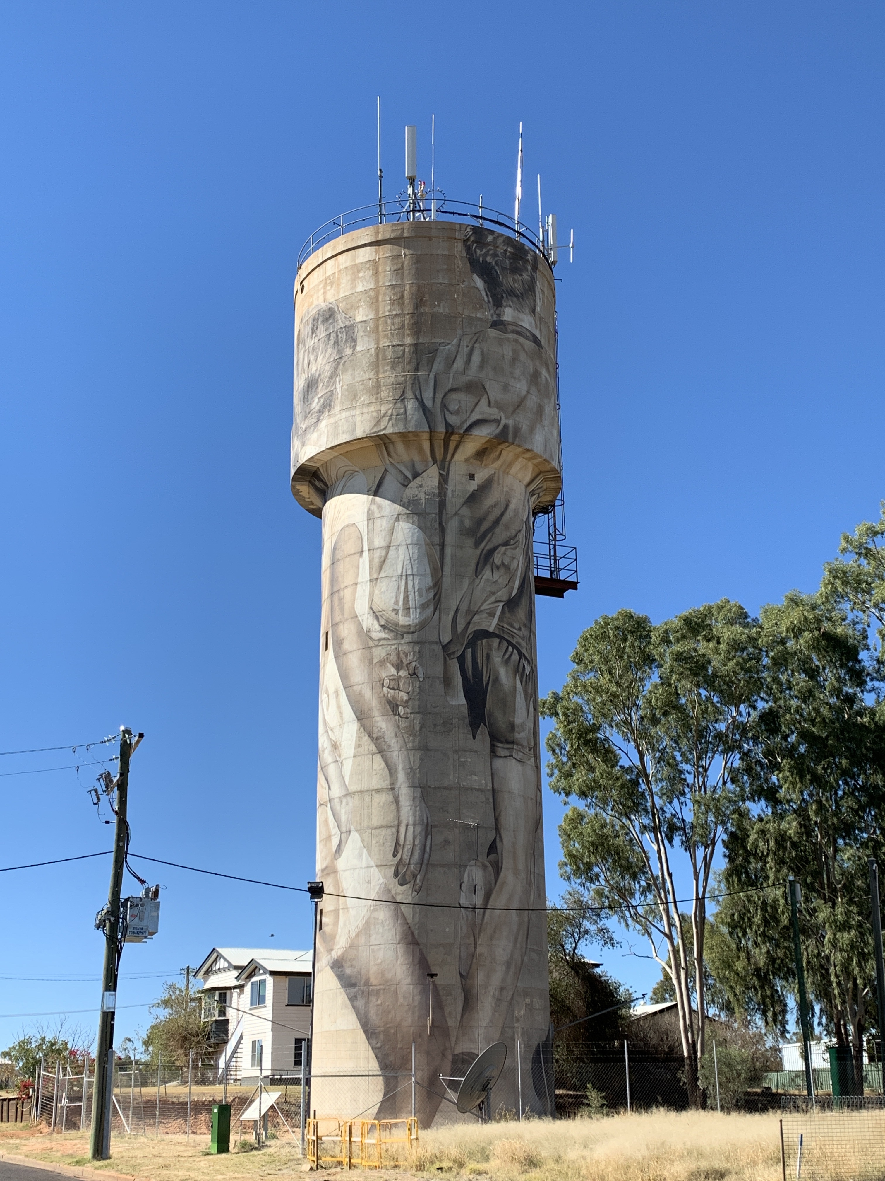
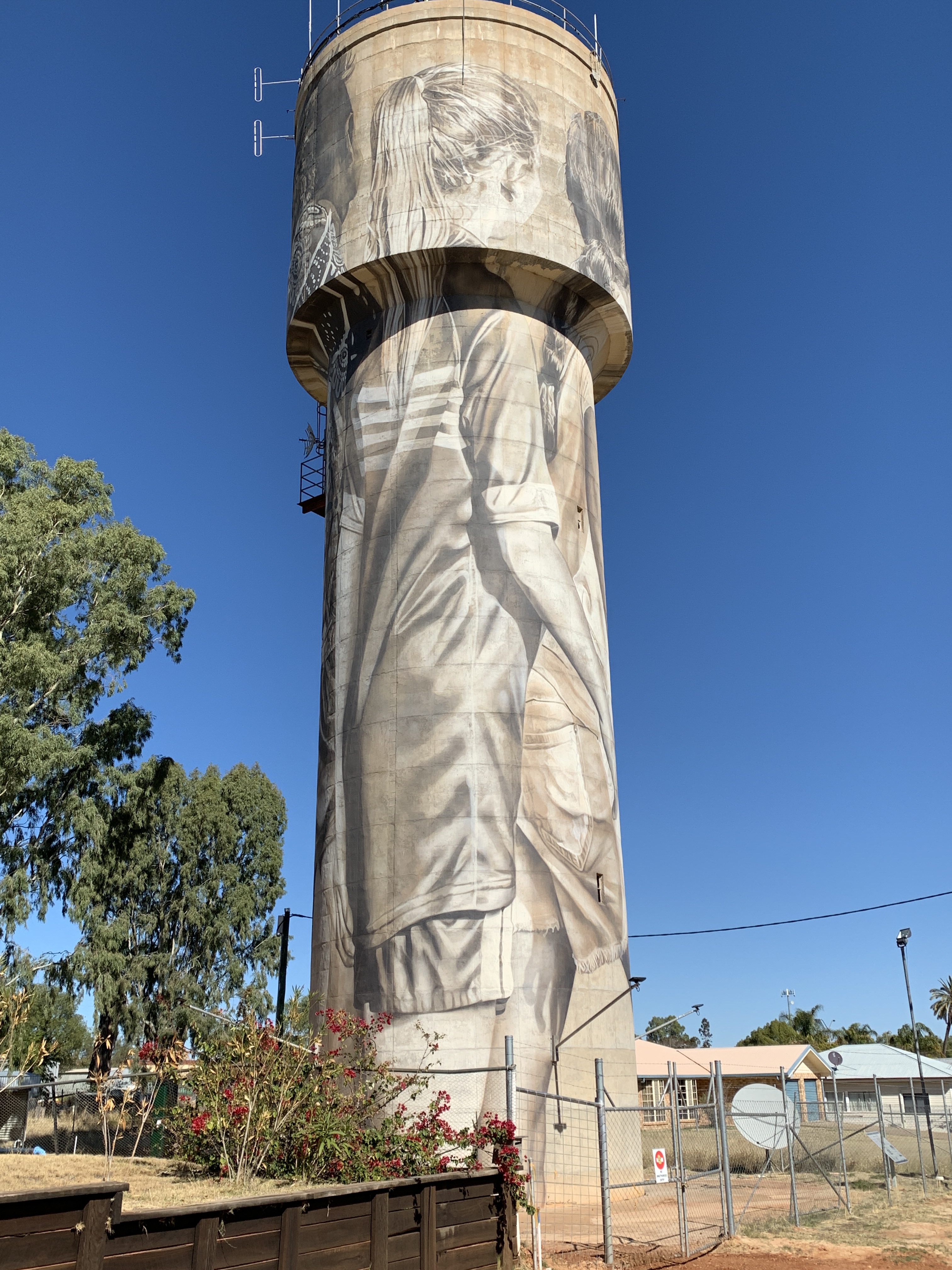
The tour lasts for a couple of hours and ends back in front of the WWII Secret Base museum. This is a new museum dedicated to showcasing the story of this amazing place. It cost $8 per person to visit the museum and it is well worth a visit. At the time of our visit only Stage 1 had been completed and when they get Stage 2 & 3 finished this will be a world class museum. Because the base was top secret a lot of information is only being uncovered now and more stories will be found and told.


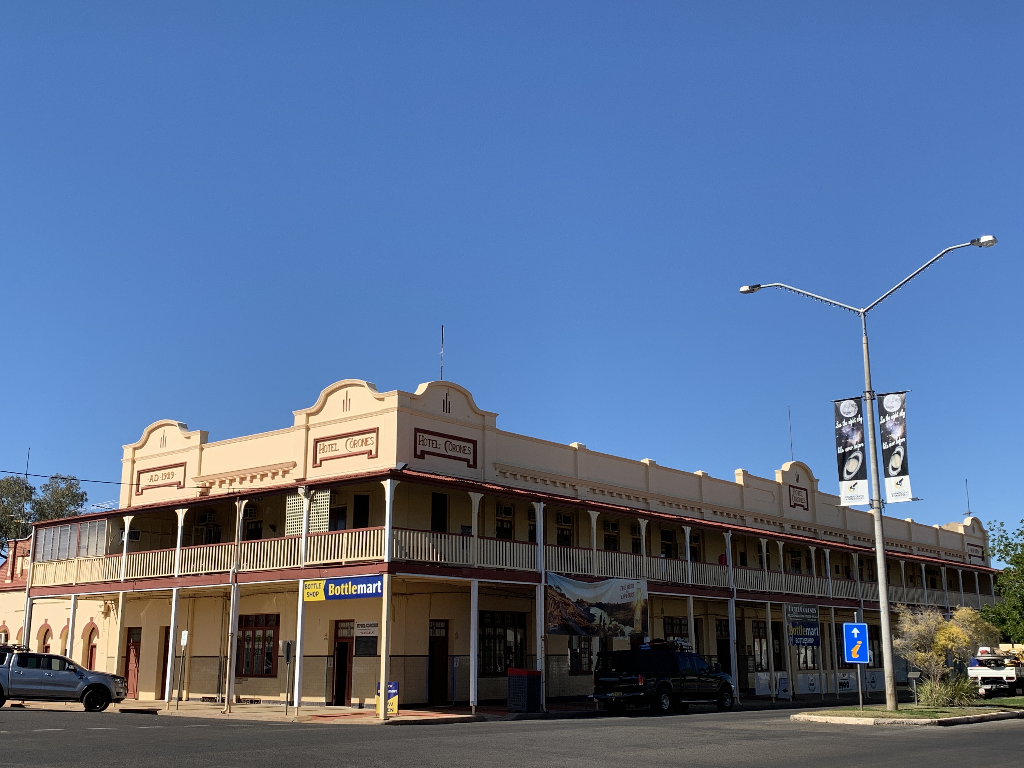
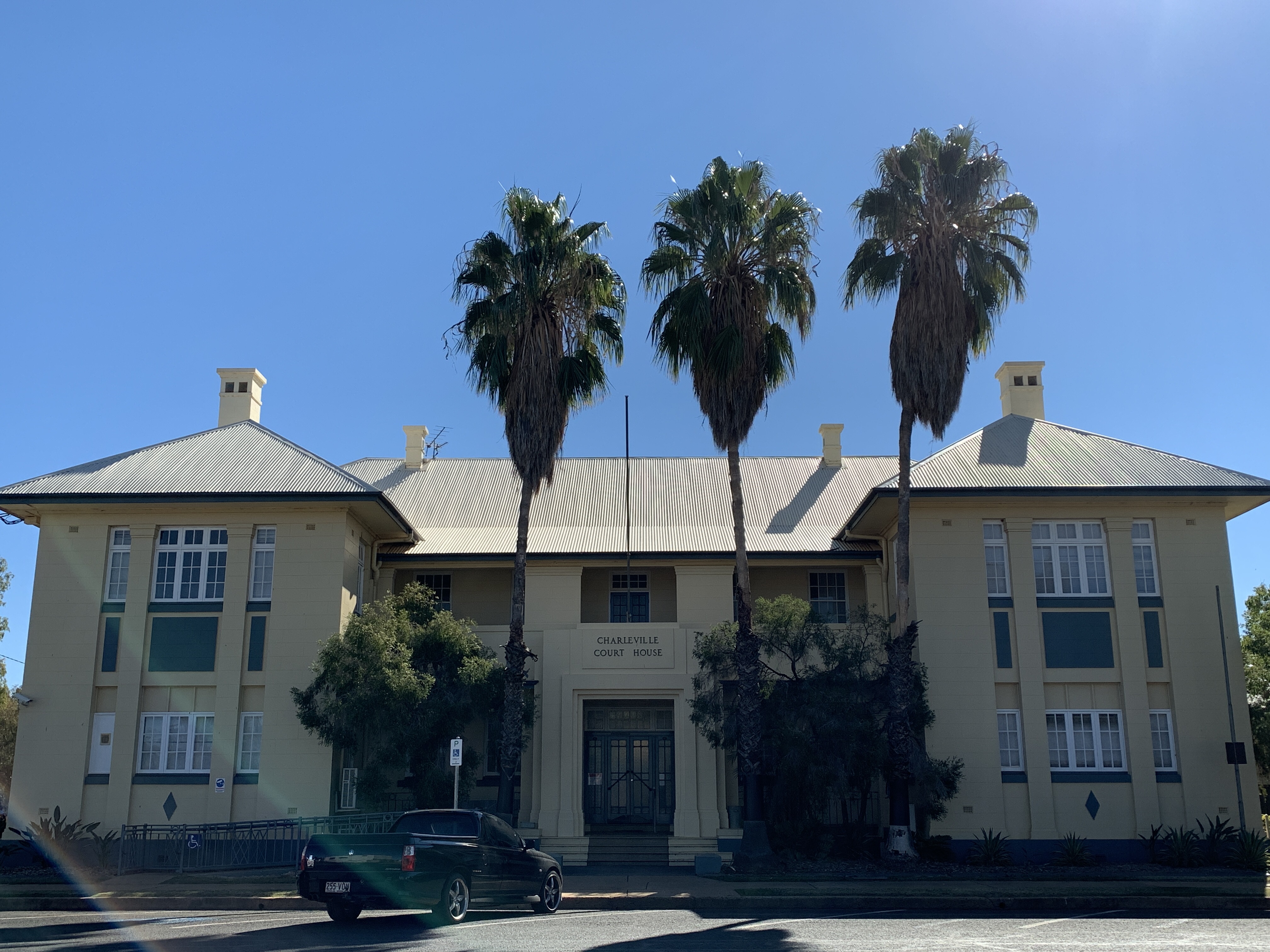
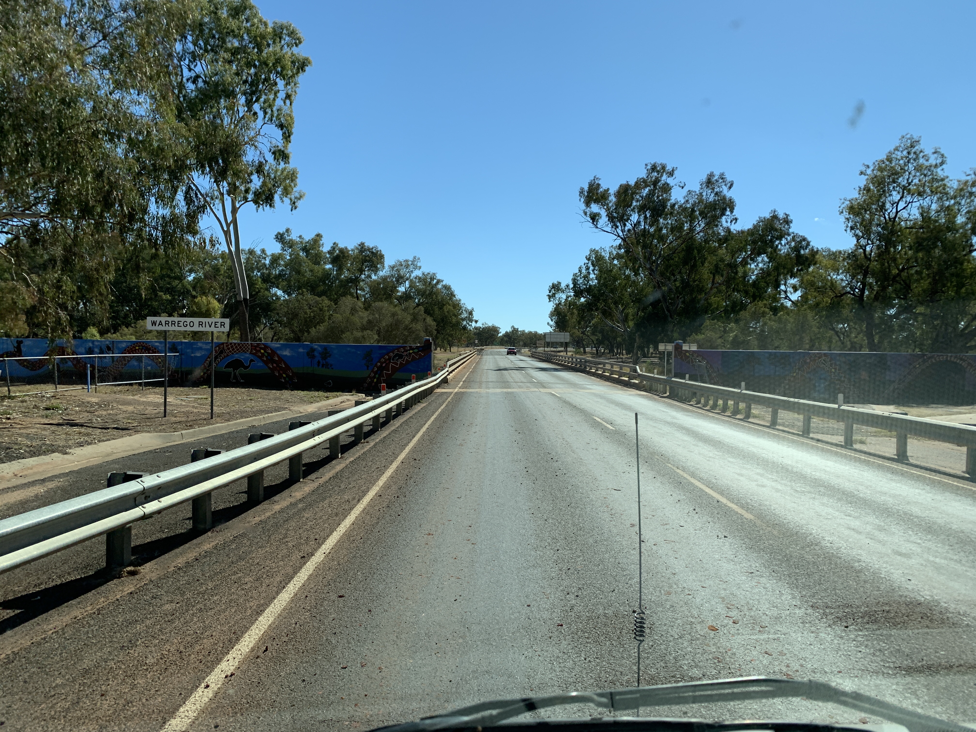
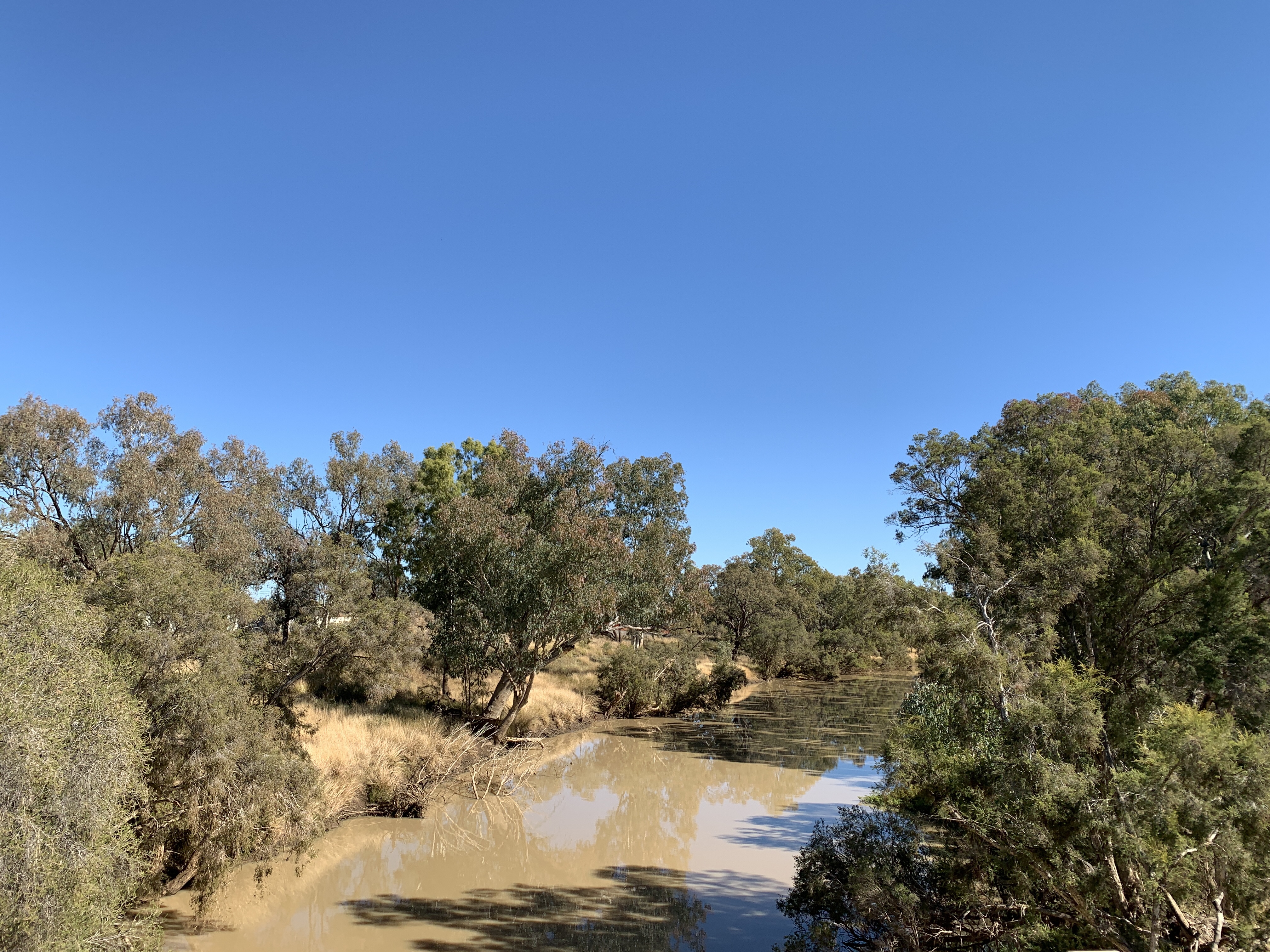
As we thought we’d head on north we took some time to use the dump point and fill up with water at facilities at the airport. Then it was off to the local IGA for some groceries. A short drive around town followed so I could get some photos for my blog and then we headed across the Warrego River again and northwards towards Blackall.


The road was a good wide tar road with quite thick bush on either side.
I found what looked like a good spot to stop for lunch on WikiCamps and we eagerly looked for a pole on the side of the road that had tinsel wrapped around it. This was the marker for a track down to the 10 Mile Waterhole. We found the tinsel-wrapped pole, followed the track down to the river and enjoyed a nice lunch break with water views of the Warrego River. I do love a water view. I think I might have said that before!

Onwards after our lunch stop and the dense bush was home to lots of kangaroos. We had to keep a sharp eye out as they jump across the road without a care in the world. Once we saw a wild white pig eating from some road kill. I haven’t seen that before!
We did a little detour through the tiny town of Augathella to view their painted water tower and then continued on.


Later as we approached Tambo we came over a rise and there was a sign saying we were entering the Lake Eyre Basin. Fancy that! We are a long way from Lake Eyre but the water in this catchment ends up there!
We arrived in Tambo in the late afternoon and headed out along the Barcoo River to find a camp. It was around 5ish by this time and most of the good spots were already taken by campers but we found a spot right at the end and set up camp. Sadly the Barcoo River is empty so we didn’t have water views for this camp but we did enjoy a roast pork baked dinner, a lovely campfire and watched the sun go down on the low, flat horizon.
For the first time on this trip we have no mobile service at all. Our Nighthawk modem has an Aldi SIM which uses the Telstra Network…..nothing. Our mobile phones and my iPad have Optus SIMs…..again nothing. This is unusual as we usually have one or the other but in Tambo neither network has a signal. Fortunately I can continue to write this blog however it won’t upload until we have signal again.