Hillston to Cobar

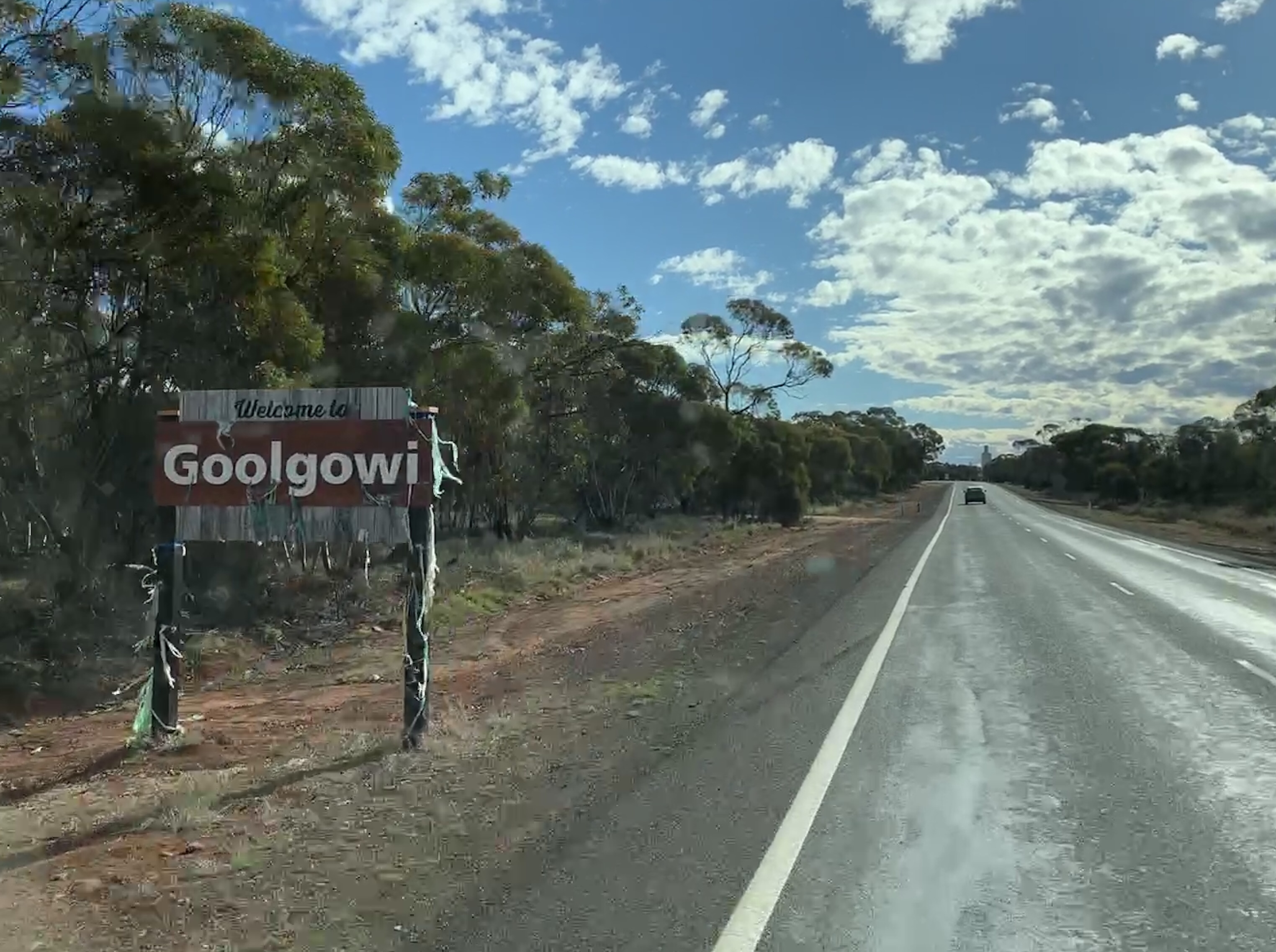
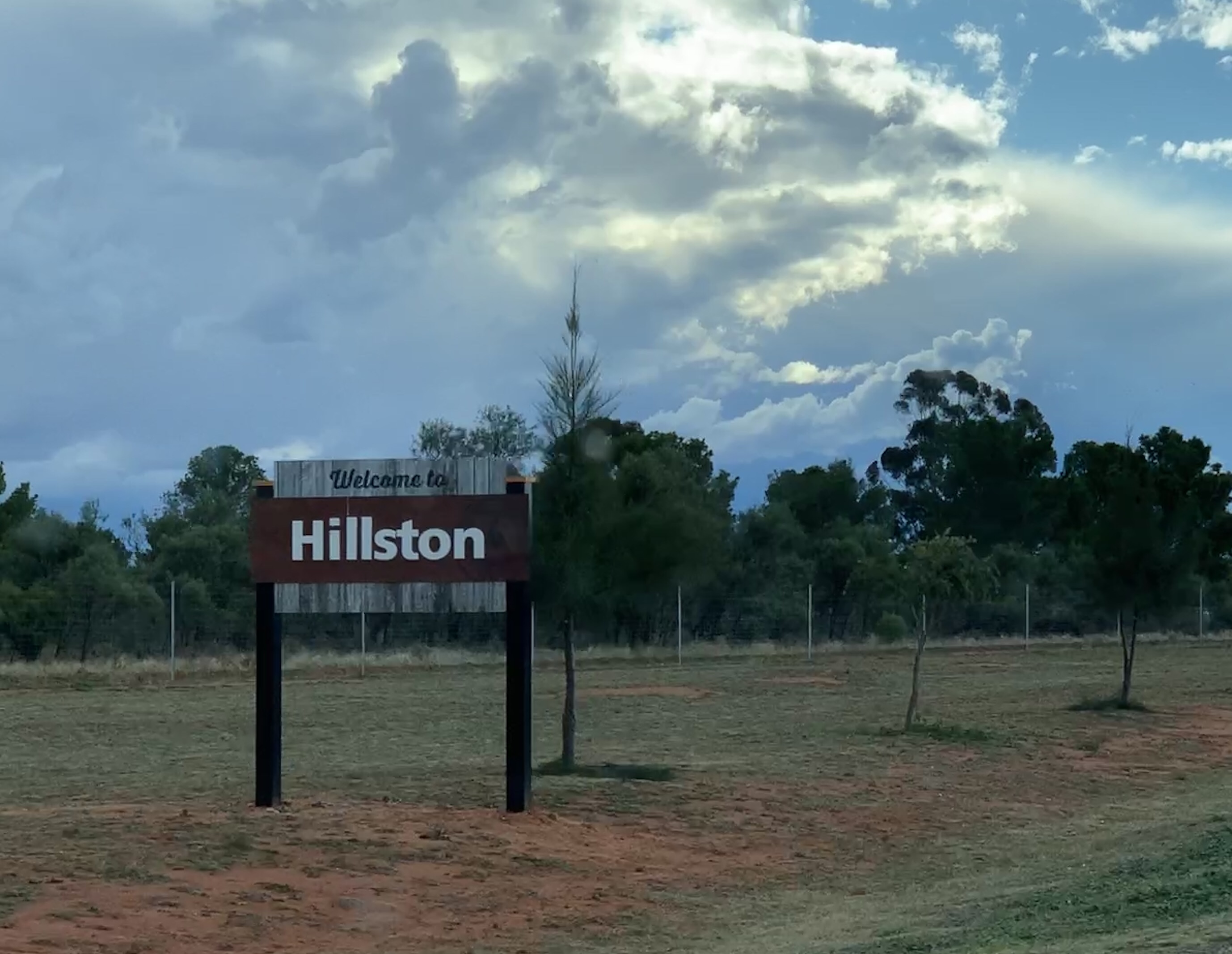
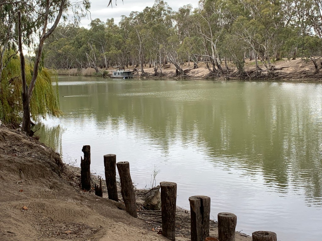
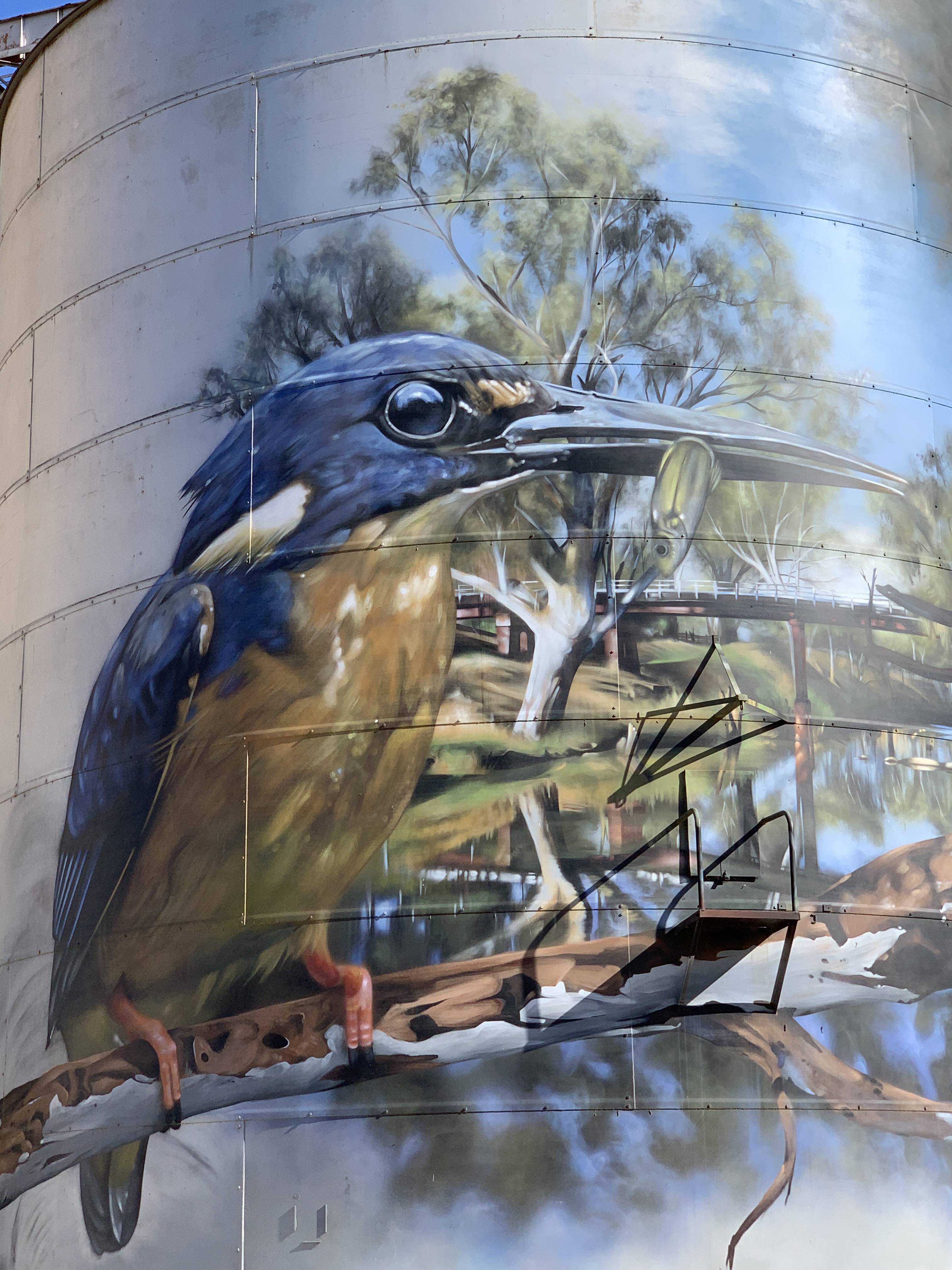
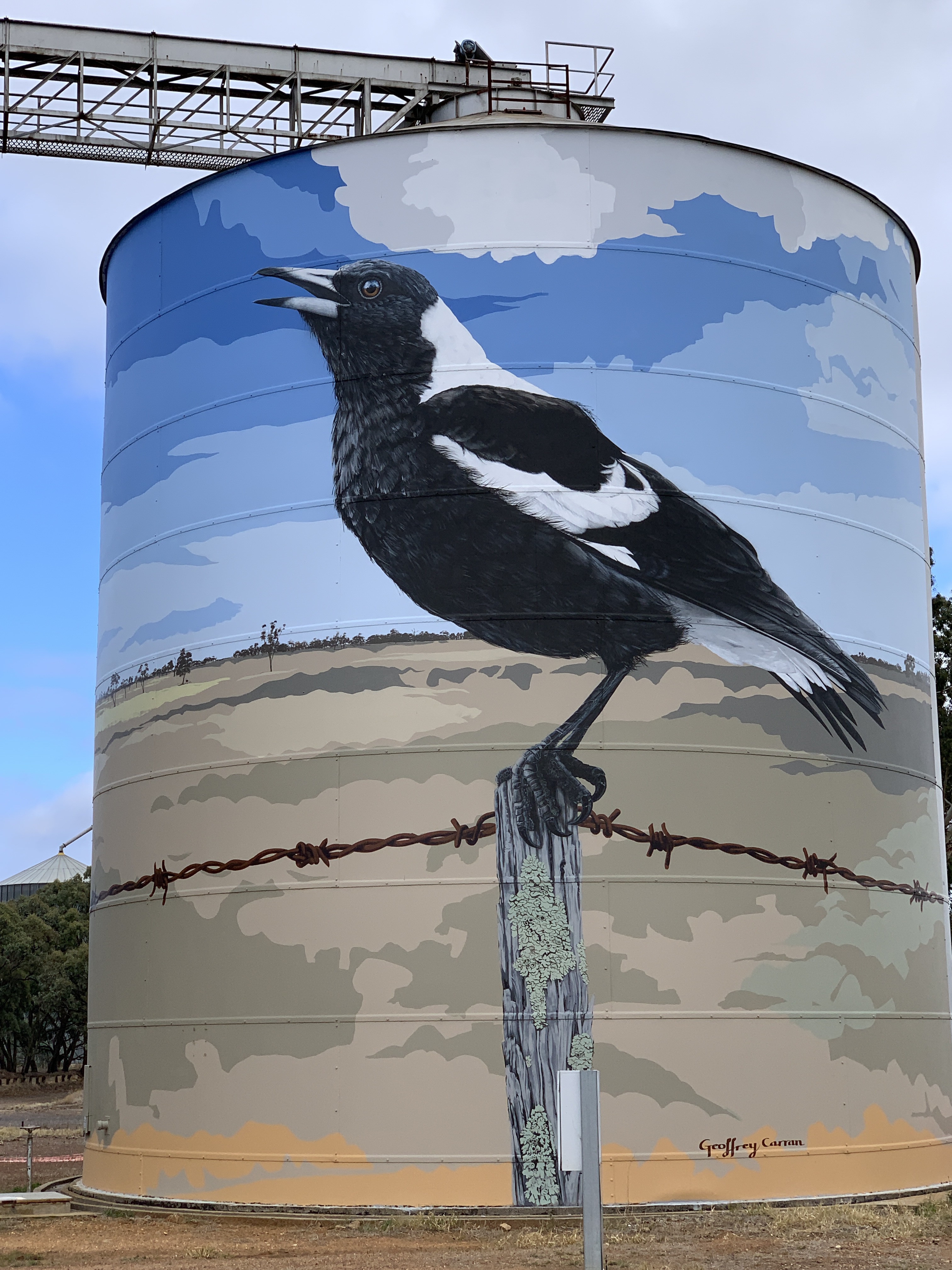
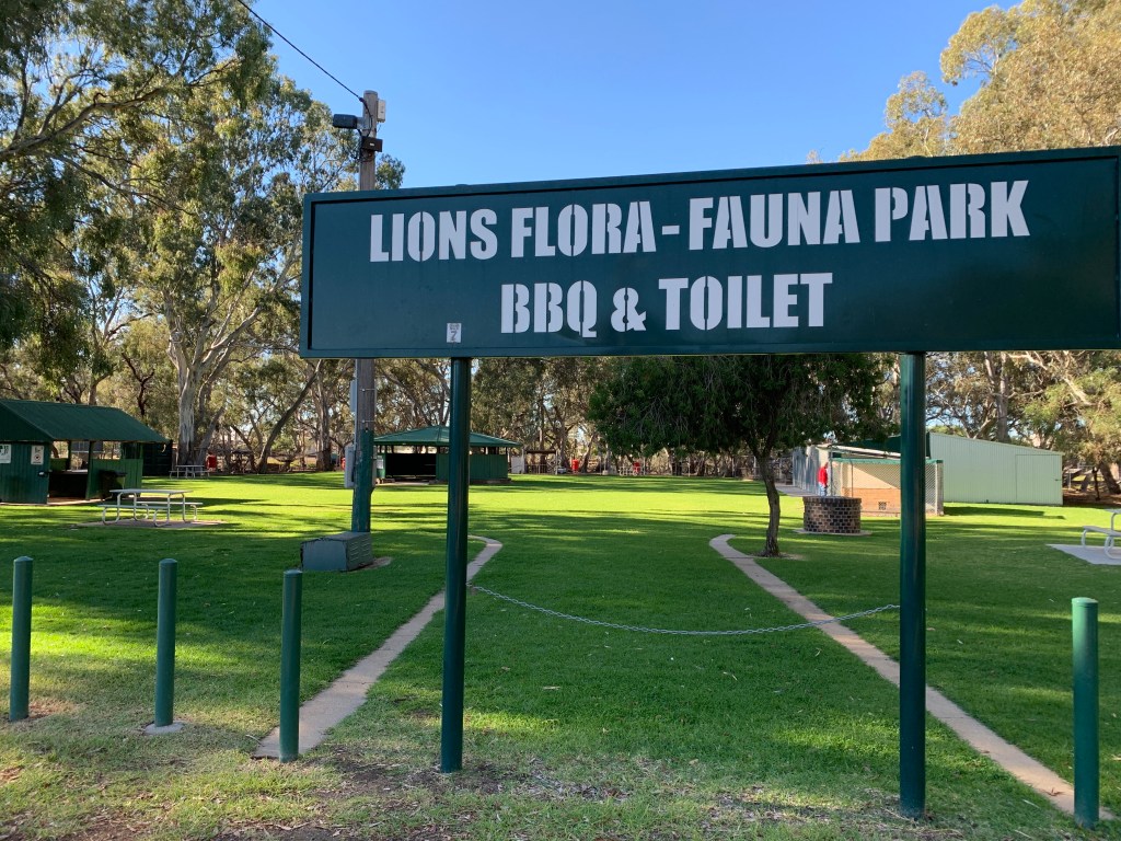
We had a great nights sleep at the Hillston Rest Area. This large paved Rest Area is just 2km south of Hillston opposite the Airport. It was a busy rest area last night. I counted 3 caravans, a huge fifth wheeler, us and a couple of nice young girls camping in a tent. Multiple big rigs also used the rest stop during the night.

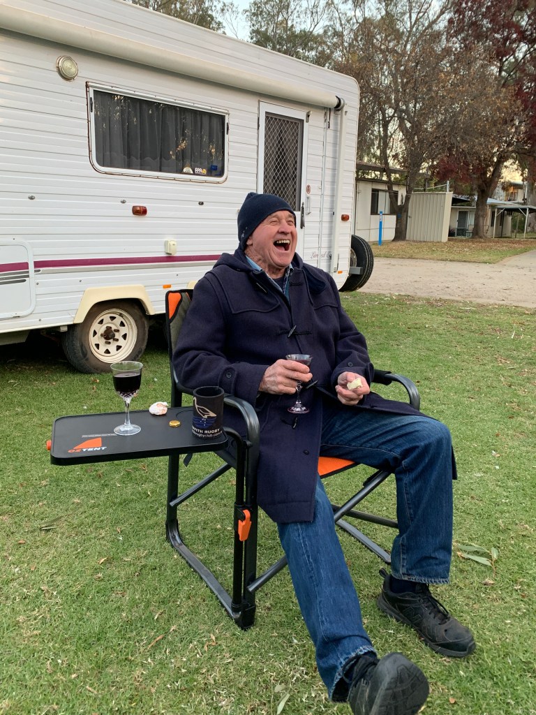
Richard got chatting to the young ladies and invited them in for a hot cuppa. They took him up on the offer and I think they enjoyed being able to sit inside in the warm for a bit. They are traveling in their little car with a 2 man bell tent and plan to go all the way to Uluru. They had planned to go via Ivanhoe but due to the recent rain and the heavy storm yesterday the Ivanhoe Road is closed. It will probably be closed for a few days to dry out. This means the Ivanhoe-Menindee Road is probably closed too. The girls have no option but to go the long way around via Cobar and Broken Hill. I heard them leave about 4am.

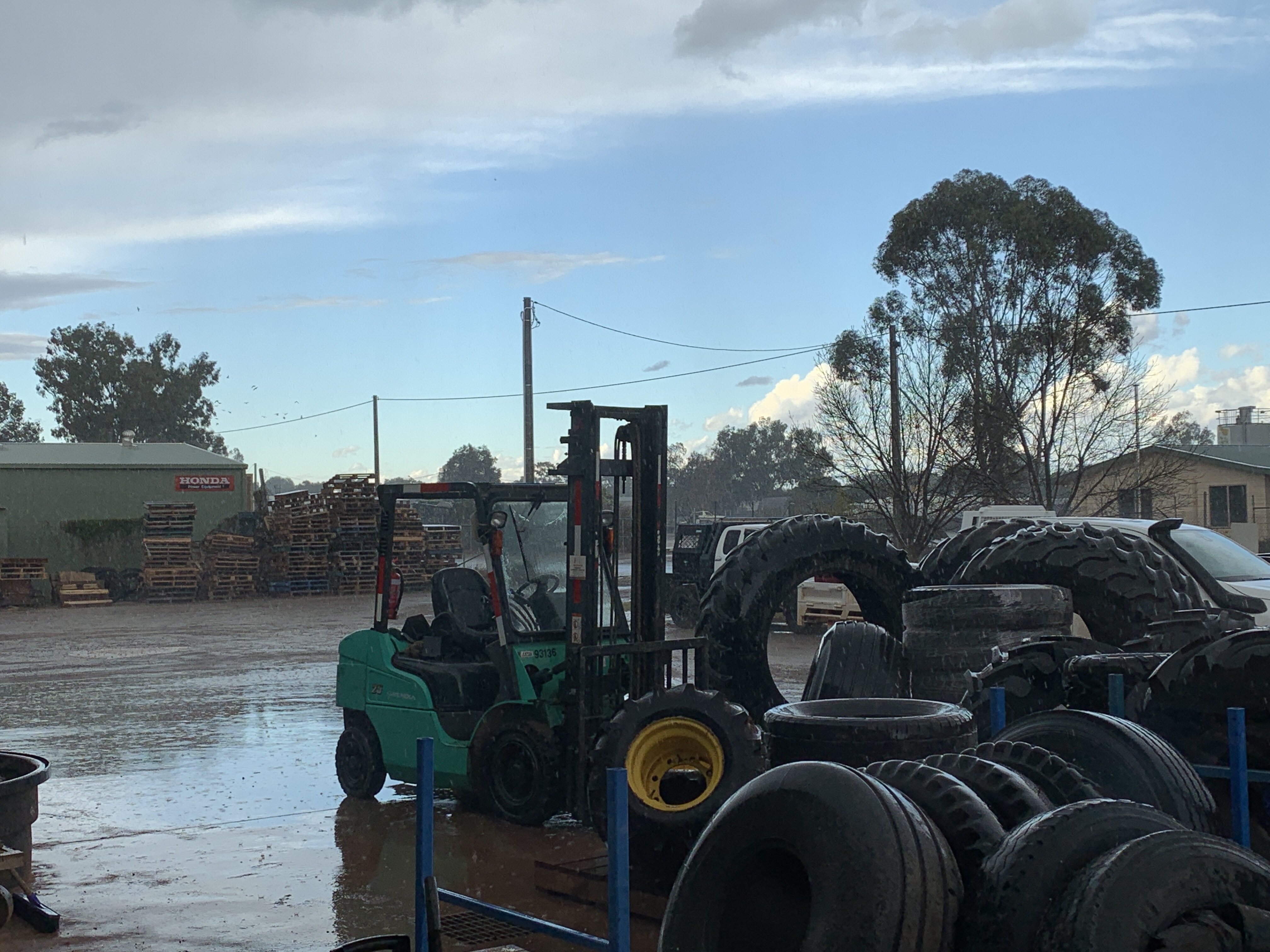
We started our travels again by visiting the tyre joint in Hillston to see if they could find out why one of our tyres is leaking air slowly. After taking the tyre off and investigating we are still no wiser. There is nothing wrong with the tyre or the valve so, by the process of elimination, it must be a faulty valve extension. They didn’t have one so we will have to try to get a replacement in Cobar. At least we know the tyre is OK. Unfortunately without the extension we cannot fit the TPMS sensor so we won’t know if we get a puncture in that tyre. We’ll just have to check it manually as we go.

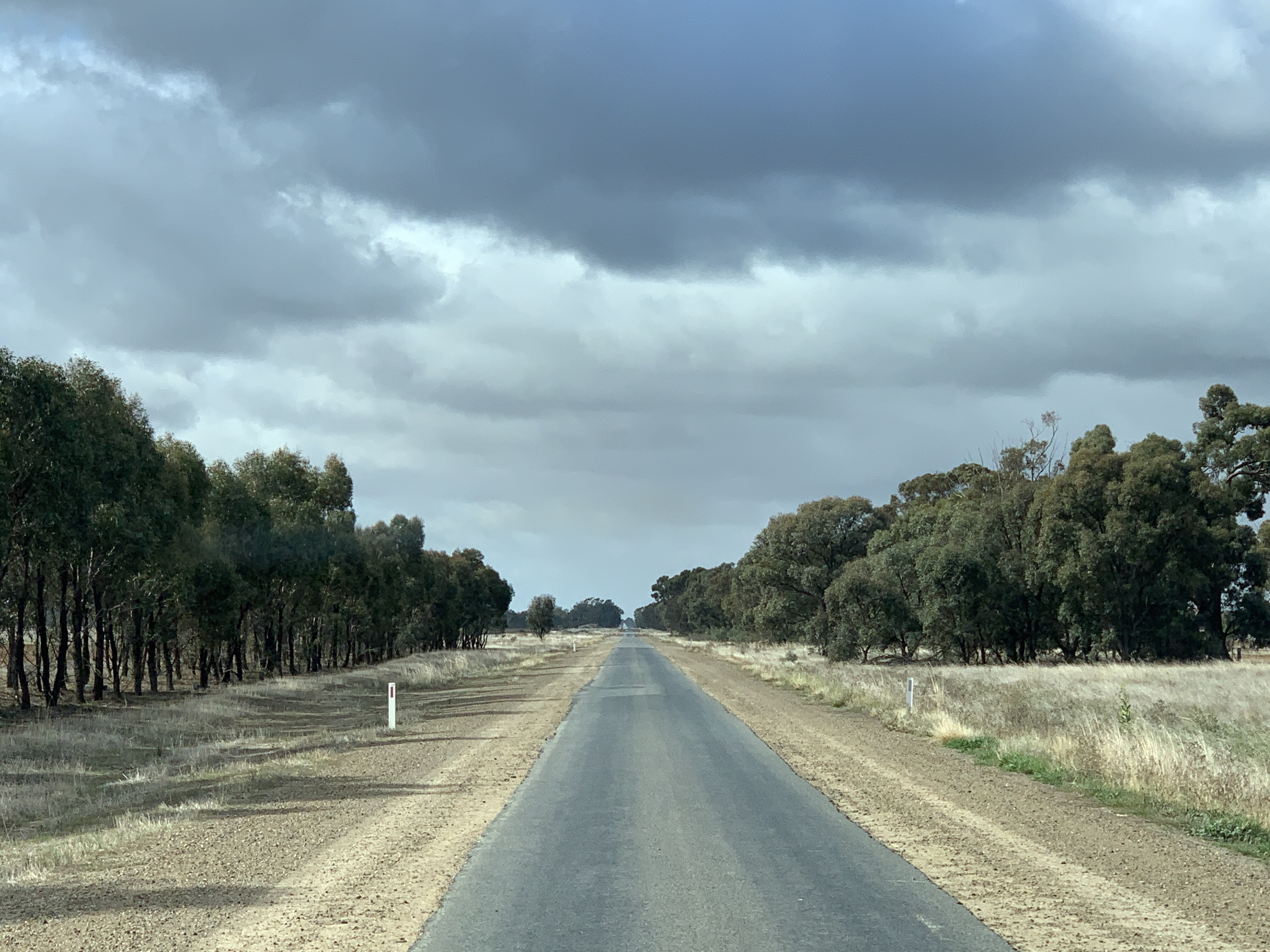
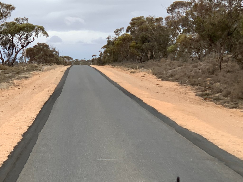
It was a lovely, sunny, cold day and made for quite pleasant traveling as we were warm and snug inside. The countryside after leaving Hillston is mostly Mallee scrub with some cleared land for cropping. We did see a few Emus and a couple of paddocks with healthy looking black-faced sheep. As we got closer to Mt Hope we also came across native Pine forest.

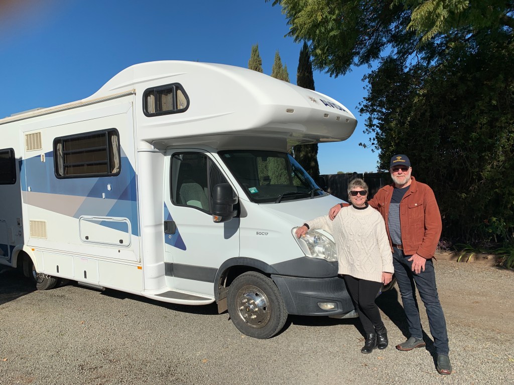
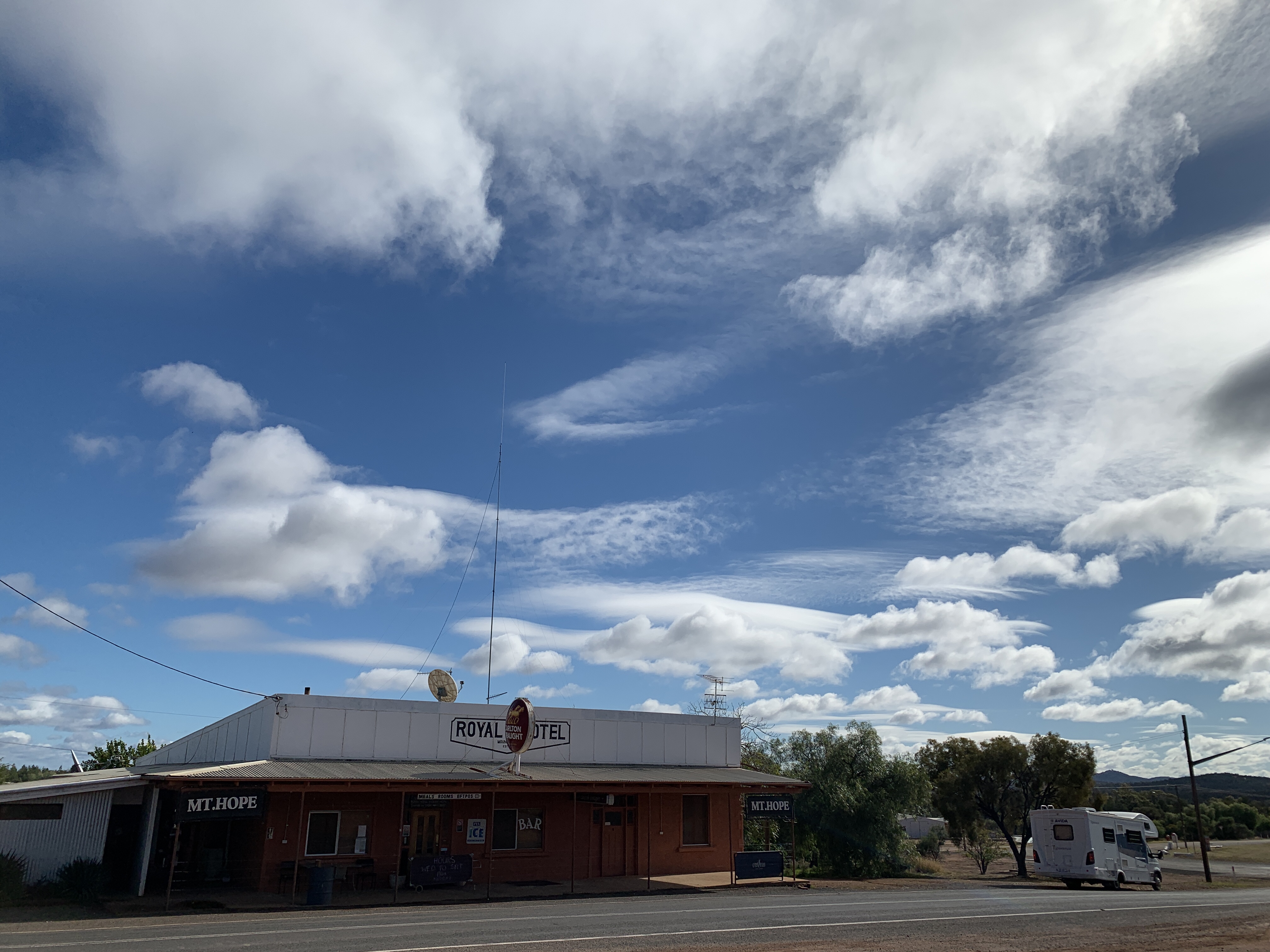
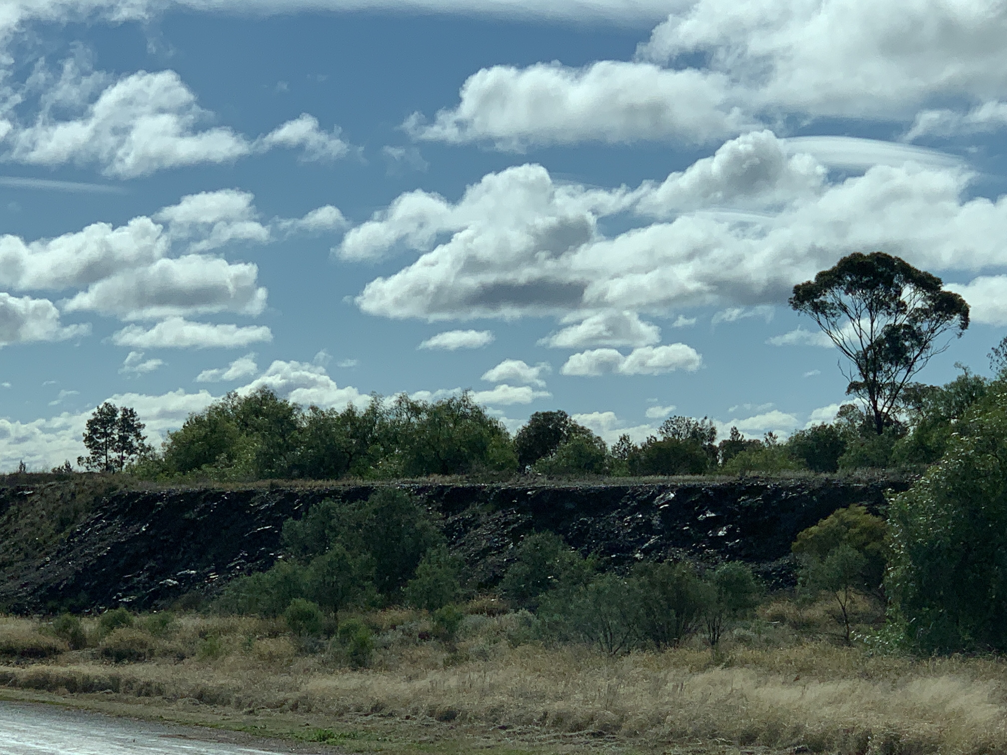
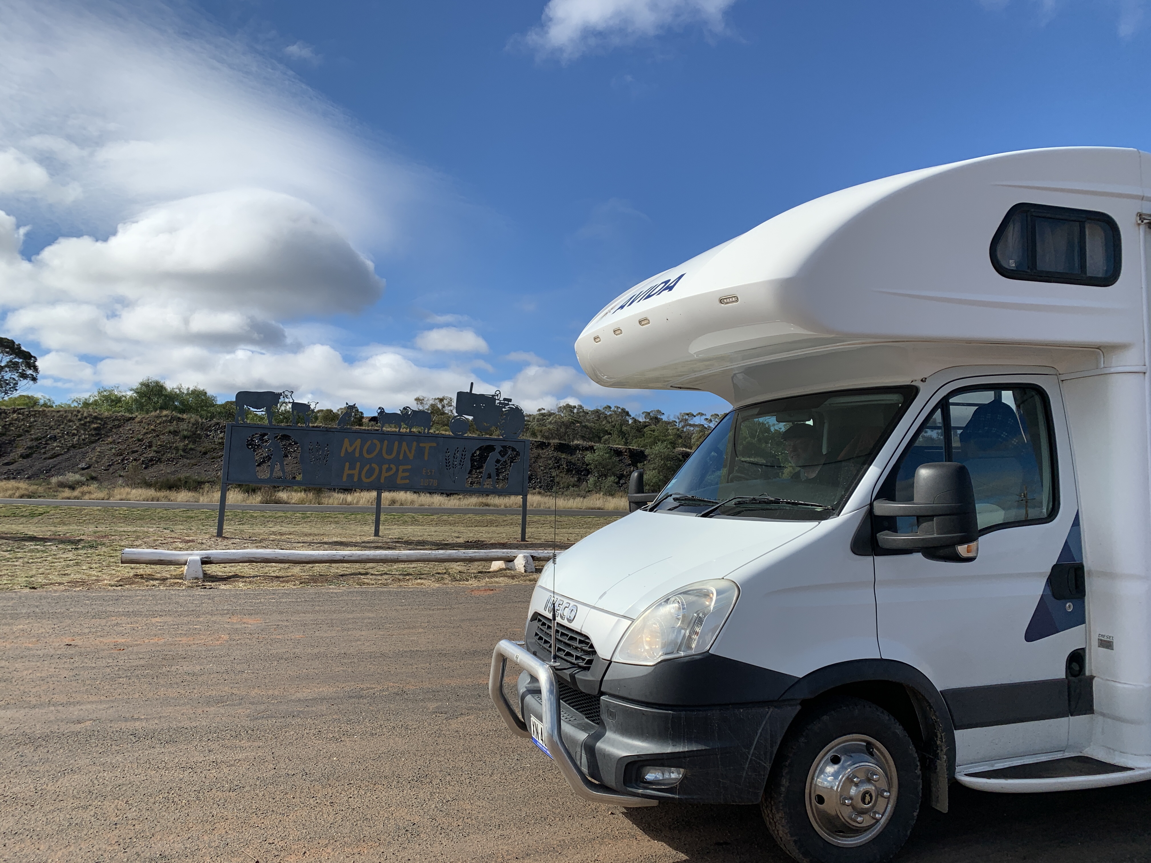
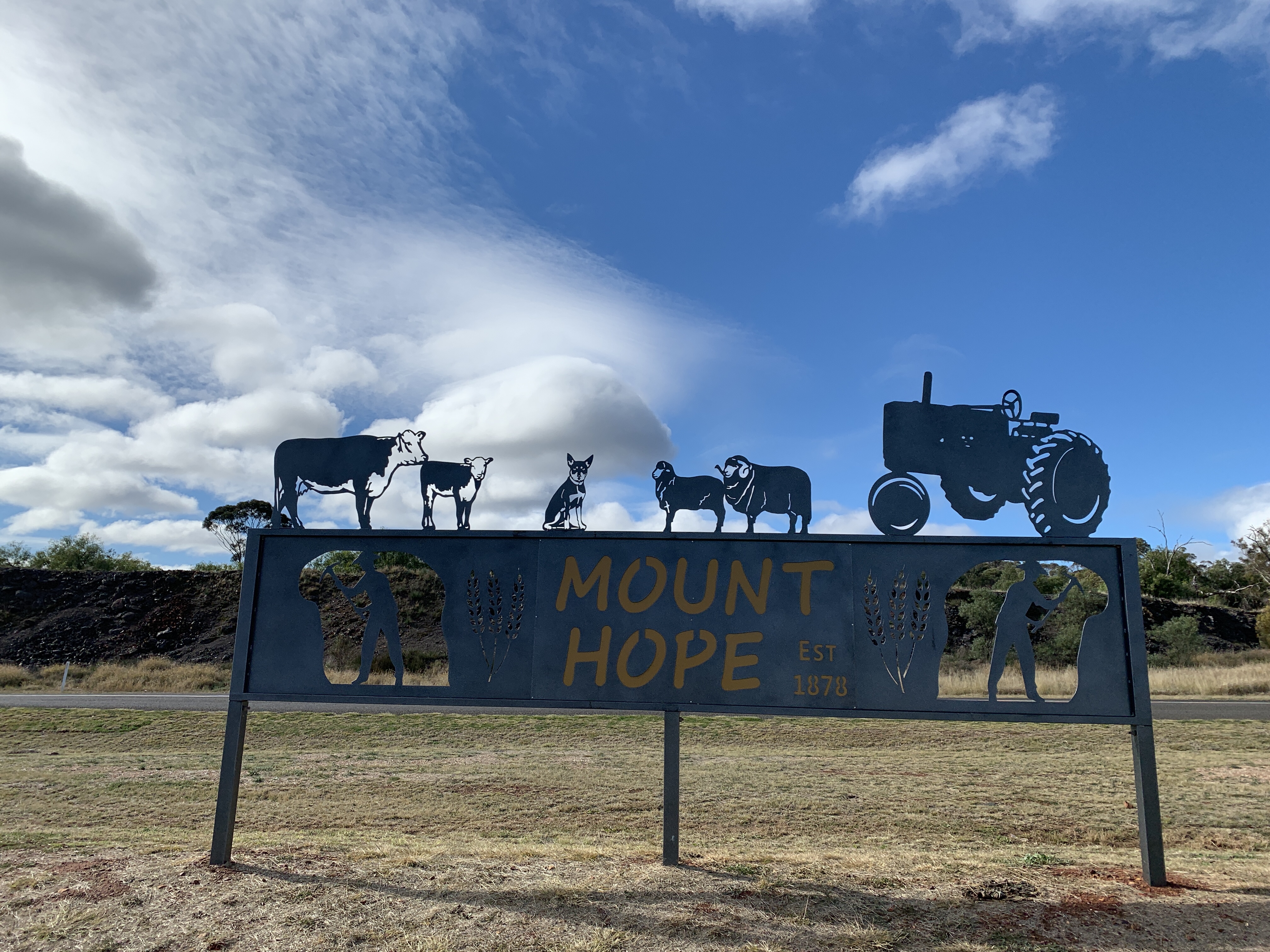
We had a short stop at the tiny village of Mt Hope so I could take a photo of our motorhome near the Royal Hotel. Across the road is the remains of the slag dump that my dad and his brothers used to play on when they were boys and lived in Mt Hope. The school they went to is just an old historic site now. Funny to think this is where my dad and his brothers spent their early years. Back then the road wasn’t even tarred. It would have been pretty remote.

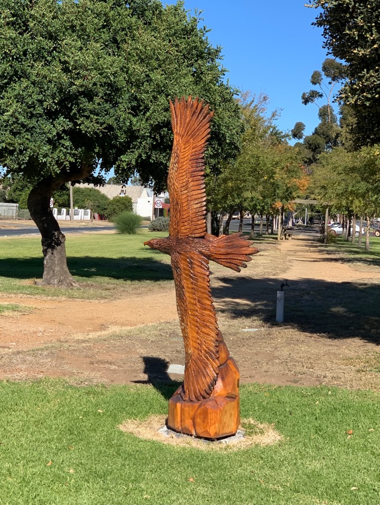
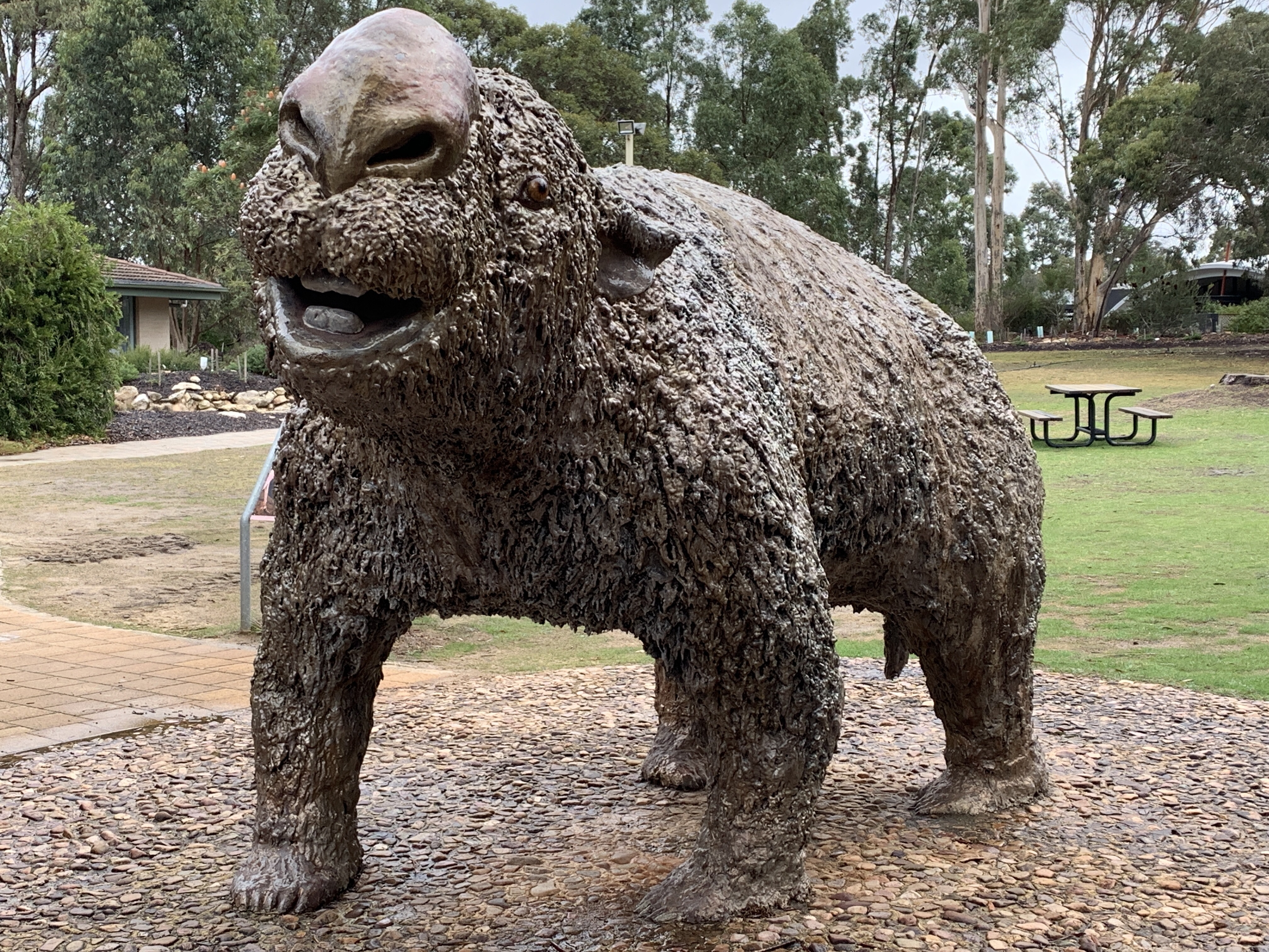
Further along The Kidman Way we stopped for a lunch break at the Gilgunnia Rest Area, 51km north of Mt Hope. This is the site of the Gilgunnia Goldfields and was once a thriving mining area. I liked the statue called ‘Charlie’ made from bits of old metal stuff and the story alongside.

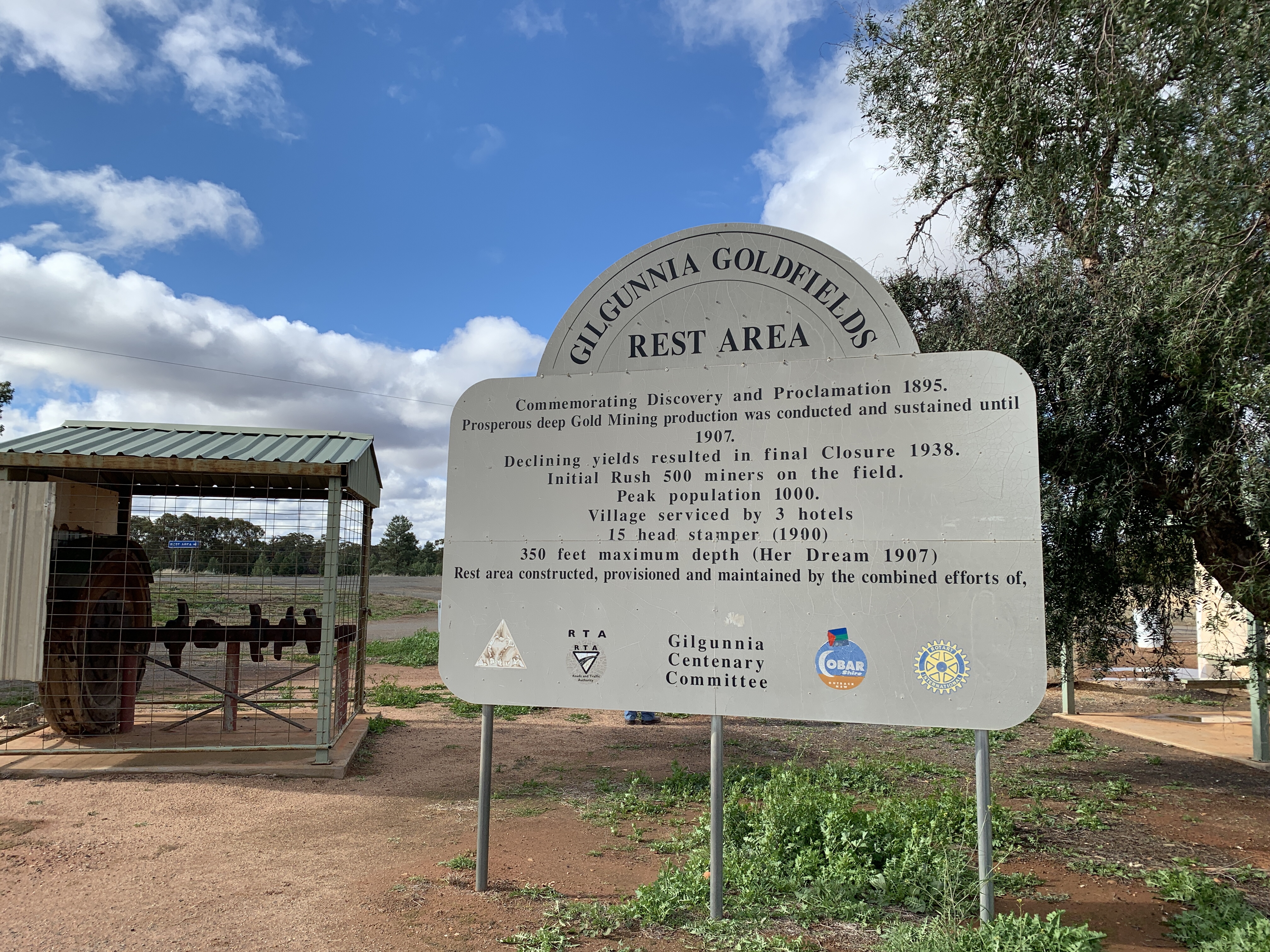
Gilgunnia Goldfields was once home to 1,000 people and had 3 pubs. One of those was founded in 1873 by Henry Kruge (more about him later) and he also provided blacksmith and wheelwright services and sold general stores. He was an enterprising man and as Cypress Pine grew in the area he also set up a sawmill and later opened a post office at the hotel. This old hotel eventually became a homestead and survived until it was destroyed by fire in 1976.

Gilgunnia was proclaimed a village in 1897 and had a public school from 1896 to 1907.

All mining had ceased in the area by the 1930’s and the population dwindled and by 1942 there was no one left. The buildings decayed and there are no buildings left today.

It is a good stop for a rest with some remnants of mining on display. There is a plaque commemorating the Kruges as the first settlers in the area and the founders of Old Gilgunnia.

We continued on towards Cobar. The countryside became progressively hillier and we were surprised by the amount of floodways on the roads. It doesn’t rain often out here but when it does it must be heavy to need all those floodways across the road.

Along this stretch of The Kidman Way we spied lots of groups of feral goats of all sizes and colours. Many of them do not appear to be afraid of the traffic on the road.

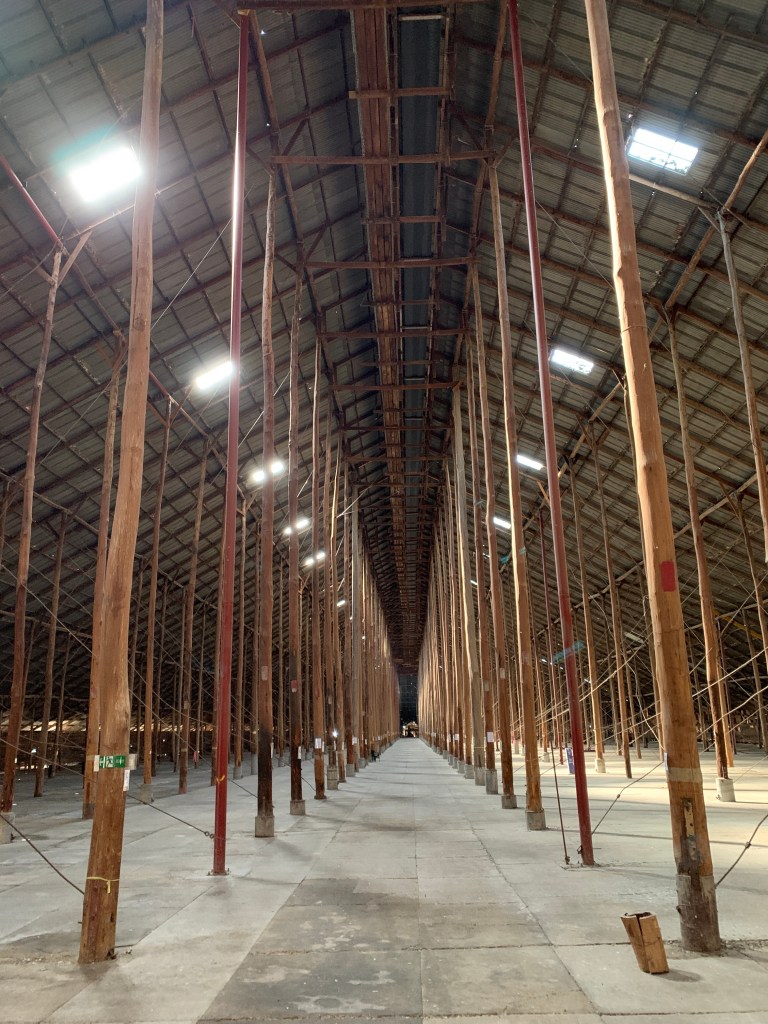
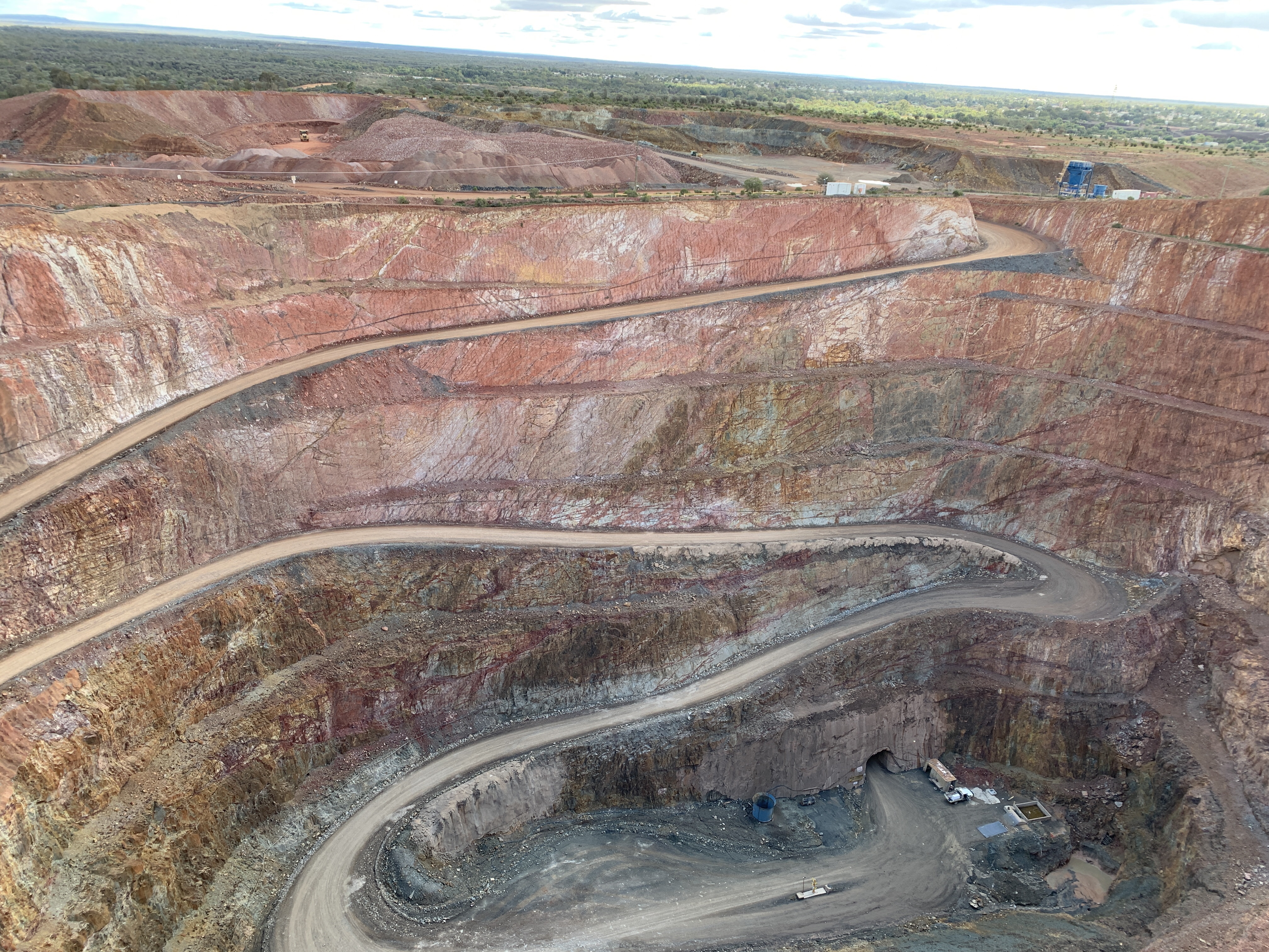
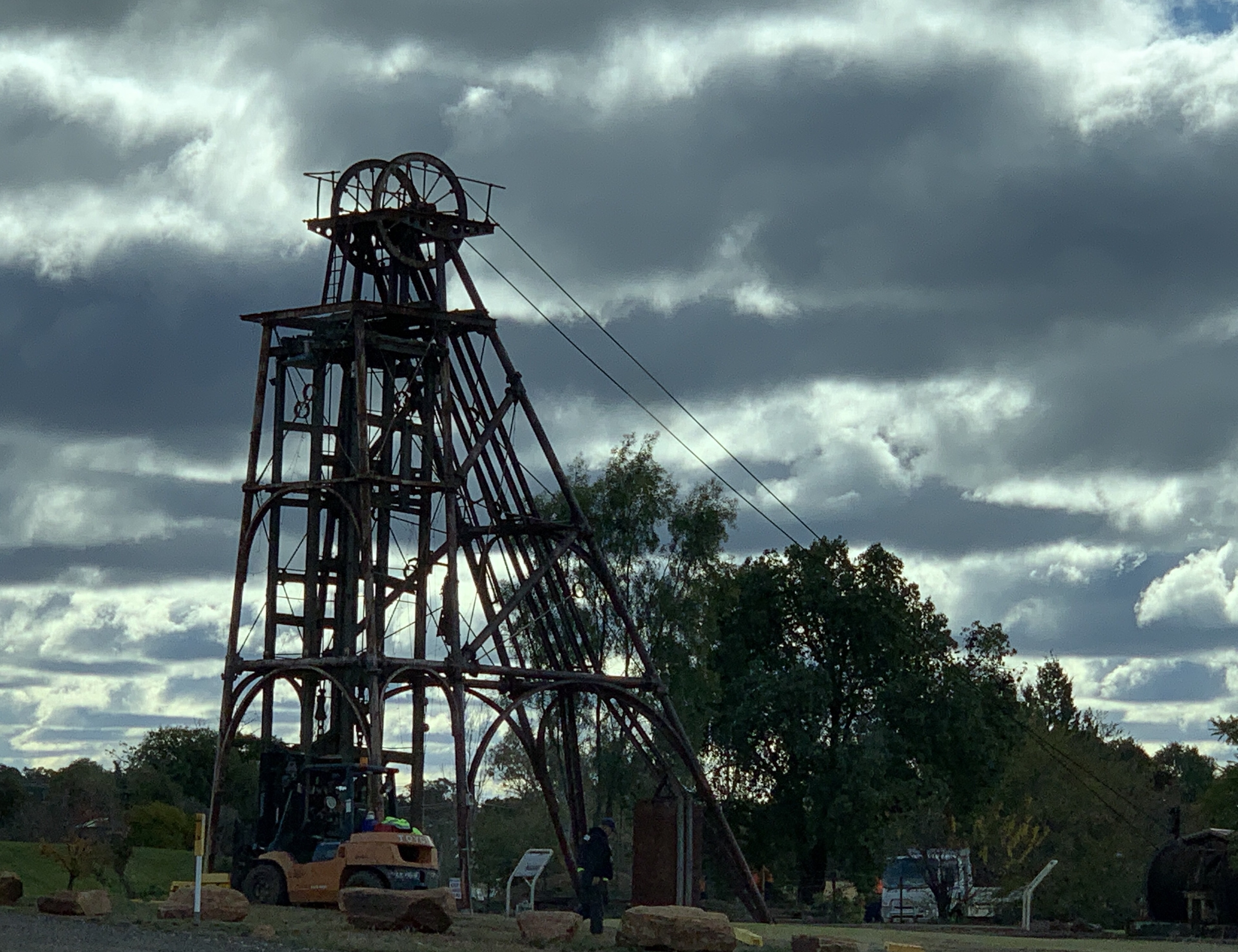
Just south of Cobar we turned off to the Fort Bourke Hill Lookout and I’m glad we were not towing a van. The very narrow tar road leads to the top of a steep hill and there is a very small turning circle at the top. I think they need to have a Not Suitable for Caravans sign at the bottom of the hill. There is a small tin shed only a short walk away from the carpark and it overlooks the New Cobar Mine. The shed houses story boards of the history of Cobar and mining in the area. It was really windy and very cold standing up there looking down at this huge hole in the ground. New Cobar open cut mine was started in the late 1890’s and is considered to be a medium sized open cut. I thought it looked pretty big!

On the northern end of the cut you can clearly see the vein of quartz called the Great Chesney Fault and it extends south to the Chesney and New Occidental Mines.

Underground mining commenced at New Cobar Mine in 2004. Ore from nearby Chesney Mine and New Cobar Mine are brought to the surface at the bottom of the open cut by huge dump trucks. 200 loads a week are brought to the surface.

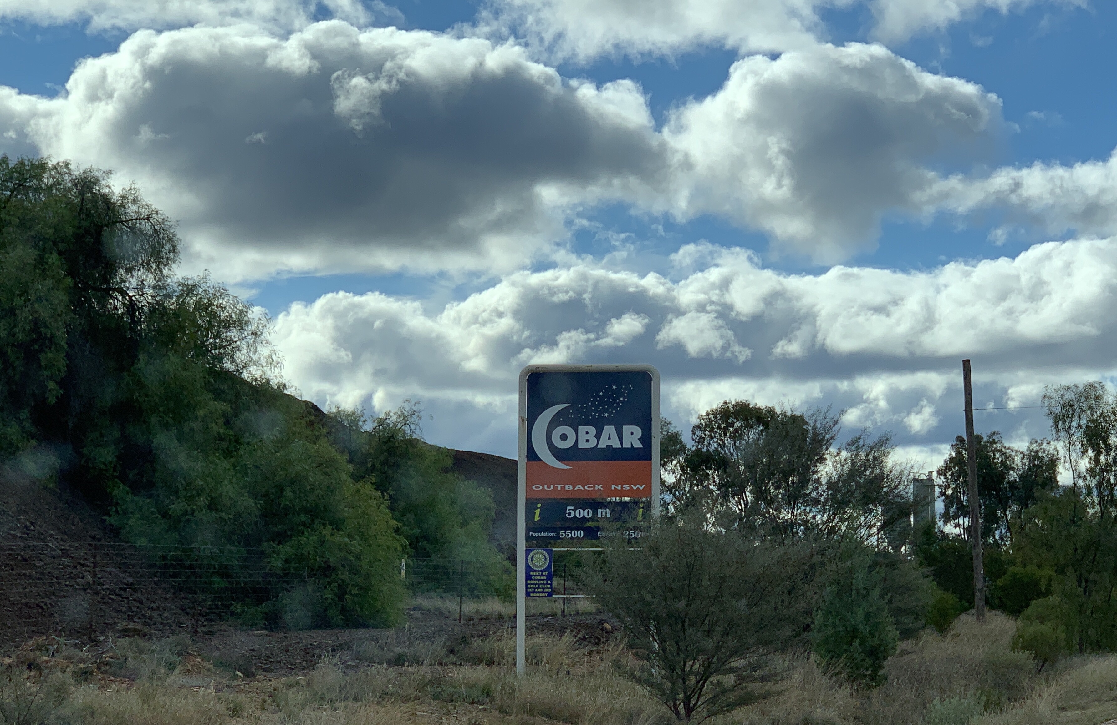
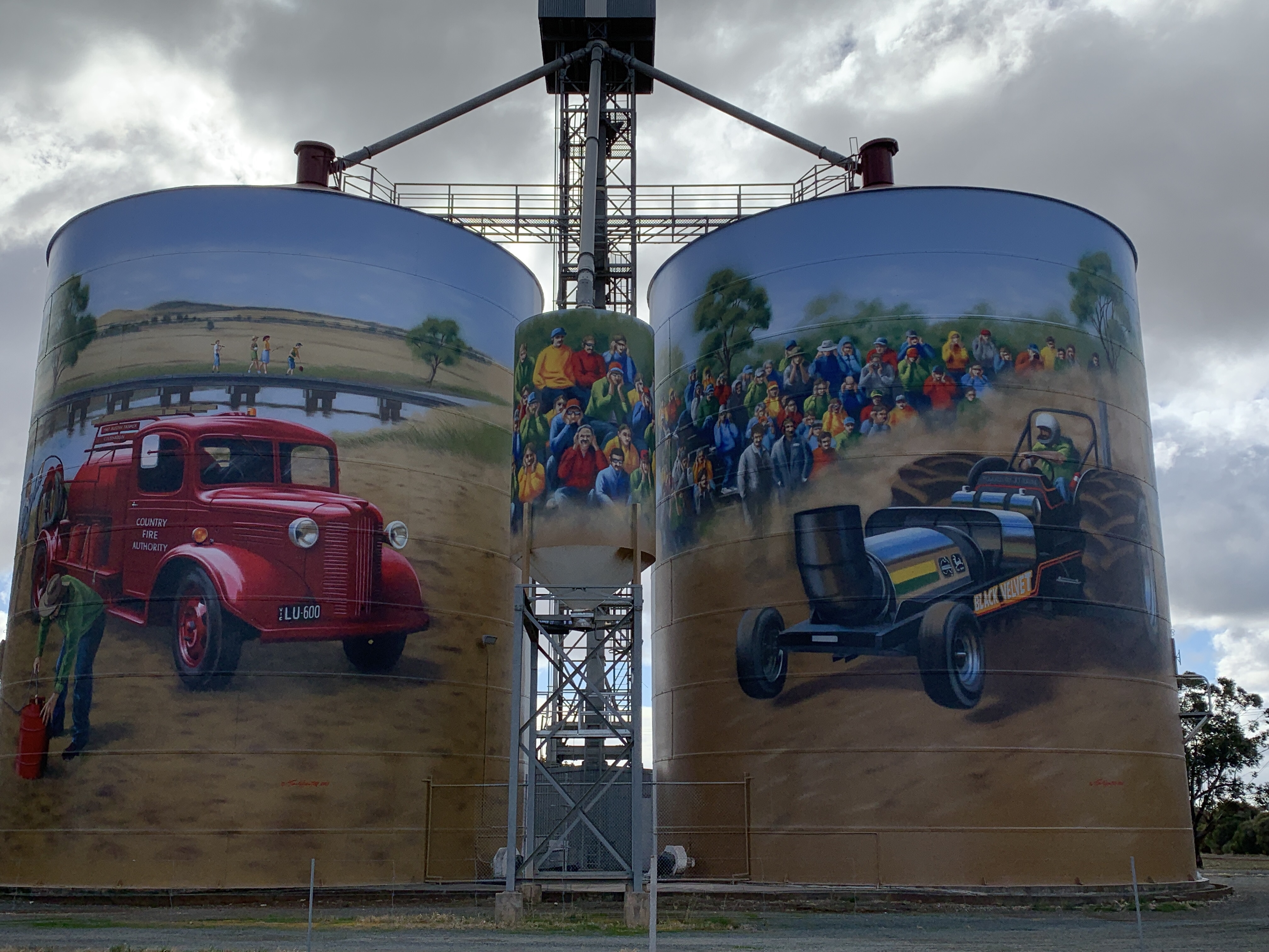
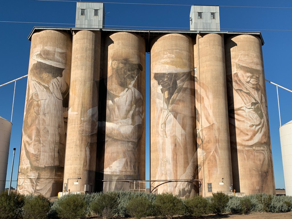
We continued on into Cobar and had to stop at the famous Cobar sign and take the obligatory photo. I thought it turned out pretty well.

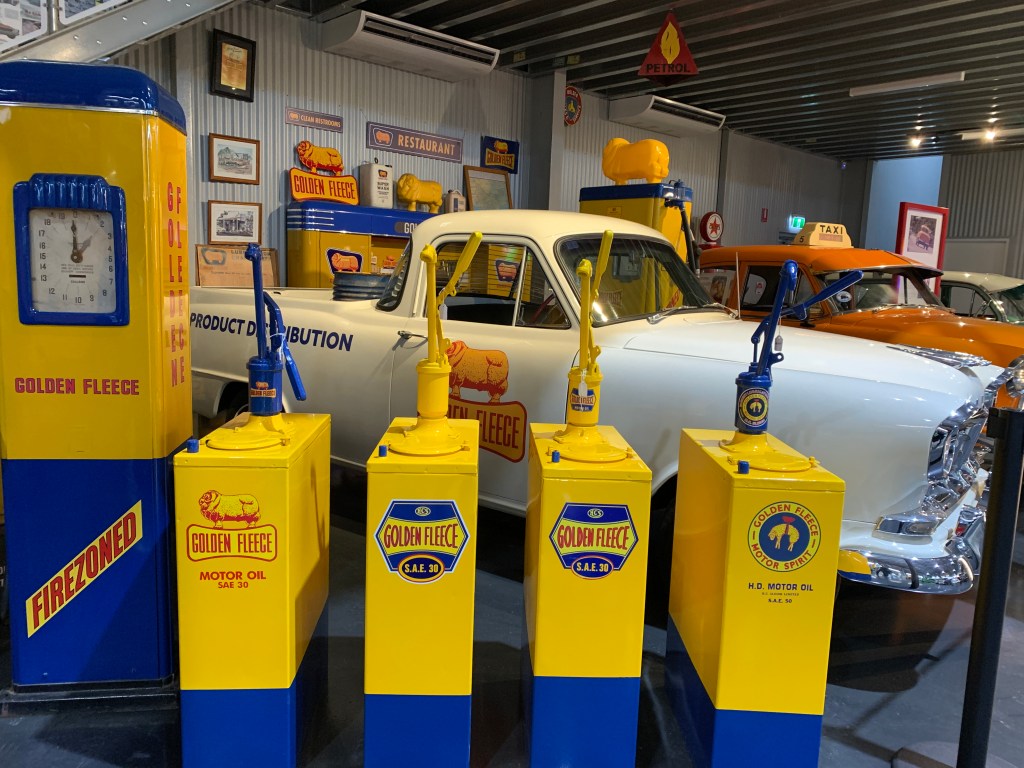
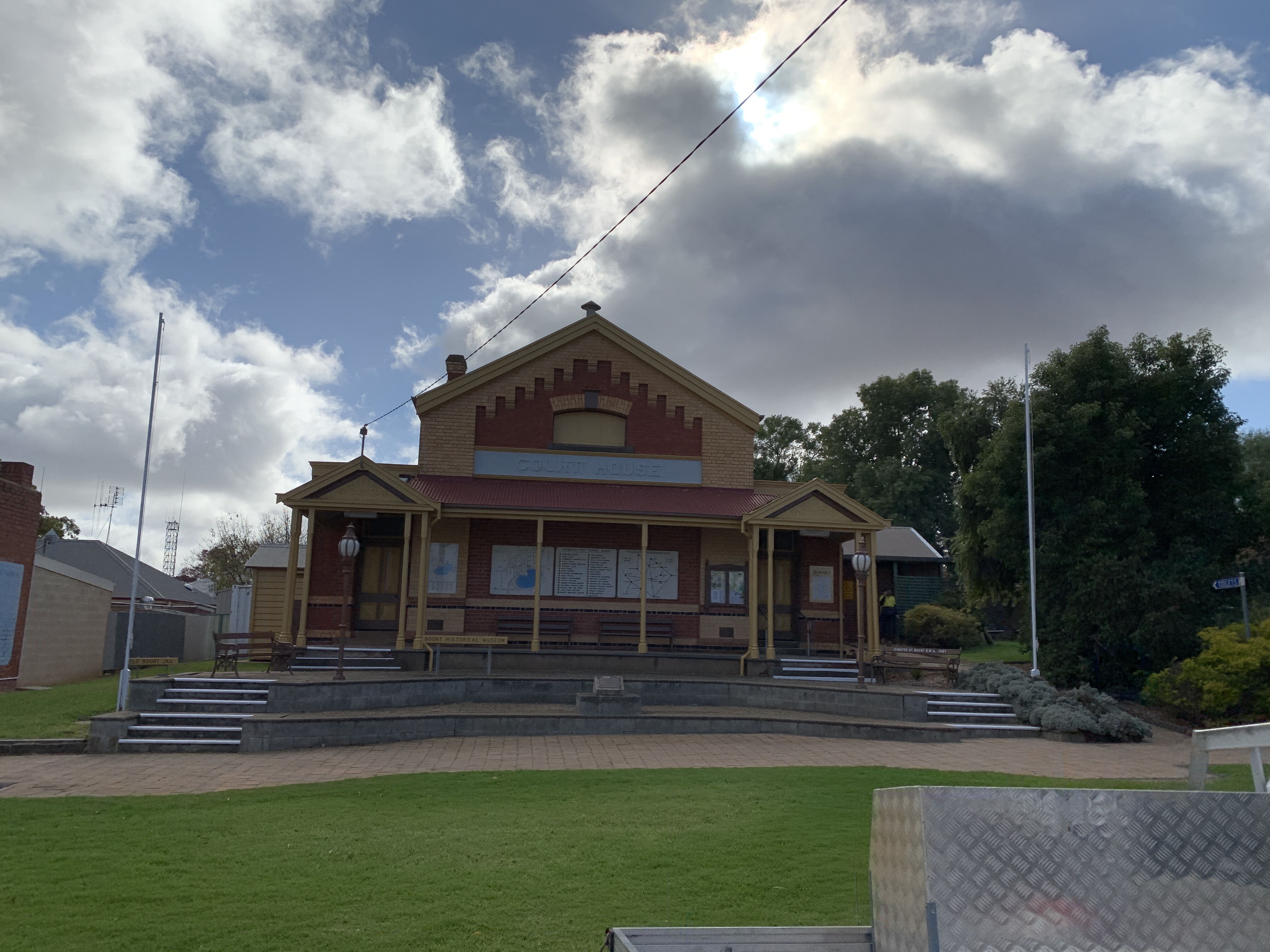
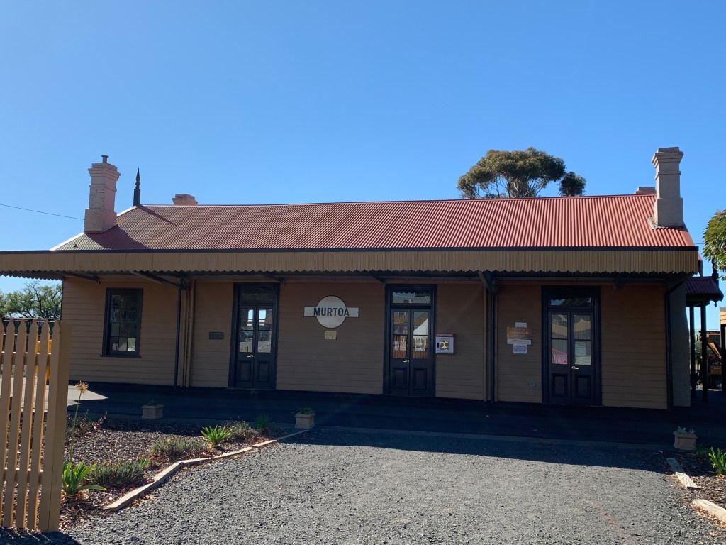
I was very disappointed to find the Cobar Heritage Centre and Museum is currently closed for renovations. I was really looking forward to going to that. Oh well. We will just have to come back another time.

I wanted to go there for a special reason. Copper was first discovered in Cobar by three tank sinkers, Danes Ferdinand Emilius Kempf (known as Charles Campbell), Jens Arnholdt Gottfred Albrecht Hartman (know as Thomas Alfred Hartman) and Scotsman George Samson Gibb. The three of them were sinking a tank near the Kubbur waterhole where they camped overnight. They were impressed with the blue and green colours of the rocks and took samples with them.

They headed south and they met up with Mr & Mrs Kruge (remember them from Gilgunnia?). Now Mrs Kruge was a Cornish woman who had worked at the copper mines as a girl. She recognised the samples as being copper and this was confirmed by her husband Henry Kruge in his forge at his blacksmith shop.

Tank sinking was forgotten and Campbell, Hartman and Gibb set off for Bourke to lodge a claim. They lodged their 40 acre claim on the 10 October 1870. This was the beginning of the Great Cobar Copper Mine.

Why is this special to me? Ferdinand Emilius Kempf is my great great uncle. His sister Olivia Ricki Wilhemina Kempf is my great great grandmother.

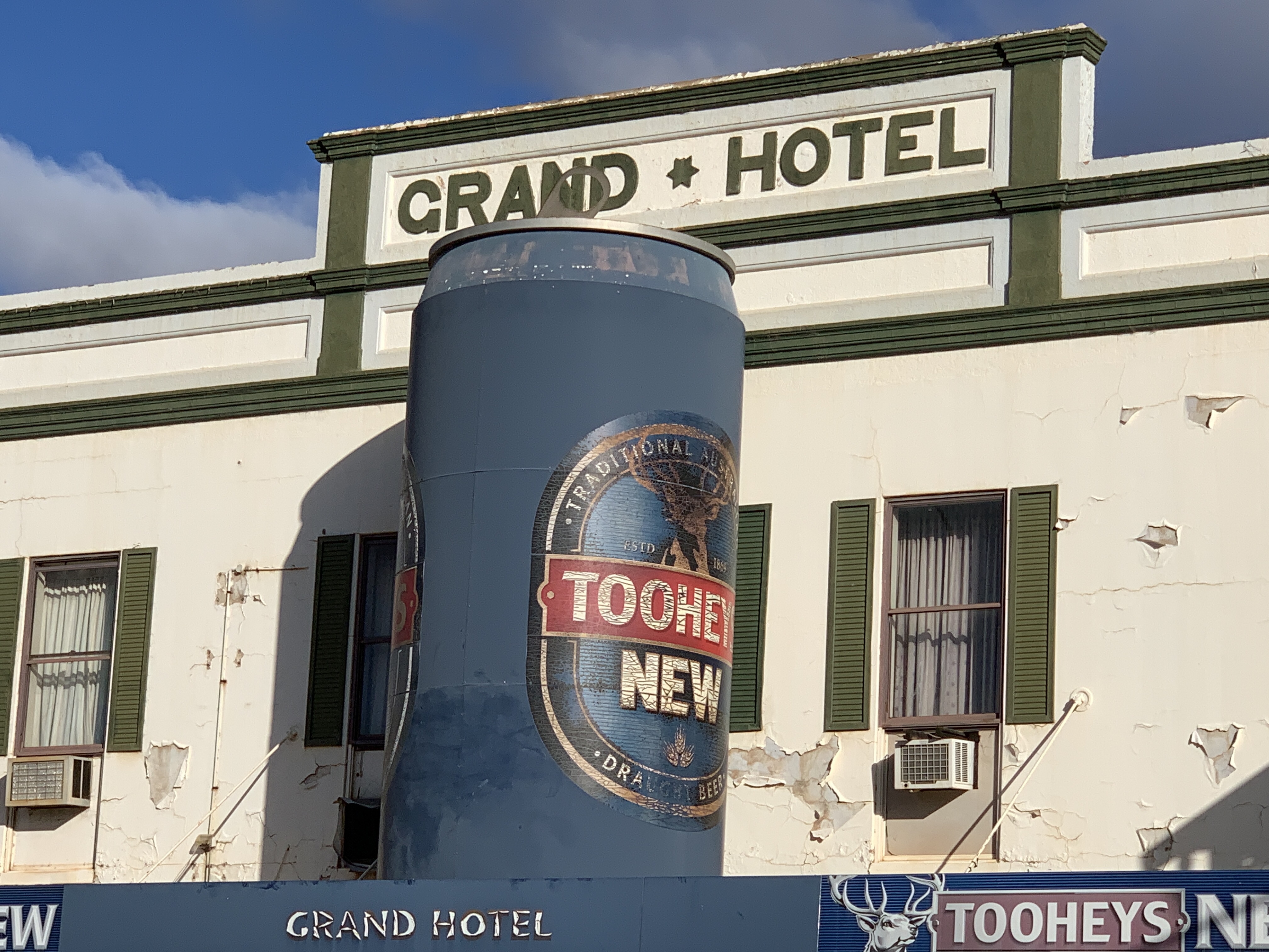
We had a drive around town and found another ‘big thing’…..the Big Beer Can on the roof of the awning of the Grand Hotel.

We found a tyre shop in Cobar and they were able to fix our valve extension. We bought a couple of spares as well. Our TPMS is happy now.

Our camp for the night is a free camp at the Old Reservoir just north of town. This is a large flat area next to the large dam that was once the town water supply. There’s a lot of other campers here too. I don’t know why people would choose to stay in the other free camp in town that is right next to the main road!

Cobar Old Reservoir free camp

BRB here we come!

After passing my Light Rigid driving test in the morning, saying a goodbye to my mum, and having our tyres checked, we set off from Griffith in the early afternoon towards Hillston.

When we arrived in Hillston we noticed our Tyre Pressure Management System (TPMS) was showing one rear tyre down to 55 psi so we called in at the local tyre joint to get it checked. While we were parked under their awning the big storm that we’d seen building as we neared Hillston finally opened up and down came the rain. It poured rain for about 15 minutes, then it eased off, then it hailed for a few minutes. I’m glad we were parked under the awning when the hail came down. It sounded so loud on the tin roof.

The tyre fitter couldn’t find anything wrong with the tyre so put it back on and pumped it up. We thought we might just stay overnight in Hillston in case the tyre decides to go down again and we would be close to the tyre joint however when we arrived at the little caravan park we found they were completely booked out. What to do?

As we still had a bit of daylight left we decided to head north and maybe make it to Mt Hope. It was not to be. We only went about 20km out of town and the tyre was going down rapidly so we turned around and headed back to Hillston.

We had passed a Rest Area just before arriving in town, opposite the Airport so went there and found a flat spot to camp for the night. We were going to get a bit of truck noise as it was close to the road but we didn’t have much choice. The free camp next to the Lachlan River was a no go after the rain storm had turned the track to mud.

We’d have to get the tyre looked at again in the morning.

And we’re off!

GVM Upgrade – what’s involved?

Well, what a process this has been! We purchased our 2013 Avida Esperance in 2016. It had done 33,000km at the time. As we have traveled we have added things to it such as an extra water tank, removed the tiny 150W inverter and installed a 1000W inverter, added a couple of 12V points and fitted a washing machine under the lift up bed. We have also taken out the microwave and are having a cupboard made to fit in the space it left behind. We have also had the large bottom drawer in the kitchen rebuilt and fitted with heavy duty runners as the ones that were original were just not up to the job.

We have made these changes as we have found over time that we prefer to camp in more remote places, mostly off the grid. Nothing beats being in a fabulous spot all by ourselves camped by a river, on a point overlooking a lake, next to a beach where we can hear the waves crashing or just in the bush where we can sit around our little fire pit.

To camp like this we needed the extra water, the larger inverter and we never used our microwave as it required 240V power. Instead we used it as a bread bin! It will be better to have the useful cupboard space instead.

Another thing we have purchased, but are yet to use, is a second cassette for our toilet. We bought it as we didn’t want to be camped in a great spot and be forced to pack up and go just to empty the cassette. We find we only get 3-4 days out of one cassette as we use our toilet all the time. We were limited by the amount of fresh water we can carry but we now have 180L on board. At roughly 15L per person per day this means we can camp out for 5-6 days. We can even stretch this to a week if we are really careful with our water usage.

Having made all these changes we were concerned that we would now be overweight. The GVM on our registration is 4495kg and the tare is 3790kg. That only leaves room for a small payload of 705kg and this has to include us, all our water, our fuel, food and clothing, wood, tools, my kayak, the washing machine, wine, our two heavy ebikes on their rack and all the other stuff we think we need. On our last trip we were able to test this as we came across an unmanned weighbridge in SA that is free for travellers to use. This was too good to pass up and as we drove onto the weighbridge a digital display on a pole in front us gave our weight as 4890kg. Almost 400kg overweight! We had just filled up with fuel and water in the previous town so this gave us a really accurate measurement of what we truly weigh most of the time. It was time to investigate upgrading our GVM.

Silly me! I thought this would be a reasonably straightforward process. When Avida import the Iveco chassis they build the motorhomes on they can choose to have the lower 4495kg rating or the higher one of 5200kg. The Iveco 50C can be rated at either. I’m guessing it is to enable the motorhome to be driven on a car licence that they choose the lower rating. However then you come across the same problem we find ourselves in.

I researched the internet to find out what to do to upgrade the GVM and there was lots of information but most of it was conflicting. OK so first up I contacted Avida, the manufacturer of the motorhome. They helpfully replied and said I need to contact Iveco and gave the contact details. I then contacted Iveco and they forwarded my details to the nearest local Iveco dealer which just happens to be in Wagga Wagga 200kms away. The fellow there was helpful and completed an online form which then was sent to Iveco who then sent a Rating Confirmation Letter saying that the vehicle could be rated at either weight. The dealer suggested I take this to Service NSW along with the rego papers and they should be able to process the change. This Rating Confirmation letter cost $231.

Well going to Service NSW was an experience……..NOT. The lady I spoke to there had no idea what was needed and had to contact another department. Apparently they were all at a meeting so she suggested she give me call when she knew what the process was. I did some further research of the Service NSW documentation and found that I may need an engineers certification. After asking the mechanic who looks after our motorhome who in our area is certified to do an upgrade to Light Rigid he gave me the name of a local engineer.

Luckily, when I called the engineer, he was coming to Griffith in a few days and would call out to our place and do the compliance check. He did this, took lots of photos and would send the certificate and modification compliance plate once completed. This was duly sent along with an invoice for $650.

Next step was to take all the documentation to Service NSW along with a completed Change of Details form and have it processed. Sounds simple really! Alas a rule change has meant that ALL vehicles over 4.5t now have to have National Heavy Vehicle plates and the plates were on the motorhome which was down at the mechanics. So off to the mechanic to get the current plates from off the vehicle and back to Service NSW. Finally GVM upgrade was processed and new NHV plates were issued.

The next step was to get a heavy vehicle pink slip. Our mechanic was able to do that and, as the motorhome was in for a service, he was able to do the pink slip at the same time.

Back again to Service NSW and rego was renewed for another year. When we get back from our next trip I will need to order an Auxiliary plate for our bike rack.

As the motorhome will be rated as Light Rigid I will need to upgrade my licence to Light Rigid as well. Richard already has a Light Rigid Licence so I am able to drive it as long as Richard is in the vehicle ‘supervising’. This might be OK most of the time but there are occasions where I drive it on my own so an upgrade to my licence is needed. This involves sitting for an online Driver Knowledge Test at your local Service NSW. I downloaded the test questions from their website and practised the online test a few times before booking a test time online. I’m happy to say I passed that one with 100%. Really the only questions that I needed to learn were the ones related to trucks, loads, heights etc. The other questions are really just general road knowledge and if you’ve been driving for as long as I have you should know those already.

The next step is the Driving Test and that is booked at the time you pass the Driver Knowledge Test. You can take the test in your own vehicle so was able to do it in the motorhome. I’m happy to say I passed the test and now have a Light Rigid licence.

What a long winded process but I’m happy it is done now and we can travel knowing we are within our legal weight limits.

Where to next?

I’ve mentioned it before that I love to research and plan our future trips. So where are we going next?

We are off to the Big Red Bash in Birdsville Qld. The Big Red Bash is a 3 day music festival held out in the Simpson Desert alongside the giant sand dune known as Big Red. Each year some 10,000 intrepid campers set off for this outback event. It had long been on our bucket list and when it was announced in 2019 that Paul Kelly was to be the headline act for the 2020 Big Red Bash we just had to get tickets for that. Sadly, due to the COVID-19 pandemic sweeping our world the 2020 event was cancelled however the organisers let us know that our tickets would carry over to 2021. So here we are in 2021 and it looks like the event we’ve waited so long for will go ahead.

Our original group of Red Bashers has changed a little and we are now a group of 8 couples who will meet up in Birdsville on Saturday 3 July. We come from all over NSW and Queensland and will make our various travels to meet up at the Birdsville Common. We have all purchased 2 day Early Entry tickets and to be able to camp together as a group we must all roll in together on the Sunday. Our group consists of 7 caravans and our motorhome.

So what’s our planned route?

We plan to leave home on Thursday 17 June and head to Birdsville via
– Cobar
– Bourke
– Cunnamulla
– Charleville
– Blackall
– Barcaldine
– Longreach
– Winton
– Boulia
– Bedourie

We will have a week at Birdsville and then our group will split off in different directions. We plan to head north to Mt Isa for a few days and then further north to Gregory and Boodjamilla National Park where we have booked to stay at Adels Grove Campground.

The trip home from there is still in the planning but may include a visit to Carnarvon Gorge.

Our group has called ourselves ‘BRB Makin’ Memories’ and we have our fishing shirts to go with it. Don’t they look fabulous? We won’t lose each other with these on! Only 7 more sleeps!


Apple TV in our Motorhome

On our recent trip following the Murray River and exploring the amazing Silo Art in Victoria we took our Apple TV with us. Neither of the 2 TV’s in our motorhome are SMART TV’s and in the past when we wanted to watch a movie or TV show on Netflix or Stan it was a complicated process to connect my iPad to the RV Wifi (on an old phone), connect it to the TV with an HDMI cable and then open Netflix app on the iPad and watch it on the TV.

The Apple TV has made this a much easier process. The Apple TV connects to the RV Wifi network and just plugs into the HDMI point on the TV. The power cord has to be plugged into either a 24V power point or the inverter power point. Then you just watch the Apple TV the same as you do at home. We found on this recent trip as long as we had at least one bar of mobile service we could watch something with no problem.

Our RV Wifi network is set up on an old iPhone that we had lying around the house. It has a data only SIM from Aldi installed which uses the Telstra network and we set up the phone as a hotspot for all our devices to connect to. This works quite well except the the hotspot does turn itself off if it is not being used and you have to reconnect again. For this reason I have purchased a Netgear Nighthawk M2 and will give this a try on our next trip. This should make it easier as we won’t have to connect to the hotspot all the time as the Nighthawk will continually broadcast. I will let you know how this works down the track.

Final weekend of our Murray River Run

After checking out the Silo Art at Colbinabbin and Rochester we made our way back across the Murray at Echuca and headed north to Deniliquin. We checked into the McLean Beach Holiday Park and as they were not busy we could choose our site.

Our friends Jim & Chris were to join us on the Saturday and they had hired a caravan via Camplify. This van would be delivered to the park at 8.30am on the Saturday and would be all set up for them. Our other friends Kevin & Sally would arrive later on Saturday towing their caravan which they have recently purchased. Kevin and Sally didn’t know that Jim & Chris were coming as it was to be a surprise.

The friendly lady at the office said we could ‘circle the wagons’ if we liked so we could all have our awnings facing towards the middle. This was only able to be done because they were not busy and had plenty of room.

We picked a site where we could have our awning out and the hire van could be pulled in behind us with its awning facing towards us. That would leave enough room for Kevin to drive through and leave their van hooked up but still have their awning facing towards ours. This would make is easier for them as they were only staying one night.

That was the plan!

We set up our camp, put out the awning and I added solar fairy lights to it, put up the clothes line and got our chairs and fire pit out. I did a few loads of washing while we had access to water and got those hanging out in the sun while Richard used his MacBook to do some crypto currency research. Later we went for a ride on our ebikes to pick up some groceries and some wine. That evening we enjoyed a lovely little fire and a BBQ dinner cooked on our Bidgee BBQ.

McLean Beach CP is right next to a large sandy beach on the Edward River. It has a lot of permanents but also has cabins, powered and unpowered sites, a couple of glamping tents and all the usual amenities including a small jumping pillow and playground and an excellent camp kitchen BBQ area. It is $32 per night for a powered site and we managed to get a pay for 2 stay for 3 deal. So $74 for 3 nights. The sites are all grass and quite flat. Power, water and sullage is available for each site. Pretty good for a CP.

On Saturday morning the hire van arrived and it was huge. Caravans are measured on the inside and this one was a 21′ so by the time you add the A Frame drawbar at the front end and the rear bar with two spare tyres on it it was probably about 28′ long. Our motorhome is only 26′ long. Not sure what Jim & Chris were going to think when they arrived!

Jim & Chris arrived late morning and quickly unpacked and settled into their hire van. They also thought it was huge but quite luxurious. We were just sitting around chatting when Kevin and Sally arrived and they were surprised to see Jim & Chris. After Kevin & Sally were set up a few of us decided we would go and check out The Depot. This is a private car collection and motor museum. Richard and I rode our ebikes and met up with Jim & Kevin at The Depot. I’m not sure what I expected but I was gobsmacked after entering this incredible museum. It is HUGE and filled with glorious vehicles of every sort as well as other collections including children’s toys, 50’s household items, Elvis memorabilia and more. It is fabulous and well worth a visit. I’m not really into cars but this museum is more than just cars.


Back at camp we enjoyed a great night of socialising around the little fire pit.

Sunday morning saw Kevin and Sally pack up and depart and head for home. Deniliquin has a lovely paved walk along the Edward River from McLean Beach to Willoughby’s Beach and the four of us (and the two toy poodles) decided to get a bit of exercise and follow the path. It was a lovely walk that took us along the riverbank, past the Ute on a Stick, under the bridge and onto the Island Sanctuary. This is a great place to spot native animals and birds. Once though the Sanctuary you pass the first town water supply tower and Memorial Park sporting grounds. You enter the Murray Valley Regional Park before finishing the walk at Willoughby’s Beach. Then we turned around and walked back along the riverside. We enjoyed another night around the fire pit.

Jim & Chris had packed up and left before we got out of bed on Monday but we were up and heading out of the park about 9.00am and on our last leg towards home but not before we stopped to have a look at Deni’s painted water tower. Love this one with it’s Kookaburra.

We arrived home about lunchtime and it was good to be home after a month away. As we were unpacking the MH I commented to Richard that our house feels huge now after living in the MH for a month. Do we really need all that space?

Murray River Run – Camping Cost Stats

I’ve always recorded each of our overnight stays in a log that I keep in a clipboard in the pocket above the windscreen visor. I also record when we get fuel, gas and wood. These are our final stats for this trip.

Free Camps
SS&A Club Carpark, Albury 3 nights
Yarrwonga Common 1 night
Lock 9 Lake Cullulleraine 1 night
Our friends front yard in Waikerie 2 nights
Hettners Landing, Walkers Flat 1 night
Point Sturt Lookout 1 night
Kingston SE RV Park 2 nights (usually $10 but some nice person had left a valid ticket in the parking meter)
Greenrise Lake, Penola 1 night
Lake Lascelles, Hopetoun 1 night

Low Cost Camps
Echuca Rotary Park 1 night $10 and $5 to use Dump point & water
Lake Boga 1 night $15
Frank Potts Reserve, Langhorne Creek 1 night $5
Parnka Point Pelican Campground, Coorong NP 1 night $16.50

Caravan Parks
Big4 Holiday Park, Mannum 4 nights $15 (while we were on The Murray Princess cruise)
Big4 Holiday Park Mannum 2 nights $40
Big4 Holiday Park, Port Elliot 1 night $40
Hindmarsh Island Caravan park 1 night $25 (with Seniors discount)
Lake Charlegrark Caravan Park 1 night $30
Horsham Riverside Caravan Park 1 night $38
Green Lake Reserve 1 night $20 (power only)
McLean Beach Caravan Park 3 nights $36 (Pay for 2 stay for 3)

Total nights = 31
Total Free Camps = 9 (13 nights) $0 cost
Total Low Cost Camps = 4 (4 nights) $51.50 cost
Total Caravan Parks = 8 (14 nights) $365 cost

Total camping cost so far = $416.50/31 nights = $13.44 per night

Fuel
$89.02
$77.01
$117.16
$38.00
$64.50
$91.01
$53.79

Total = $530.49

Gas
$24
$24
$24

Total = $72

Fire Wood
$14
$16
$9.45
$14

Total = $53.45

Leaving the Wimmera & some more Silo Art

The Wimmera is a vast plain in north western Victoria. The Wimmera extends from the Grampians National Park to Lake Albacutya, near Rainbow, and from the South Australian border in the west to Navarre in the east. It is the largest area in Victoria for growing of crops. Vast paddocks of wheat and other cereal crops are grown here. This land would have once been mallee scrub but since white settlement it has been cleared for cropping. The only stock we saw as we cross crossed The Wimmera following the Silo Art Trail were sheep.

The Wimmera River is the largest Victorian river that does not flow to the sea, but instead flows into a series of terminal lakes. The largest of these terminal lakes are Lake Hindmarsh and Lake Albacutya.

Roughly 25% of people in the Wimmera rely directly on agriculture for their income. The roads are long and straight and the farm houses are a long way apart out here. Once you get off the highways the roads are a bit of a rollercoaster. We bounced up and down along them but were still able to cruise along at 90km/h. Most of the Wimmera is very flat

This area gets some 16 inches of rain a year and this is enough to plant multiple crops a year. 25% of Victoria’s Wetlands lie in the Wimmera, mostly in the south west.

Horsham is the largest town in The Wimmera with some 16.500 people.

The Wimmera

After leaving our overnight campsite at Green Lake Recreation Park we headed to the next silo art on the trail at Nullawil. Sam Bates was the artist commissioned to paint the silo at Nullawil and only took 14 days to paint the man with his dog.

As we left the Wimmera and headed east into the town of Boort. we started to see irrigation canals. Some of the crops recently sown in this area are just starting to sprout green shoots. Other farmers were busy sowing crops using their huge tractors and giant seeders. Some of the tractors have tracks instead of wheels.

I found it very interesting the the area around Boort is one of Australia’s premium tomato growing areas having been introduced in the early 1970’s by farmer Mario Brunelli.

The town of Boort is situated on Little Lake Boort and this is a popular place in summer for water sports. There are walking trails around the lake and it is also a popular place for bird watching.

We travelled along back roads until we reached the small town of Colbinabbin. Wow their silo art is amazing. They have a large concrete conjoined silo in the middle and two metal silos on either side. Artist Tim Bowtell has painted them with scenes that reflect the area.

On the leftmost silo is a scene from the Colbinabbin Farmers Picnic, an annual event started in 1878 and ran for sixty years.

The next silo depicts the railway station. The steam train arrived in 1914 to support agriculture and to bring passengers.

The middle conjoined silos have the steam train.

The next one across depicts the the first 1947 Austen Tanker Truck of the Country Fire Service. In the background is a couple of children crossing a bridge over the man-made Waranga Western Main Channel, the lifeline of the community.

The last silo depicts the Colbinabbin Tractor Pull. This is another annual event started in 1982 and is still held each year.

We continued on northwards to Rochester and our final silo art for this trip. The two silos at Rochester were painted by artist Dvate and depict an Azure Kingfisher and a Squirrel Glider.

The Silo Art Trail, Victoria

The first Silo Art we came across on the trip was the silos at the tiny community of Goroke on our way to Horsham. The artwork was painted by artist Geoffrey Carran and features a Kookaburra, a flying Galah and a Magpie sitting on a barbed wire fence. I particularly liked the barbed wire. It looked so real.

In Horsham we stayed at the Riverside Caravan Park right in town alongside the Wimmera River. It was $38 per night for a large flat patch of blue gravel with power, water and sullage point. Not sure what the amenities are like as we didn’t use them.

We set off the next morning following the Silo Art Trail. Our first stop on the Trail was the town of Murtoa where we called in to visit the Stick Shed. The Murtoa Stick Shed was built during World War II in 1941 when Australia couldn’t export the wheat we’d produced and needed somewhere to store it. It was built as emergency grain storage and was built in just 4 months. It is constructed from 560 unmilled poles (sticks) that support a corrugated iron roof. The shed spans the length of five Olympic swimming pools.

The shed is listed on the Victorian Heritage Register and is 270 metres long, 60 metres wide and 19 metres high at the ridge.

The shed continued to be used for grain storage until 1989 however the heritage significance of the structure was recognised and it was listed on the Victorian Heritage Register in 1990.

Walking into the Stick Shed feels a bit like walking into a huge cathedral. It was quiet in there and the soaring poles lead your eye upward like the columns in a large cathedral. It was amazing. An amazing piece of practical architecture that should be preserved and I’m glad it is being looked after.

After visiting the Stick Shed we visited the Water Tower Museum and Historic Railway Station and the Historical Concordia Lutheran College. The Water Tower Museum is housed in the historic water tower and has four floors of displays. The ground floor houses an incredible display of James Hill’s Taxidermy Bird Collection. It is said to be one of the best collections in Australia. It really is incredible. Hundreds of birds are in display cabinets that James Hill collected and applied his taxidermy skills to. Unfortunately the glass cabinets make it difficult to take good photos of the collection.

The upper three floors house a collection of historical Murtoa memorabilia.

The Railway Station across the road houses a good display of the history of the railway in Murtoa and also has a lot of memorabilia.

The Concordia College building next door to the water tower houses displays of the German and Lutheran heritage of the area. It is also home to the longest ongoing brass band in Australia, the Coromby Brass Band. There is so much memorabilia in the college you could be here for days however my favourite display was a gorgeous rabbit skin fur coat that a local farmer had made for his bride. It was beautiful.

Next it was on to the next town on the Silo Art Trail, Rupanyup. Rupanyup’s silo art work was painted by Russian mural artist, Julia Vochkova. Her work features two local residents, Ebony Baker in her netball uniform and Jordan Weidermann wearing his Aussie Rules uniform. The artist wanted to show the youthful spirit of strength, hope and camaraderie by honouring the role that sport plays in rural communities. This pair of conjoined silos was painted in 2017.

The town also has a mural of a firefighter on the old shire office building. This work was painted by Melbourne street artist Goodie.

The Main Street of Rupanyup is a divided street with a park running down the middle. At various points in the park are six wooden sculptures by Gippsland chainsaw artist John Brady.

Our next stop was Minyip where we found a street sculpture in their Main Street roundabout called The Farmer.

Artist Grant Finke from Geelong created the sculpture for the roundabout after the roundabout had received an upgrade. Minyip is famous for being the town where the very popular TV series The Flying Doctors was made.

The Farmer, Minyip

Next stop along the Silo Art Trail was the silos at Sheep Hills. This artwork is by Melbourne artist Adnate and he has used his work to tell the stories of indigenous people and their native lands. Adnate spent time in the community in 2016 and chose local Wergaia Elder, Uncle Ron Marks, and Wotjobaluk Elder, Aunty Regina Hood along with two children Savannah Marks and Curtly McDonald as the faces for this work. It is an amazing work.

We arrived in Warrancknabeal at lunchtime. There are three street sculptures on the roundabouts in the Main Street. The first one you come across is a sheep dog, the second on the Federation Place Roundabout has a sheepdog and a group of sheep. On one corner of this roundabout is the incredible Tudor style Post Office built in 1861 and on the opposite is the historic Palace Hotel. On the footpath around theses buildings is an amazing mosaic set in brick paving stamped with local names and businesses that supported this redevelopment of the footpaths and roundabout. The third roundabout has a sculpture of a sheep dog sitting on some bags.

As it was lunch time we found a great spot to pull up at the Lions Flora & Fauna Park next to Yarriambiack Creek. This lovely park has a playground, free BBQ’s and picnic tables. The animal enclosures and bird aviaries house a collection of native birds and animals and there’s also a Guinea Pig enclosure.

On a walk around the park I found a Street Library. This is a a little box on a pole with a glass door. Inside you can leave a book for someone else or take a book to read. What a great idea!

There is plenty of parking and lots of room for our motorhome and we enjoyed having our lunch at this lovely park.

After lunch we continued on the Silo Art Trail and next stop was Brim. Brim takes its name from an Aboriginal word for ‘Spring’ or ‘Well of Water’. Brim’s silo art work was painted by street artist Guido van Helton. The work depicts generations of the local community.

Brim’s silo is illuminated at night by solar lighting. That would be something to see!

Brim’s silo art was the first in Victoria and was completed in 2016. The success of this work shone a spotlight on the Wimmera and inspired the establishment of the Silo Art Trail.

Next stop was at the 36 parallel where we found the remains of the Netting Fence which was built in 1885 from Tyntynder to the SA border to prevent Dingoes and Rabbits overrunning and devastating the pastoral and agricultural land to the south.

Further on in Beulah we found a street mural by artist Kaff-eine of two Arabian horses taking flight. Kaff-eine also painted the Silo Art at our next stop in Rosebery. This work was completed in 2017 and depicts a female farmer on the left and a horseman in his Akubra hat with his trusty horse on the right

By the time we arrive in Hopetoun it was time to find a camp for the night and we found a fabulous spot at Lake Lascelles. This is a small circular lake and the town provides a few powered sites as well as free camping all the way around the lovely lake. We drove around until we found a good flat spot and pulled up for the night. We had a campfire and enjoyed sitting outside watching the sunset across the lake.

Our second day on the Silo Art Trail was an overcast and very windy day. It was 15 degrees outside but the wind made it feel much colder.

Our first stop after leaving Lake Lascelles was the tiny township of Woomelang where we found artwork on movable silos at various locations around the town. We also found a fabulous corrugated iron artwork on a wall and a scary snake mural.

Next stop was the tiny community of Lascelles. Their Silo Art, painted in 2017, depicts a local couple whose families have been farming in the area for four generations. This work is by Melbourne artist Rone and he used local farming couple Geoff and Merrilyn Herman as the subjects of this work.

Patchewollock was our next stop. Artist Fintan Magee painted this work and he used local farmer Nick ‘Noodle’ Hulland as the subject. According to Magee, the lanky Hulland was just the right height and leanness to fit on the narrow 35 metre silo. This work was completed in 2016 and depicts the reserved Hulland as the typical Aussie farmer wearing a ‘flanny’, with a solemn expression, sun-bleached hair and squinting into the distance.

Silo Art, Patchewollock

The roads out here in the Wimmera are dreadful. The motorhome bounces up and down like we are on a rollercoaster. The main highways are not too bad but once you get on the back roads we bounced up and down a lot. Some of the roads on this day were just single lane tar roads and when we approached an oncoming vehicle we had to get right off the road while they went past.

Next stop was at Lake Tyrrell near Sea Lake where we pulled in to have a quick look from the lookout. It had started to rain and was very cold so we didn’t stay long. Lake Tyrrell is a huge salt lake, the largest in Victoria at 20,860 acres. It is the terminal lake of the Avoca River/Tyrrell Creek system. Tyrrell Creek flows every 3-5 years but the water does not always reach the lake. There are signs of Aborignal occupation in this area and over 137 cultural sites have been identified. 100,000 tonnes of salt is harvested from Lake Tyrrell and you can see stacks of salt in the distance from the Lookout.

A new boardwalk and Sky Lounge, where you can lie back and view the night sky, has been constructed but it was too miserable outside to visit those. Maybe next time!

Our last silo art for the day was at Sea Lake where they have an amazing artwork by Drapl and The Zookeeper. This work depicts a young girl swinging from a Mallee Eucalyptus looking over Lake Tryell and reflects her indigenous heritage. It also depicts local flora and fauna around the lake.

Day two of following the Silo Art Trail ended at Green Lake Reserve just south of Sea Lake where we found a lovely spot in the campground and pulled up for the night.

Naracoorte Caves

We turned off the Riddoch Highway to go to Naracoorte Caves. We’ve never been there before and I was looking forward to it. Naracoorte Caves are listed on the World Heritage List and along with Riversleigh Fossil Fields in Queensland make up the Australian Fossil Mammal Sites (Riversleigh/Naracoorte).

The fossils of Naracoorte Caves have accumulated over 500,000 years during a time of a series of ice ages. The fossils were well preserved in the sediment of the caves. Over 110 different species of animals have been identified with 25 of those being extinct and the others being around at the time of European settlement. Many of those have since become extinct. Excavation and exploration is ongoing at the caves and who knows what they will find next.

We arrived around noon and went to the Wonambi Fossil Centre where we booked a couple of cave tours and a visit to the Megafauna display. We had time for some pumpkin soup at the cafe before our first tour and it was delicious.

Our tour of Alexandra Cave commenced at 1.00pm from the Wonambi Centre. Our tour guide was a ranger called Gav. Alexandra Cave was discovered in 1908 and was opened for guided tours in 1909. Our 30 minute tour became 45 minutes as Gav’s enthusiasm for the cave bubbled over. This cave has some very fine examples of stalactites, stalagmites, columns, curtains and flow stone. It’s not the prettiest caved I’ve ever seen but still is amazing.

We then did the self-guided tour of Stick-Tomato Cave. This cave is very different from Alexandra Cave as it is much drier. The formations in this cave are covered in a white chalky substance. The ones close to the large entrance are covered in green algae, a result of being in too much light. There was one really interesting formation on the ceiling of this cave called Avens. This is where the roof is formed into lots of hollows by the water dripping into the cave absorbing carbon dioxide and becoming acidic and it dissolves the limestone into these amazing shapes.

Next we went back to the Wonambi Centre to visit the megafauna display. In the entry to the centre is a great display of fossils that have been found including the massive skull of a Diprotodon, the largest creature to have ever lived in Australia. This massive creature could grow to 2500 kgs and was a giant herbivore.

Inside is a re-creation of what the Naracoorte area may have looked like 200,000 years ago based on years of research by palaeontologists. They have been able to reconstruct skeletons of these extinct animals and work out what they looked like and what they ate. The life-sized animated models have been built as scientifically accurate as possible. This group of very large extinct creatures are know collectively as ‘megafauna’ and they roamed Australia alongside many of the animals we still have today. It is still not know why the megafauna disappeared but it was around 50,000 years ago and could be linked to the arrival of Aborigines. Aborigines may have hunted the slow moving megafauna or altered their habitats by burning. Or maybe it was climate change. Australia has experienced several ice ages over the last million years so maybe climate change wiped out the megafauna. Who knows?

Next to the Wonambi Centre is a fantastic children’s playground. It includes tunnels, rope climb, swings and is all made with natural materials such as timber logs and stone. Our grandchildren would just love this place.

Leaving the caves we decided to go and check out their campground and found a lovely little campground with about 12 flat powered sites and a large grass area for tent camping. There was a large group of children camped in tents. Looked like a school group. There is an amenities block and a tennis court. We thought it looked like a great place to bring our grandchildren one day.

We had a great day out at Naracoorte Caves in spite of the weather being miserable, raining and very cold.