You might be wondering what’s happened to us. Where did we go?
No posts for a while and I usually post so regularly whilst on a trip. Simple truth is, there is little to no mobile service in the West MacDonnell Ranges and, if you manage to get a signal, there is no internet. However, I have been writing every day so here’s a few posts in rapid succession. Enjoy the read!
We left our comfortable camps at the Discovery Park – Alice Springs and, after a quick fuel stop, headed west into the Tjoritja/ West MacDonnell National Park.
Aboriginal people have lived in the ranges for thousands of years and call the place Tjoritja (pronounced Choor-it-ja). The ranges as they are now are just a shadow of their former selves. They were once as high as the Himalayas. Can you believe that?
Approximately 850 million years ago most of the southern half of the Northern Territory and much of Central Australia was covered by a shallow sea. During this time sediment layers built up on the sea floor. The sea receded approximately 460 million years ago leaving behind layers and layers of built up sediment.
Between 340 and 310 million years ago massive movements in the earth’s crust pushed the mountains up over 10,000 metres high. Those movements pushed and folded the rock layers and caused great slabs to slide up and over each other.
Over the last 300 million years water and wind have eroded and shaped the ranges to produce the spectacular landscape we have now.
Our first stop for the day was Simpsons Gap. No one knows why it is called Simpsons Gap. It was originally called Simsons Gap and the name was changed to Simpsons Gap but there is no one left who knows the reason why. Who was Simpson or Simson? It’s a mystery!
We called in at the Information Centre however they’d run out of maps. We took photos of the maps of each place on the wall and we would have to use those as our guides.
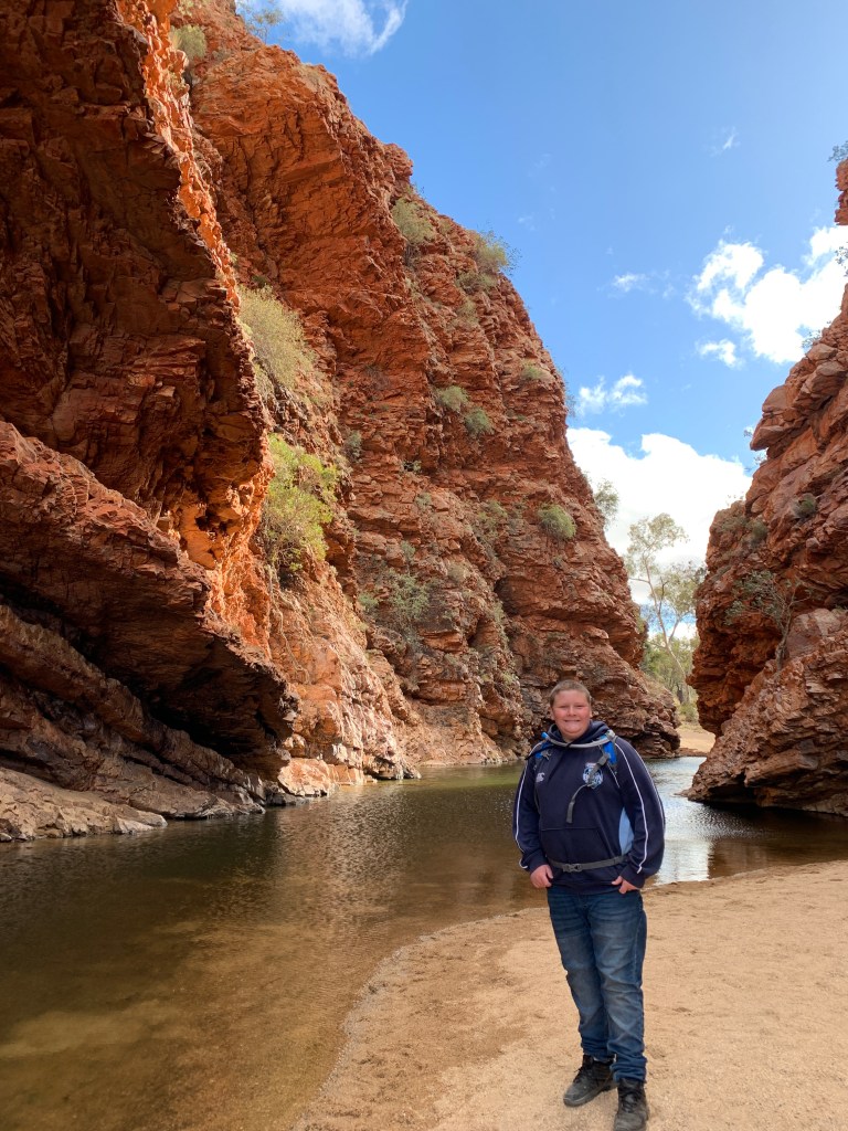
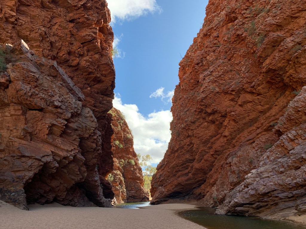
The road into Simpsons Gap is a short one and the carpark was large enough for many vehicles and we had no problem finding a park. It was a short 20 minute return walk from the carpark to the gap along a well made gravel pathway alongside a dry riverbed. The gap did not disappoint. At the end of the walk you are between towering red cliffs with sandy waterholes at the bottom. Just stunning.
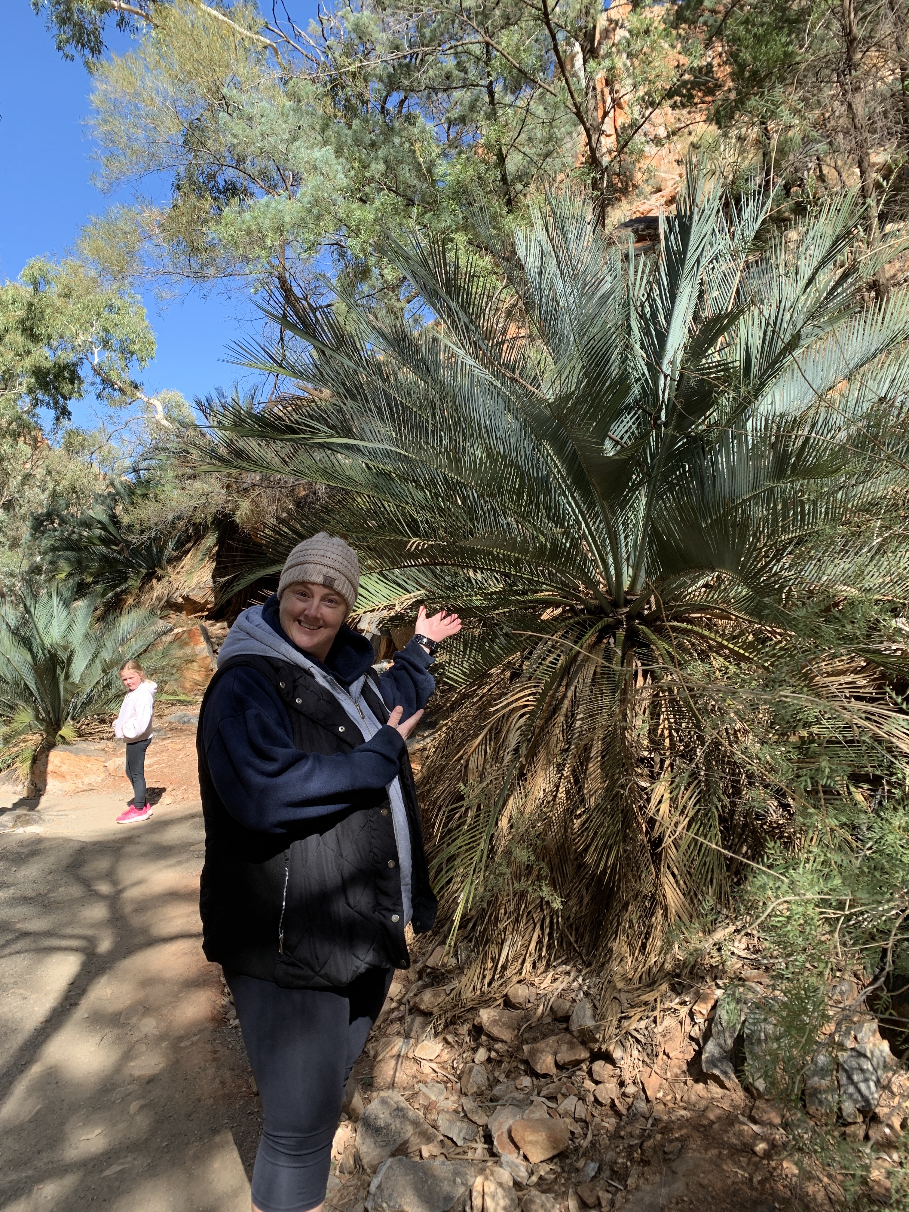
The gap is home to over 40 rare and relict plants and is also home to the Black-Footed Rock Wallaby. We didn’t see any though.


Back in the vehicles we continued westwards and took the turn off into Standley Chasm. Standley Chasm is a bit different to the other places along our route as it is privately owned and run by the Arunda people. They receive no government funding so an entry fee is charged and they have a great little cafe serving hot food and drinks as well as a gift shop. You can also camp in their carpark after the gates close at 5pm and they have powered sites for about 6 vans. There is an amenities block and a grassy area for tents. Standley Chasm is a popular spot for walkers on the Larapinta Trail as they can rest up, have showers and recharge before continuing their walk.
The Larapinta Trail is a world renowned walking trail though the West McDonnell ranges. It is 230km long and is broken into 12 stages. You can do one, many or all of the stages. I got chatting to one of the walkers and their group was walking the entire trail and it was going to take them 15 days including a couple of rest days.
The carpark at Standley Chasm is very small and tight and, while we were able to park the motorhome, Katie had to do a five point turn to go back out and park further down the road as there was no room for a van. We did feel that this could be better signposted as we later saw quite a few large vans pull in and have to do the same thing.
Standley Chasm is a very popular tourist destination and bus loads of tourists arrive daily. Once you’ve purchased your entry ticket you enter through a gate and follow the well worn path into the chasm. The path is wheelchair friendly. The chasm is a marvellous sight. The sandstone cliffs tower some 80m above you and there is a small waterhole at the bottom. The best time of the day to view the chasm is an hour either side of noon when the sun is directly overhead. The sun shines down on both walls of the chasm making them glow. We’d timed our walk perfectly. Unfortunately, so had the hoard of other tourists. It is impossible to get that perfect photo as there are always other people in the way. Oh well. It was still a stunning sight.
When we returned to the entry we decided to give the cafe a go and all ordered our lunch. It was good lunch food and served pretty quickly considering how busy they were.


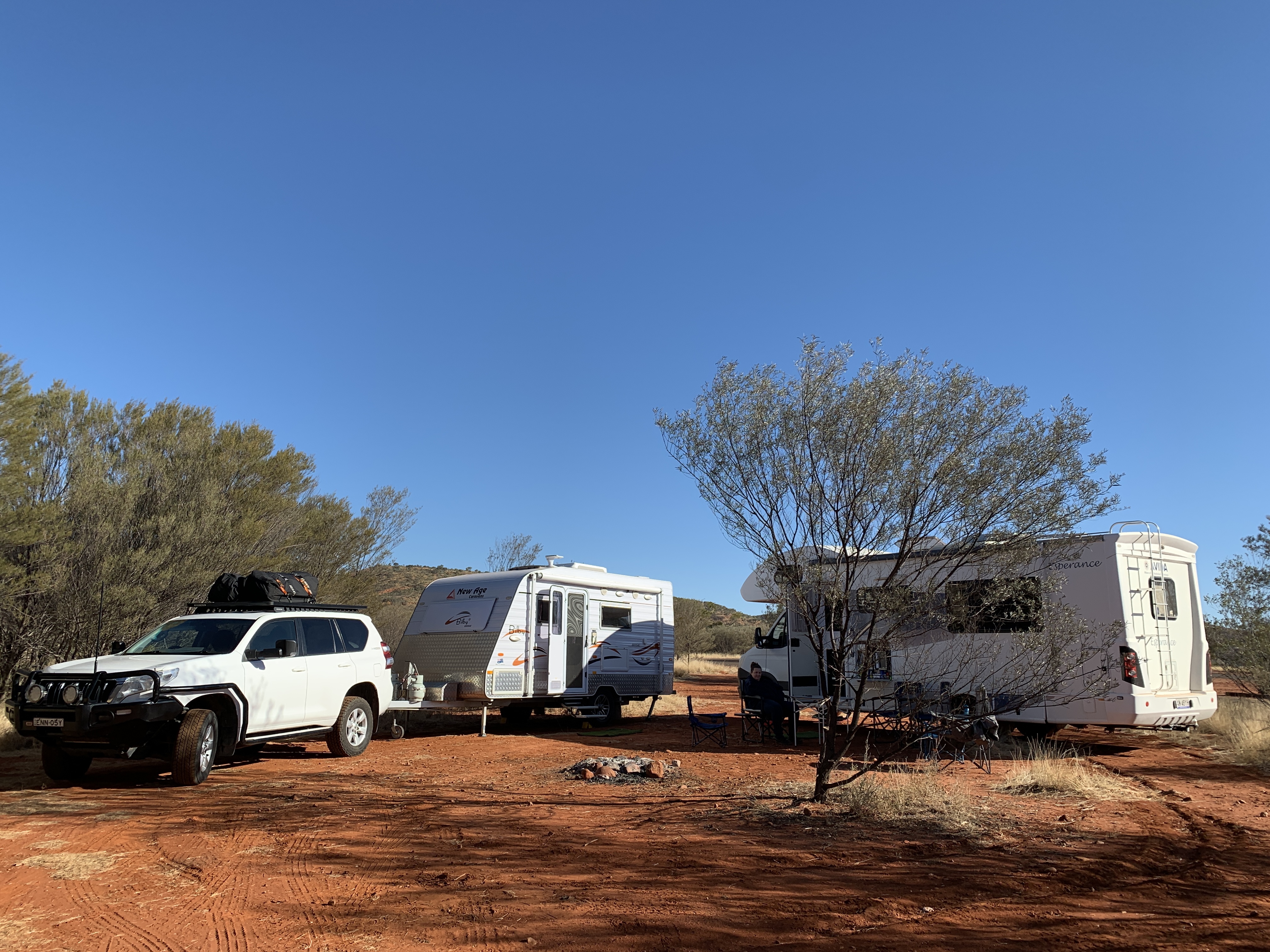
We continued our journey westwards and pulled into Point Howard Lookout free camp. This was a great spot on top of a hill with a large flat area surround by low scrubby trees. You can free camp for 24 hours. We were able to park our RV‘s in close to the trees to block off the cold wind and we had a little camp fire in the centre.
Before we left Alice in the morning I’d put Apricot Chicken on in my little crockpot and it had been cooking all day. Once we were camped up I just had to cook up some rice and mixed veggies and dinner was ready. Delicious.


Ben had a turn sleeping in the motorhome and he was snug as a bug up in the Luton. We all appreciated our microfibre blankets as it was a very cold night. Do you have those? They are the best. They are so light but keep you very warm. We also love our diesel heater.
