It was a very cold night and we had a couple of possums playing on our roof. Every now and then we’d hear a loud thump. We’d wake with a start then nod back off before another thump occurred. Bloody possums!
Our neighbours in the park were a couple of older men camped in a tent. One of them was walking the Great Victorian Rail Trail. He’d started the walk in Tallarook after catching the train from Melbourne and walked 38km yesterday to Yea where he met up with his mate who had the tent all set up. Today he planned to walk to Alexandra on the Rail Trail, another 34km and this section includes the amazing Cheviot Tunnel. The Cheviot Tunnel is Victoria’s longest rail tunnel. His mate would drive to Alexandra to meet him there.
The Great Victorian Rail Trail is 134km in length from the start at Tallarook to the end at Mansfield and includes a side route to Alexandra. On occasion during our drive we’d come across the rail trail and lots of cyclists and walkers using it.
We left Yea and set off the visit Eildon. Our route took us via Alexandra, Thornton and into the village of Eildon. The Taungurung clans are the First Nations people of the area and their country covers much of Central Victoria including Eildon.
European settlers established Eildon in the late 1850’s prior to the gold rush coming to the area in the 1860’s. The name Eildon comes from the Scottish Eildon Hills.
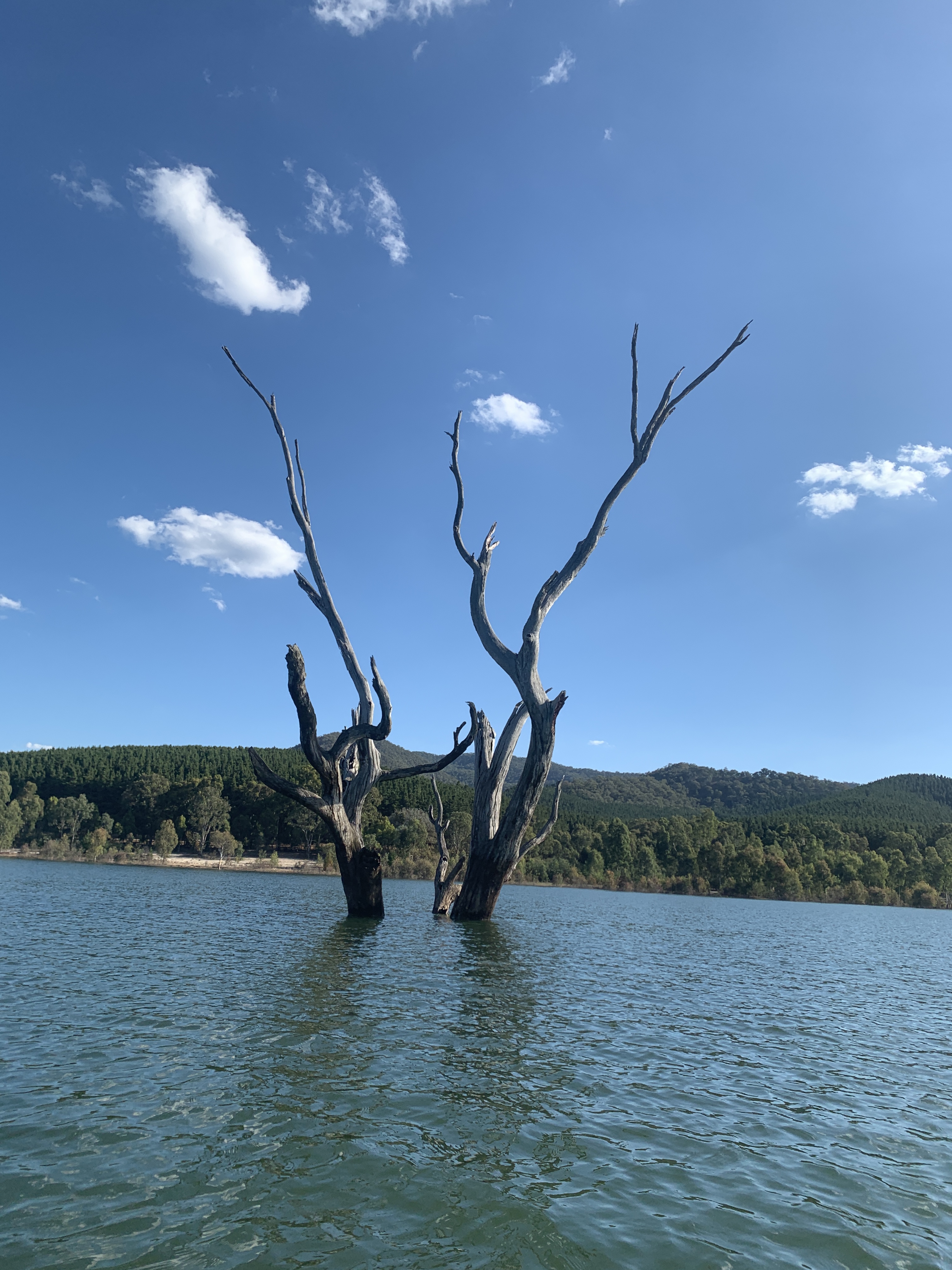
The original storage dam known as Sugarloaf Reservoir was built between 1915 and 1929 and only held 10% of today’s capacity. The dam as we know it was built in the 1950’s and became Lake Eildon. The original Sugarloaf dam wall is still there under Lake Eildon. When full Lake Eildon can store six times the amount of water in Sydney Harbour. The dam was at 85% during our visit. That’s a lot of water.
During the construction of the second dam Eildon became a fully functioning township to house the 1,275 workers on the dam. Lake Eildon now operates as an irrigation supply and flood control storage for the downstream Goulburn River and Goulburn Murray Irrigation District and provides around 60% of the water.
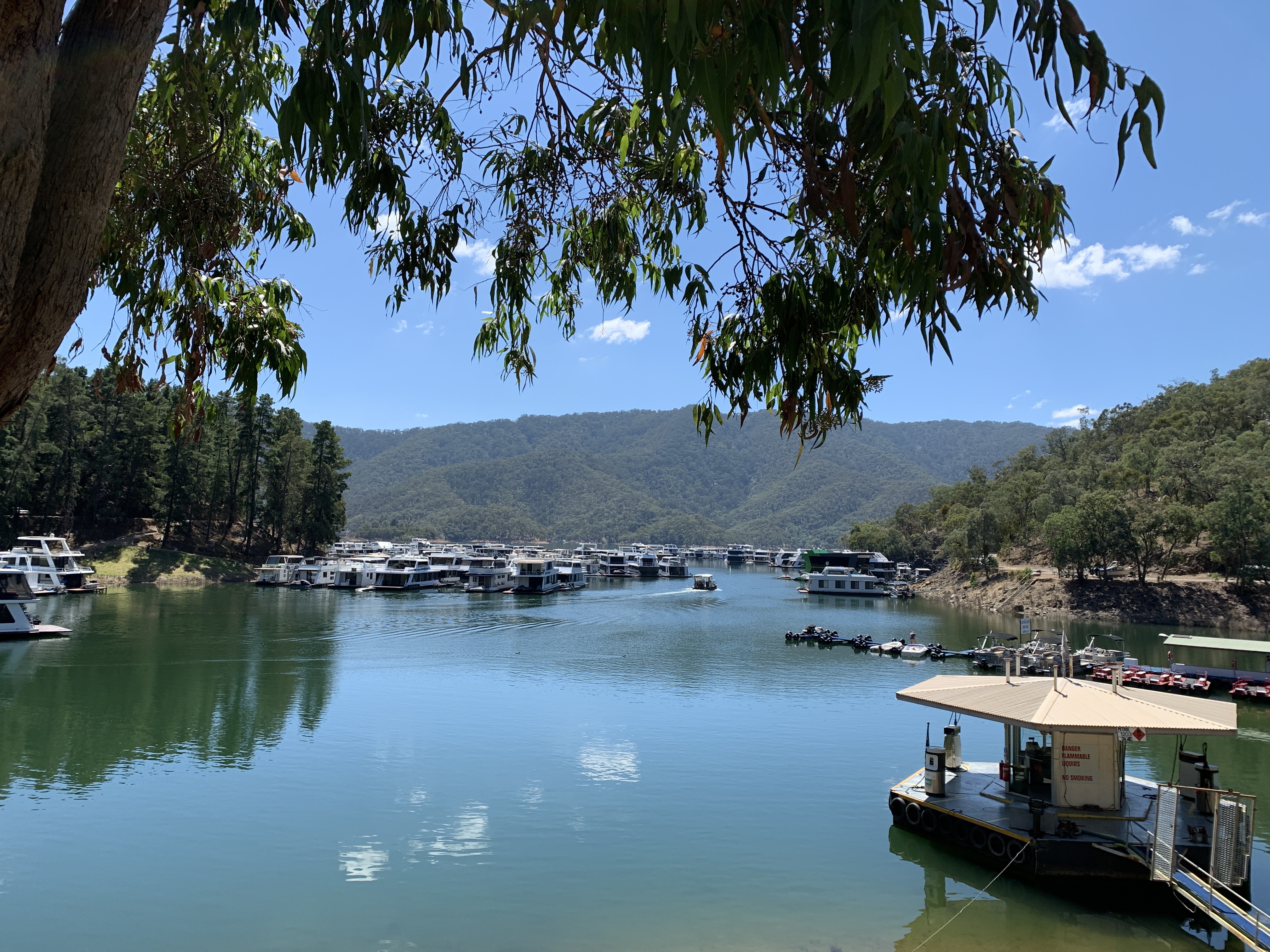
Lake Eildon has become a major tourist attraction for recreational water activities such as fishing, boating, and water sports. Over 750 houseboats call Lake Eildon home.
We stopped in the little town centre and I went to the Tourist Centre only find it is closed on Tuesdays. Oh well. Whilst I was finding that out Richard walked across to the bakery. You know he can’t resist a bakery! I found him sitting on a bench in the village green eating a donut. A friendly cocky came by and wasn’t the least afraid of us humans.
Sadly the little town looks like it hasn’t weathered the Covid pandemic well. Just near the bakery I counted seven closed and empty shops. It all looked a bit sad.
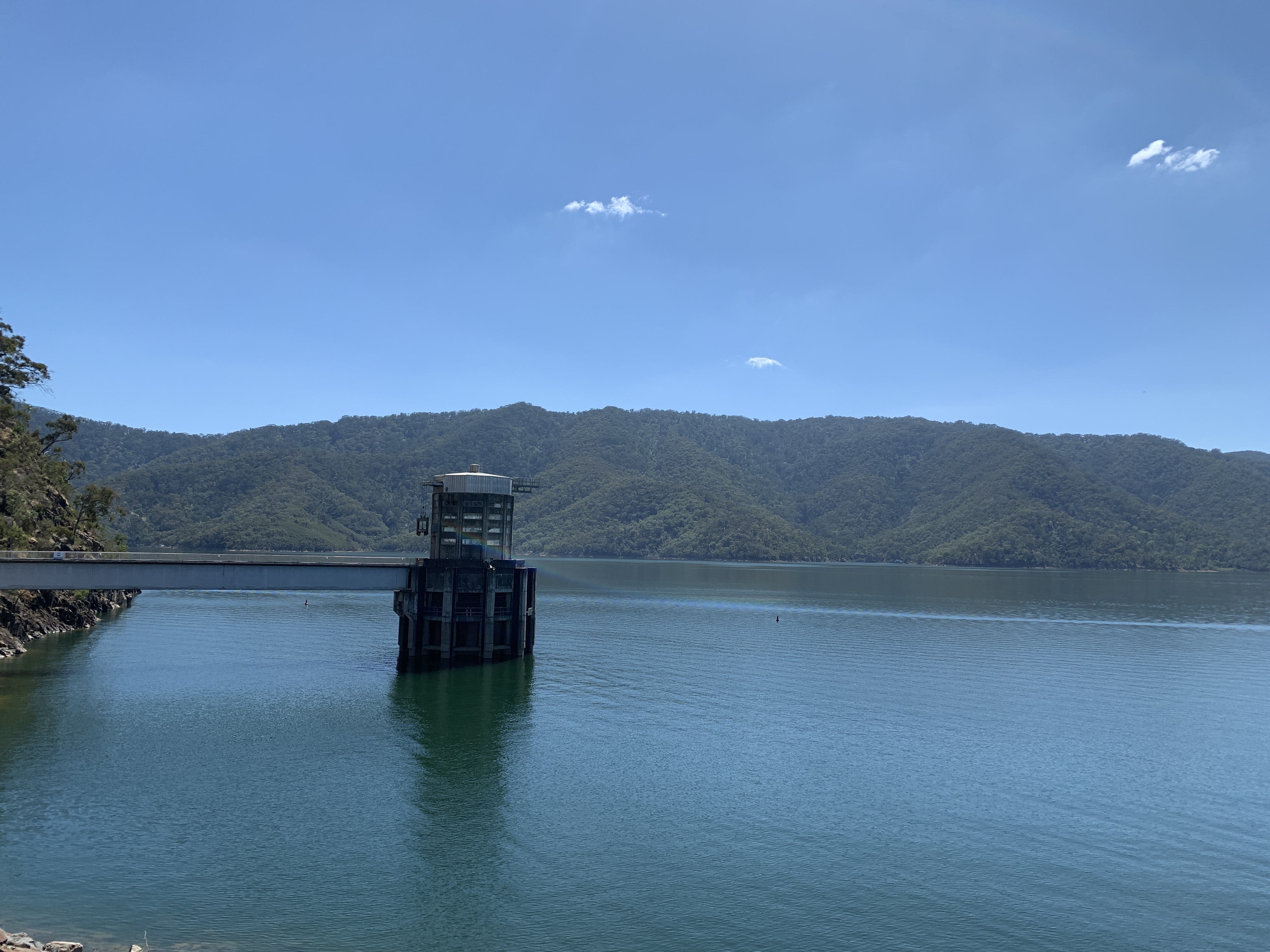
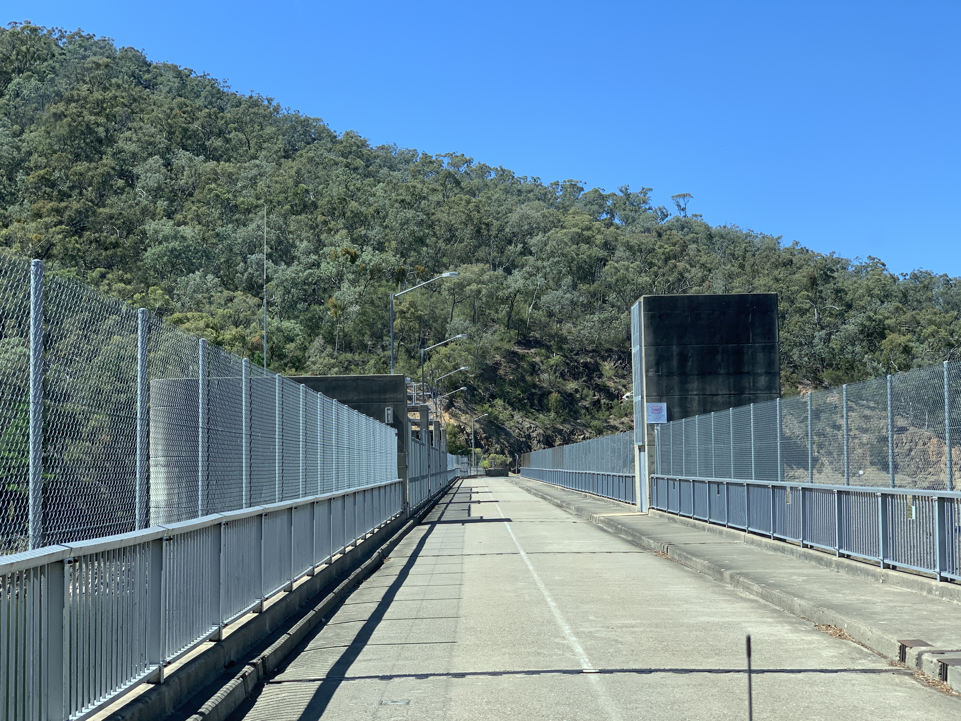
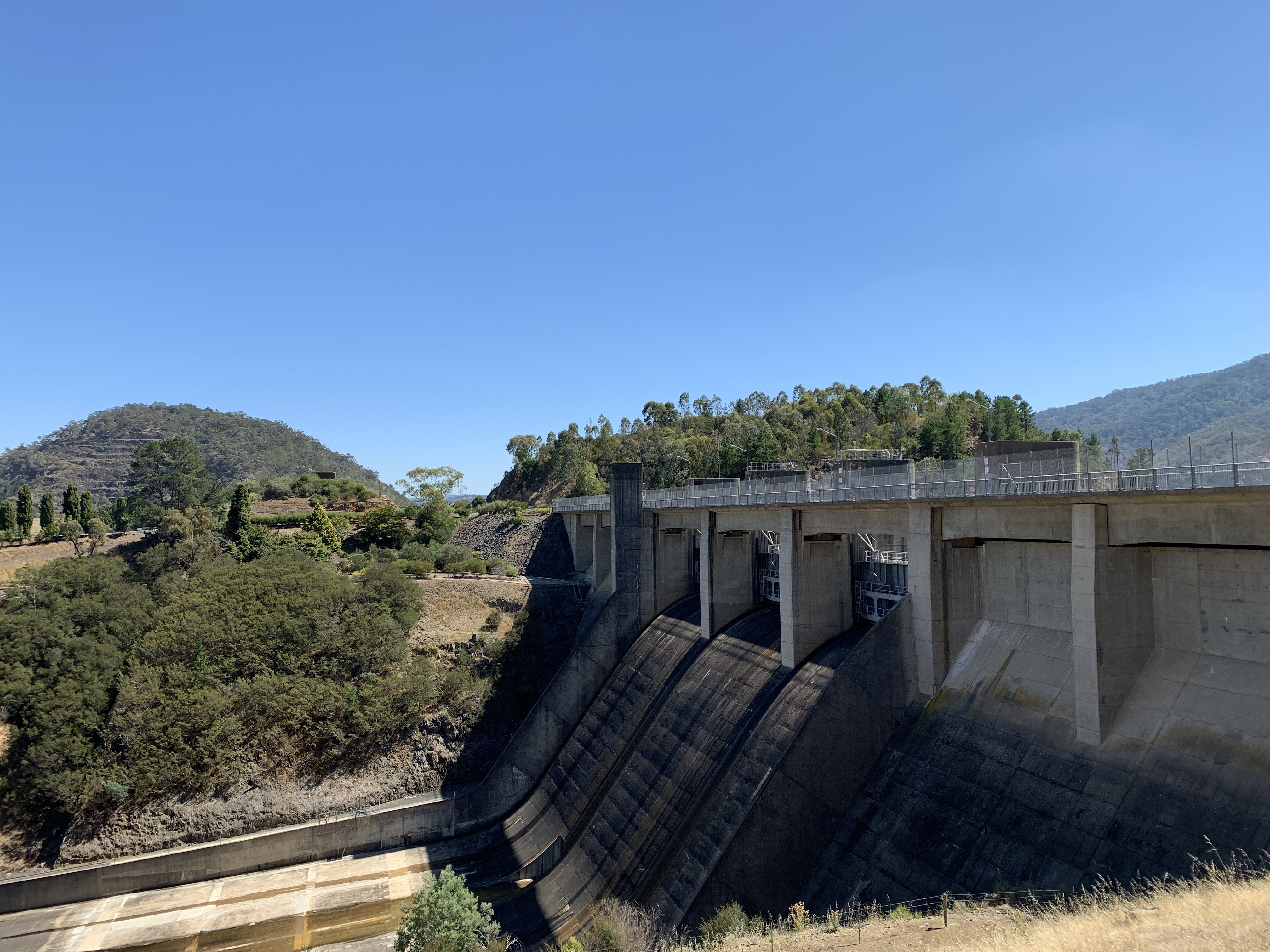
We drove out to check out the dam wall and it’s impressive. On the far shore we could see houseboats moored up. We also drove across the spillway and could look down onto the Goulburn River below. We drove to the Boat Harbour but I do not recommend any caravan or big motorhome drive down there as it was a really narrow road and not a lot of room to turn around at the bottom. All the moored houseboats did look lovely though. We’ve never done a houseboat holiday. We think we’d like to try that.


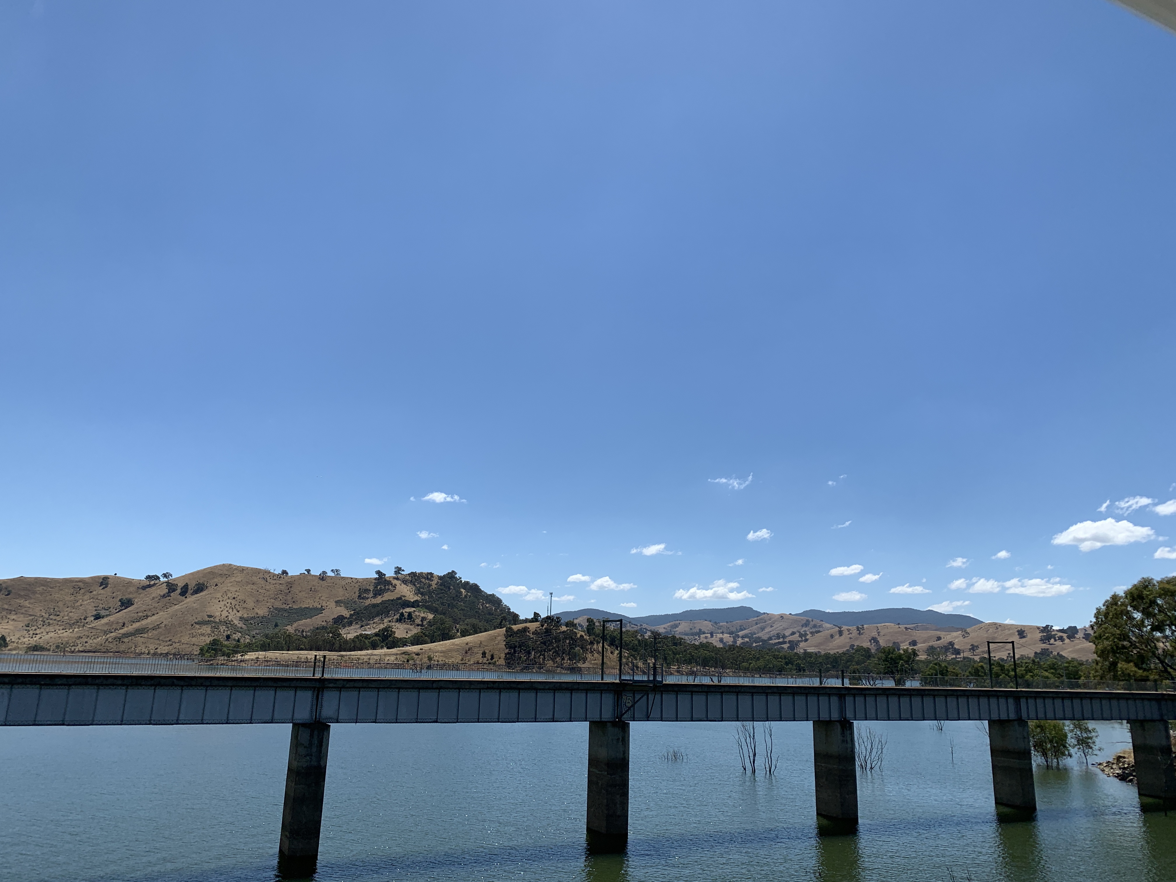
After checking out Eildon we headed back to Thornton on the Back Eildon Road on the other side of the river to the way we came in. Then through Alexandra again and on through Bonnie Doon. The countryside all around this part of Victoria was very dry. There was long grass so they’ve had good rain however the grass was all browned off and the hills and valleys were very dry. It is at Bonnie Doon that the Great Victorian Rail Trail crosses over the Brankeet Arm of Lake Eildon.
We arrived in Mansfield at lunchtime and pulled into the carpark near the Tourist Centre to have lunch. I visited the Tourist Centre and picked up some brochures and checked with the lady whether the road to the spot we were thinking of camping is suitable for motorhomes. She explained that it is a tar road to Goughs Bay and for a while after but then it becomes a gravel road which eventually becomes a dirt track. She explained that the campsites are all clearly marked along the way and she and her family had only been out there camping a couple of weeks ago. That was all good to know.

Richard likes to be parked up before 4pm so instead of exploring Mansfield we headed out of town towards Goughs Bay. Just before Goughs Bay you turn onto Walsh’s Road and follow this to the Delatite Arm Reserve. There are numerous campsites along the western side of the Delatite Arm and camping is free but on a first-come, first-served basis. You cannot book a site. It is a popular spot during holiday periods and you’d be wise to get to a spot early to secure one. We didn’t have any trouble though and found ourselves a spot at Taylors, some 7km along the dusty gravel road.
Each campsite has pit toilets and and some have fire pits. Sites are clearly marked and you cannot camp below the high water line indictated by signs or timber fences. As it was a Total Fire Ban we wouldn’t be using the fire pit. You can have pets but they must be under control at all times.
It was difficult to find a flat spot and had to resort to using our chocks. This is when automatic levellers would be really handy. All the campsites are on a gentle slope down to the water but we managed to get level so we could use our slide out. We love our slide out. It makes our motorhome so spacious.
There were three other groups of campers at Taylors but we were a long way apart.
The water looked so inviting it was time to get my inflatable kayak out and get on the water. I quickly put dinner on to cook and, while Richard worked on his laptop, I headed off for a paddle. It was beautiful out on the water.